Hike to Colchuck Lake, Leavenworth
September 7, 2026
Washington Trails Association page for this hike. All Trails page for this hike.
This is a tough hike, at least for me. The round trip according to Ying’s watch was 10.77 miles and there were sections with a lot of elevation gain. As you will see from the photos, it certainly was worth the effort.
The WTA page says it is 8 miles round trip. Maybe that doesn’t include walking to the far side of the lake. The All Trails page measures it as 9.1 miles. There was 4 miles of dirt road with the early parts having deep potholes, so while we did see sedans at the trailhead, use caution. Always read trip reports from the hiking sites before attempting a hike so that you come prepared.
This page has over 90 pictures on it as I want to represent what it was like throughout the hike. Feel free to scroll past photos you are less intrested in.
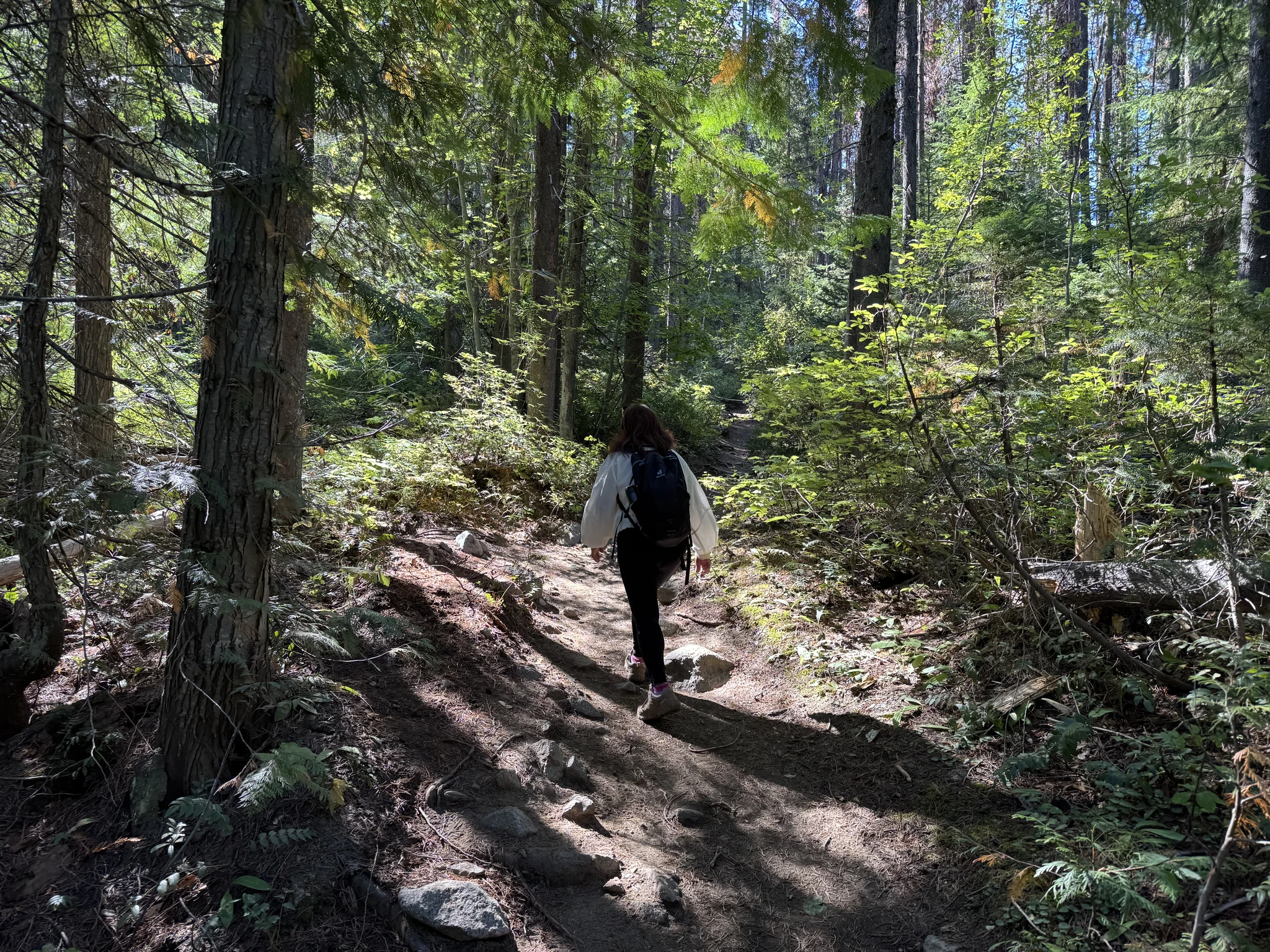
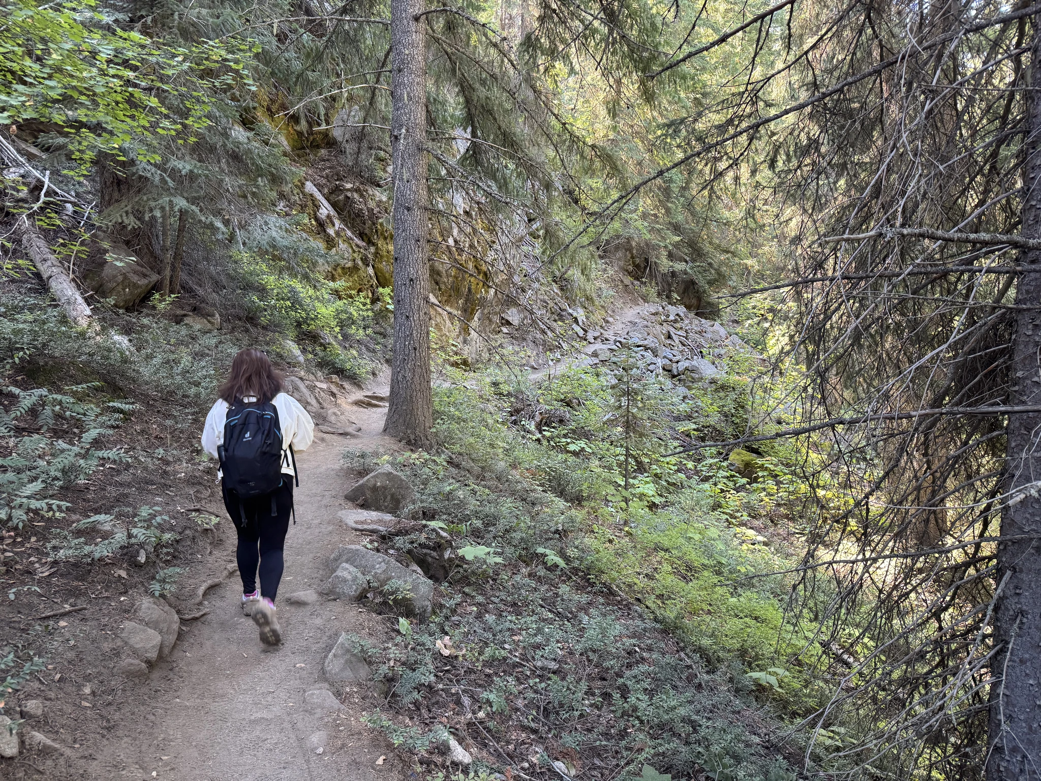
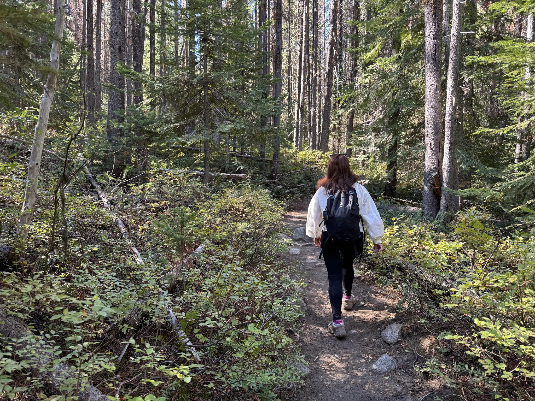
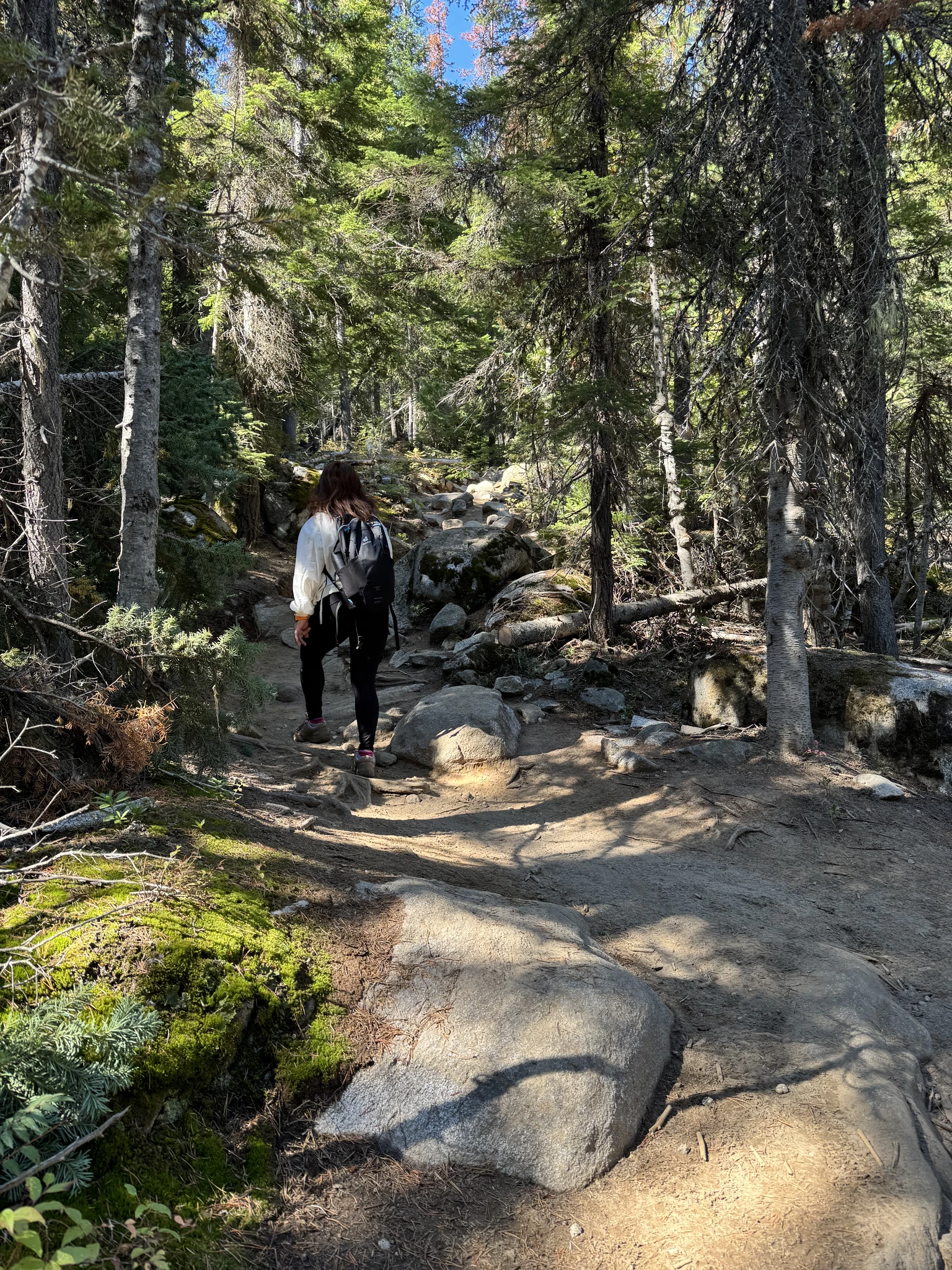
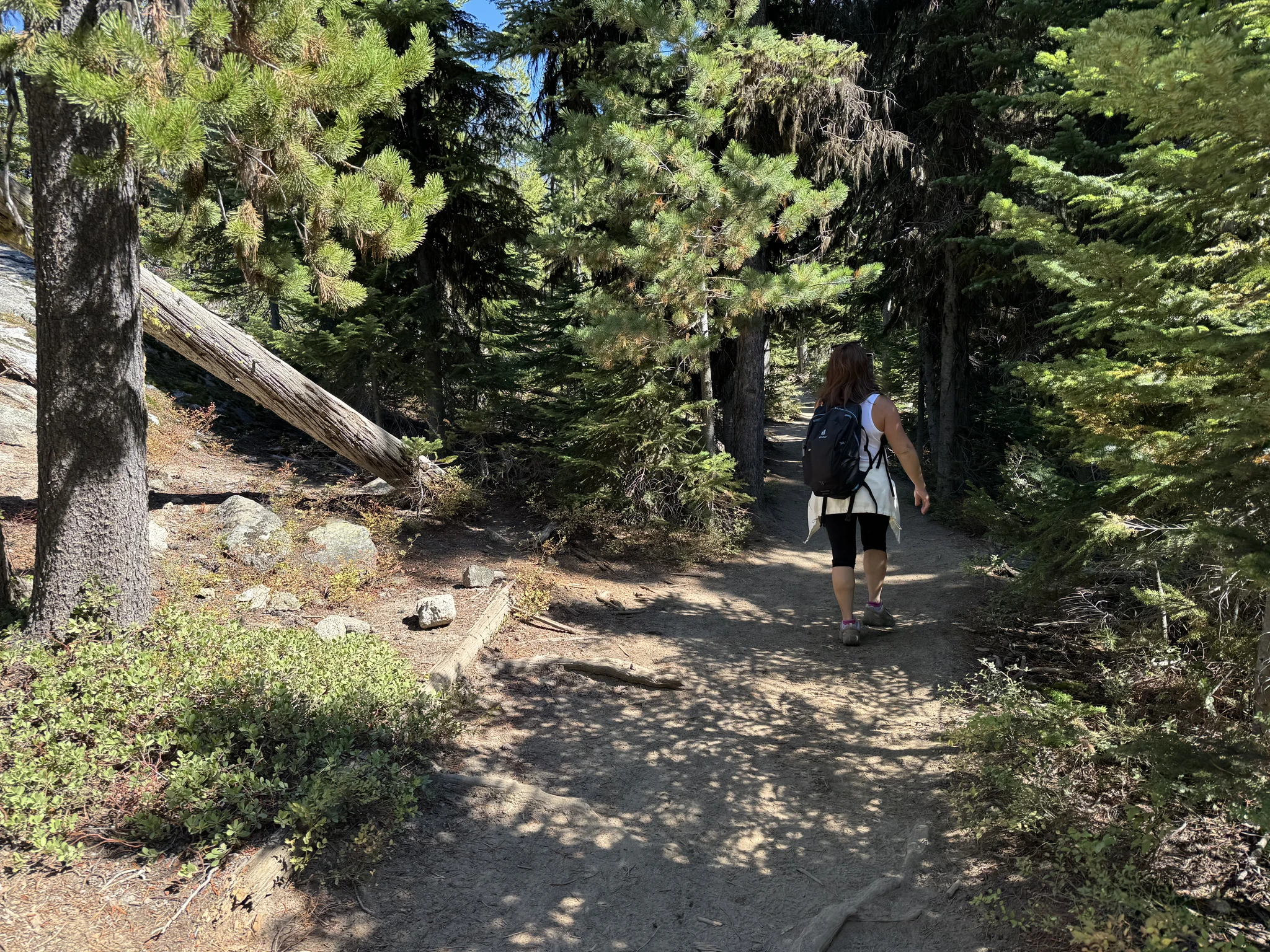
The beginning of the trail was flat and wide. It didn’t take long before the trail transitions into many uphill sections with lots of rocks.
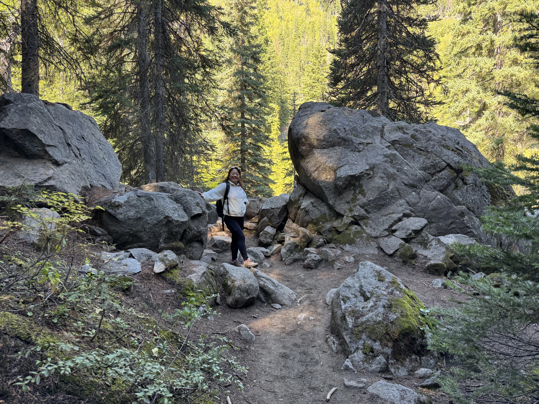
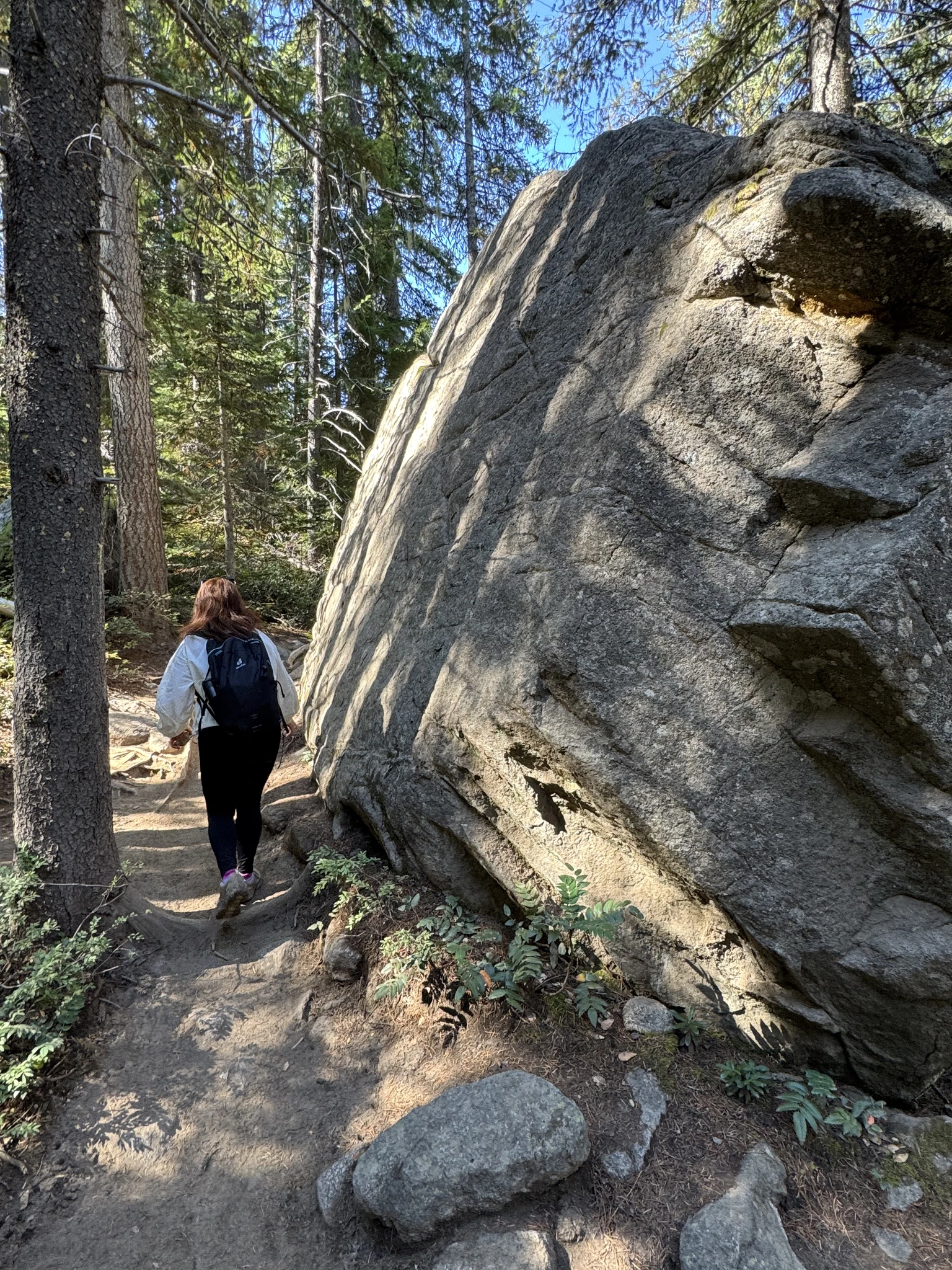
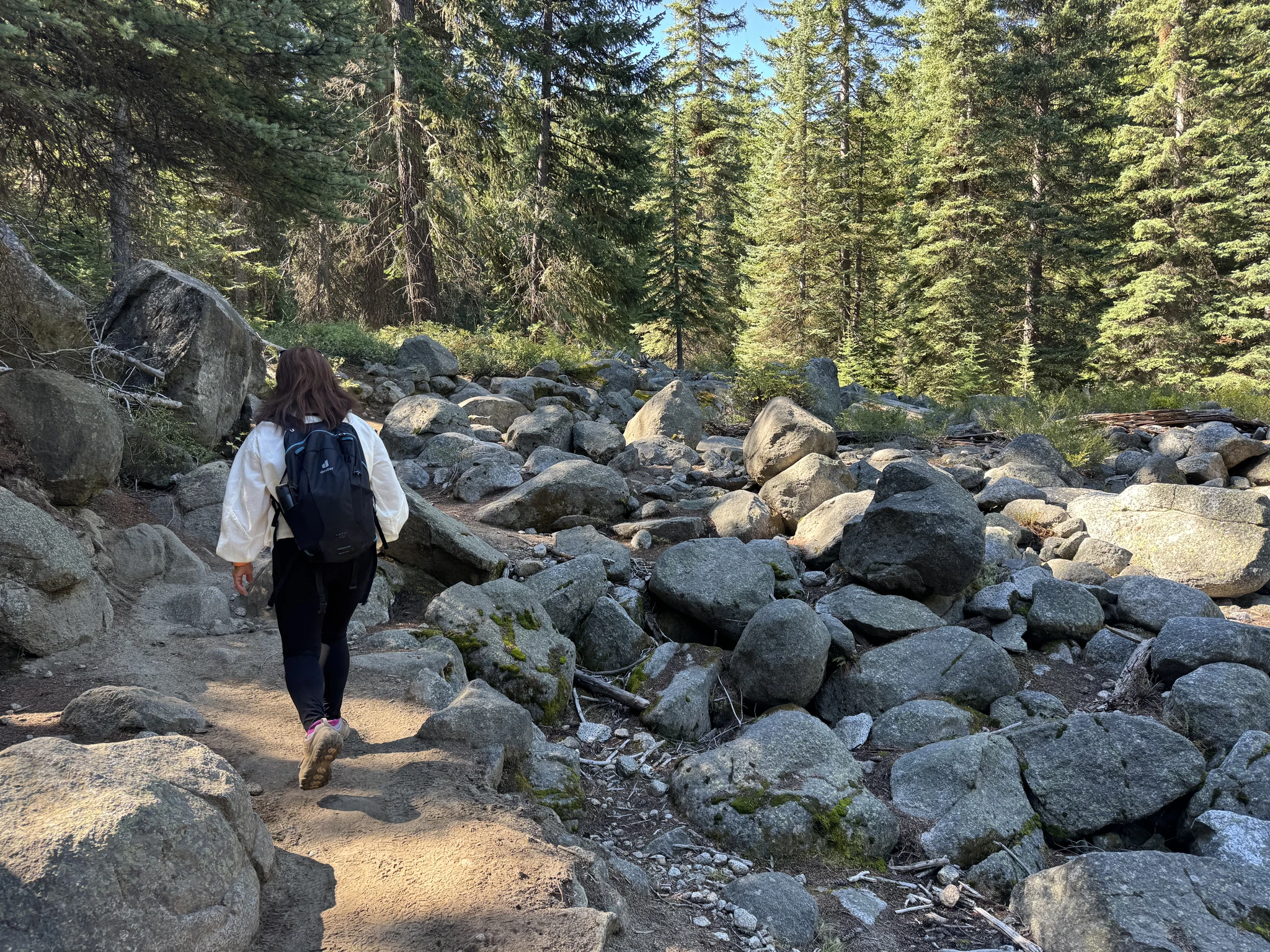
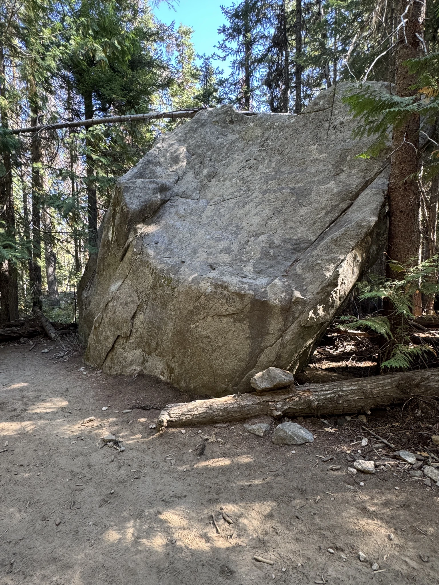
There are plenty of these large boulder size rocks.
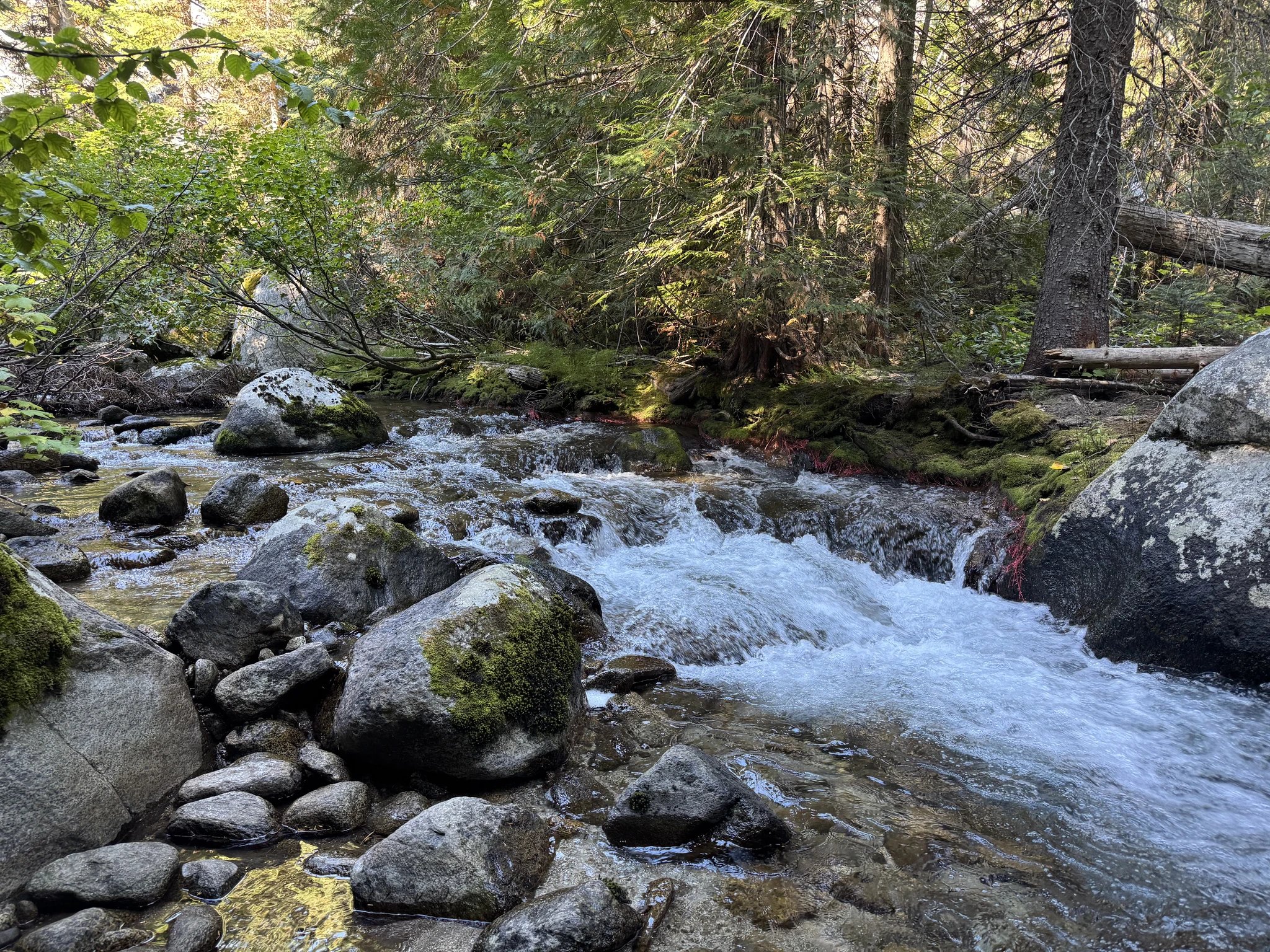
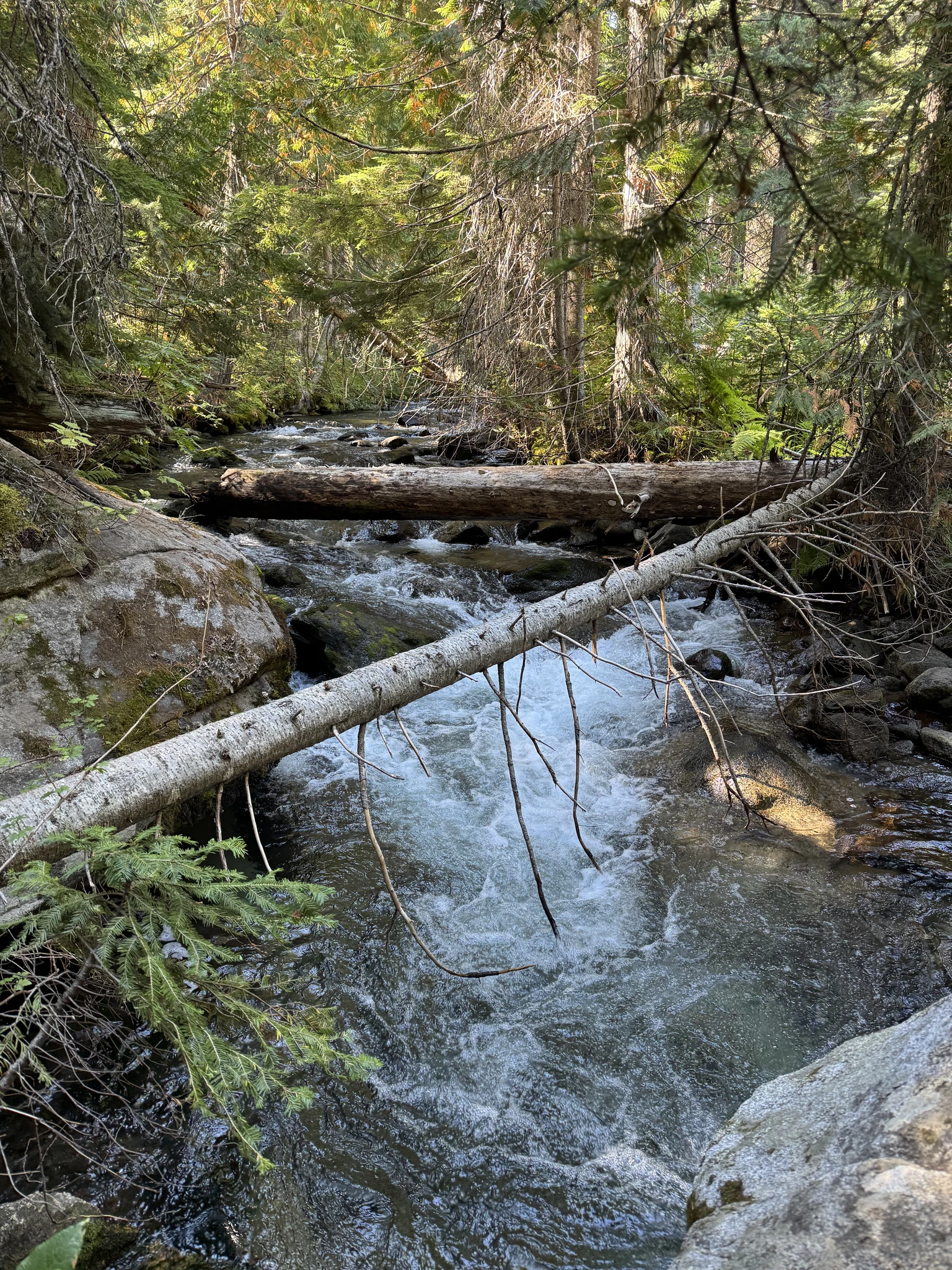
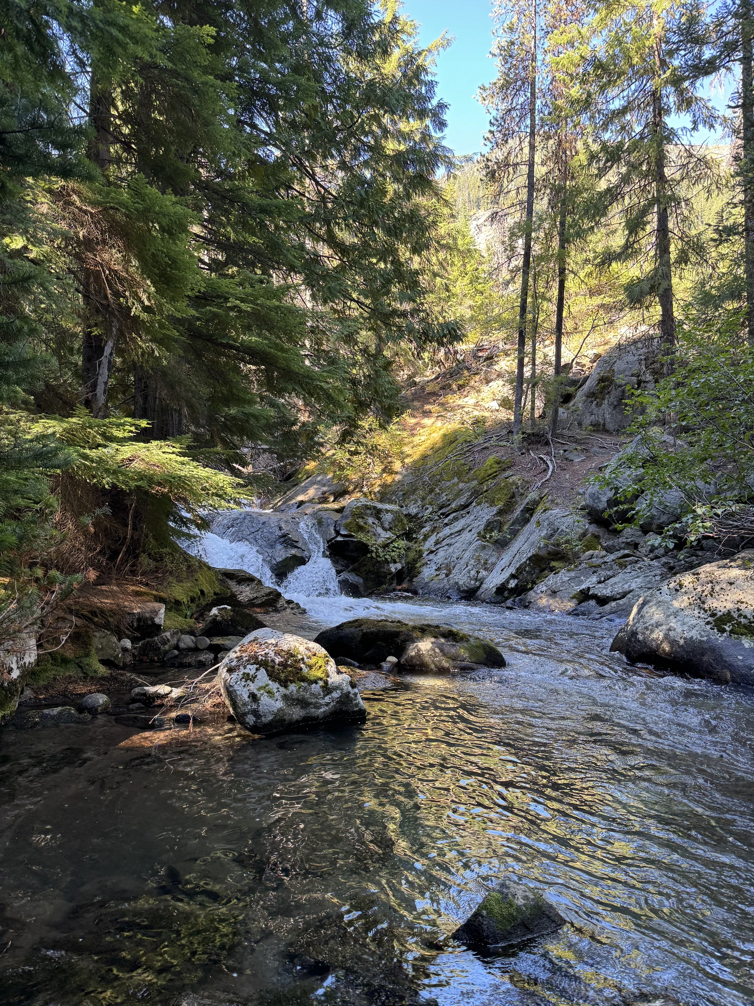
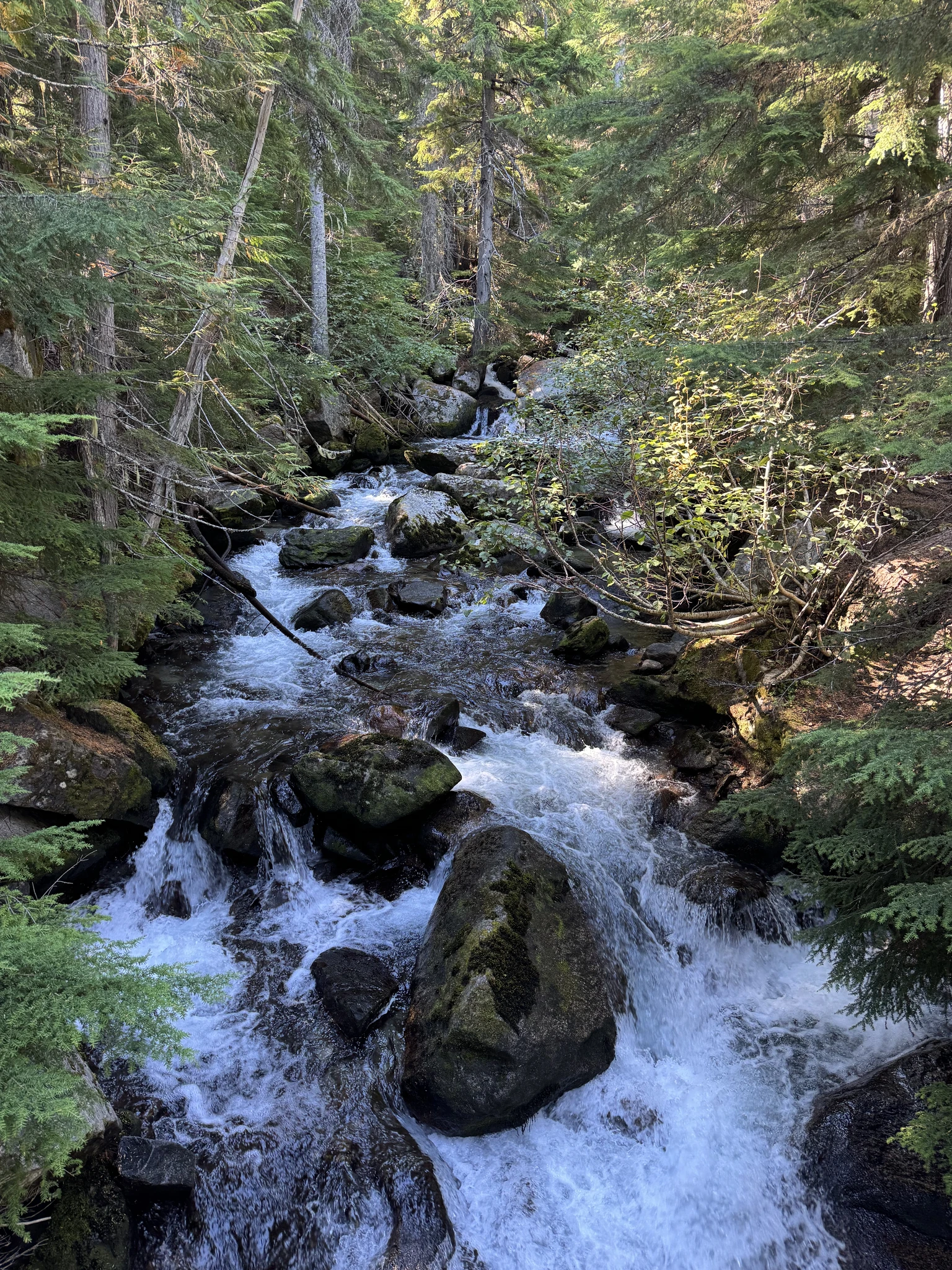
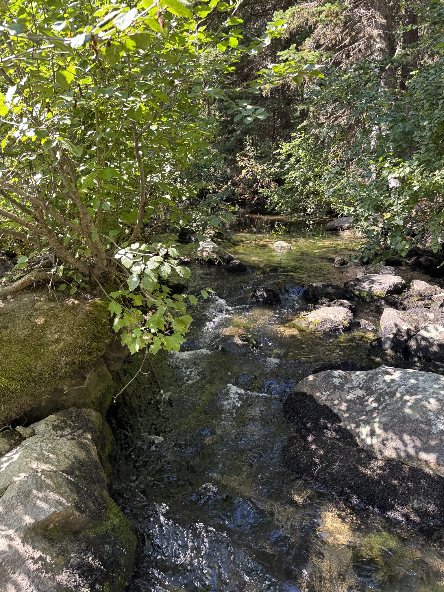
For some time, the trail runs along a creek.
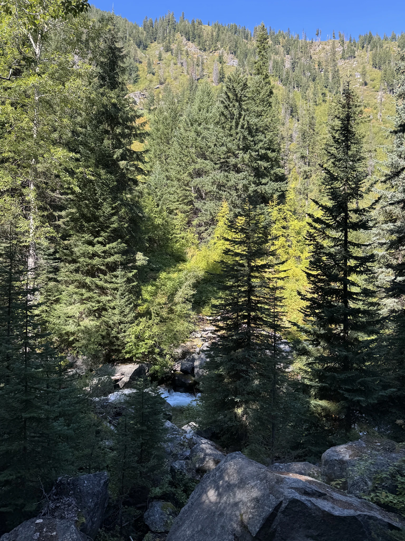
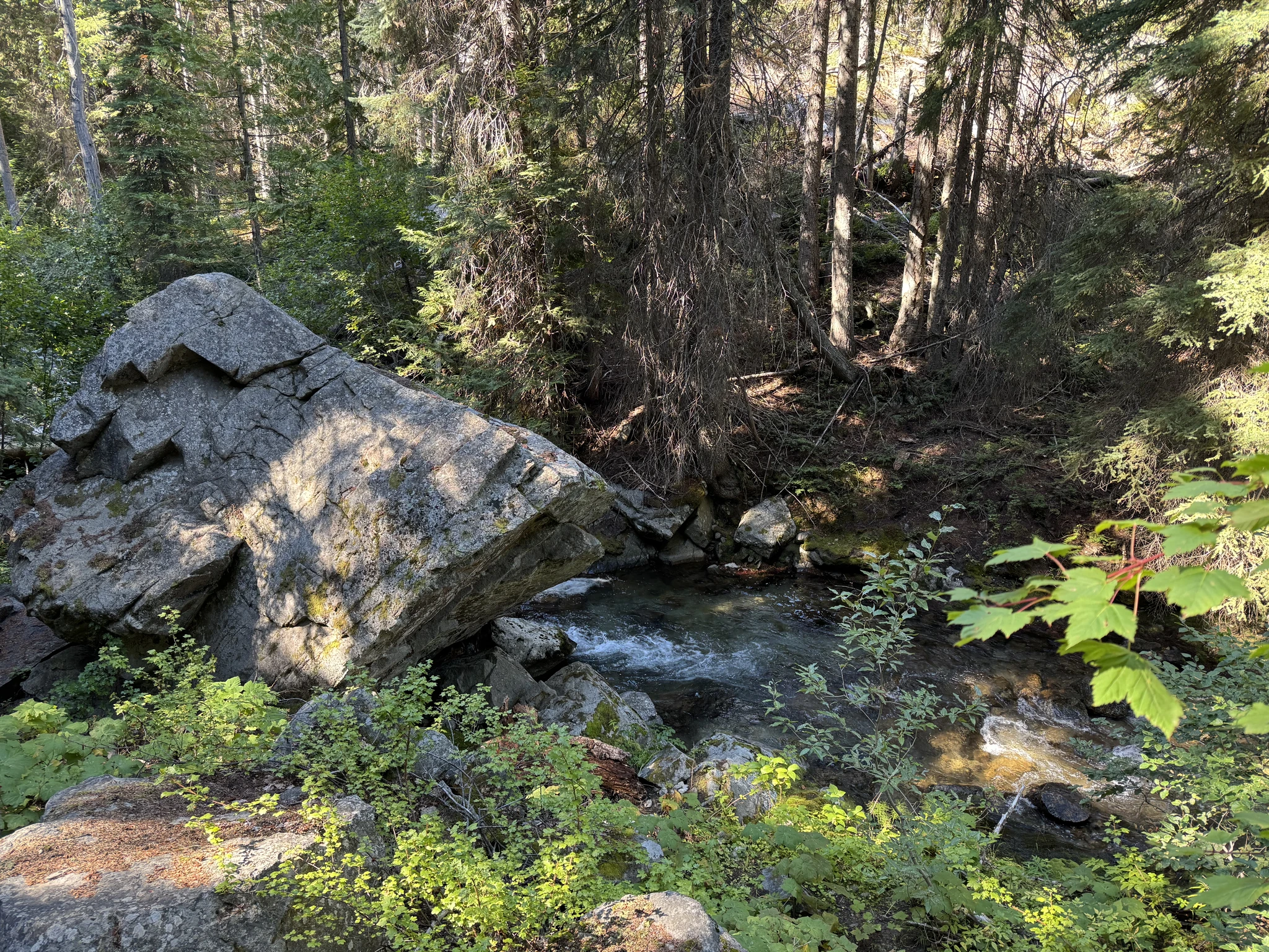
We stop multiple times along the hike to take pictures of the creek.
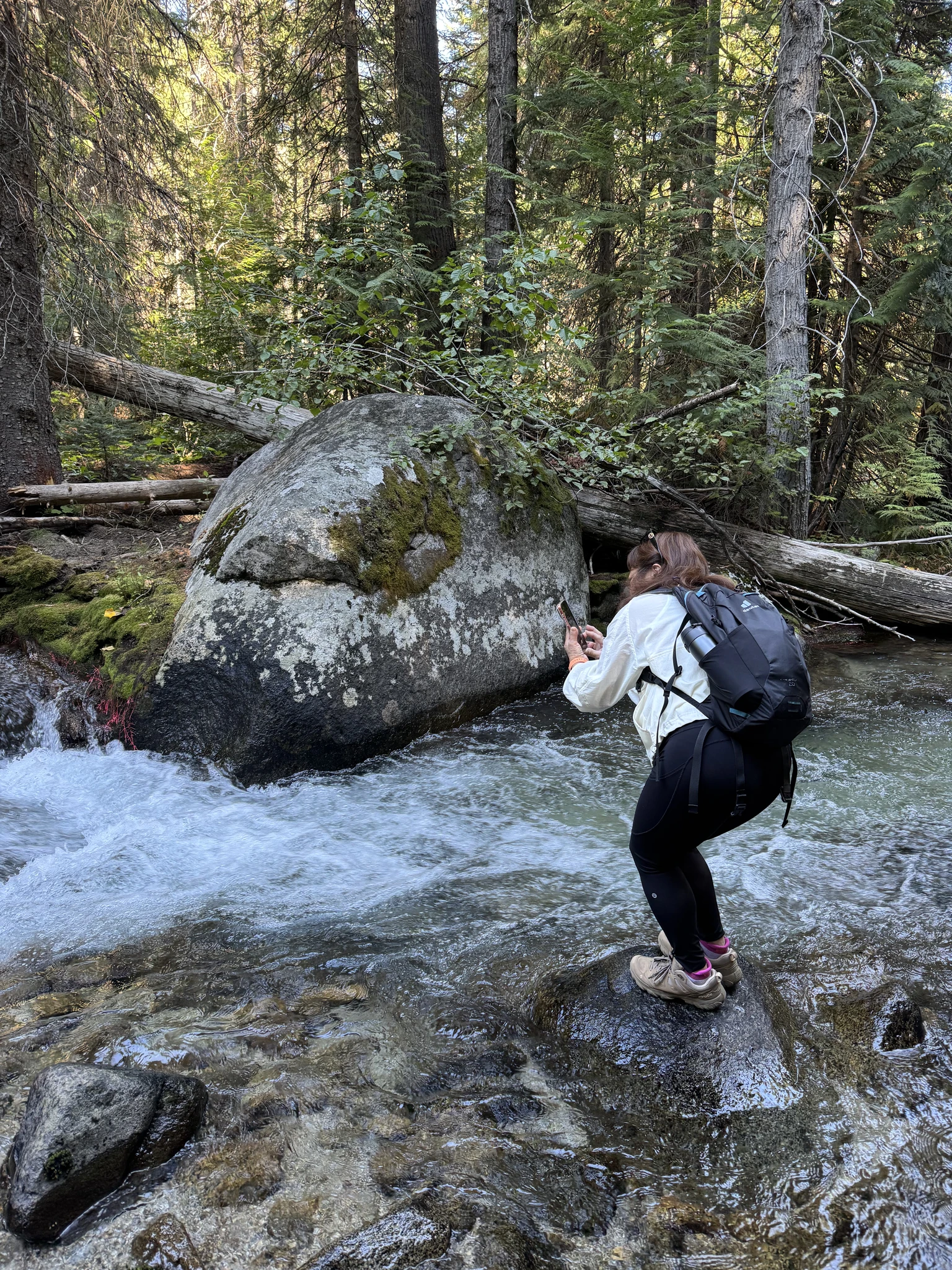
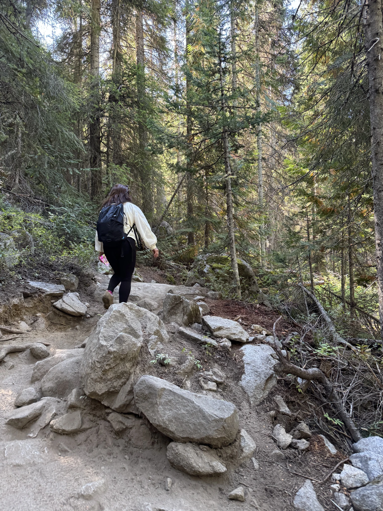
Wow, another huge boulder.
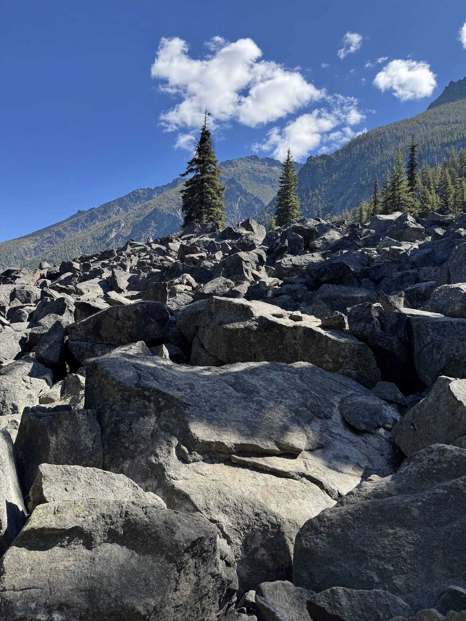
A field of large rocks.
Another nice spot on the creek for a picture.
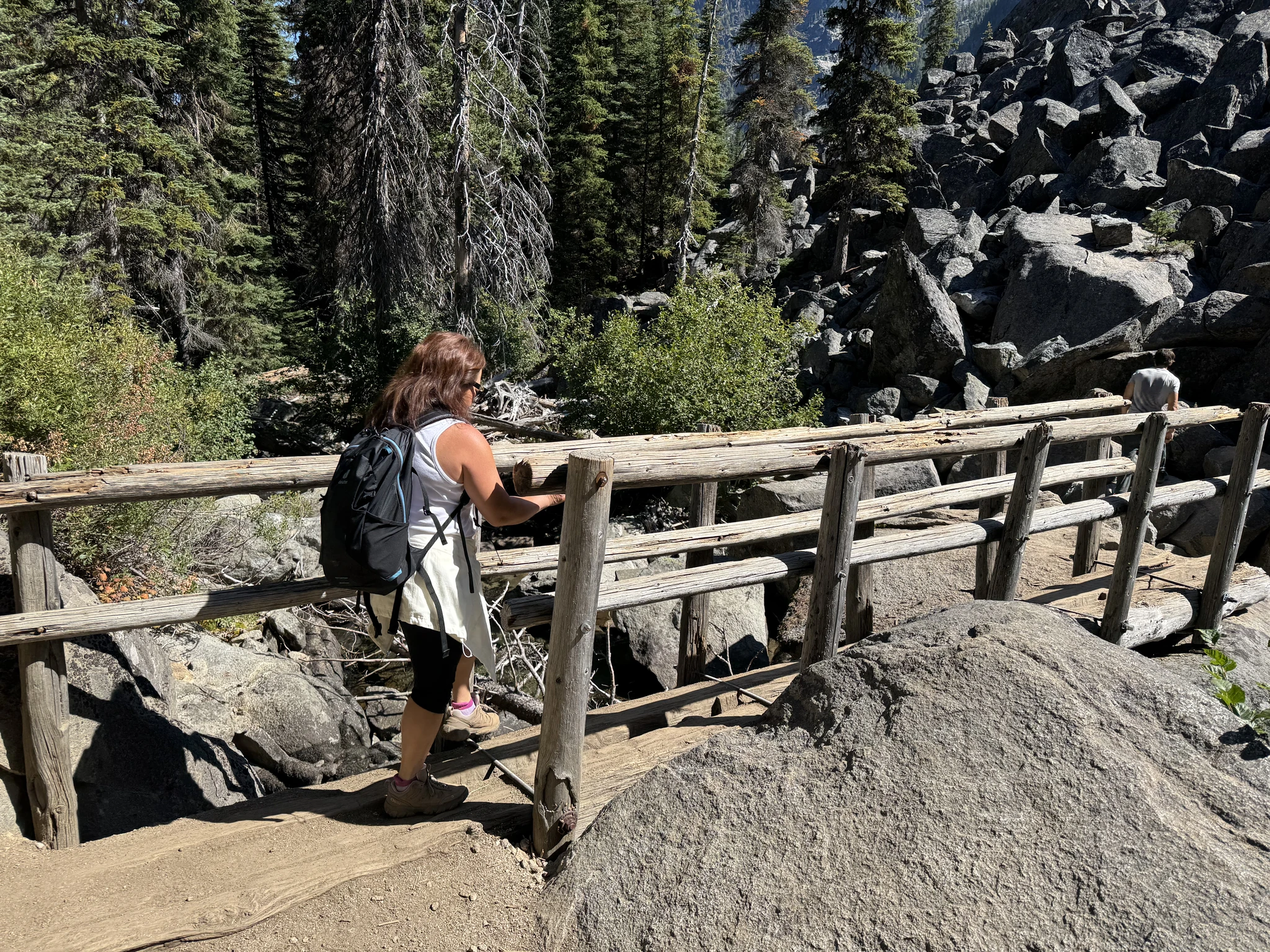
A bridge to cross.
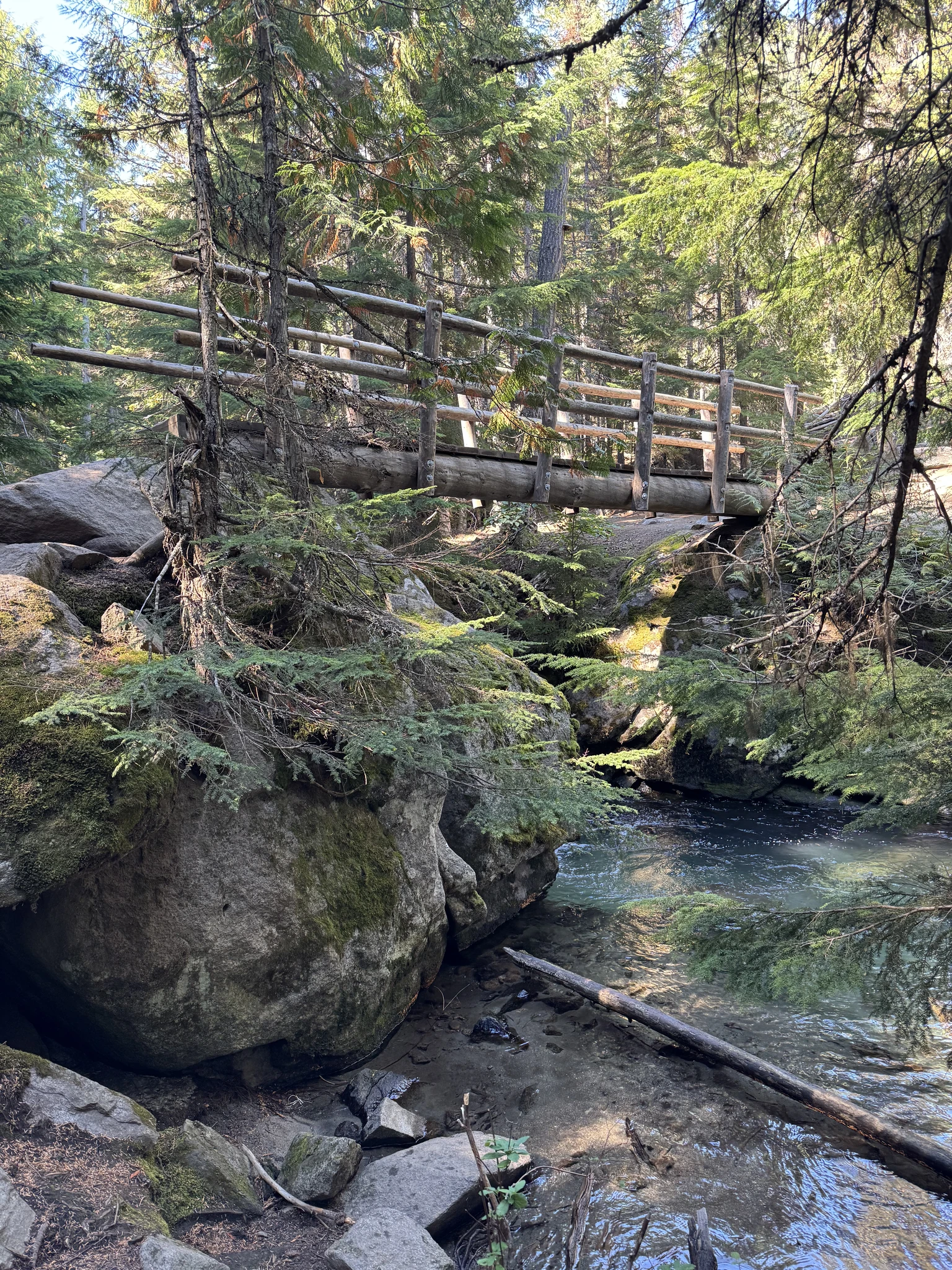
Looking down at the creek from the bridge.
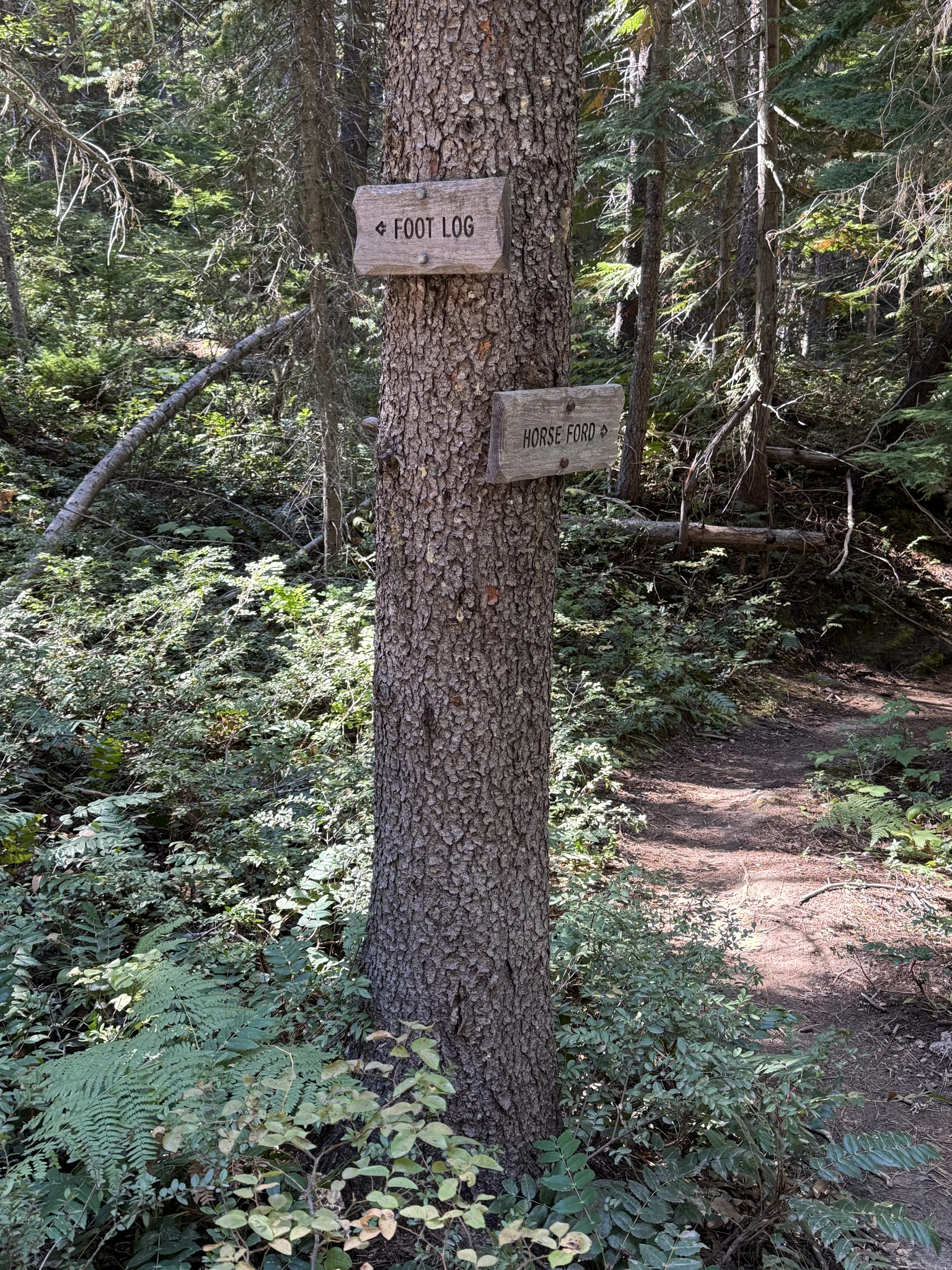
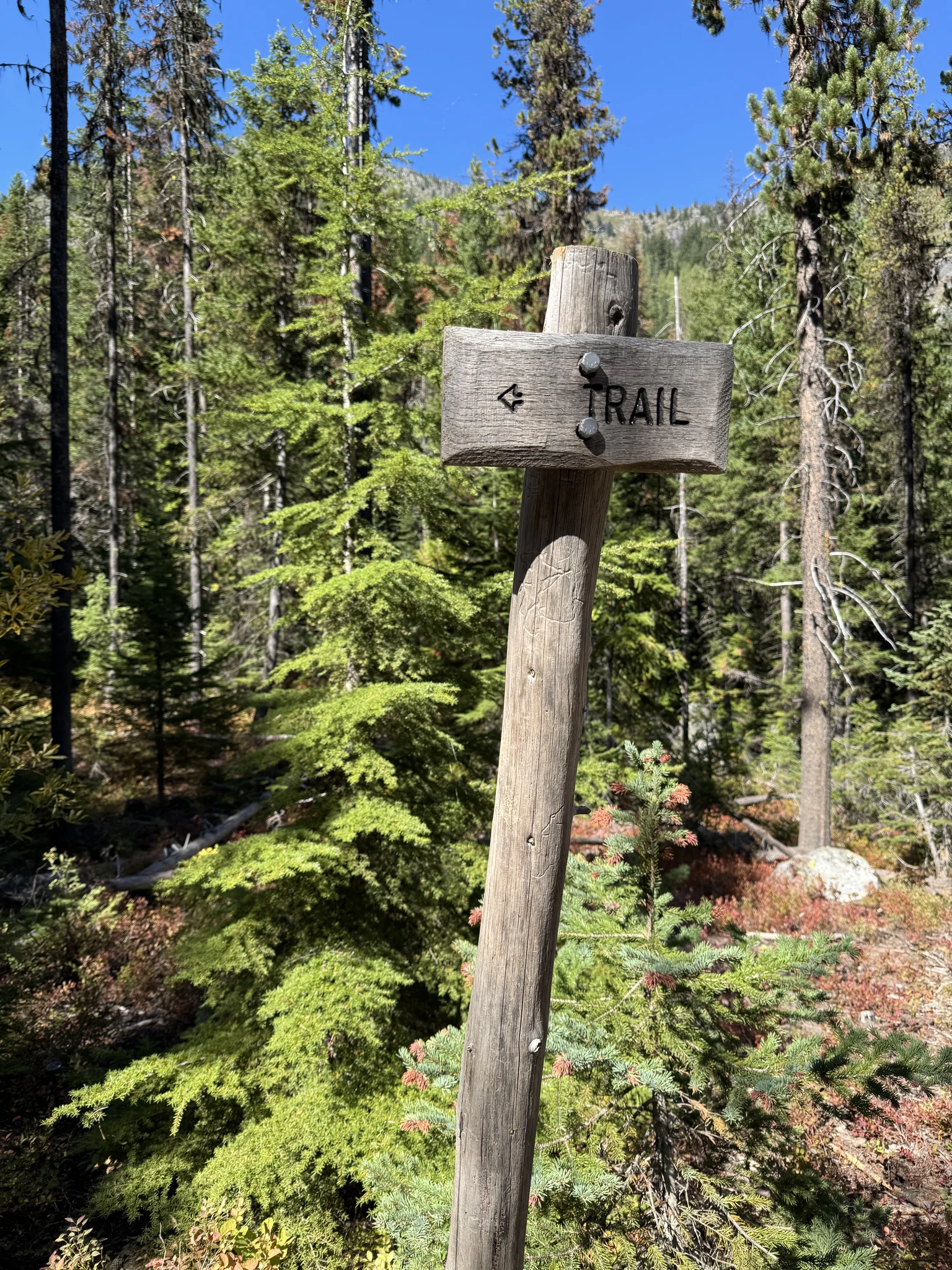
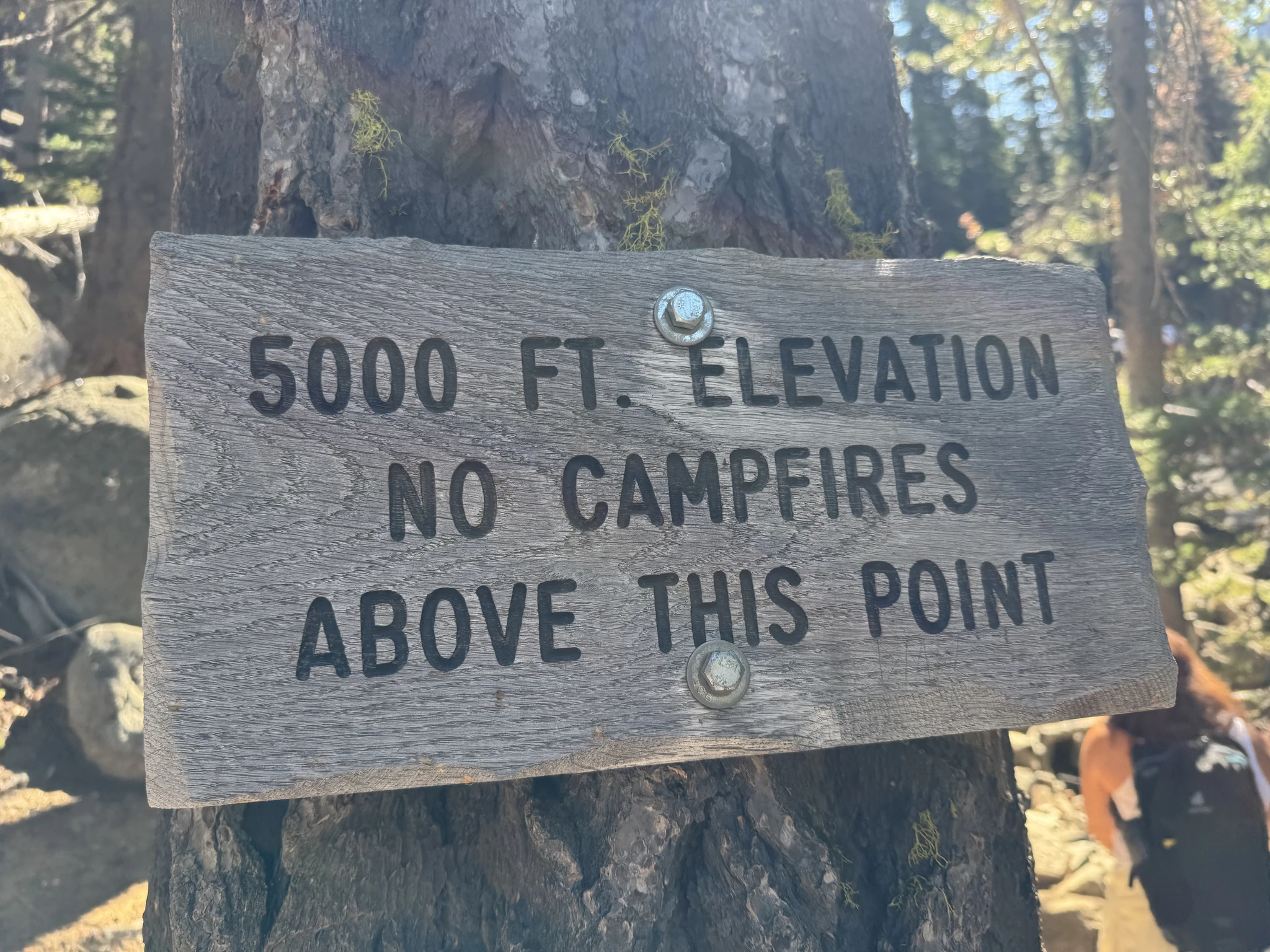
Helpful signs like this keep you on the trail. I was also using the All Trails app on my phone to make sure we didn’t wander off.
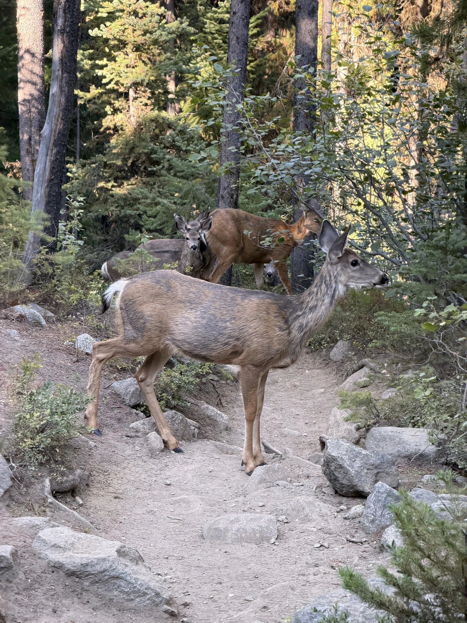
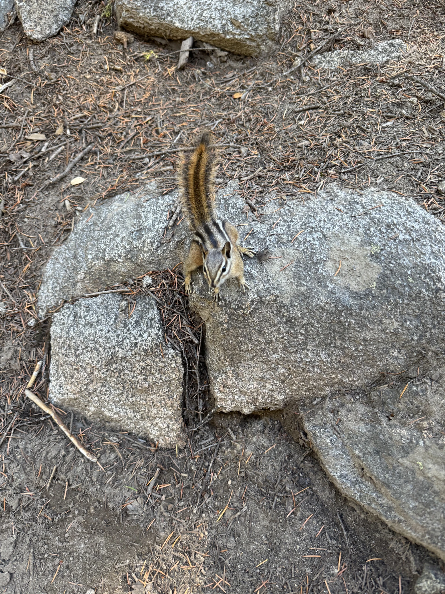
This little guy was begging for a treat.
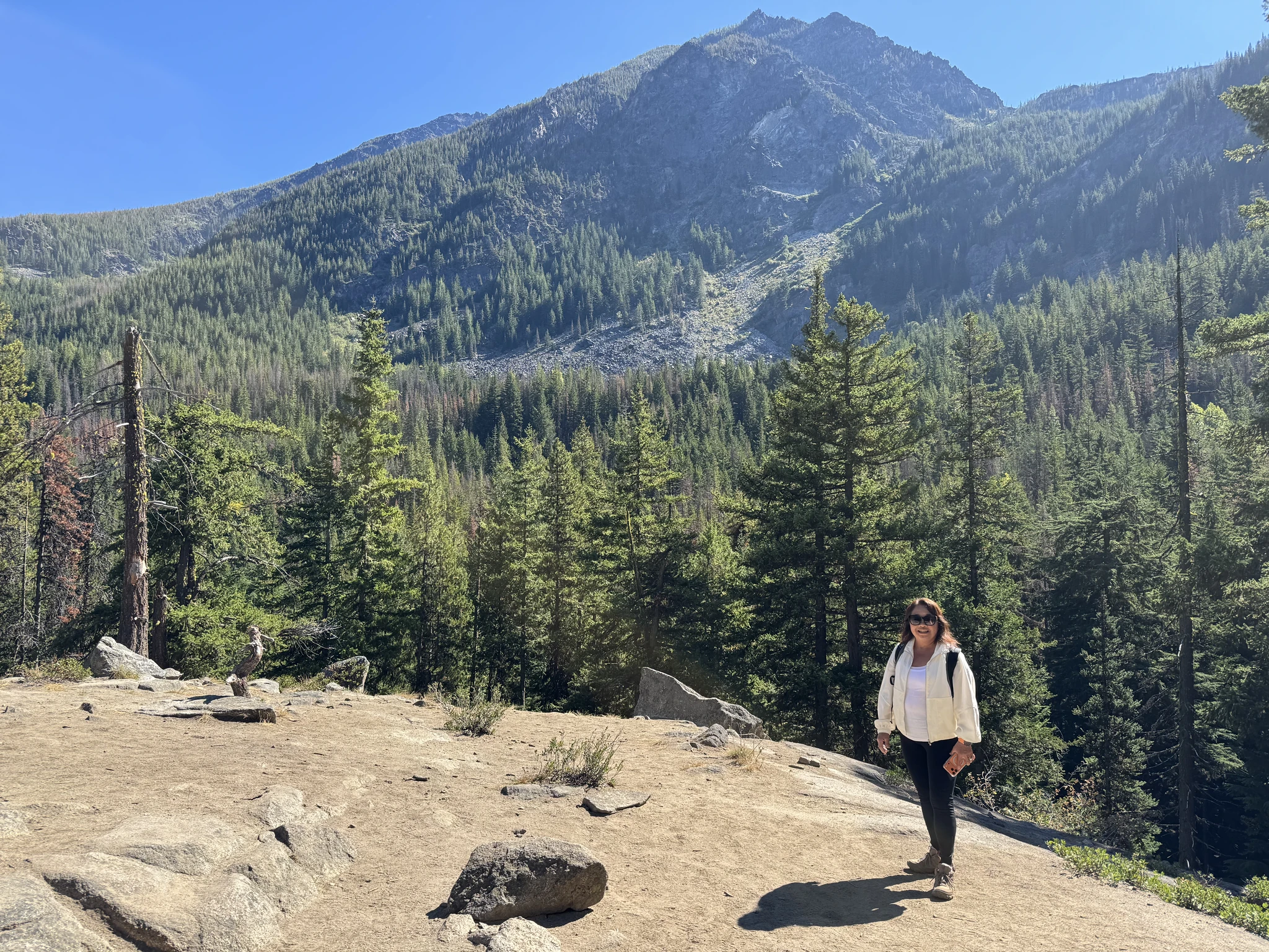
An open area where you can see the surroundings. There are a few of these along the way.
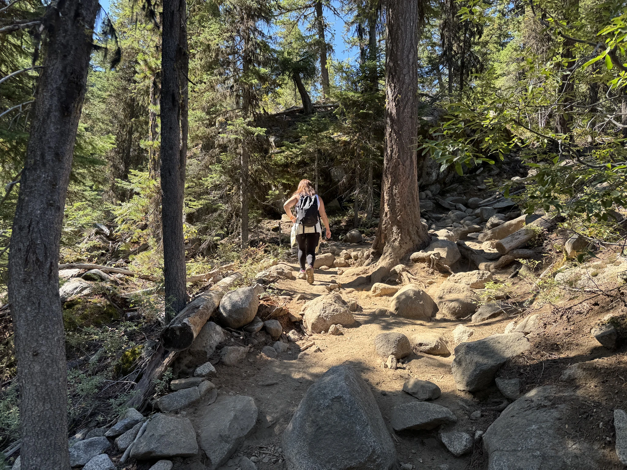
More uphill.
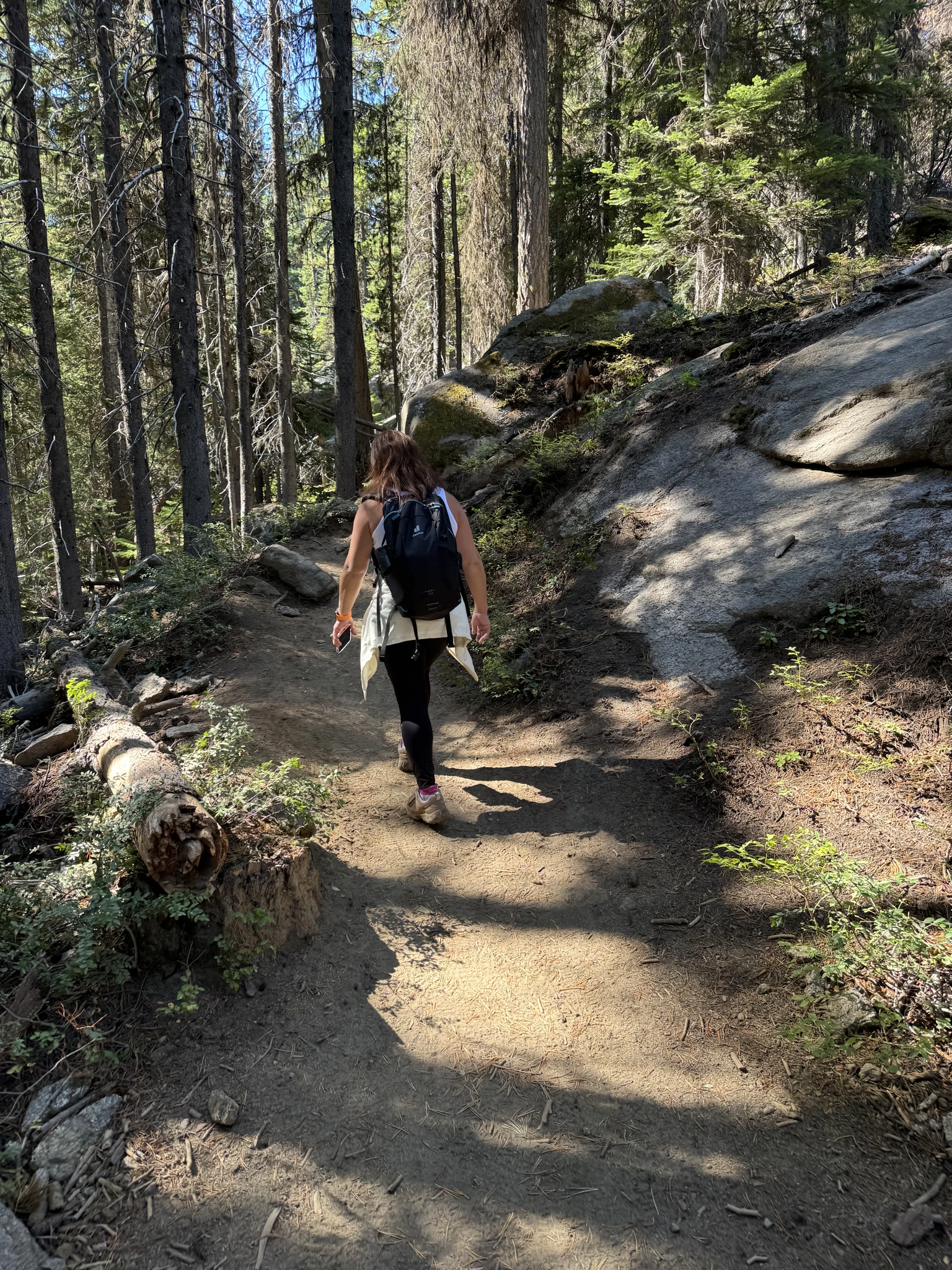
We take a short break.
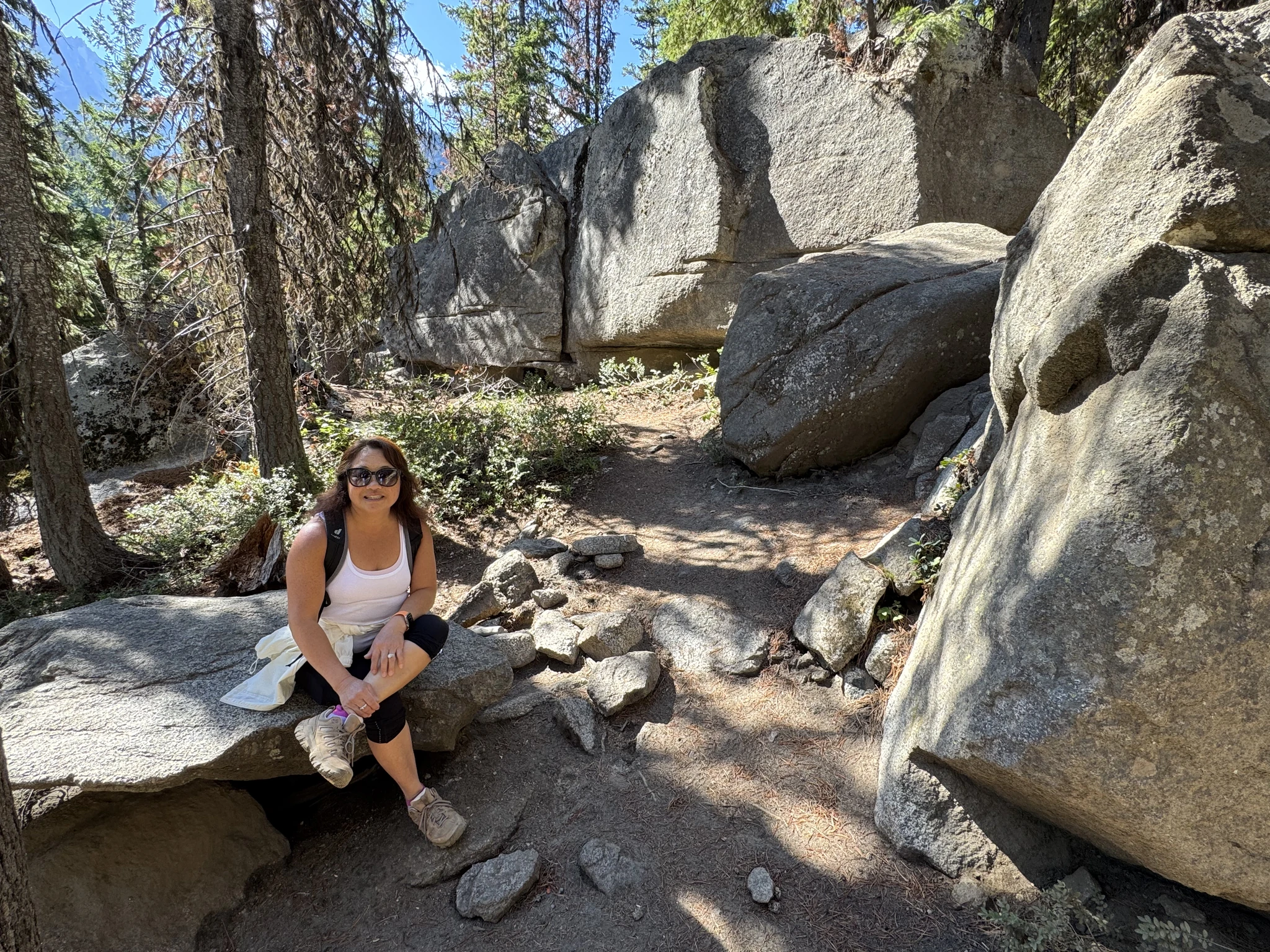
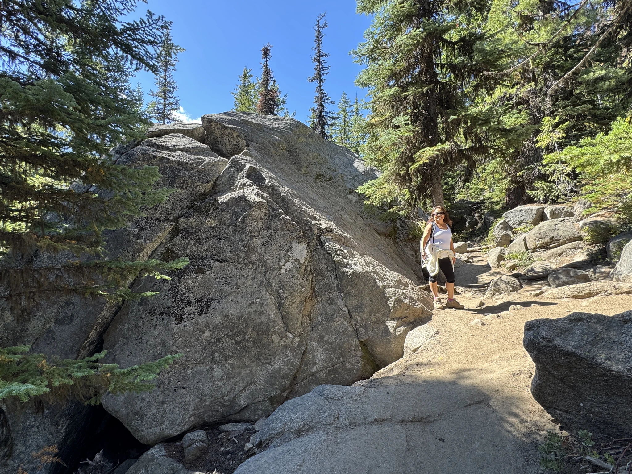
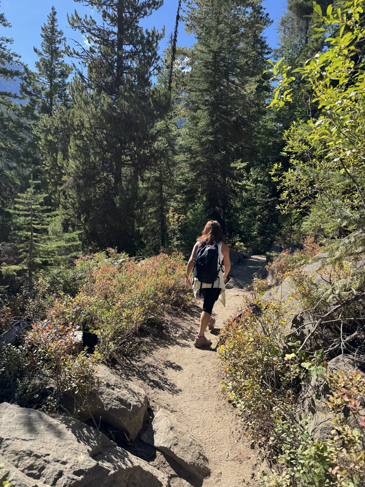
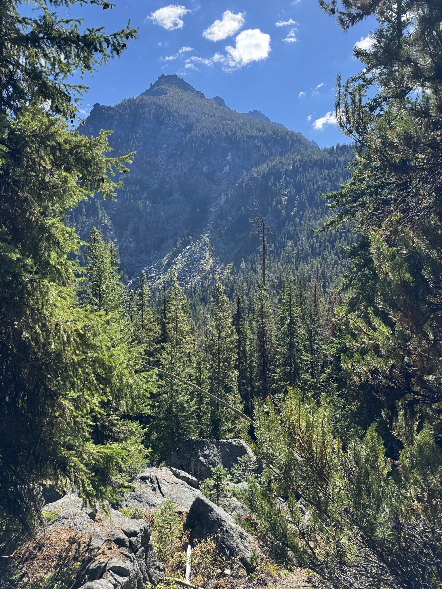
This is a wooded area with an opening between some trees that has a nice view.
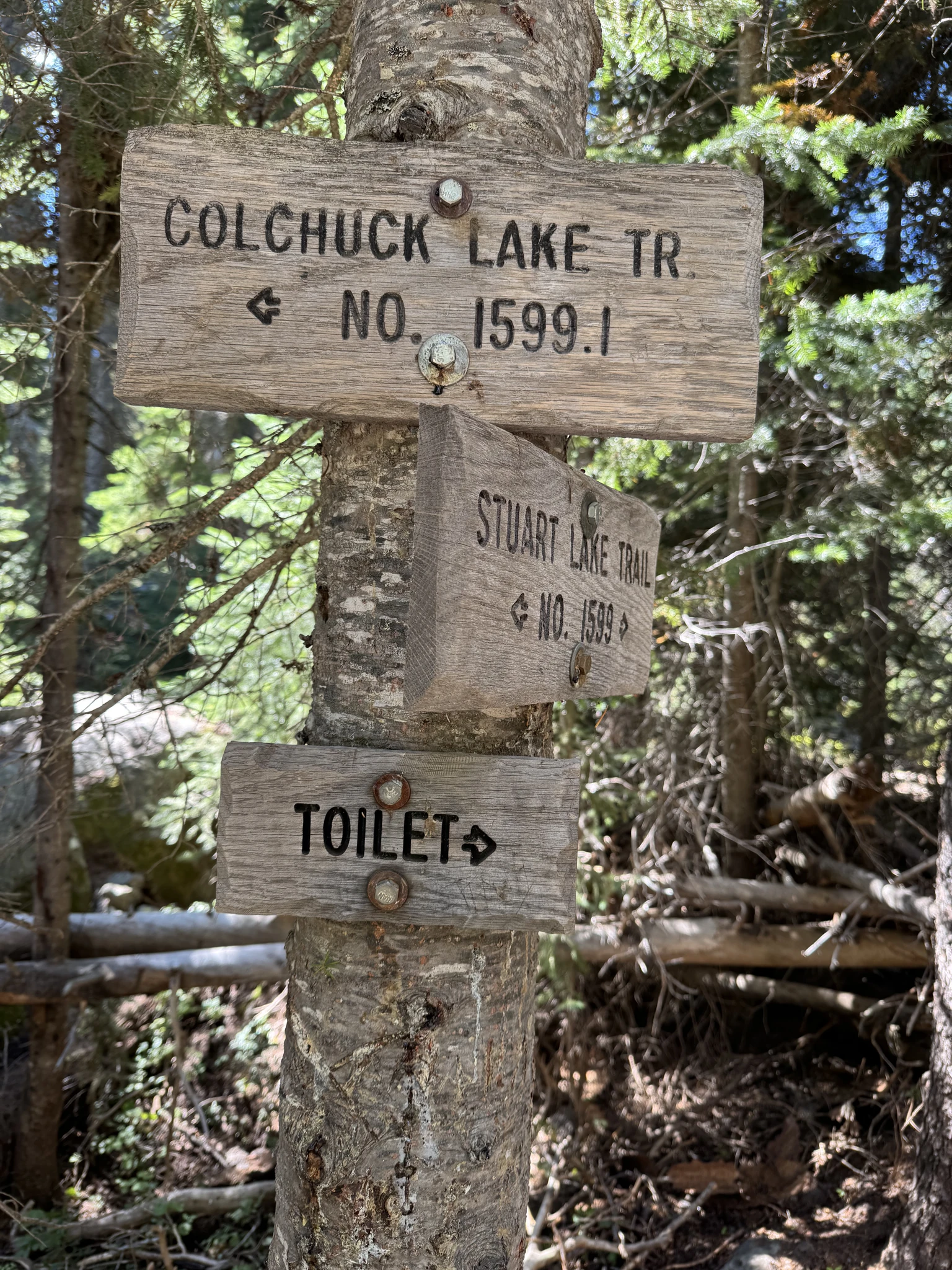
Directional signs. Here we can opt for Colchuck Lake trail or the Stuart Lake trail.
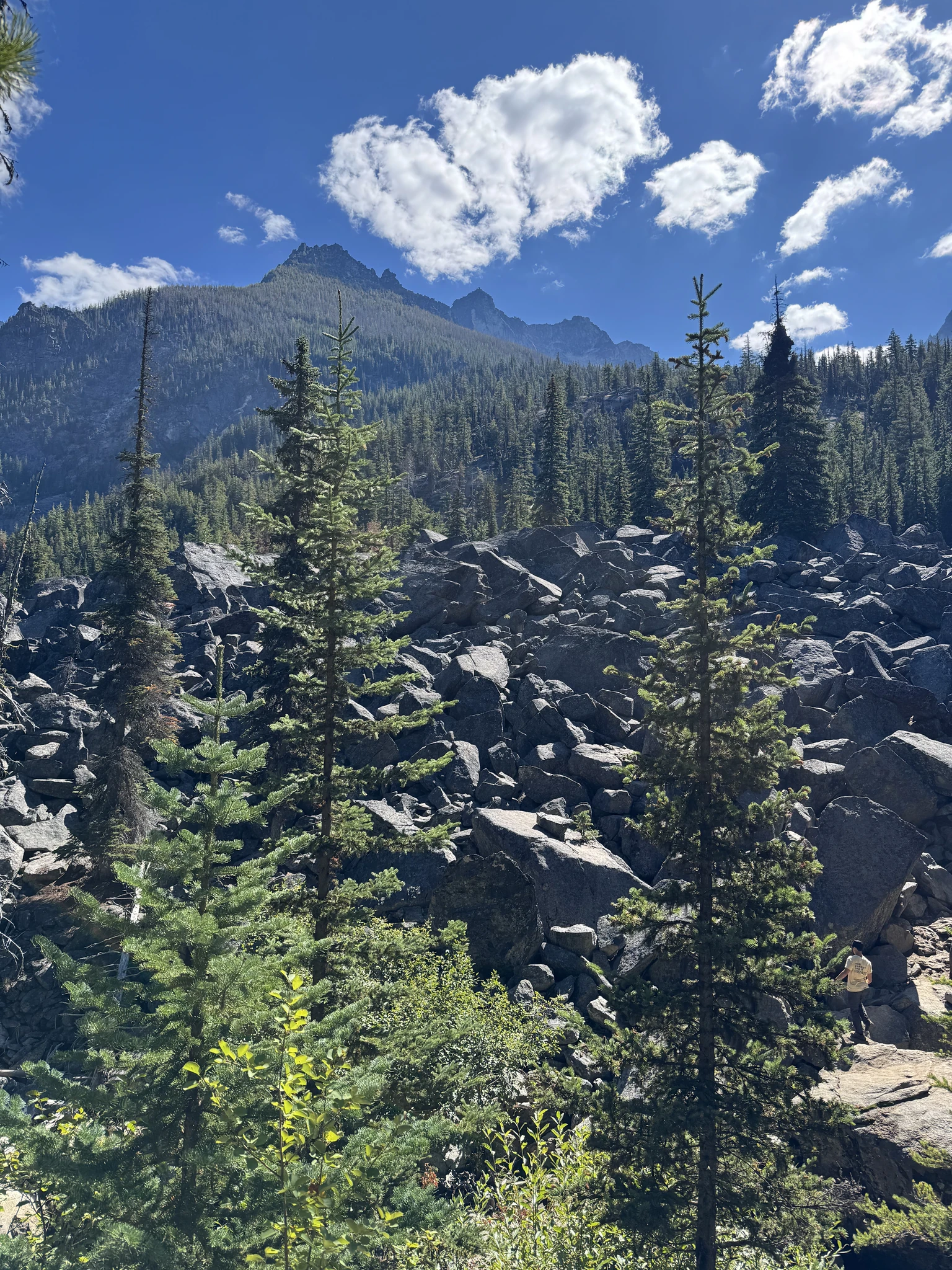
Another field of rocks and some great scenery.
A second bridge over the creek.
The trail goes along the side of the creek.
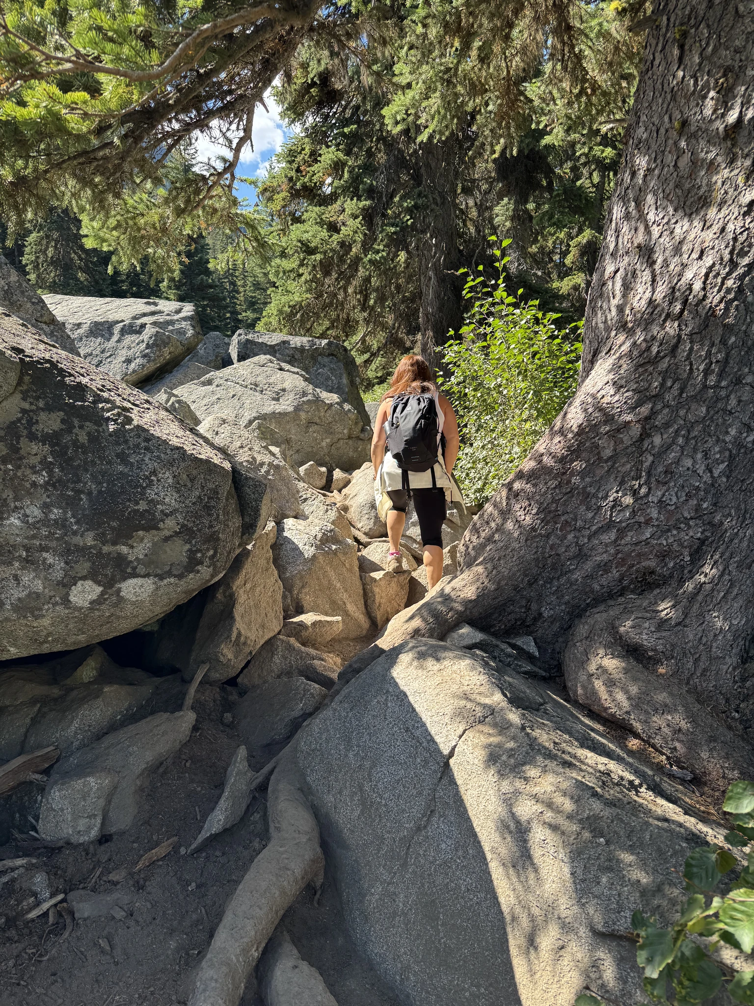
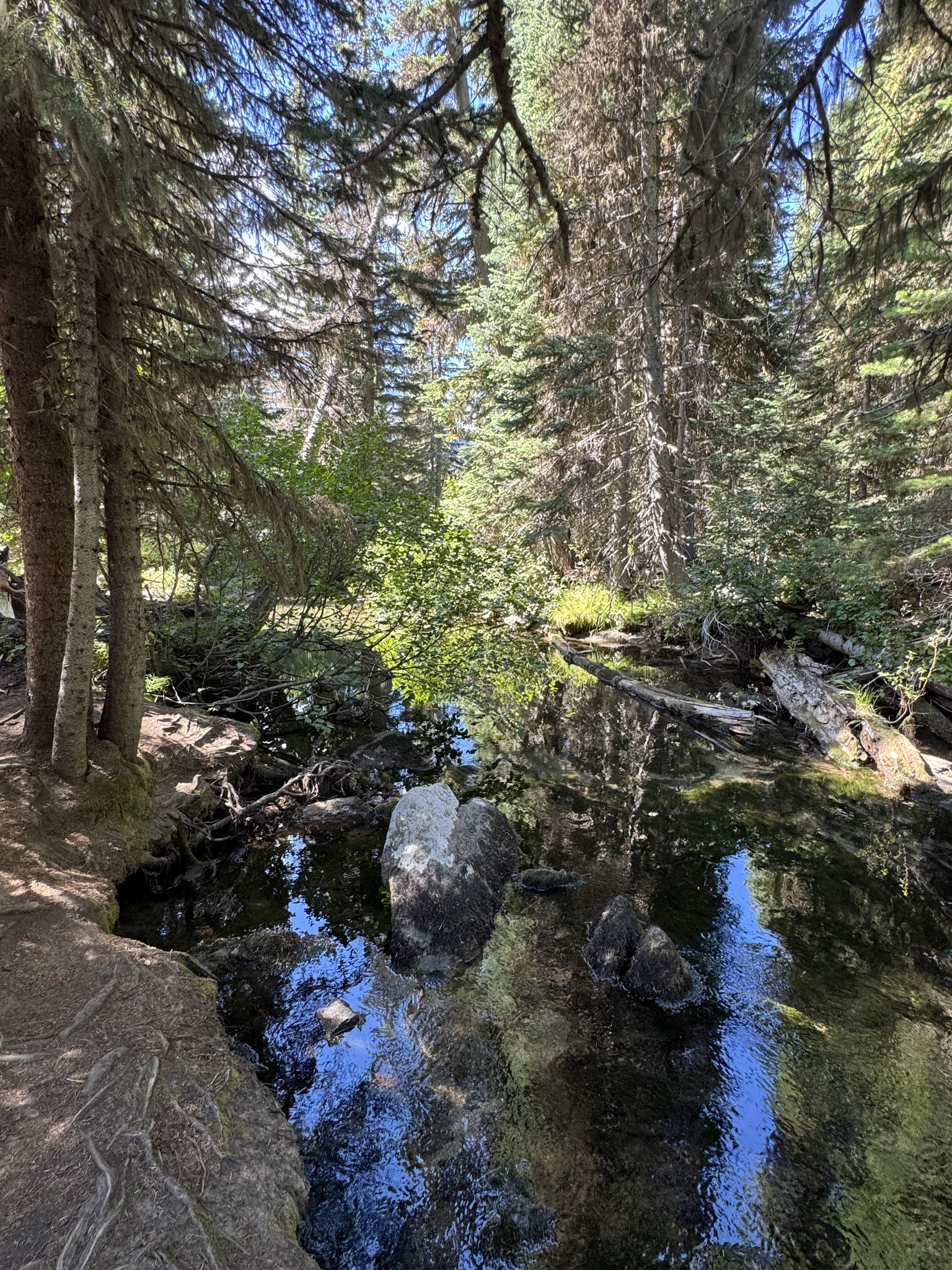
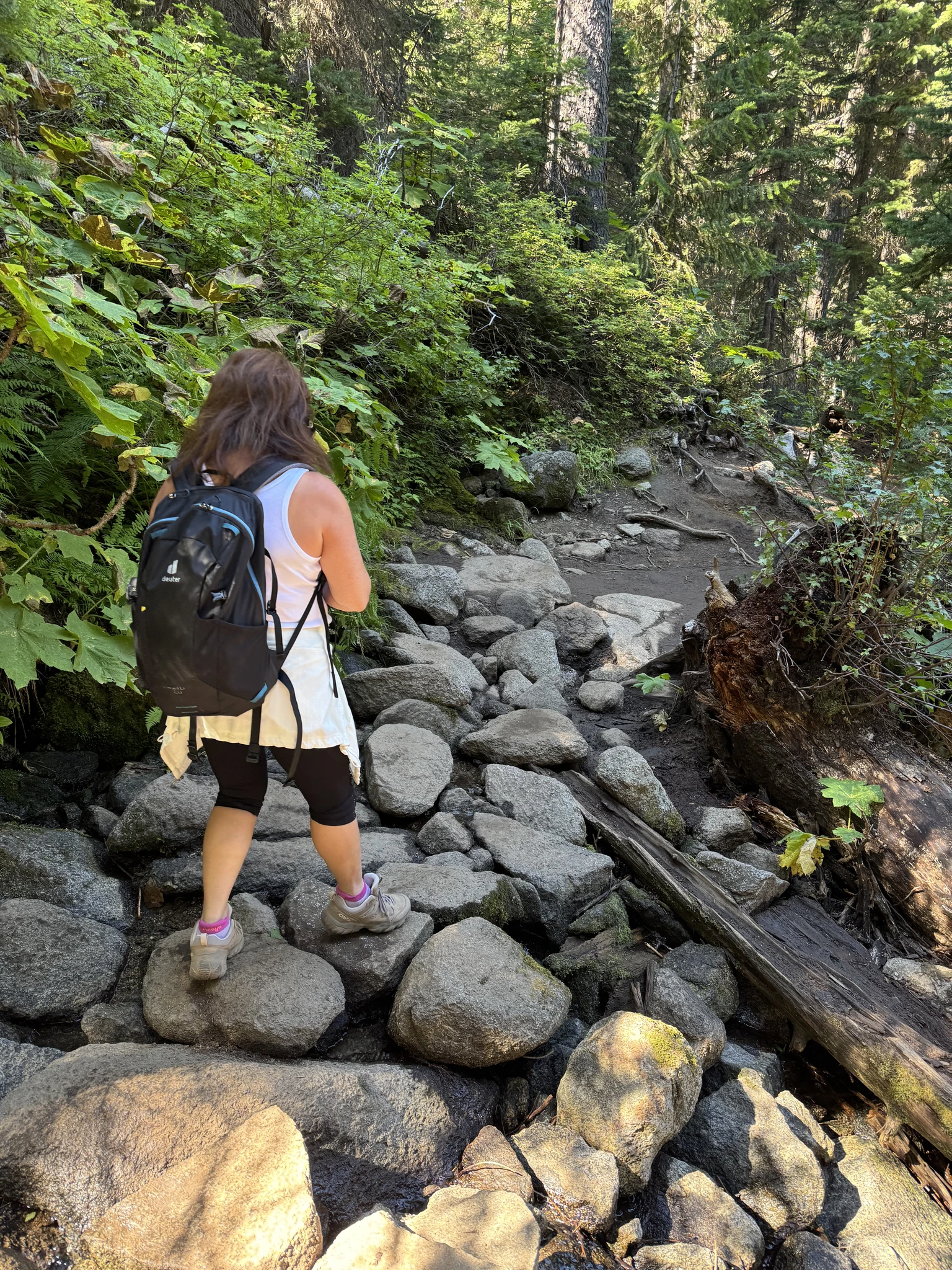
Going up again.
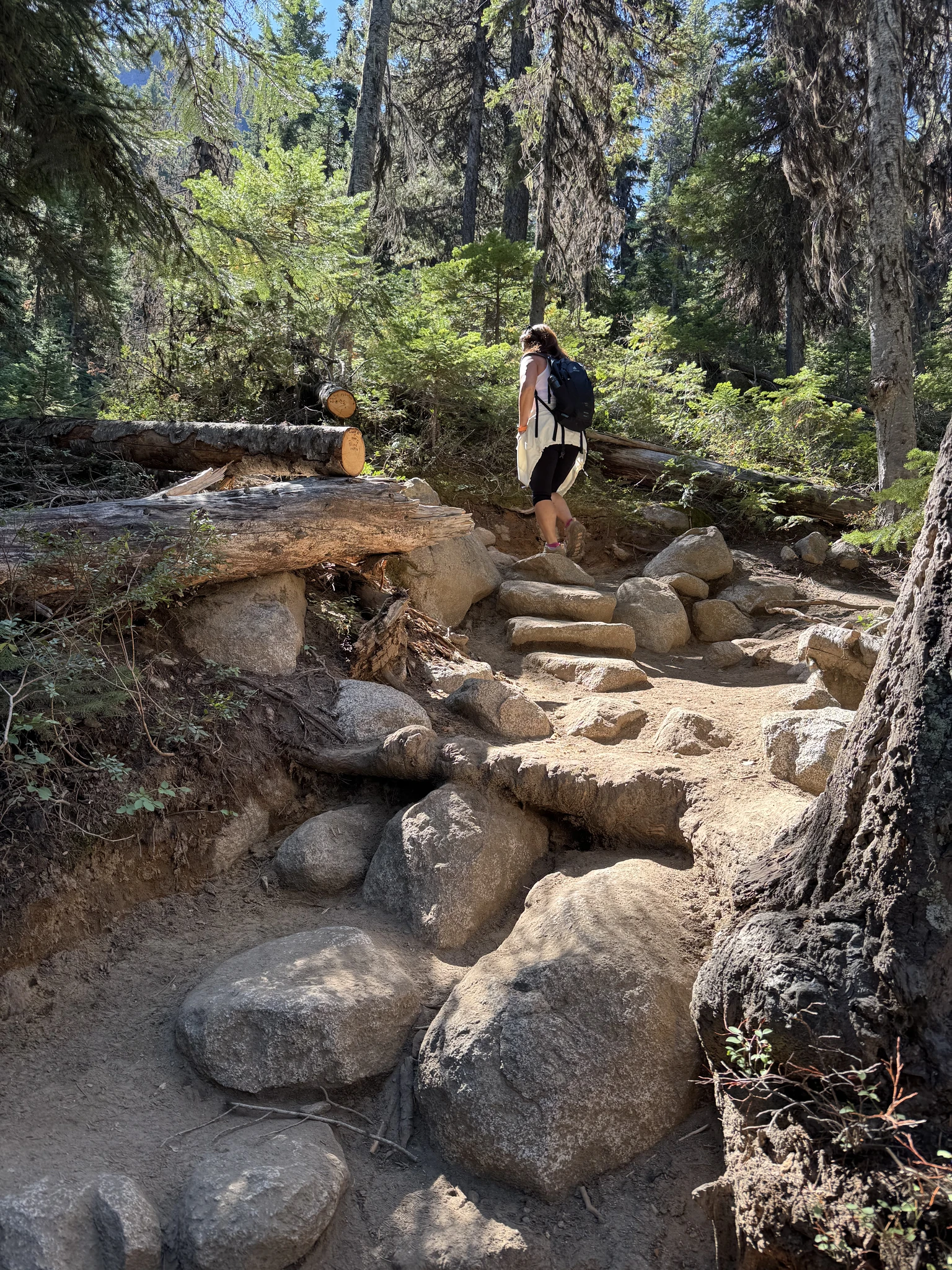
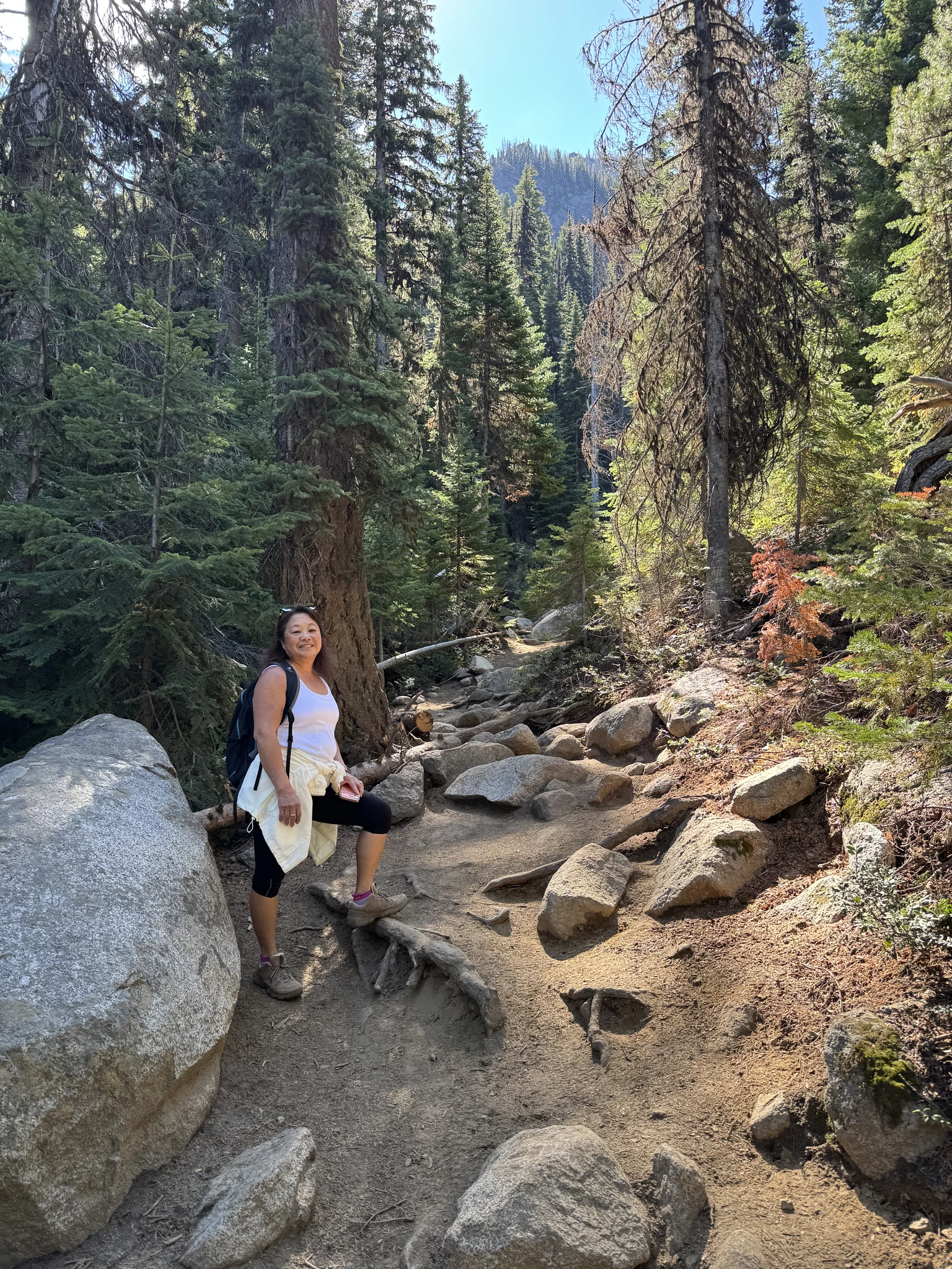
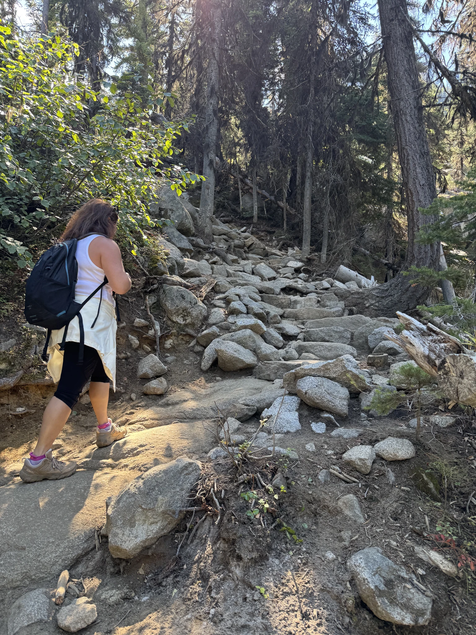
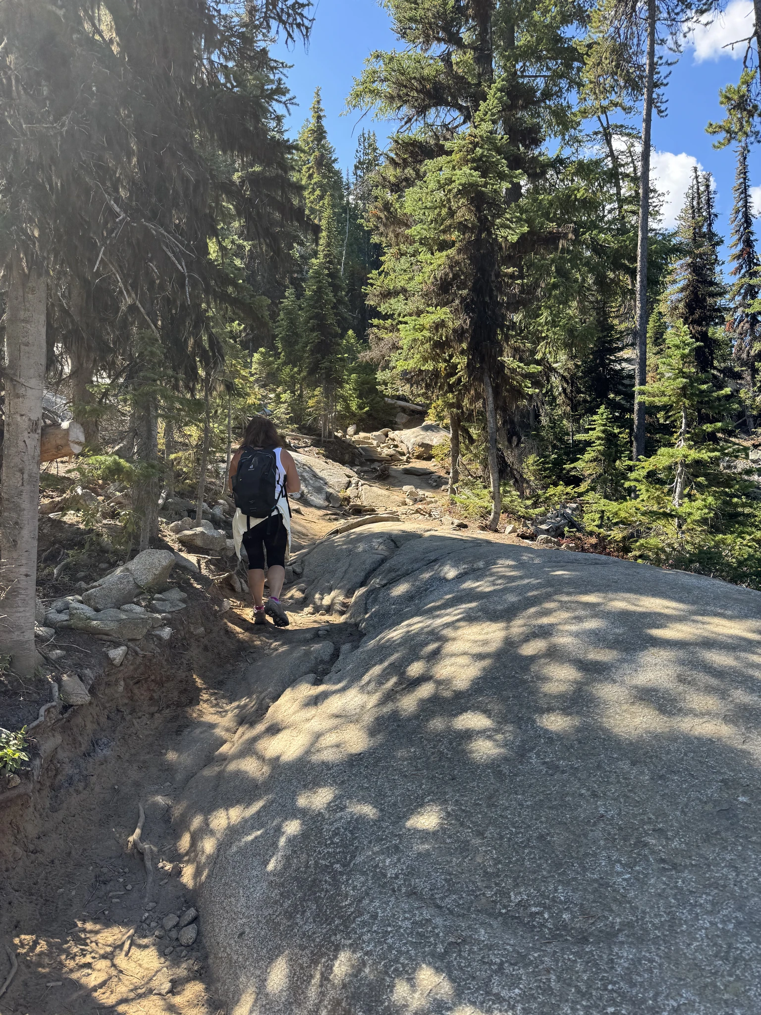
These large flat rocks are so neat to walk on.
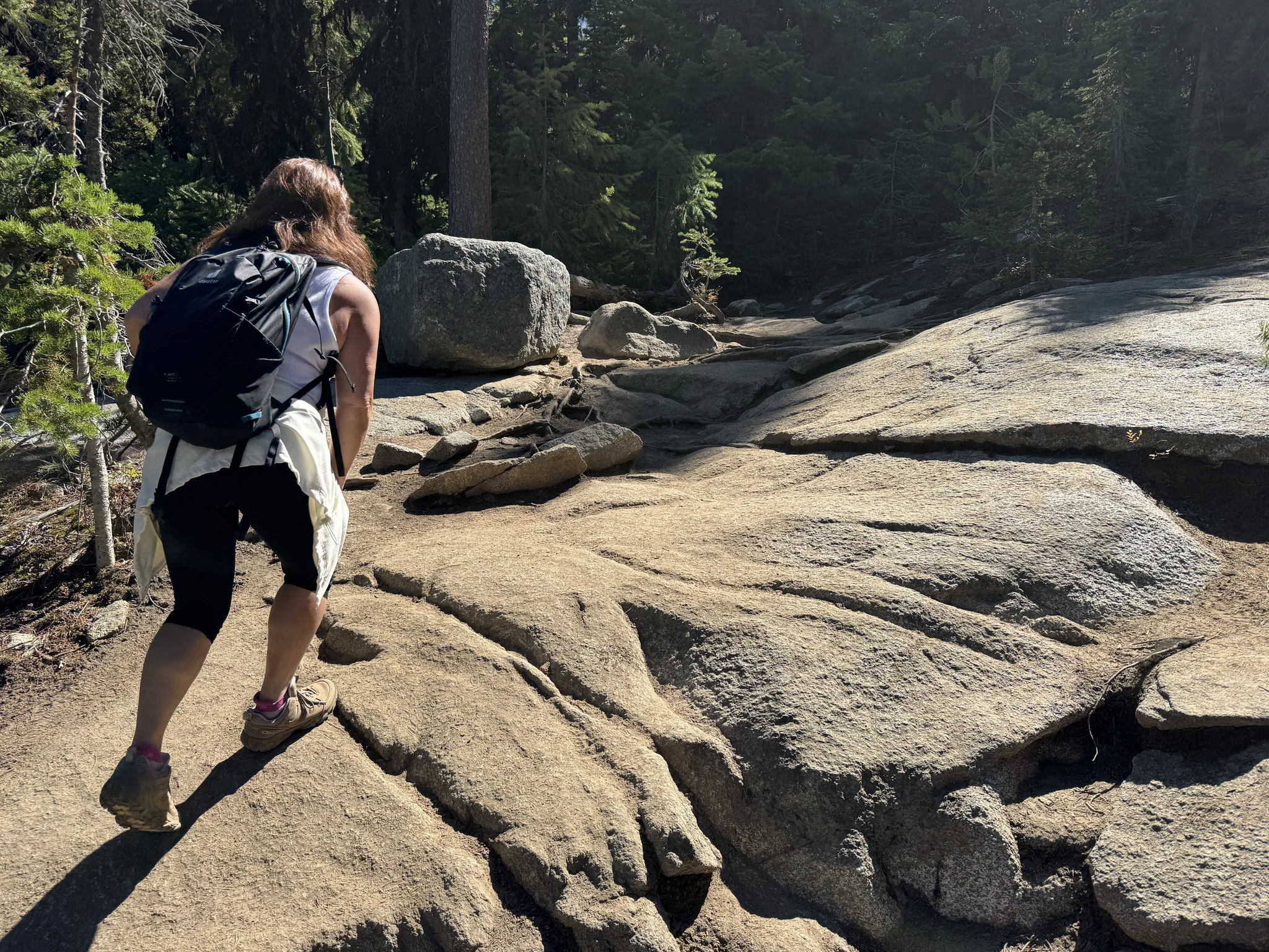
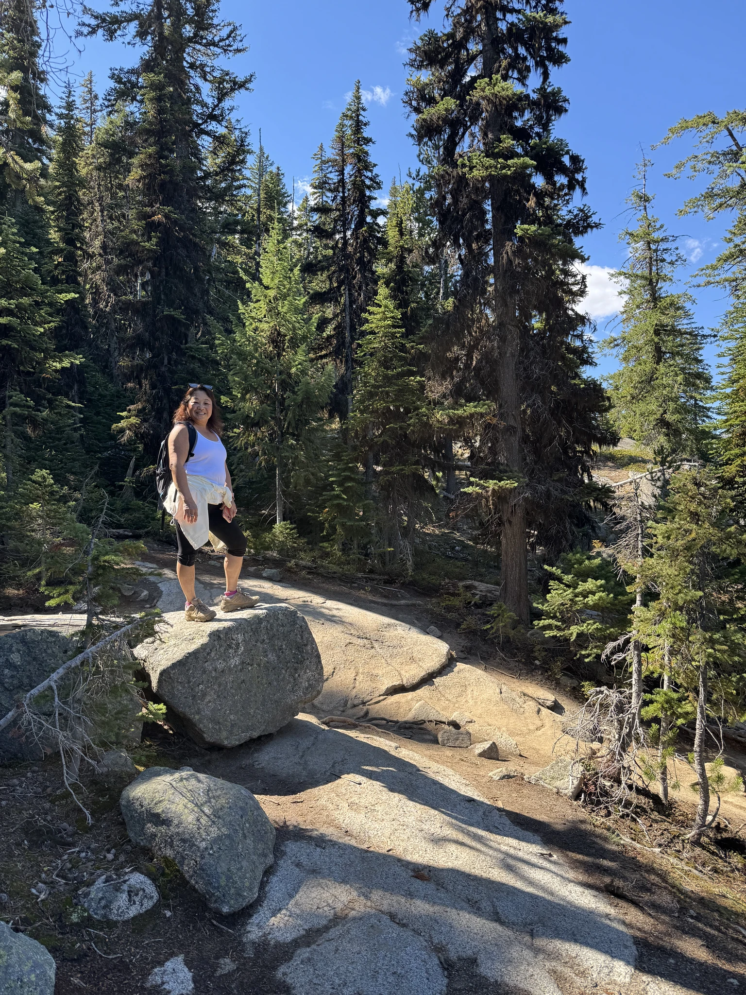
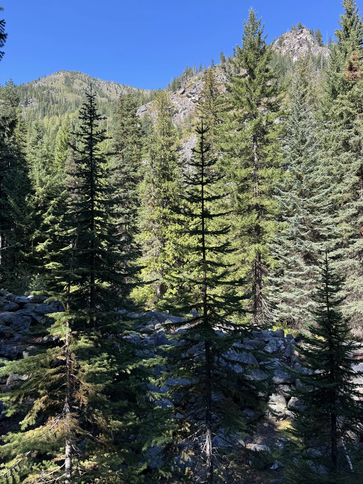
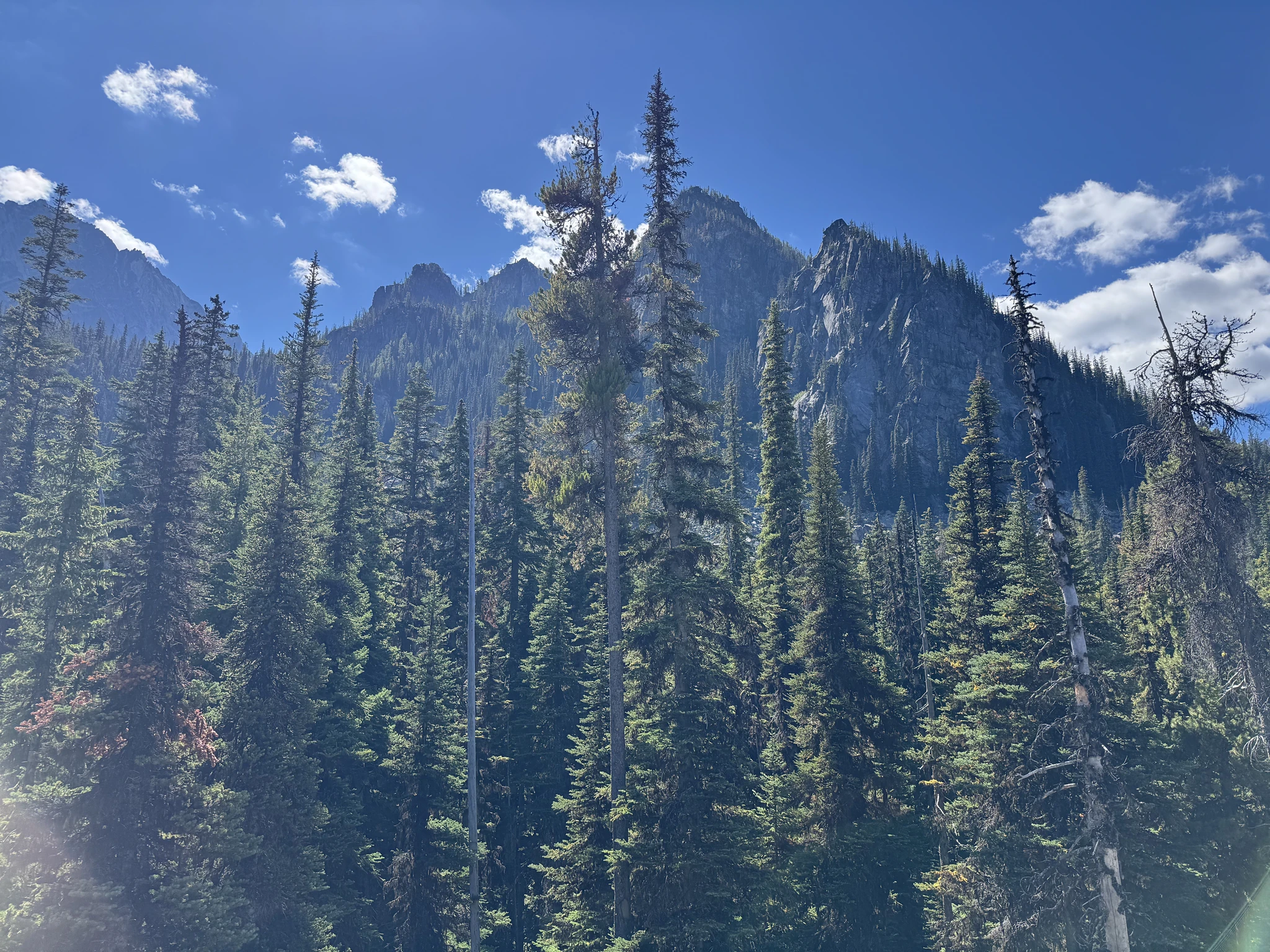
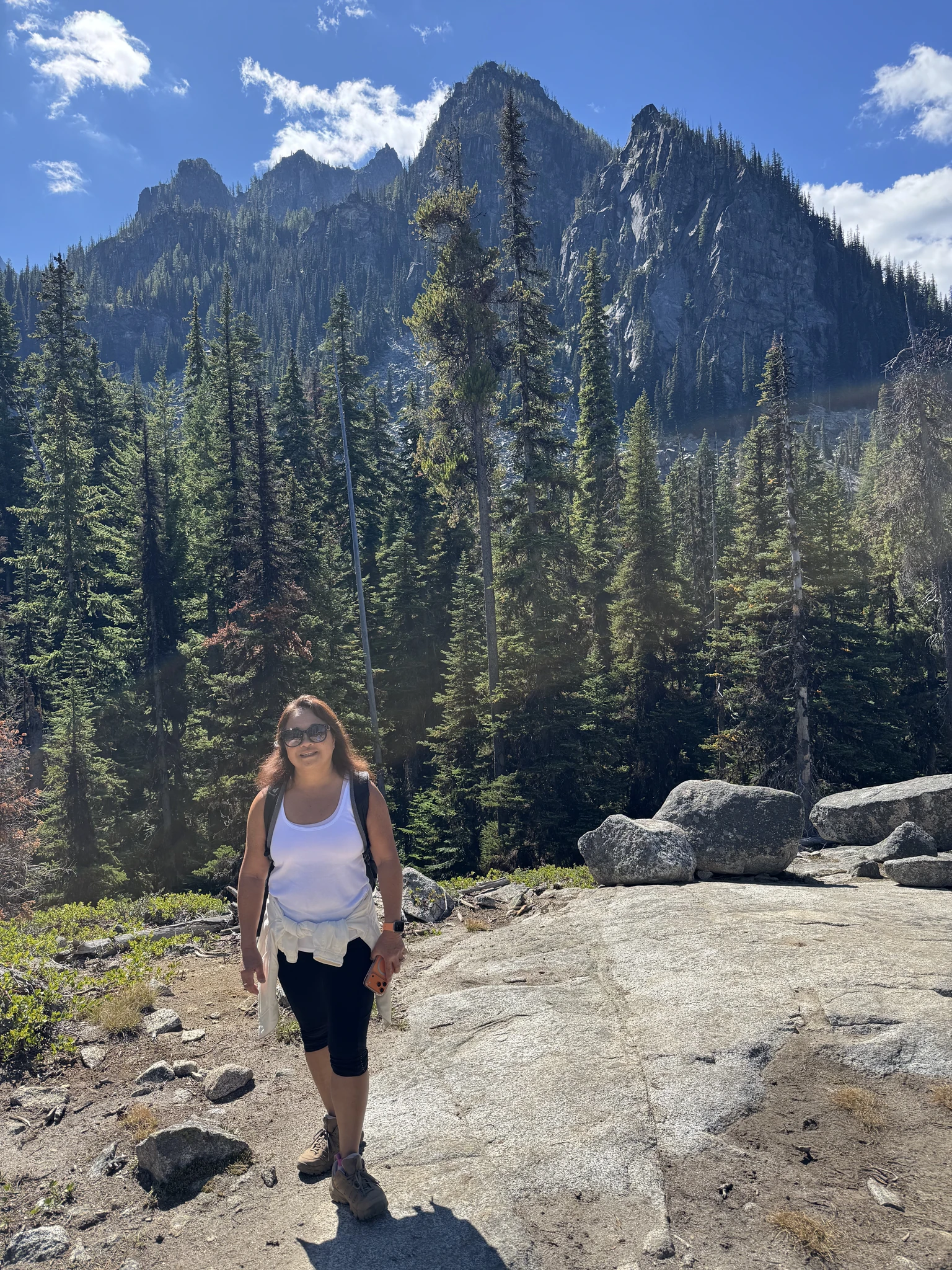
Another open area with scenic views of the surrounding mountains.
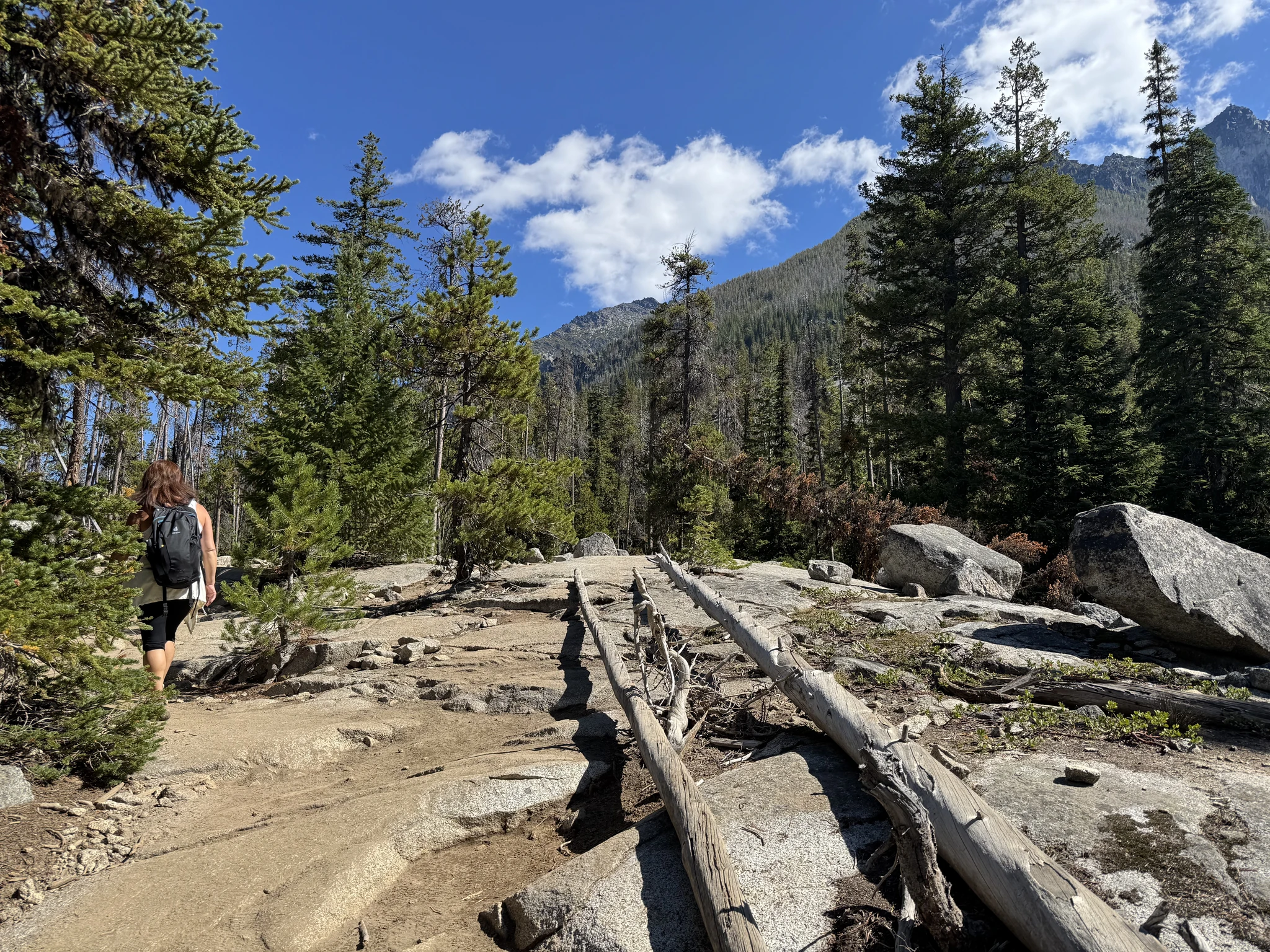
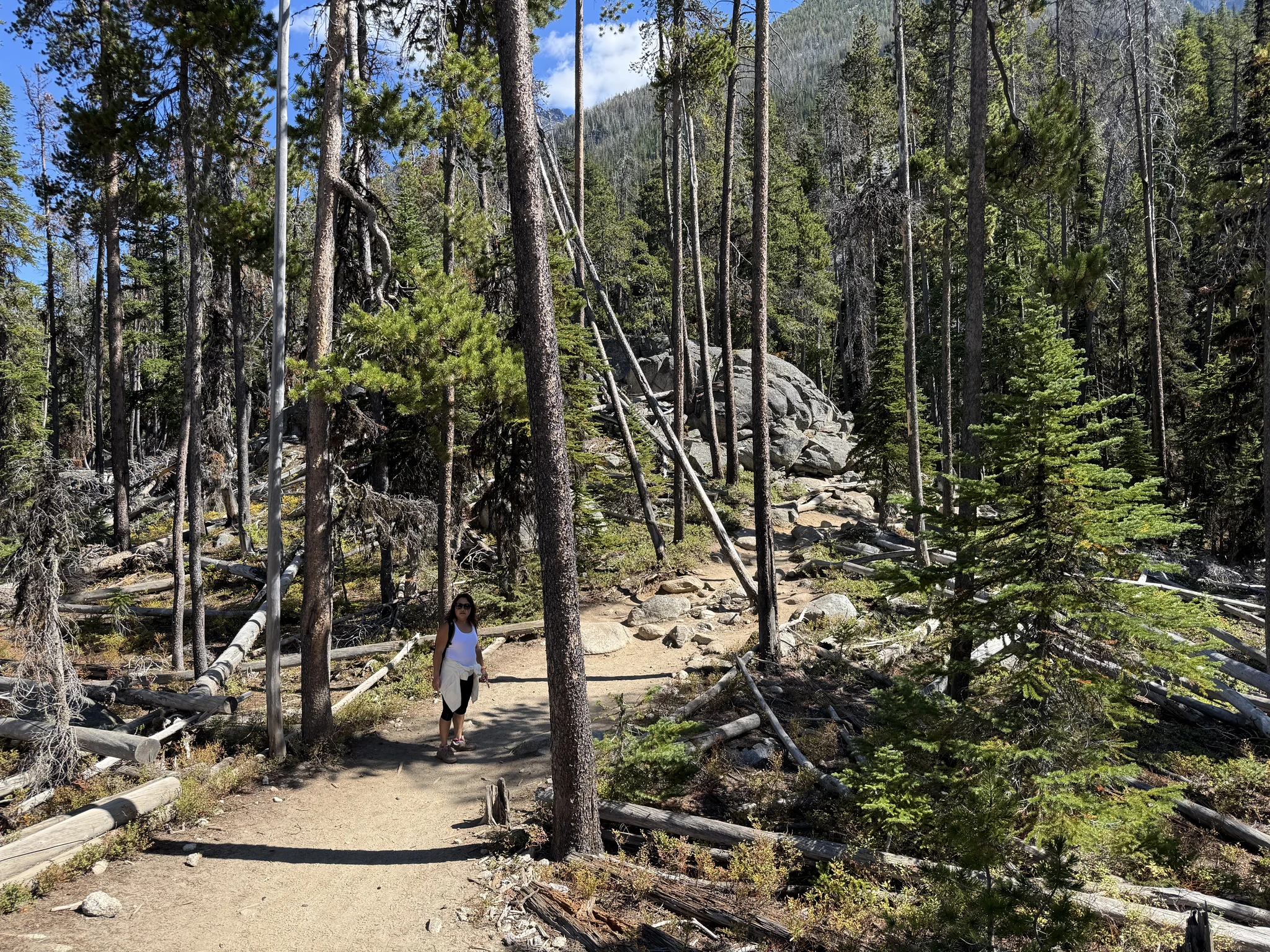
The climb is getting steeper.
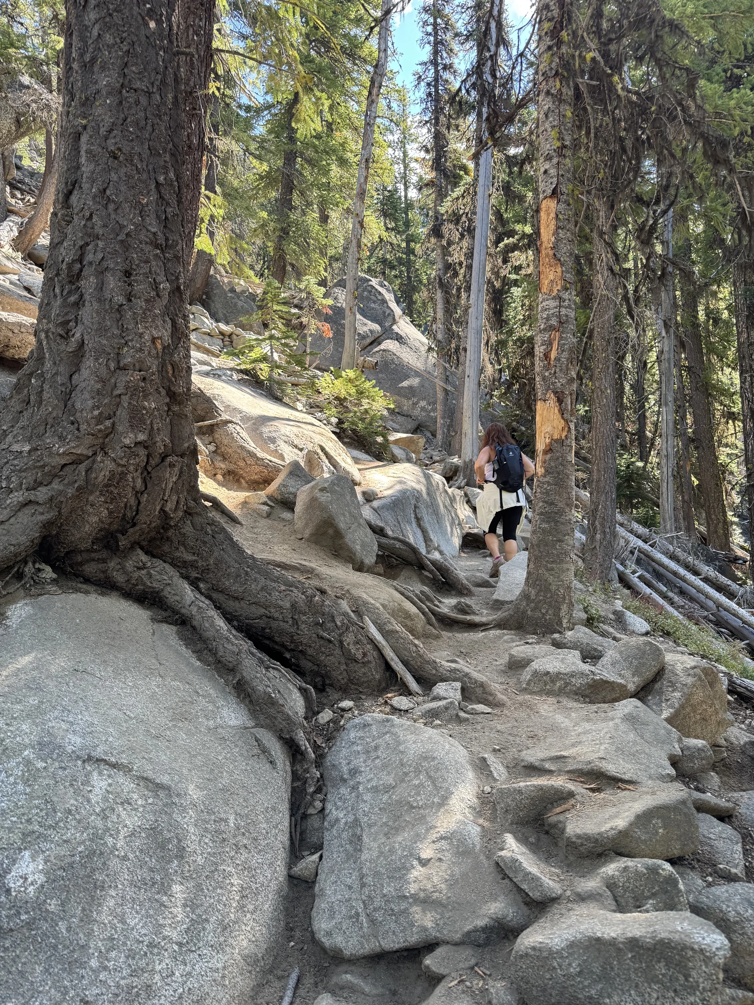
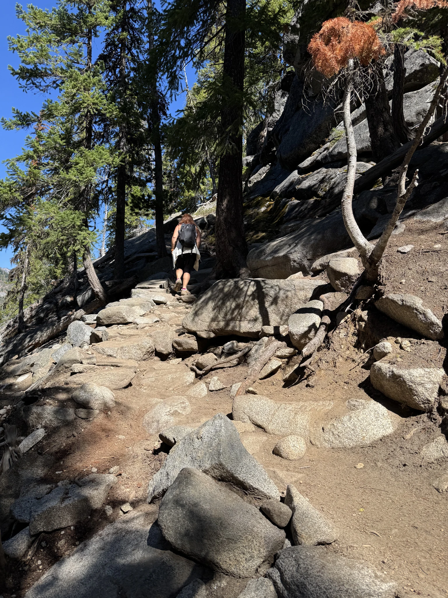
We find a waterfall just slightly off trail and decide to check it out.
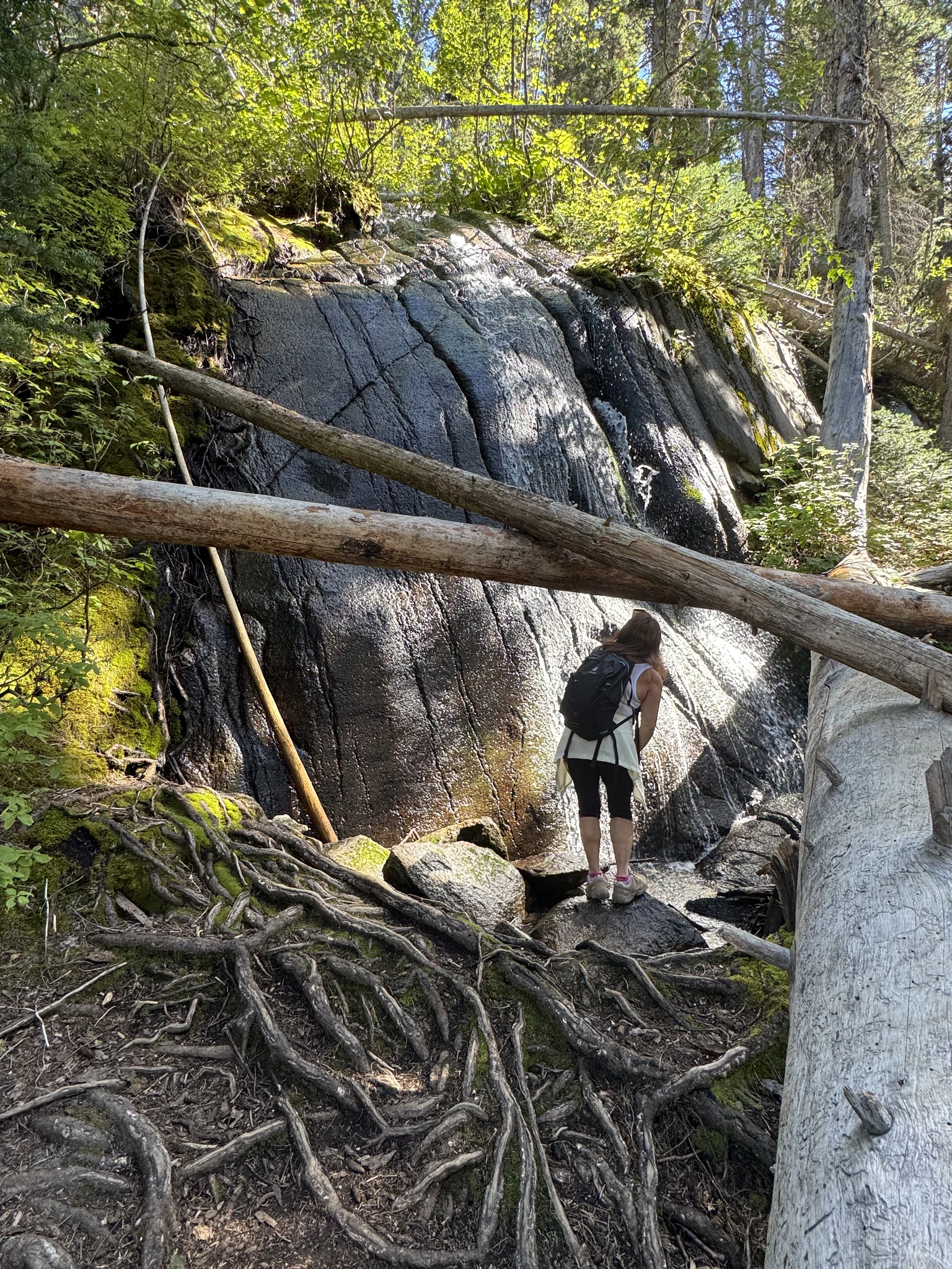
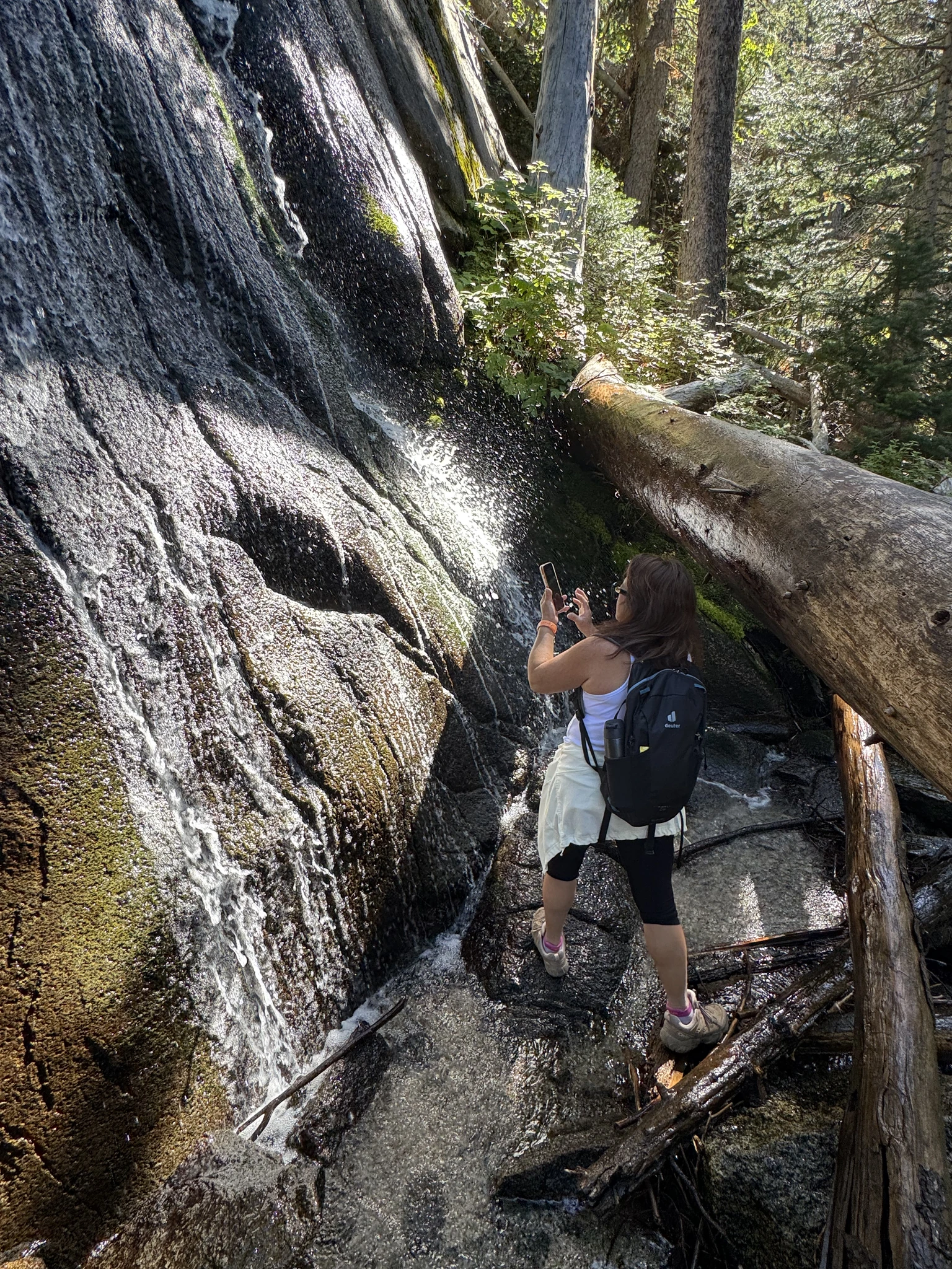
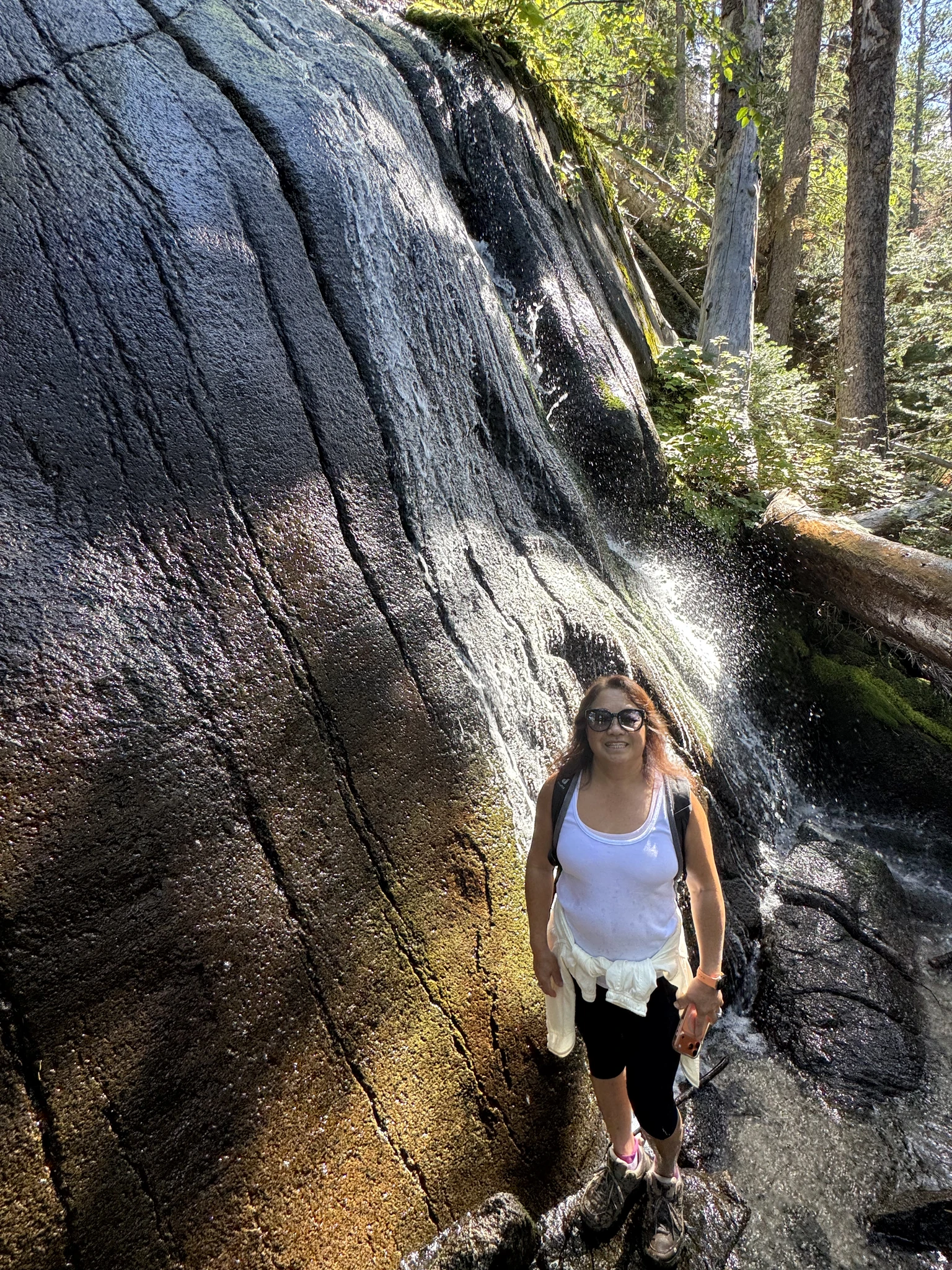
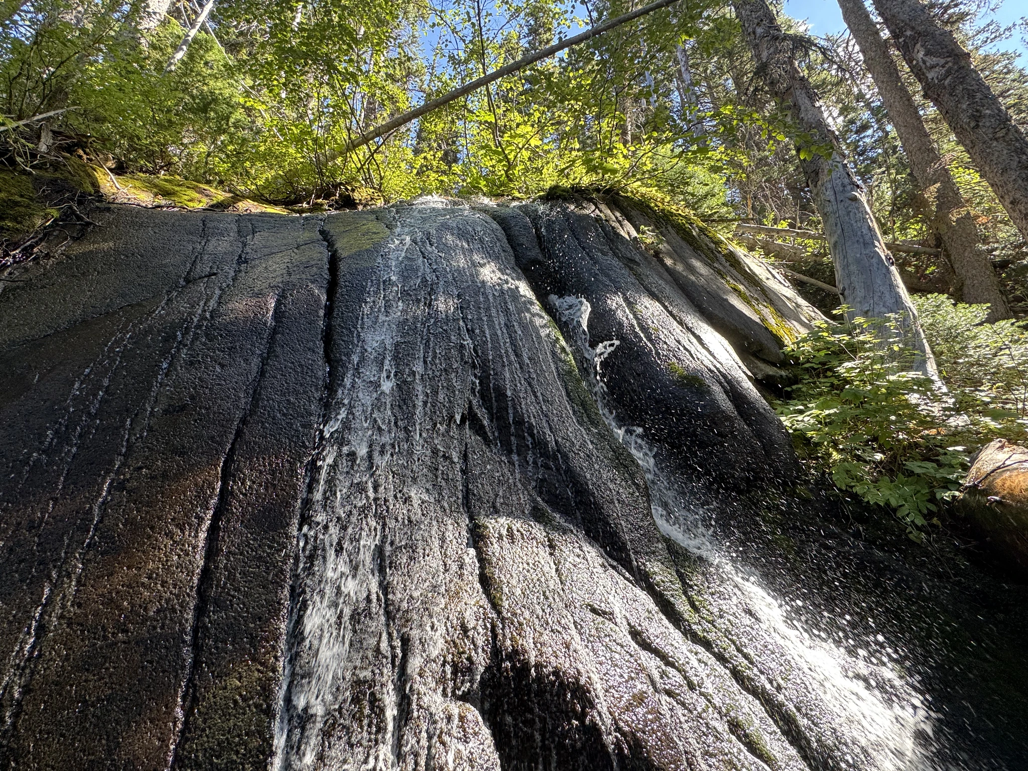
Continuing up. Other hikers are telling us we are close to the lake.
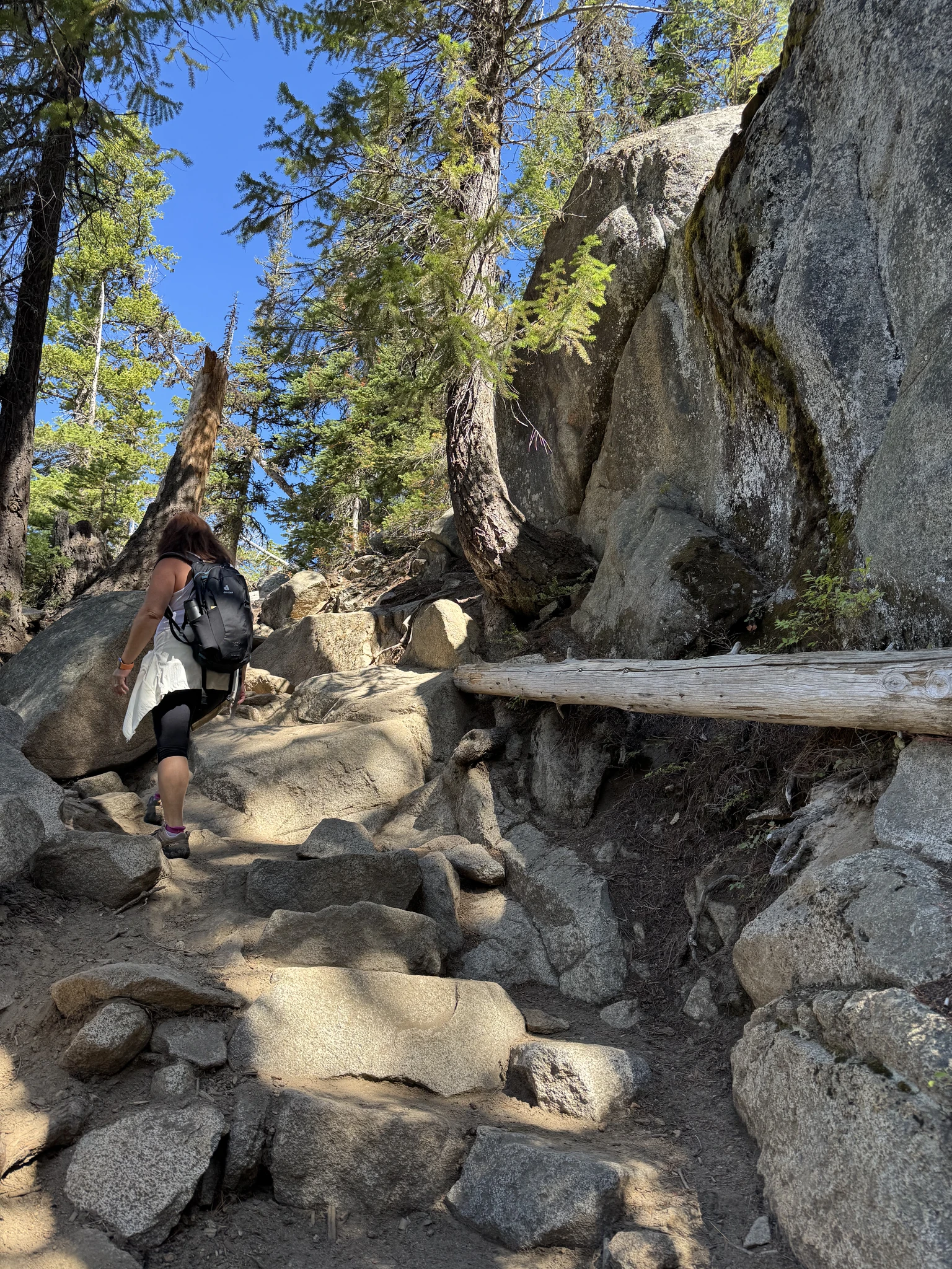
Spectacular views up here.
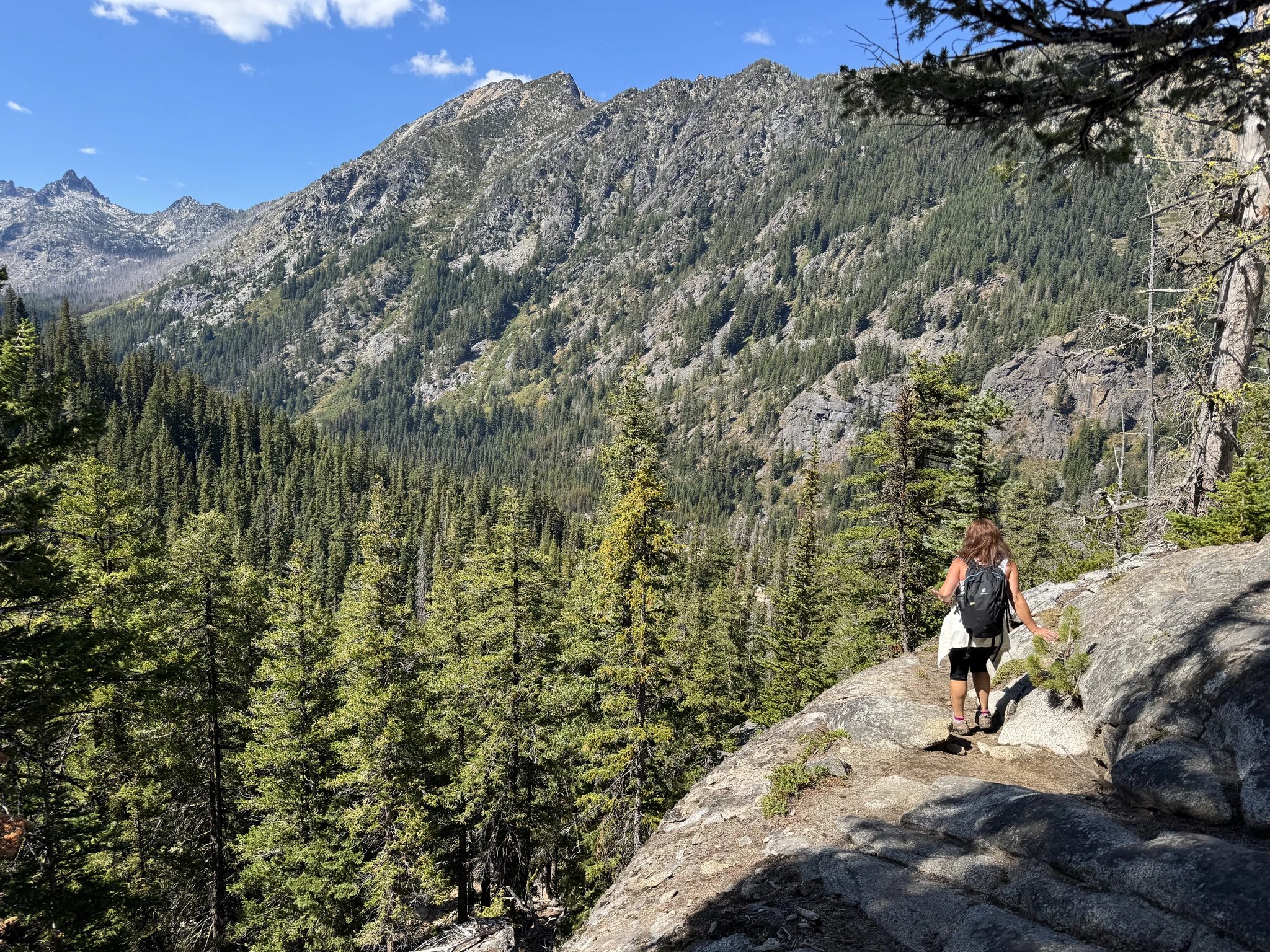
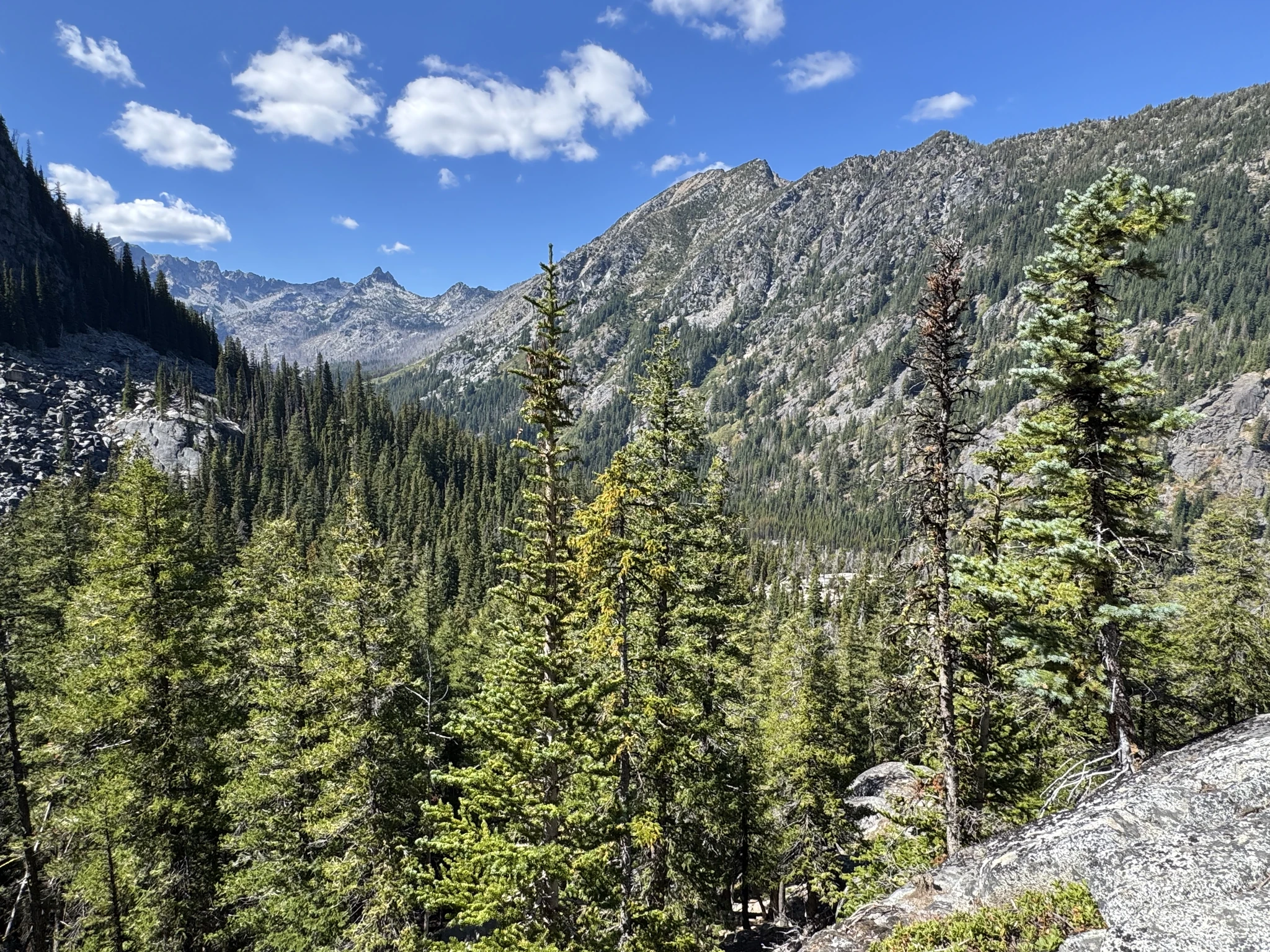
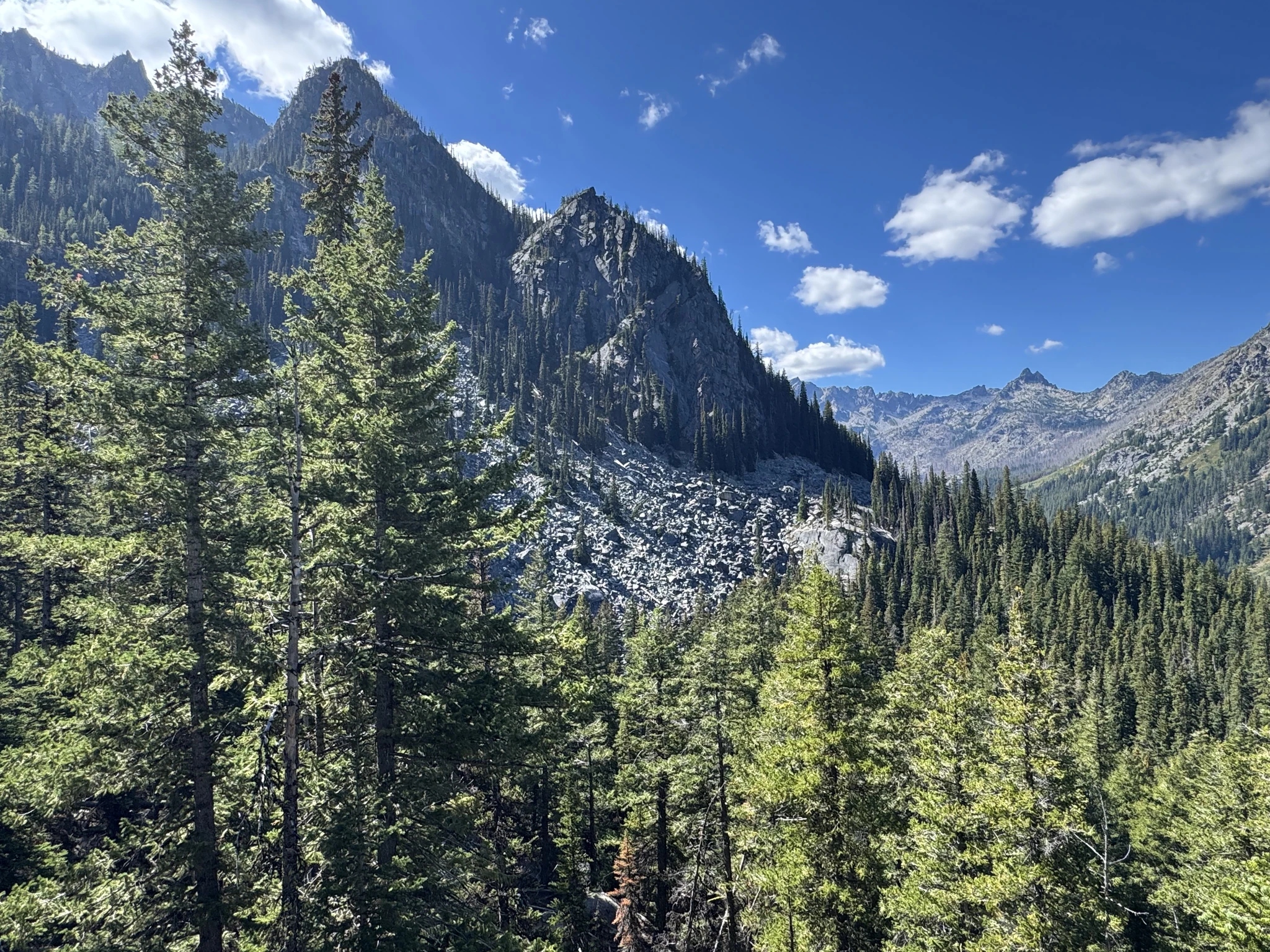
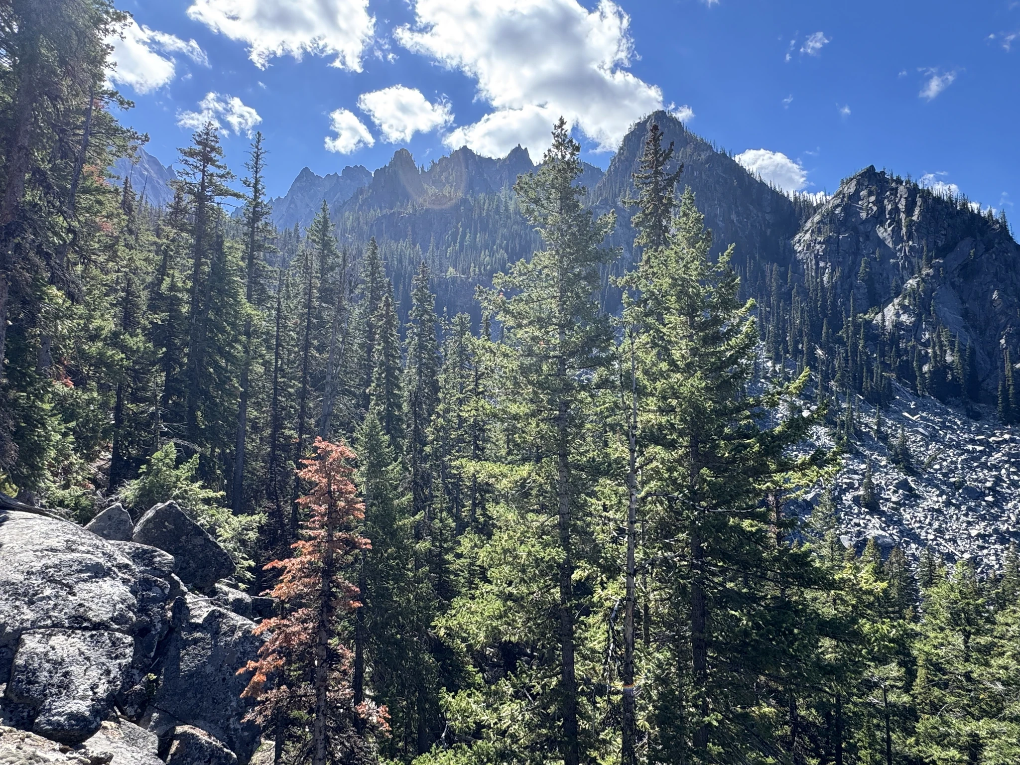
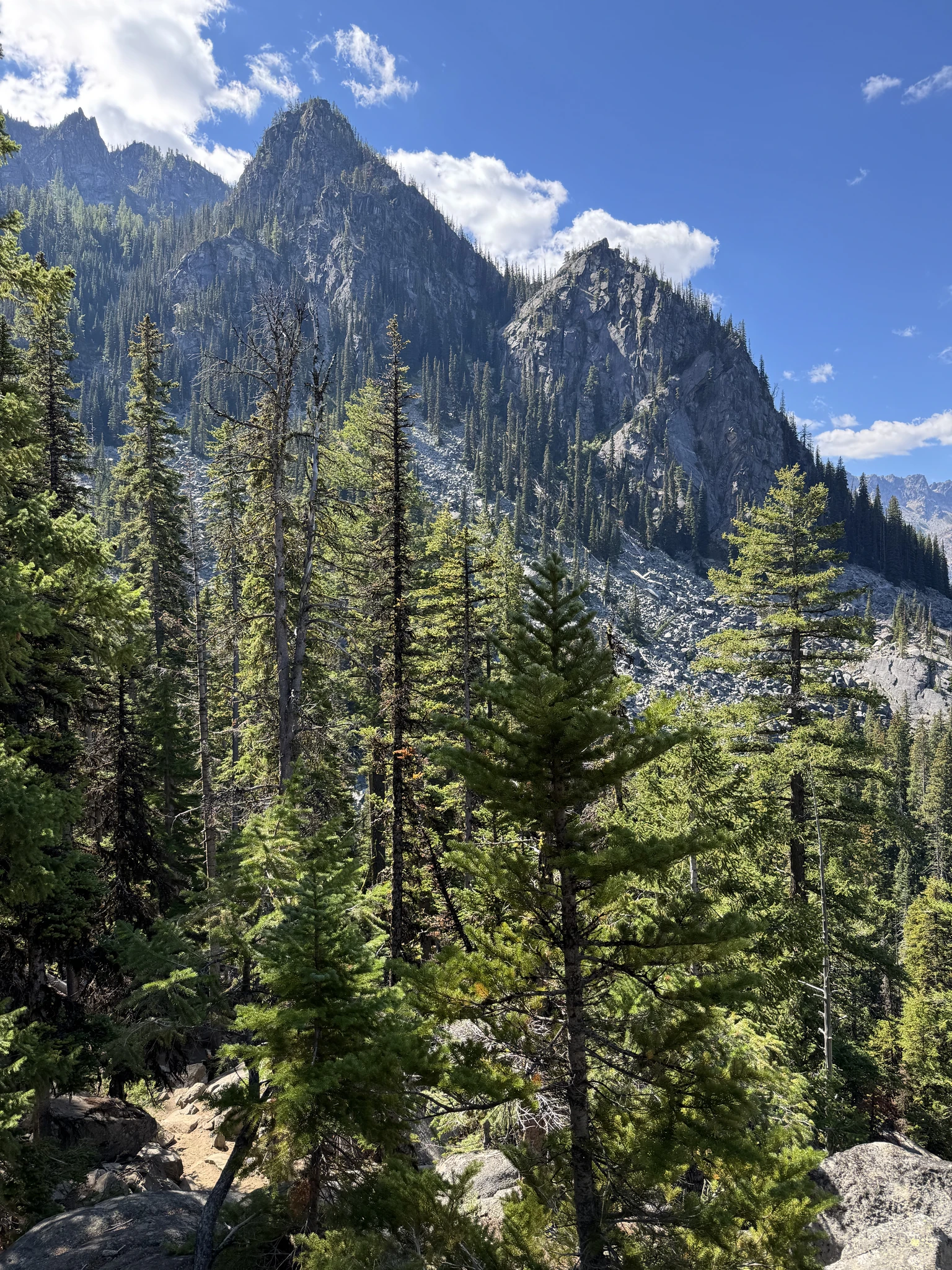
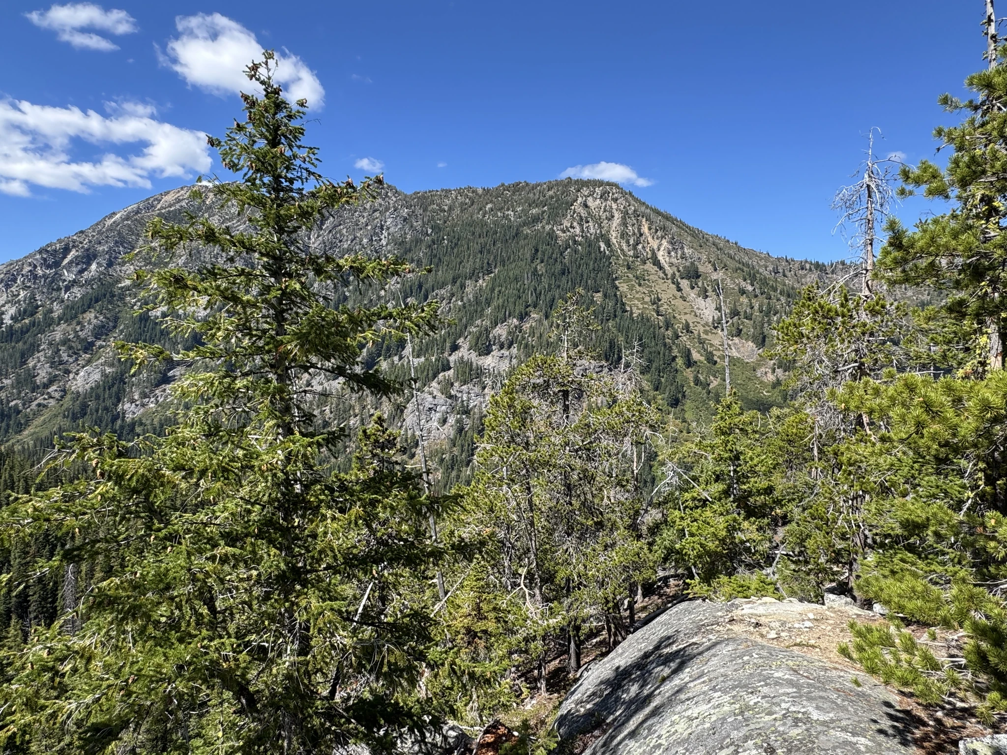
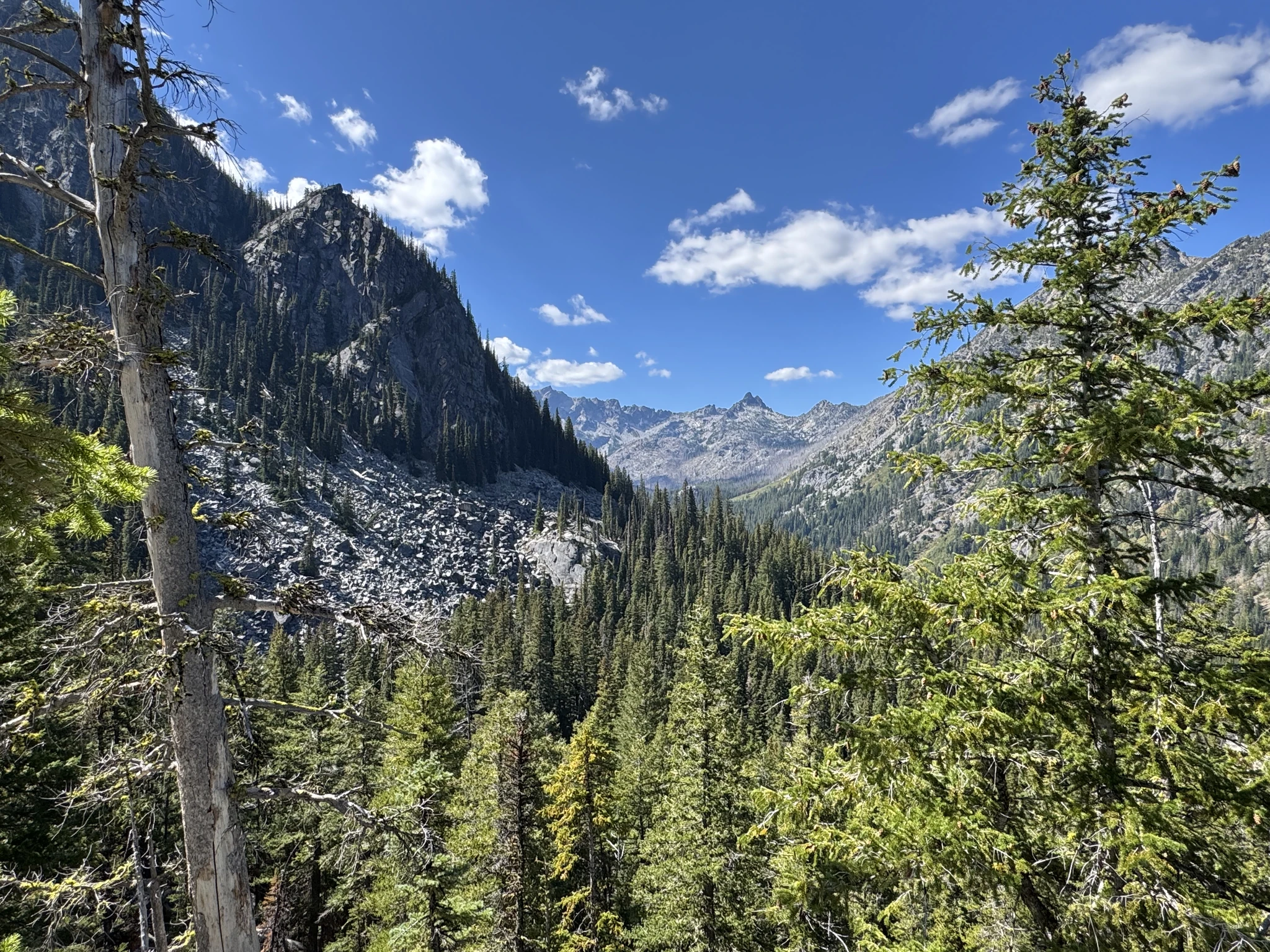
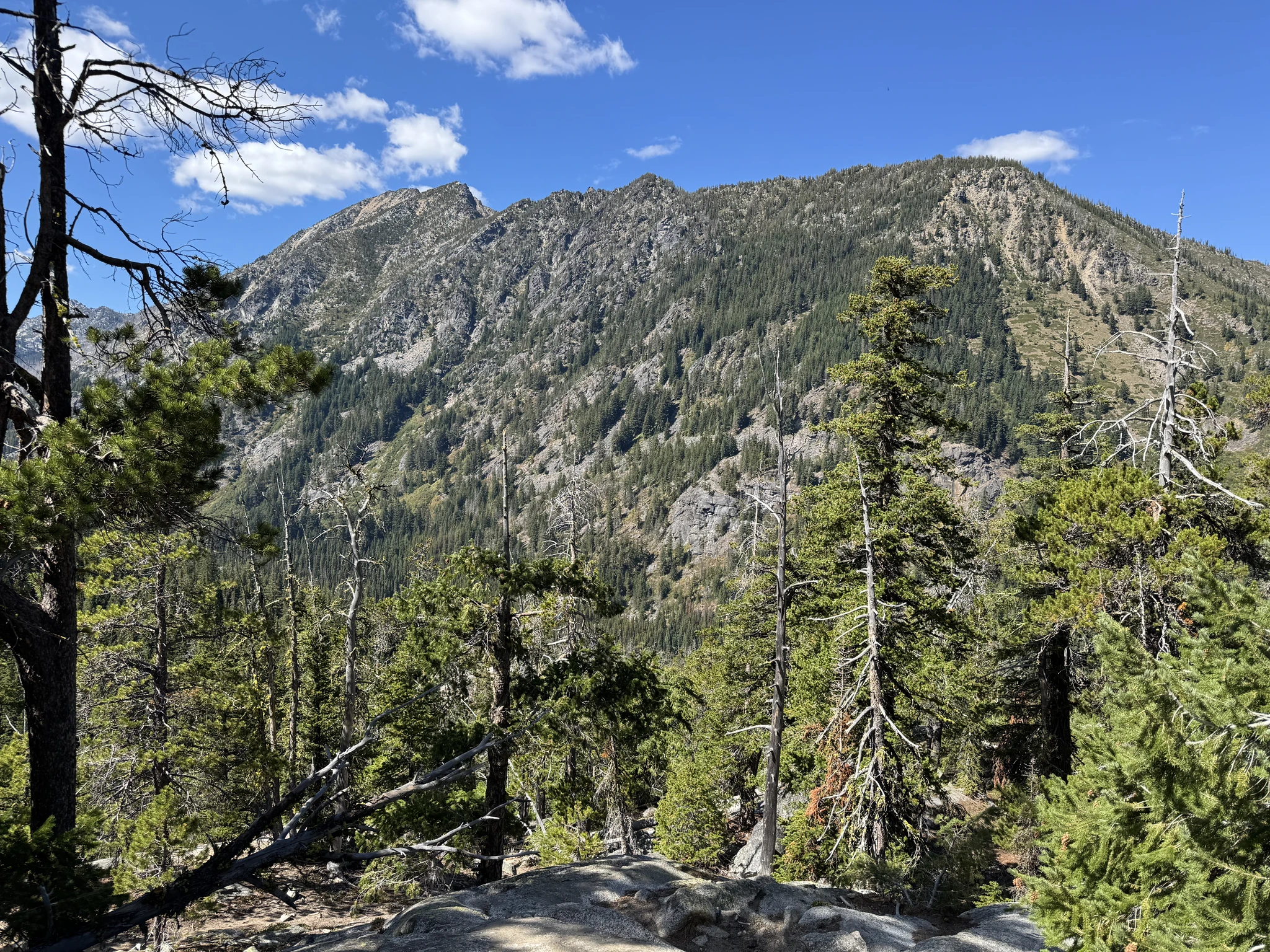
We aren’t done climbing yet.
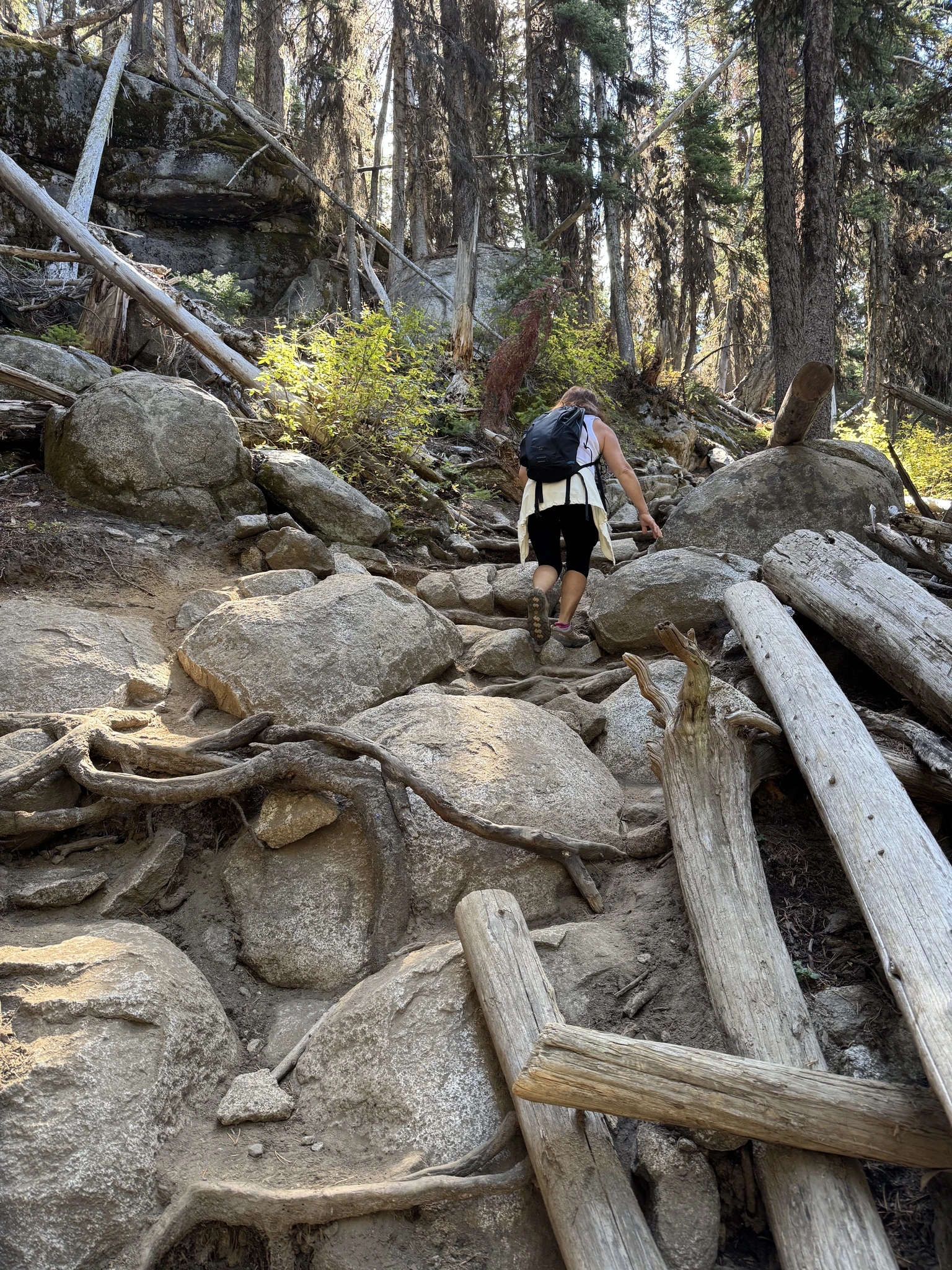
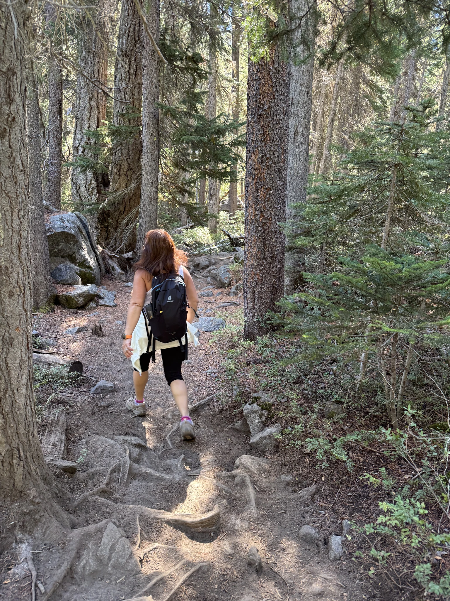
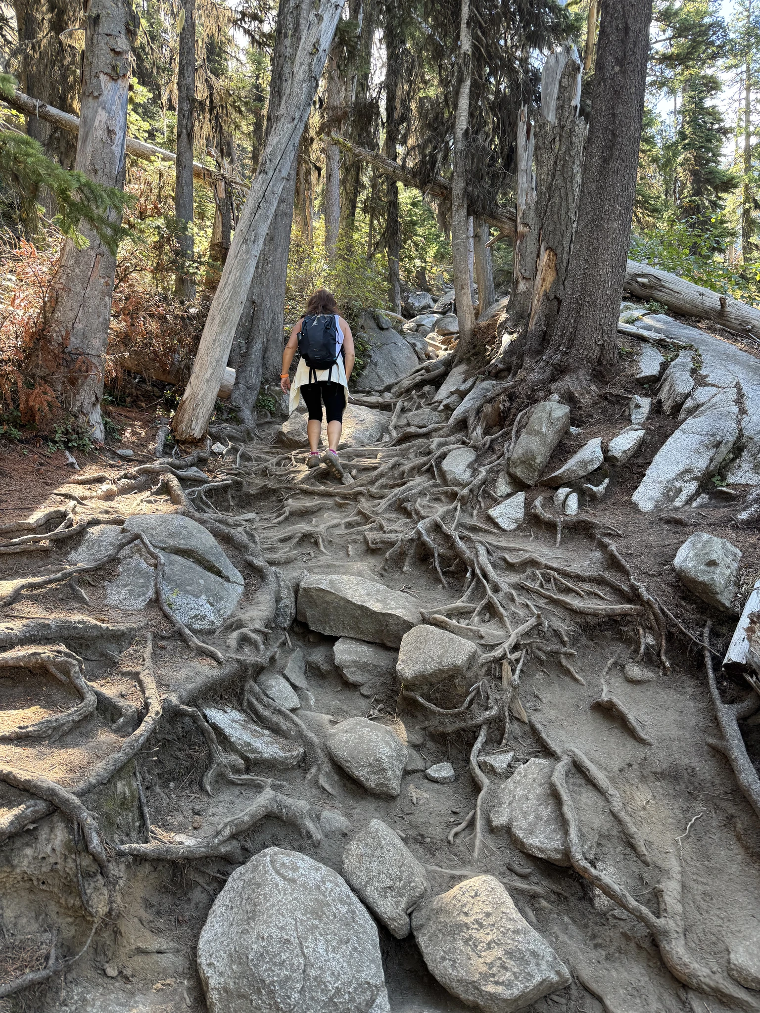
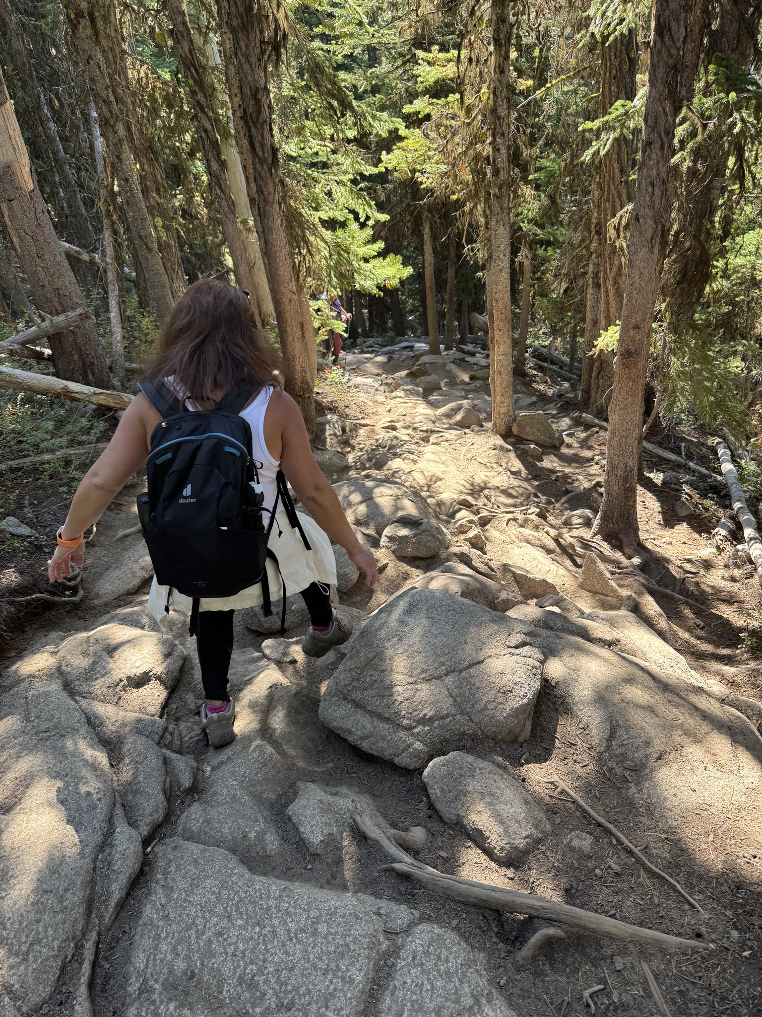
There are a lot of roots exposed on the trail. We will need to be careful of course on the way back so we don’t trip over them.
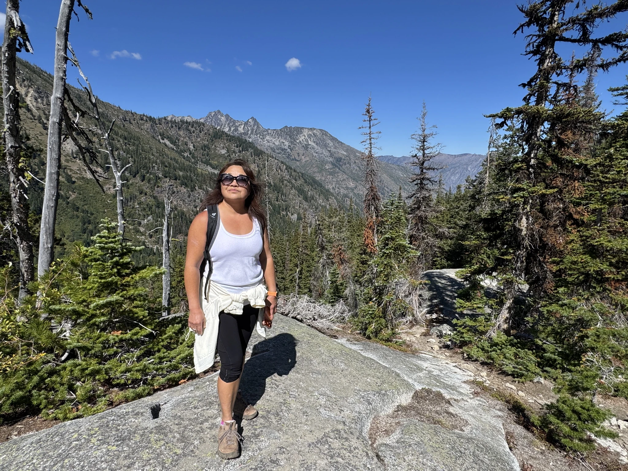
We are at another clearing and take pictures.
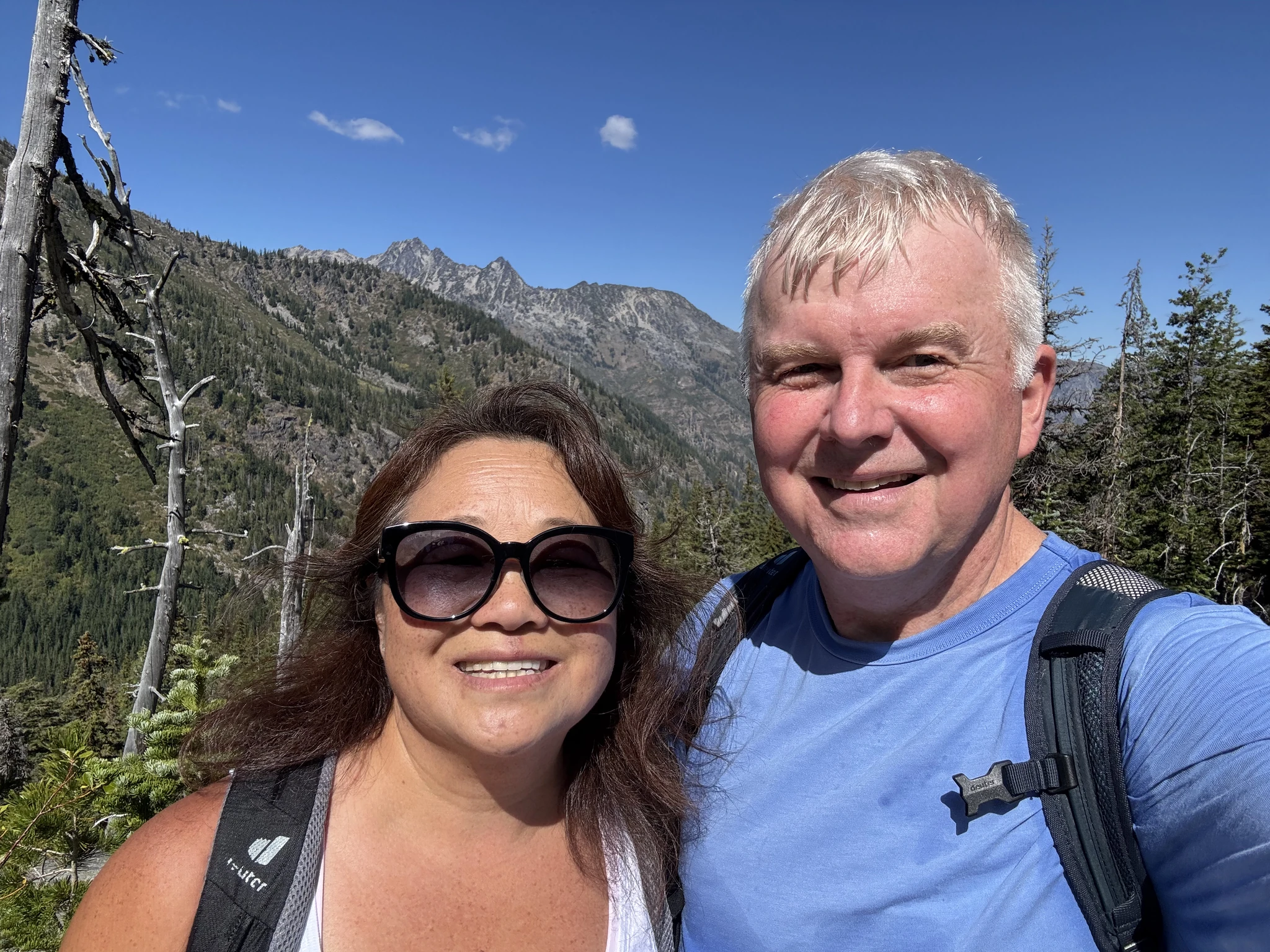
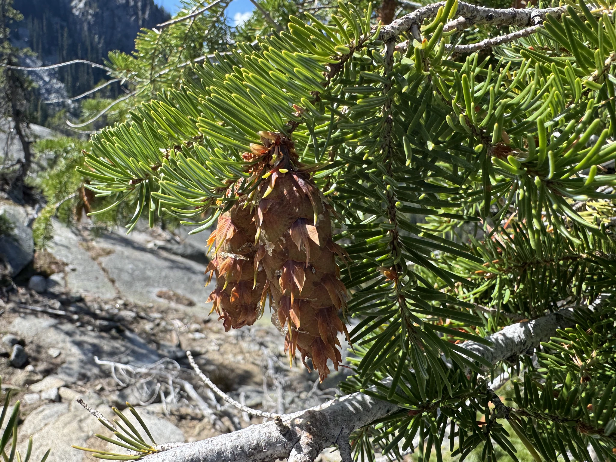
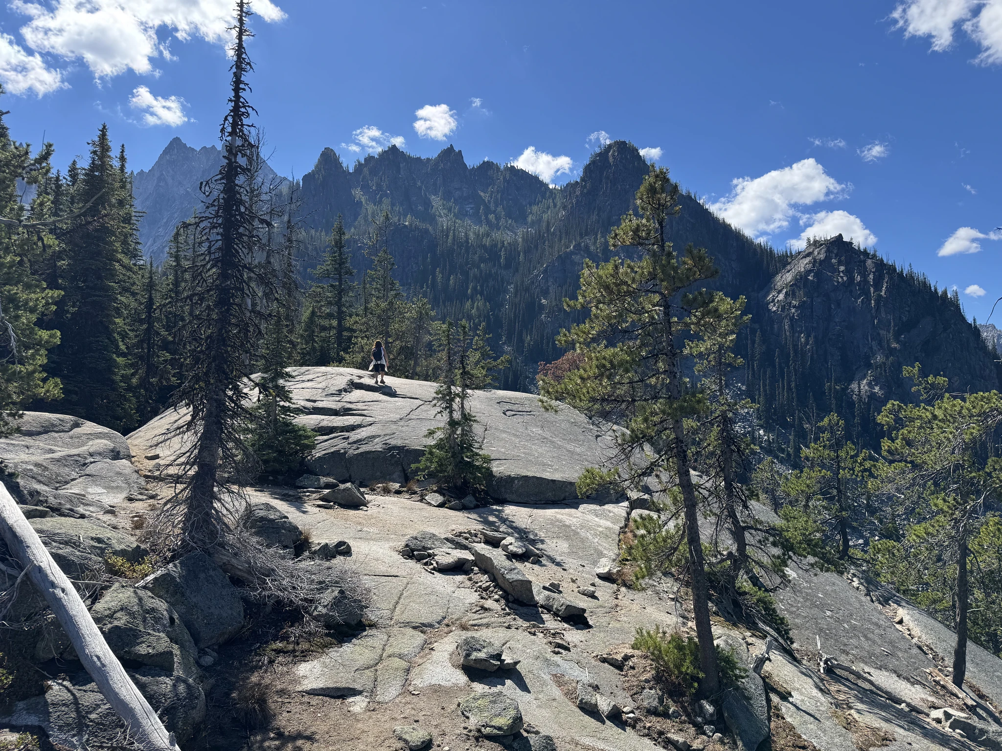
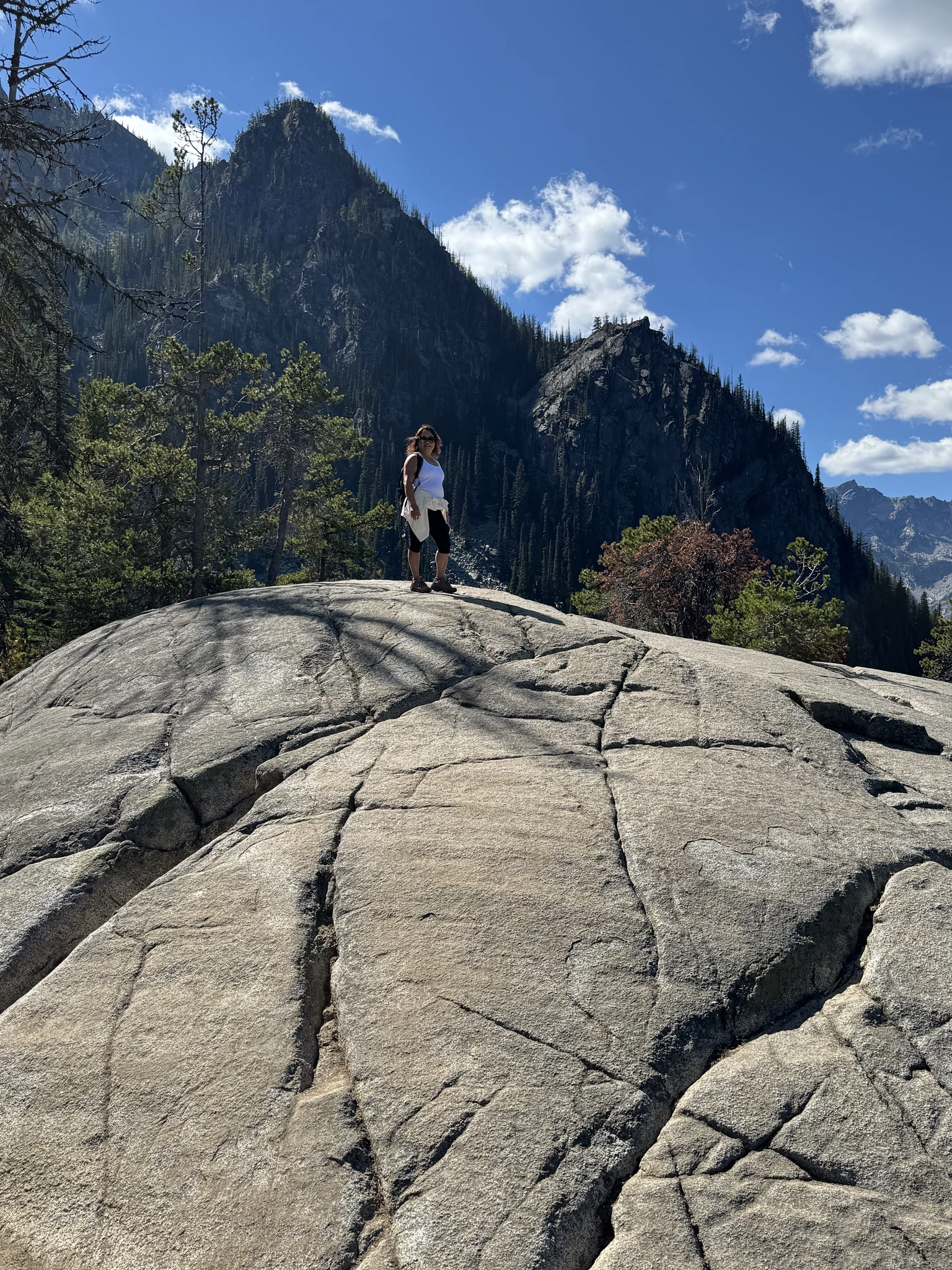
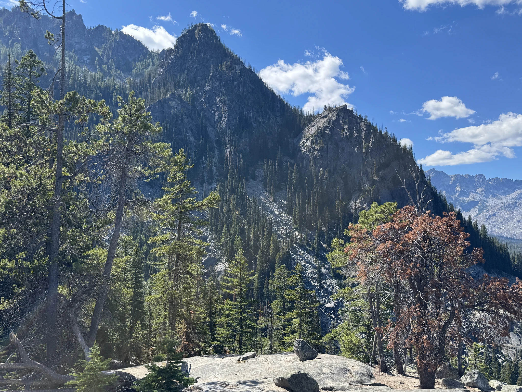
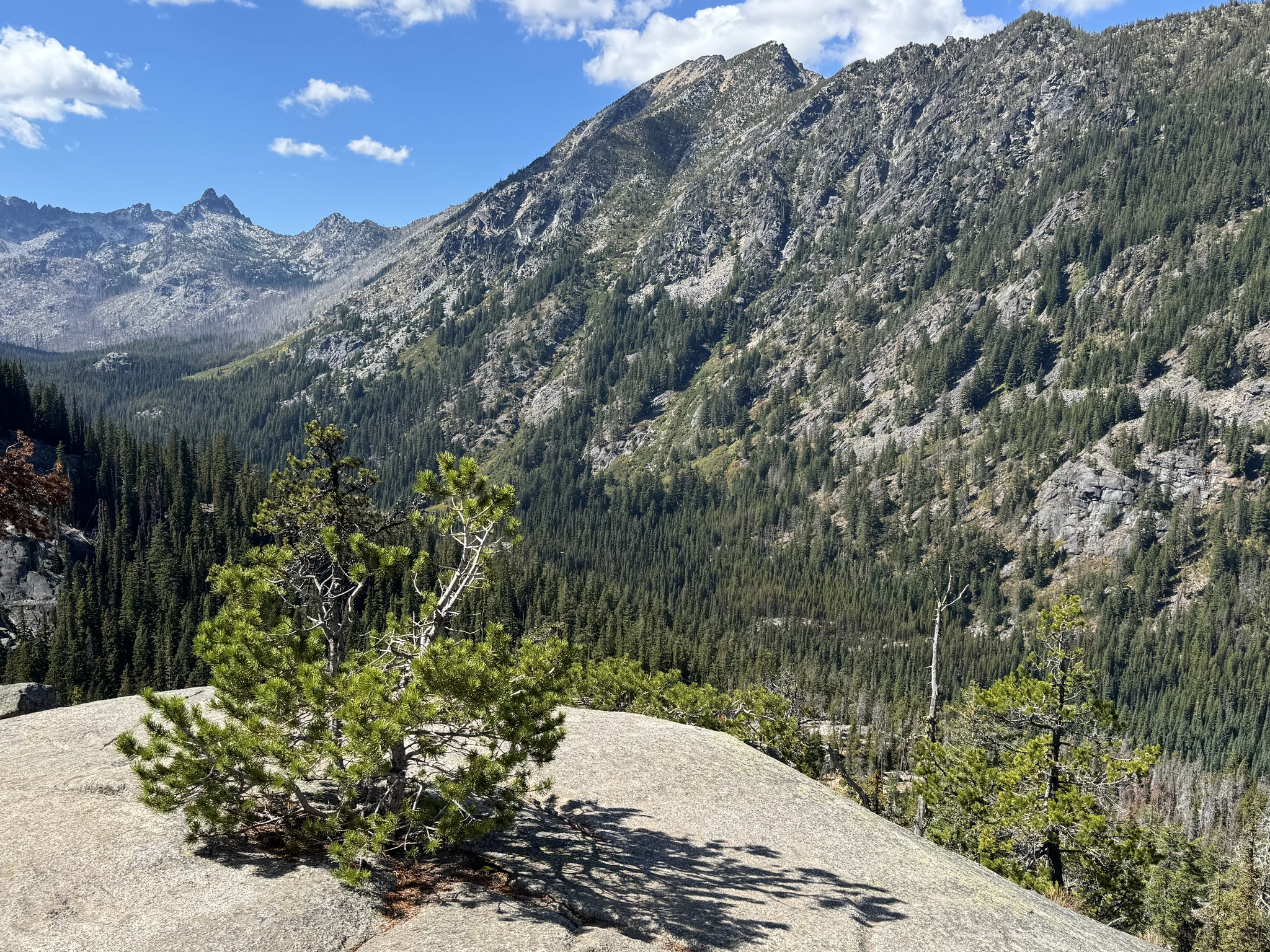
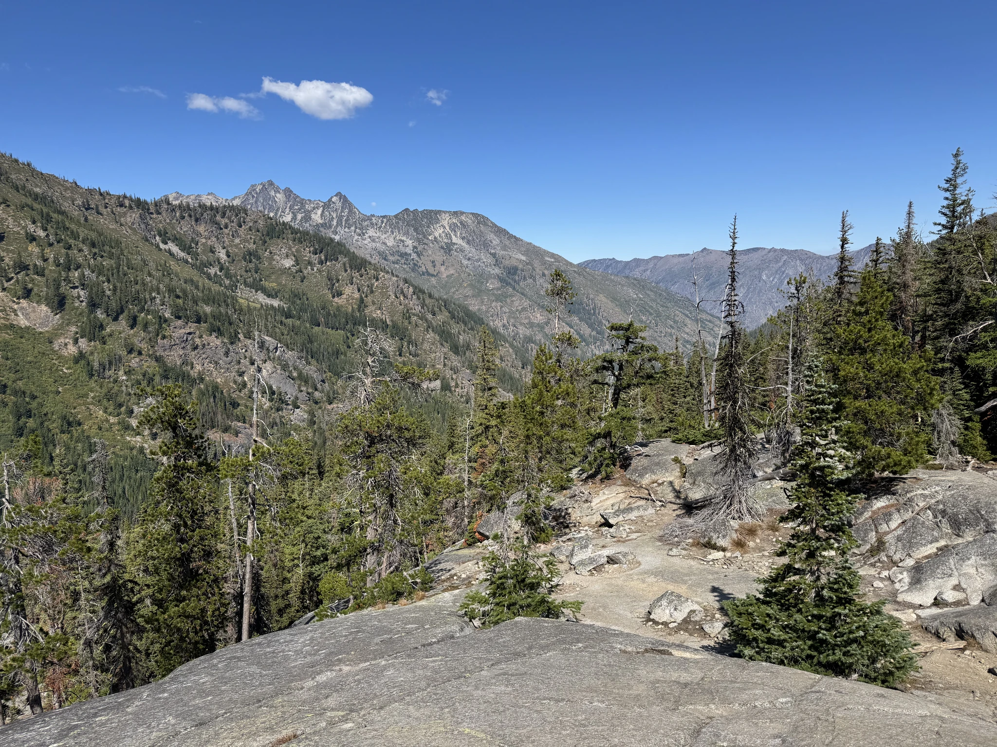
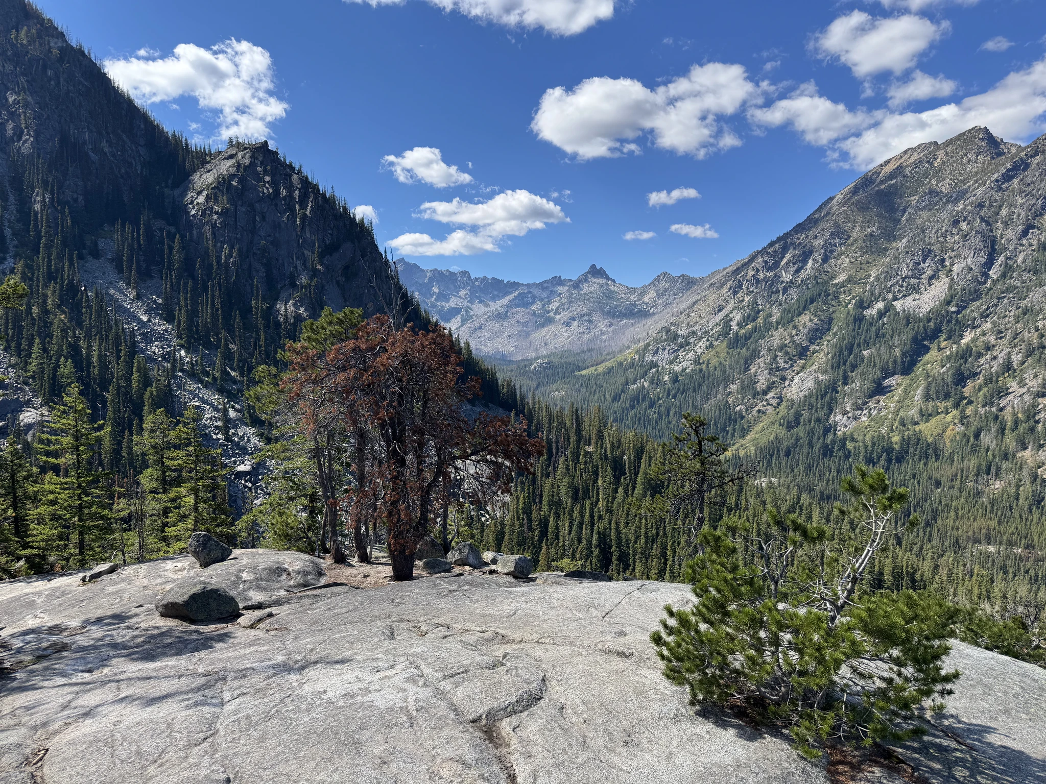
Continuing the climb.
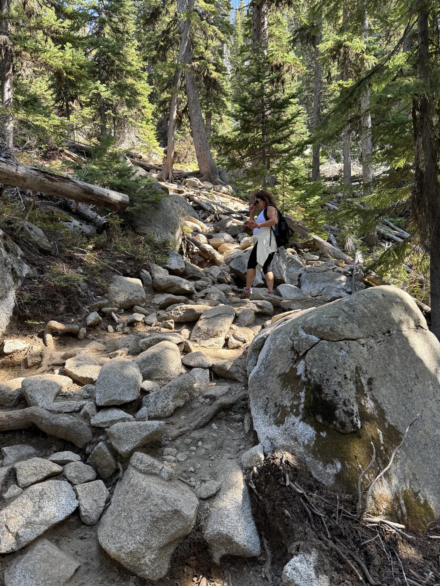
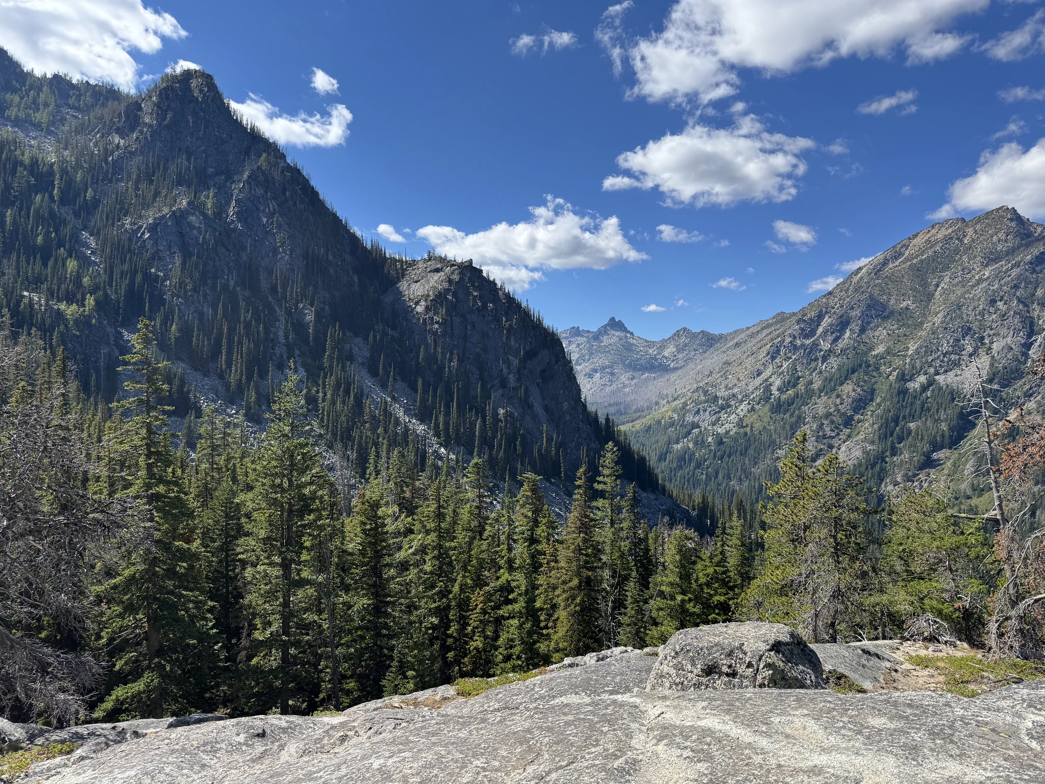
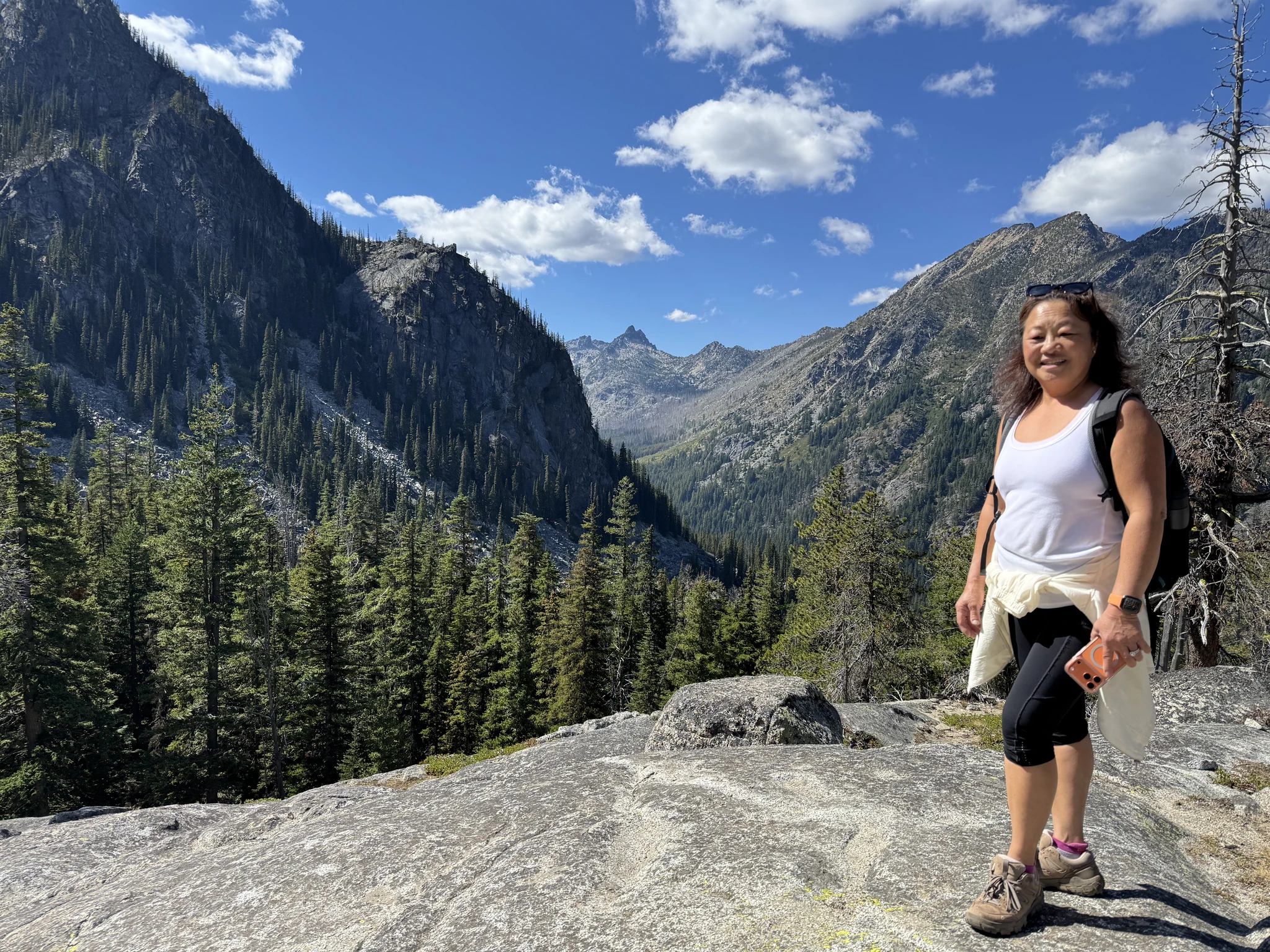
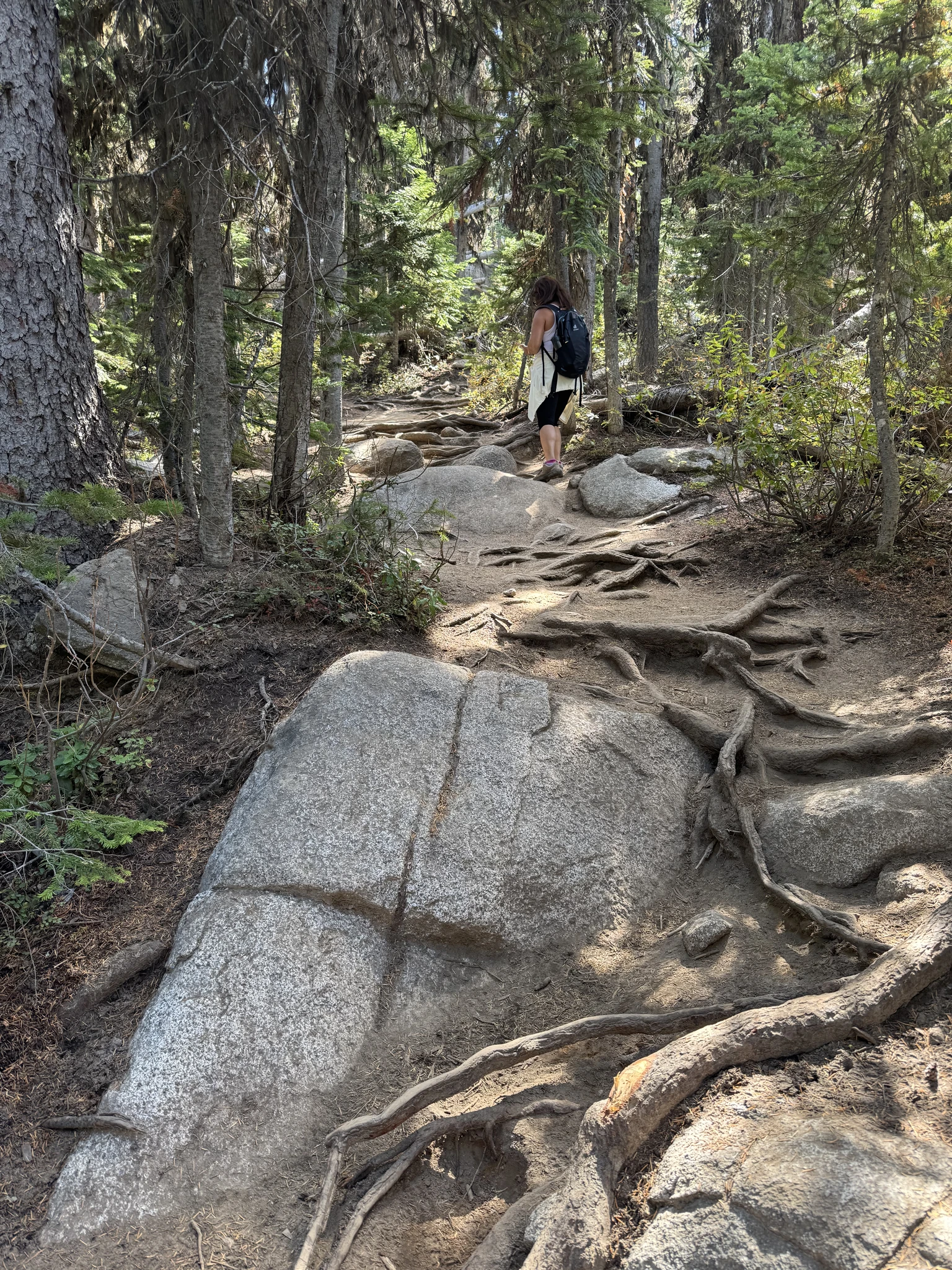
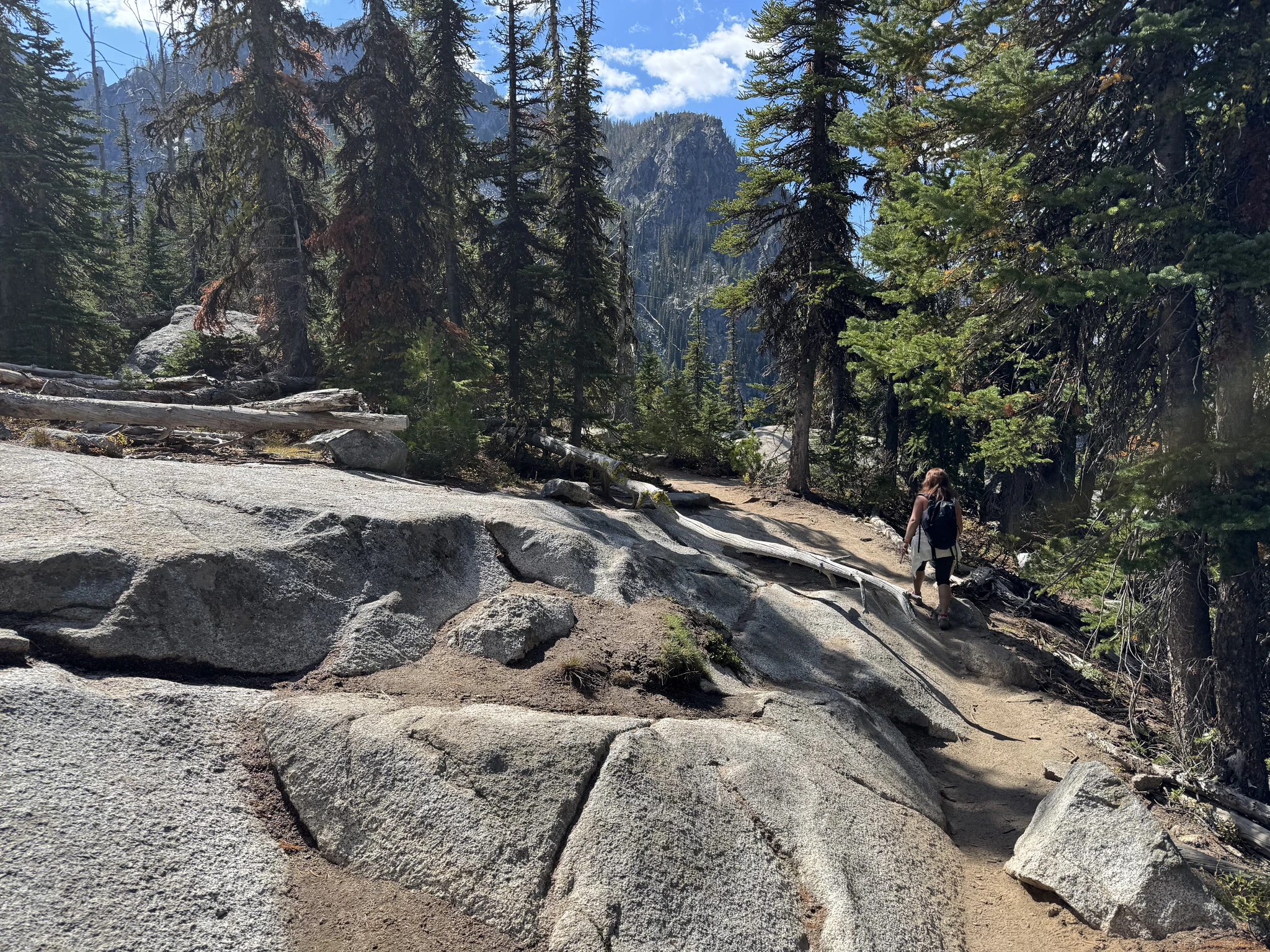
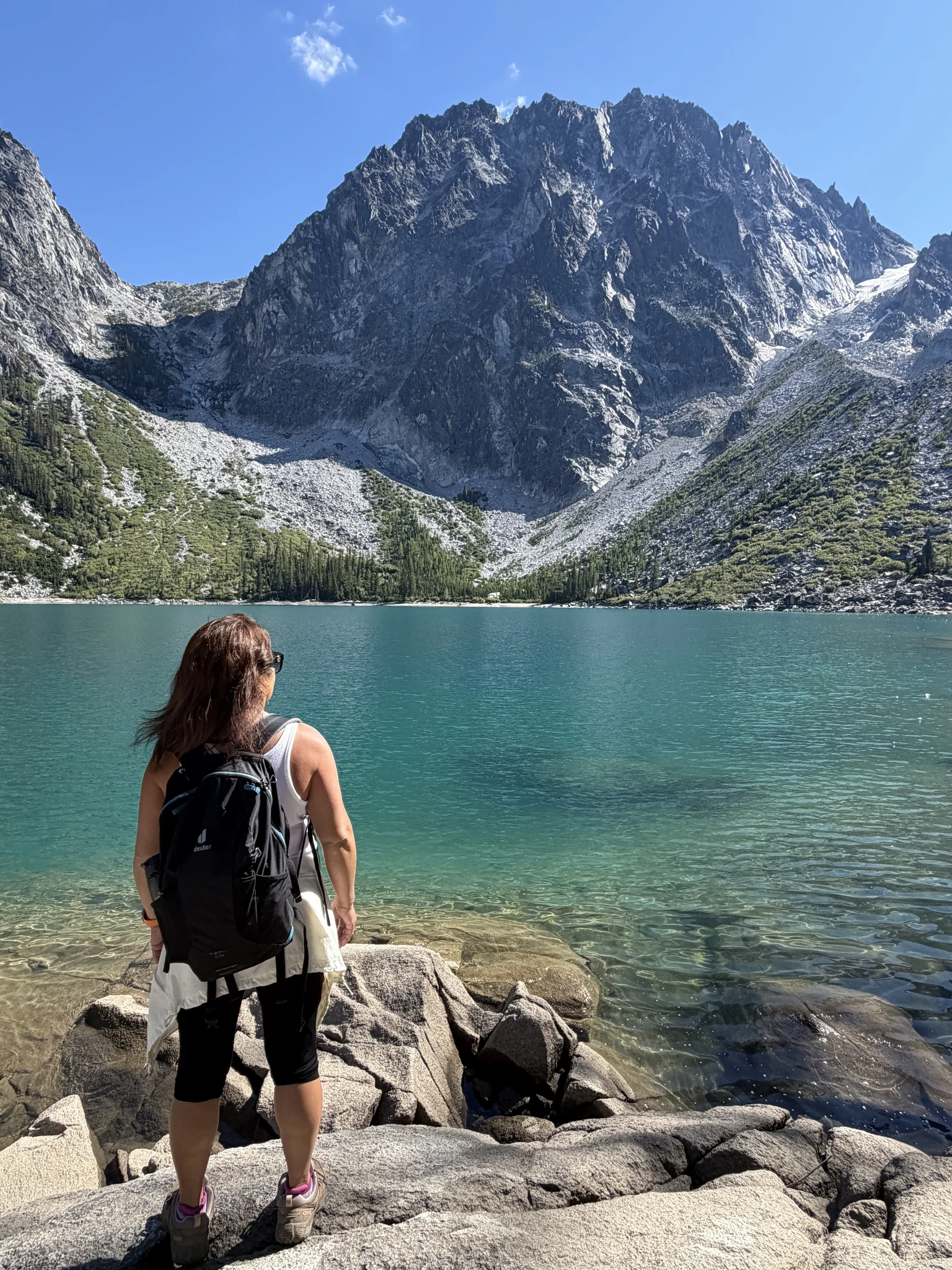
We finally reach the lake. It is truly majestic.
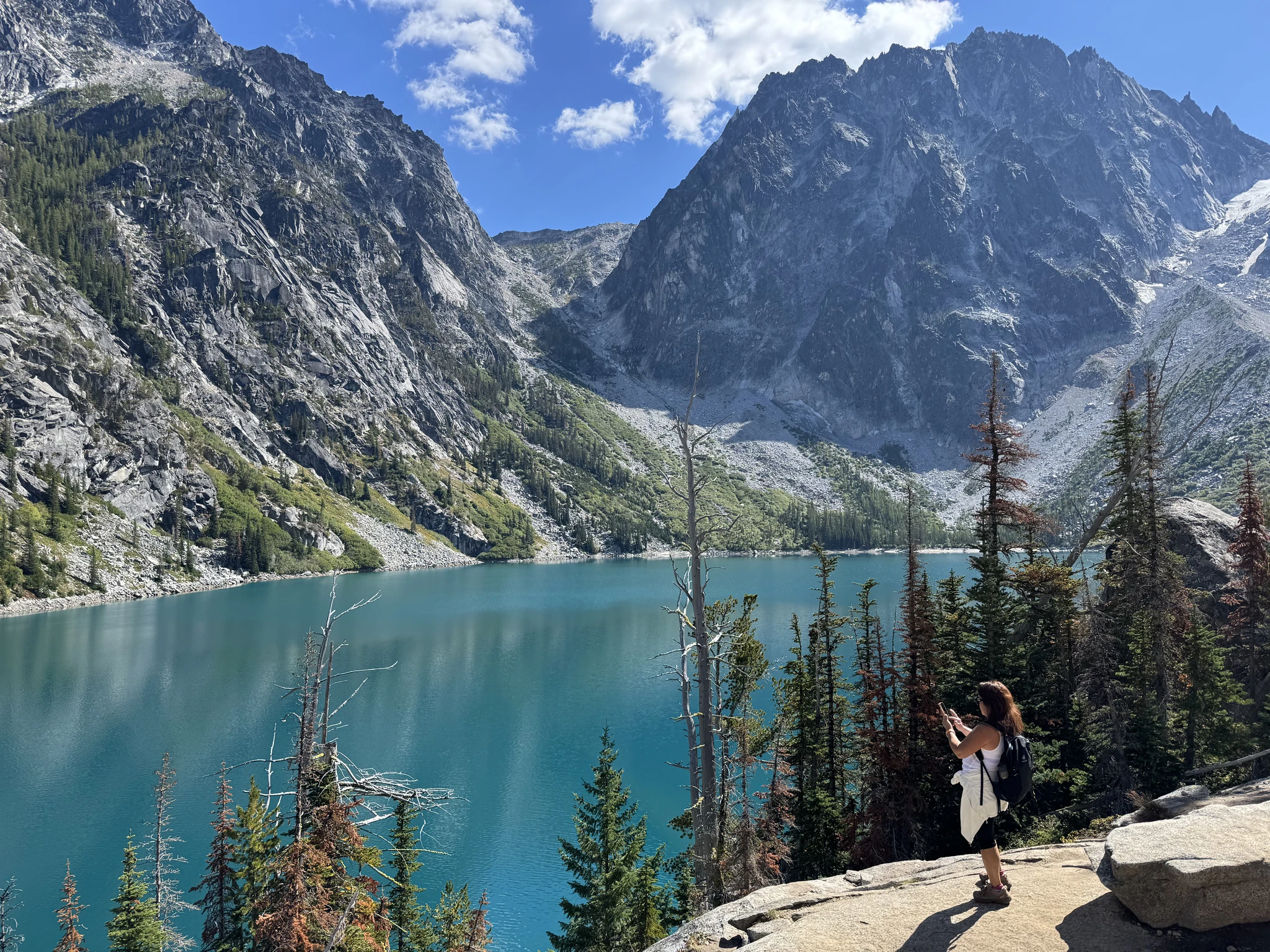
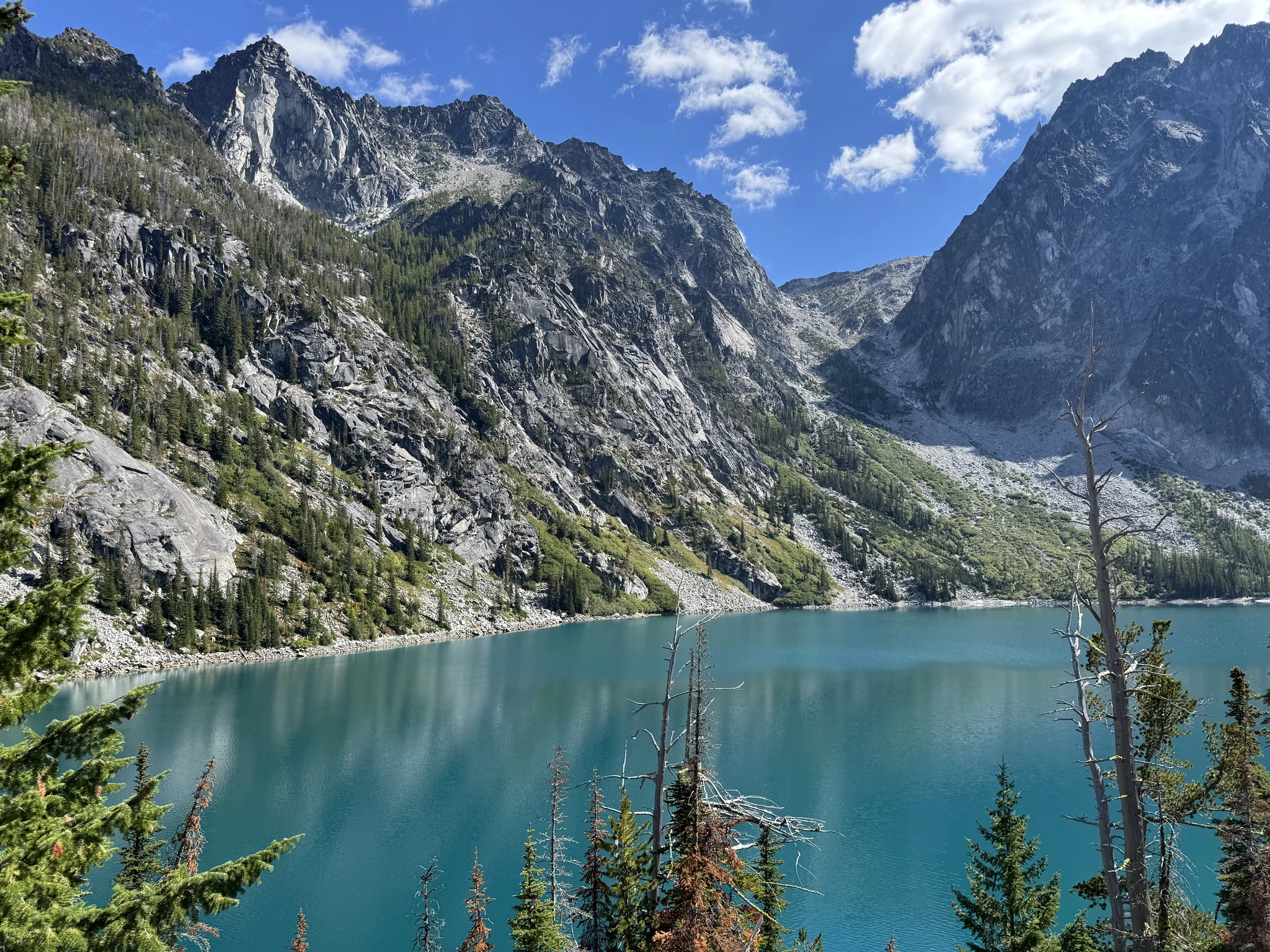
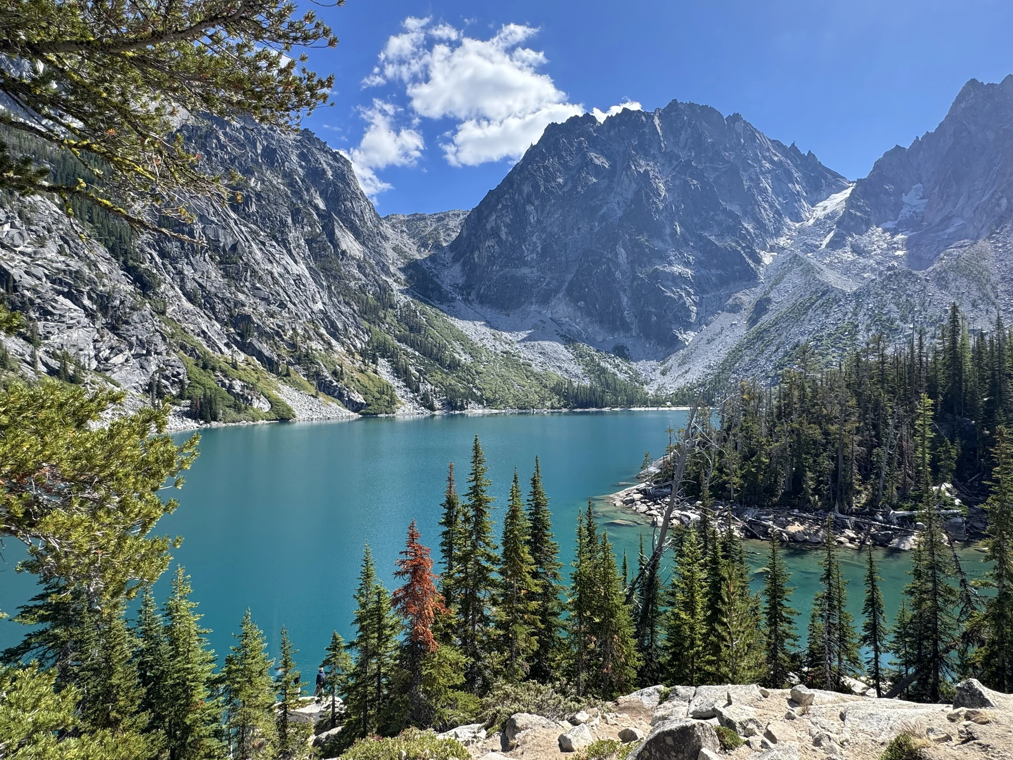
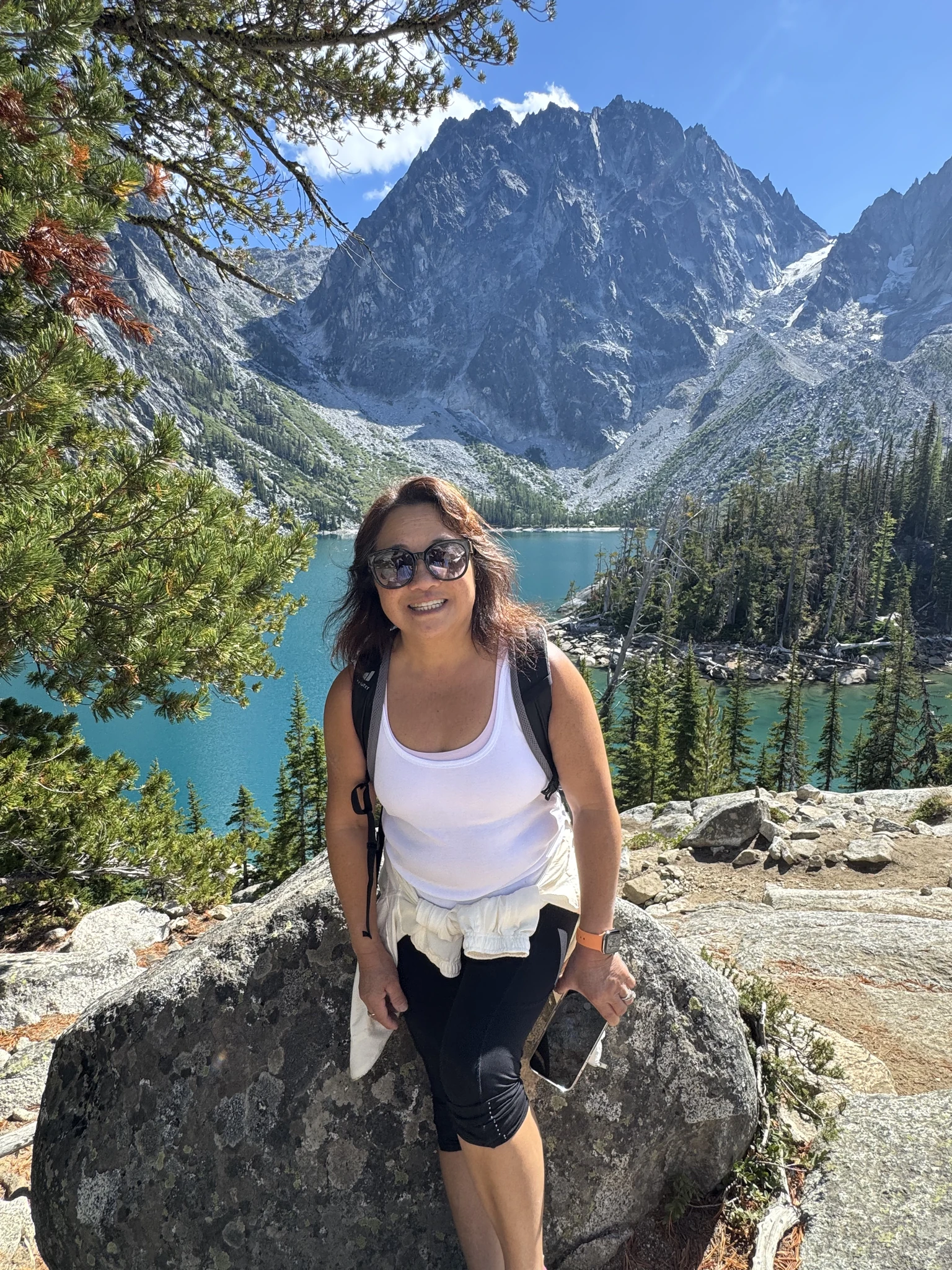
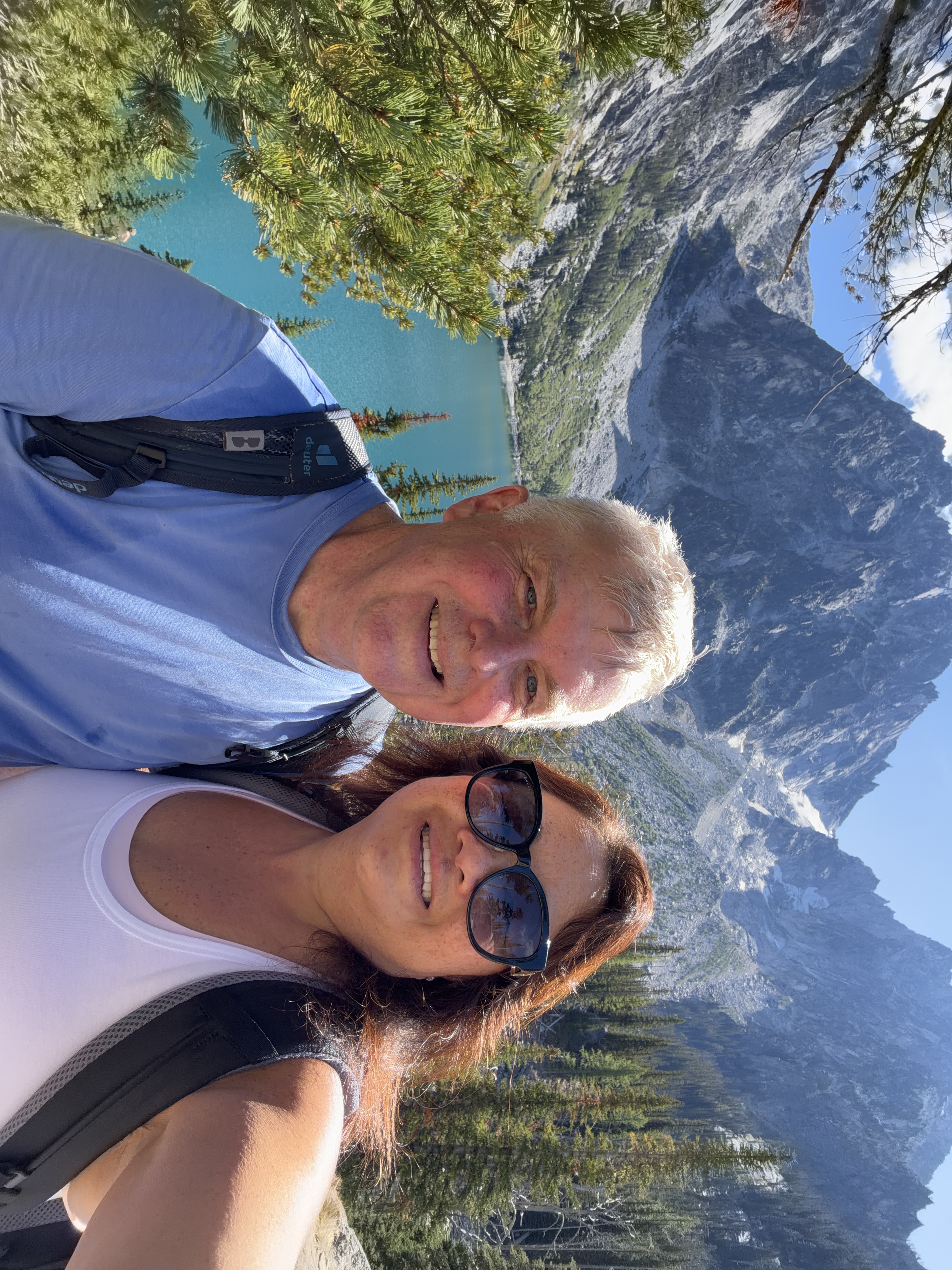
The trail continues on following the right side of the lake. This part of the trail is also difficult.
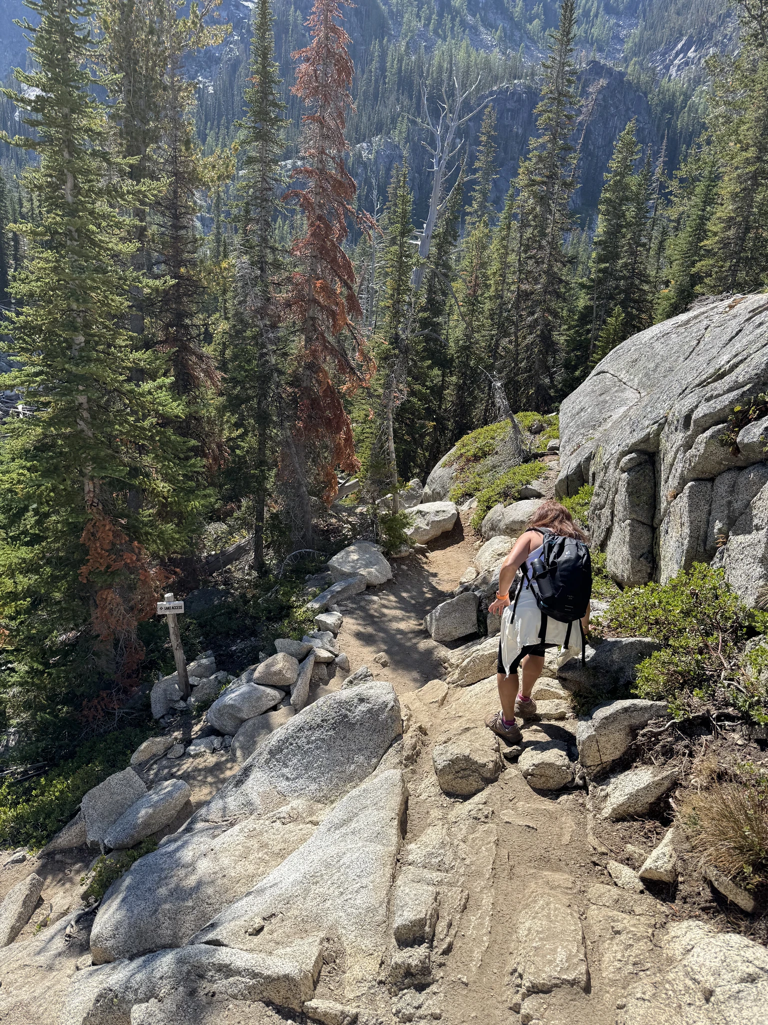
There appears to be a smaller body of water to the right of the lake.
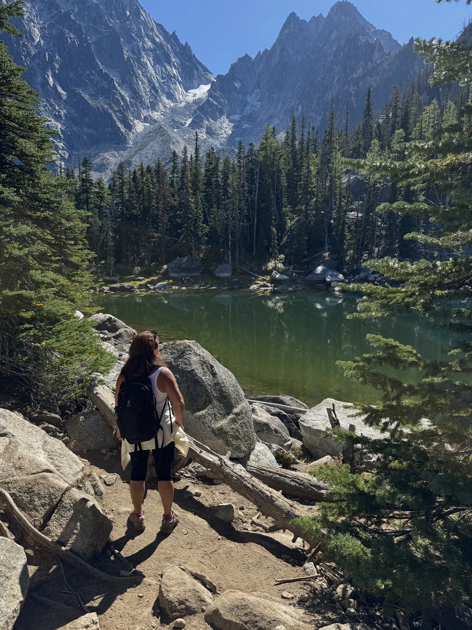
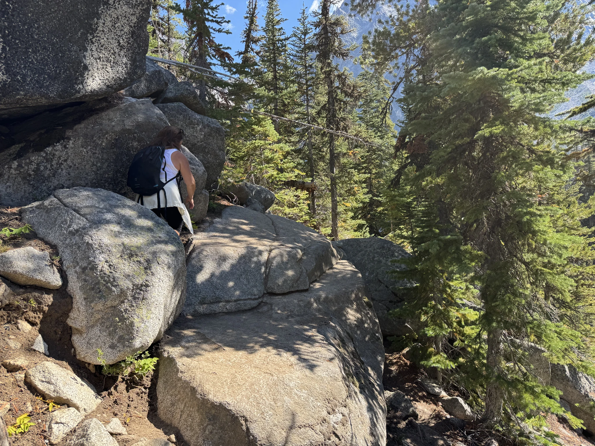
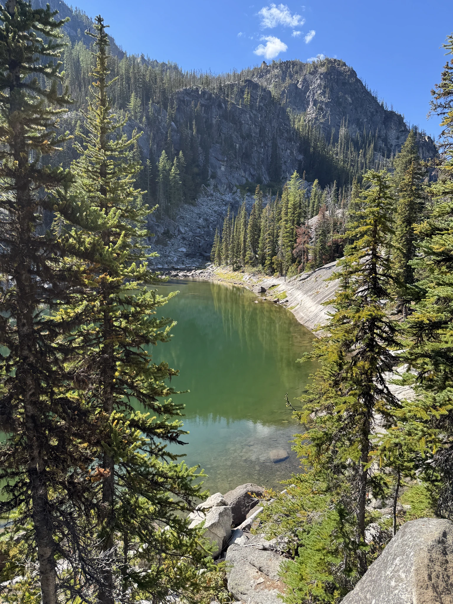
We find a spot with some large rocks comfortable to sit on and have lunch while we enjoy the surroundings.
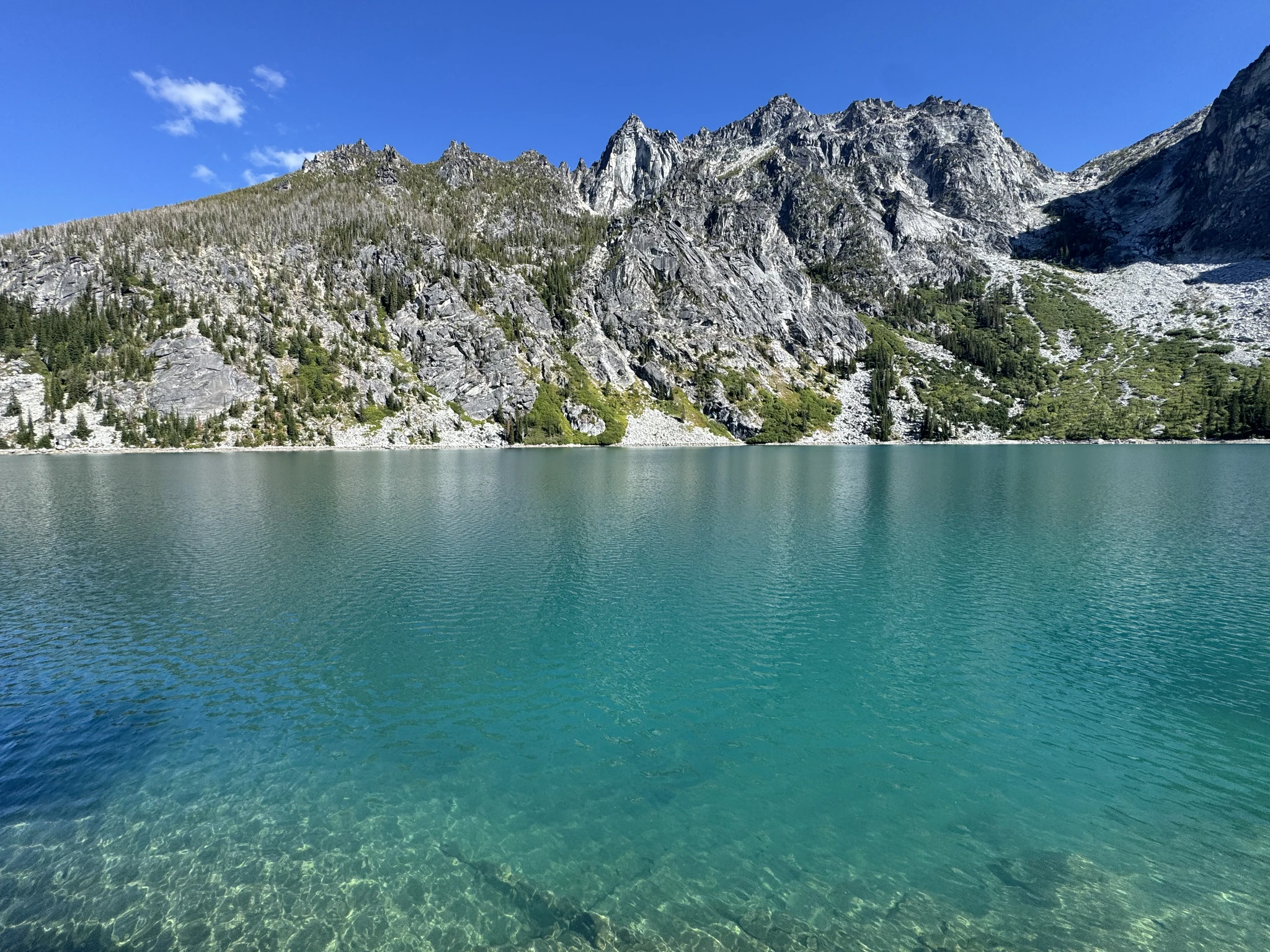
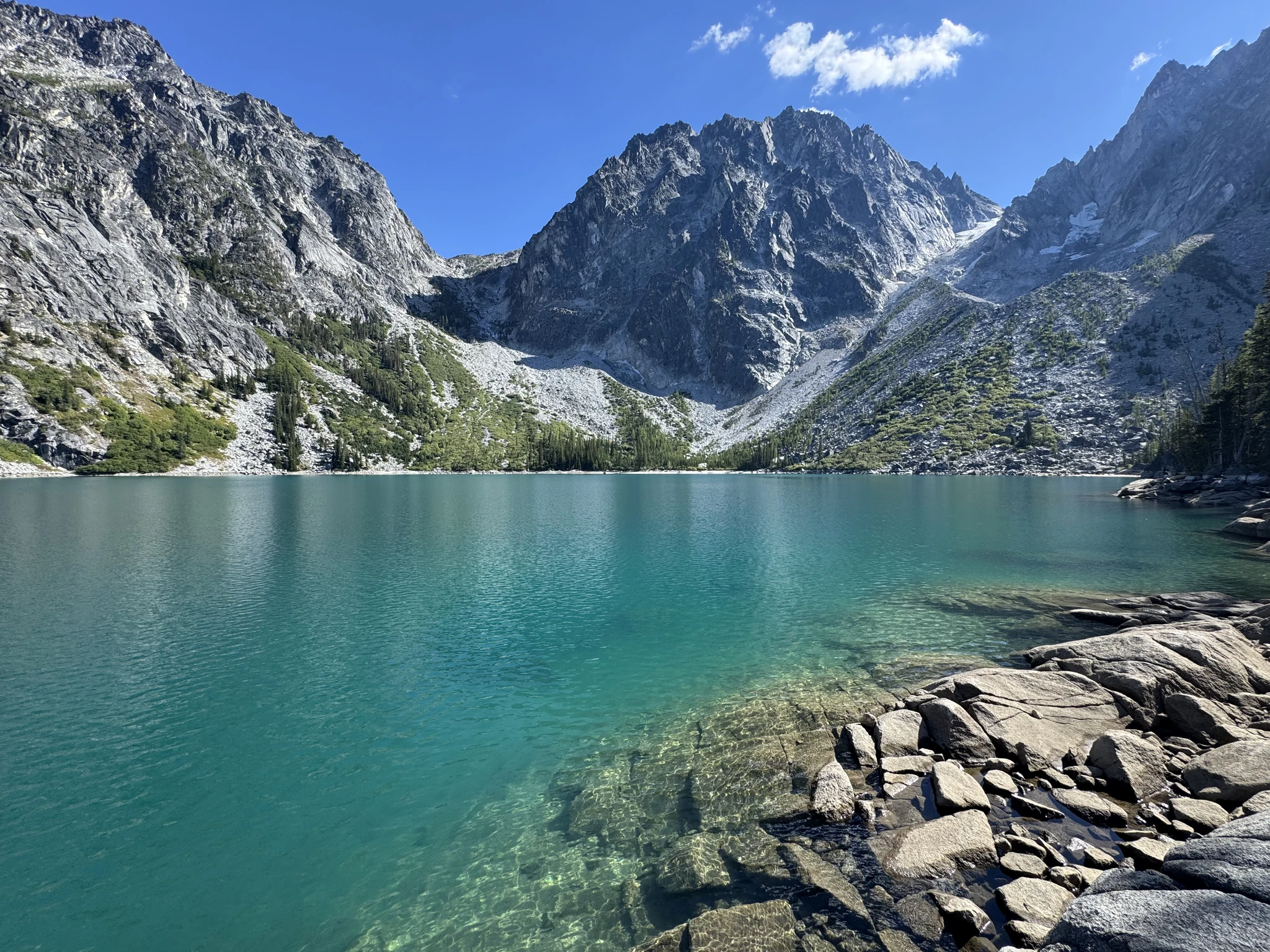
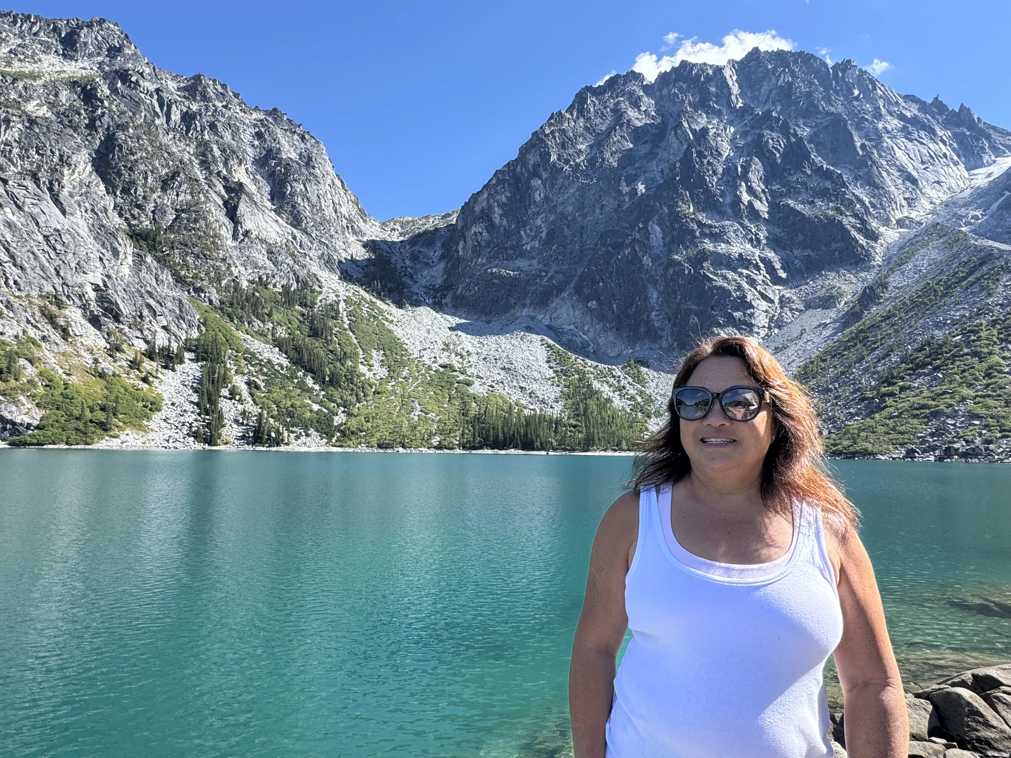
The trail goes farther down the side of the lake, but we decide we ought to get back.
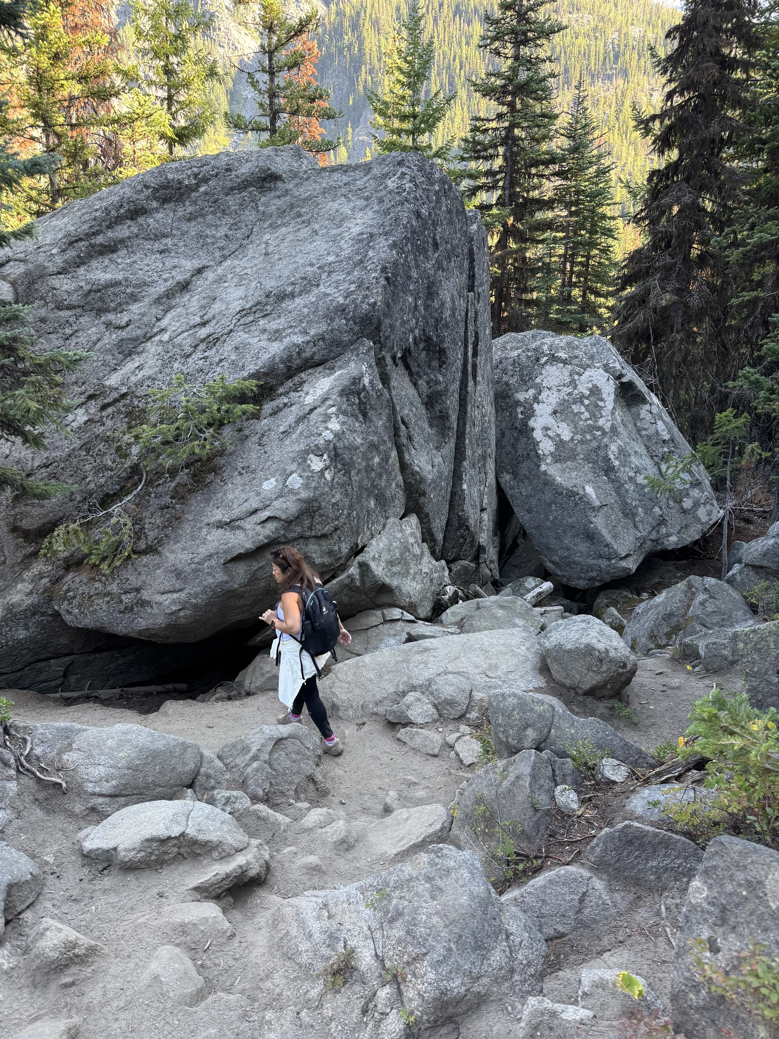
Going back you realize how steep it was in places. Of course, the progress is much faster going down.
On the way out we ran into a group of five deer.