Maple Pass Loop
October 5, 2026
Washington Trails Association page for this hike. All Trails page for this hike.
With all the picture taking, this ~7 mile hike took us 5 1/2 hours. From the top it took us 1 1/2 hours to get back down. Ying feels she could do this hike in 4 hours and she likely could without me slowing her down. The hike is rated moderate to hard. One trail report called it an “easier hard”.
This page may load slow as it has a lot of pictures. It was difficult for me to edit them down given the beauty of the area. I took 375 photos and have almost 150 on the page. This time of the year was perfect as one of the attractions of the trail is to see the Larch trees when they turn yellow in the fall.
Commonly, folks do the loop counter-clockwise and that is what we did as well. We saw a few going in the other direction. The counter-clockwise allows you to enjoy the best scenery on the way up as the other side of the loop is in the woods for a large part of the way.
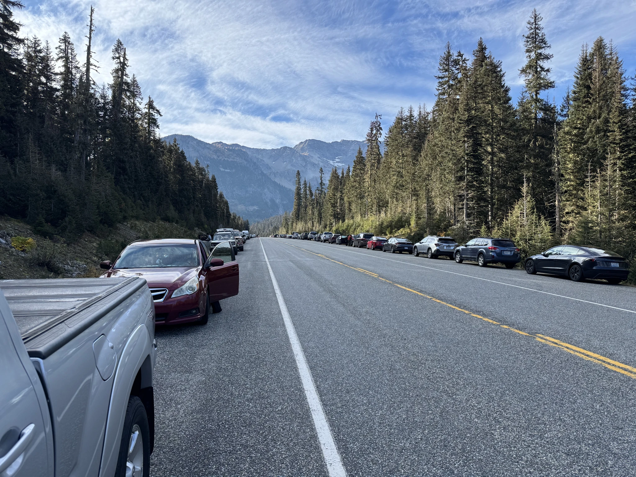
This is a heavily used trail. If you are driving on the Cascade Loop on Highway 20, you will see the trailhead with a mile of cars parked along the sides of the road. Folks complain a lot about how crowded it is on the weekend. We did the trail on Monday and the trail didn’t seem nearly as crowded as you would think from all the cars parked there.
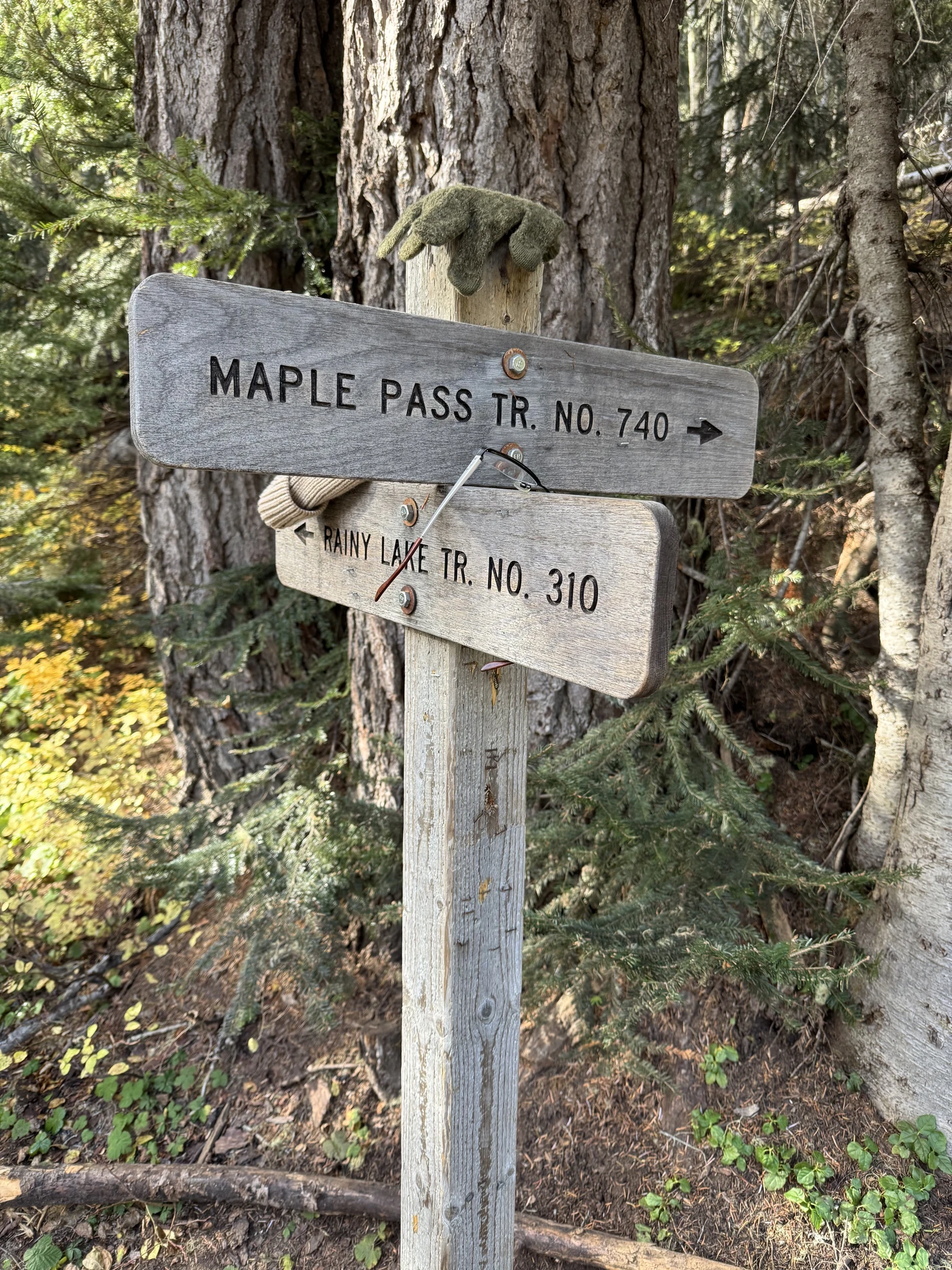
The trail starts off on nice ground. Going the counter-clockwise route, it never gets very steep. One of the attractions for going clockwise may be to get a more difficult workout.
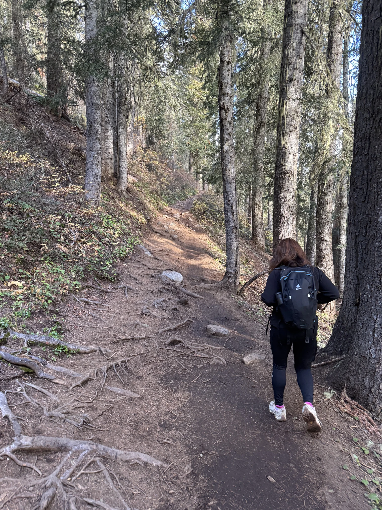
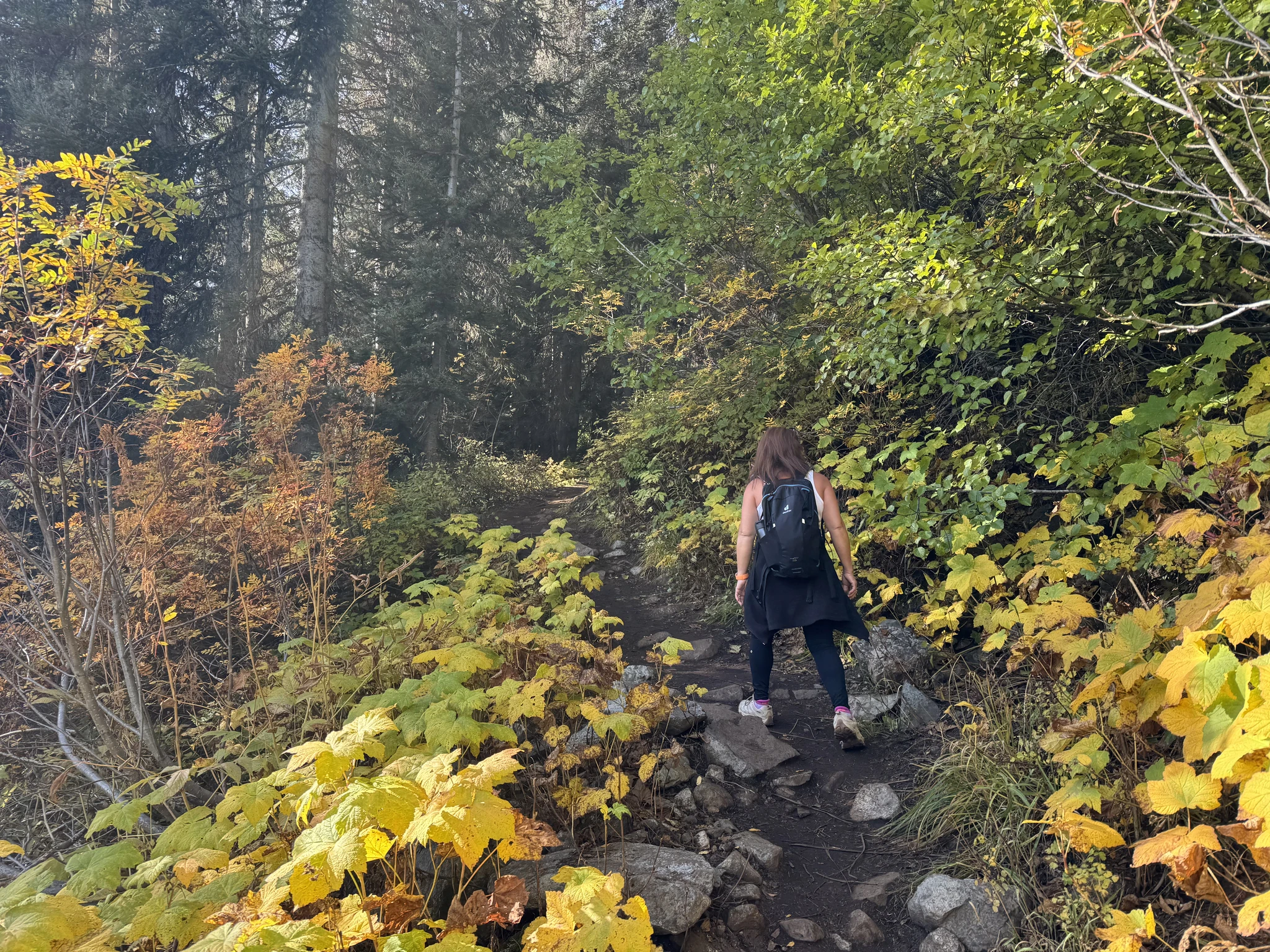
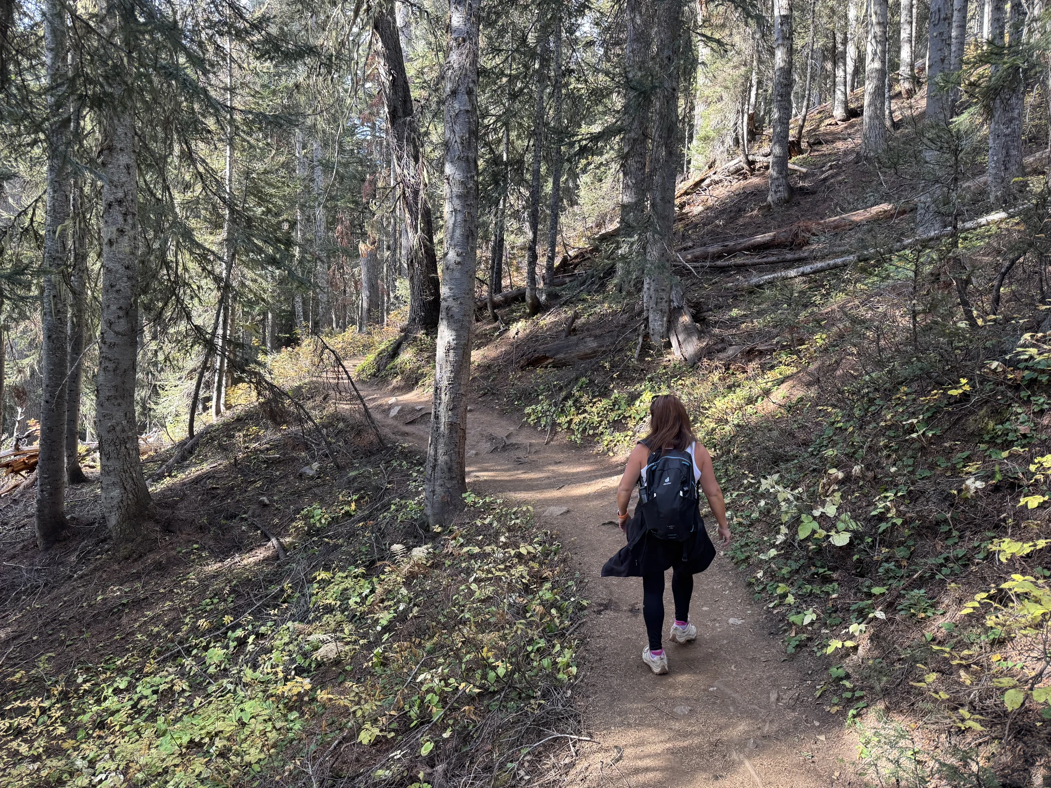
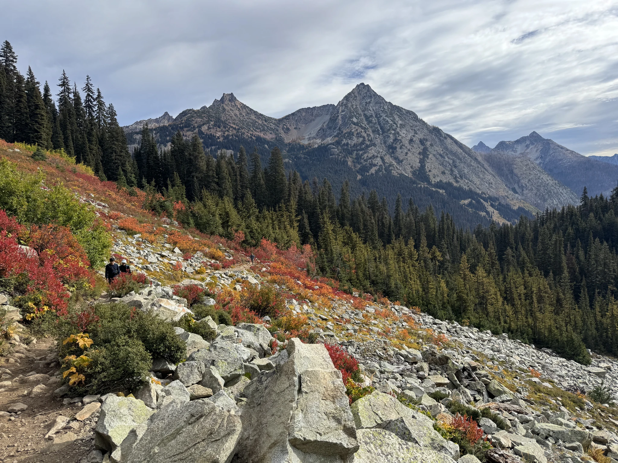
It doesn’t take long before you get to an open area with dramatic views and per the time of the year, some wonderful fall colors.
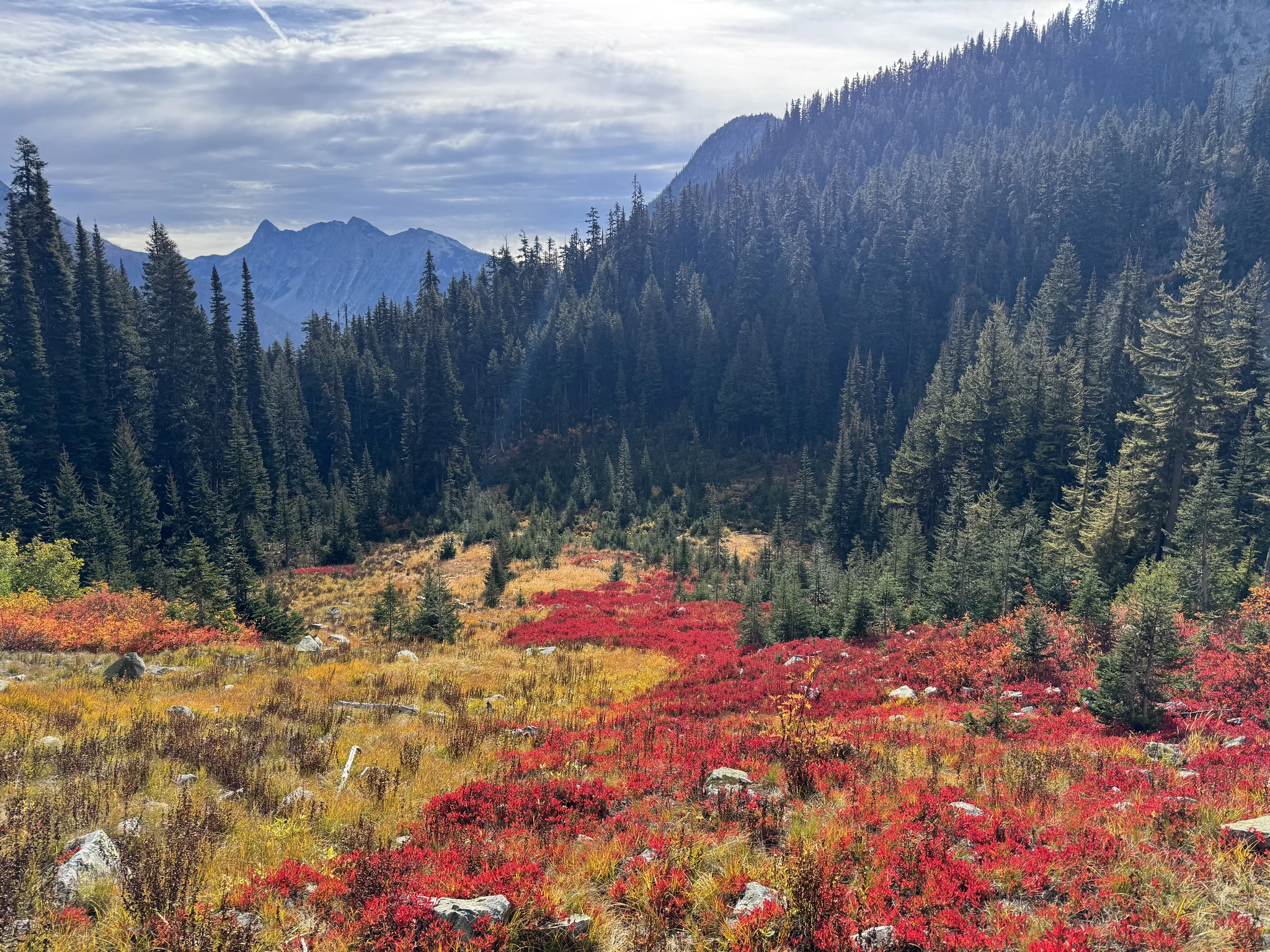
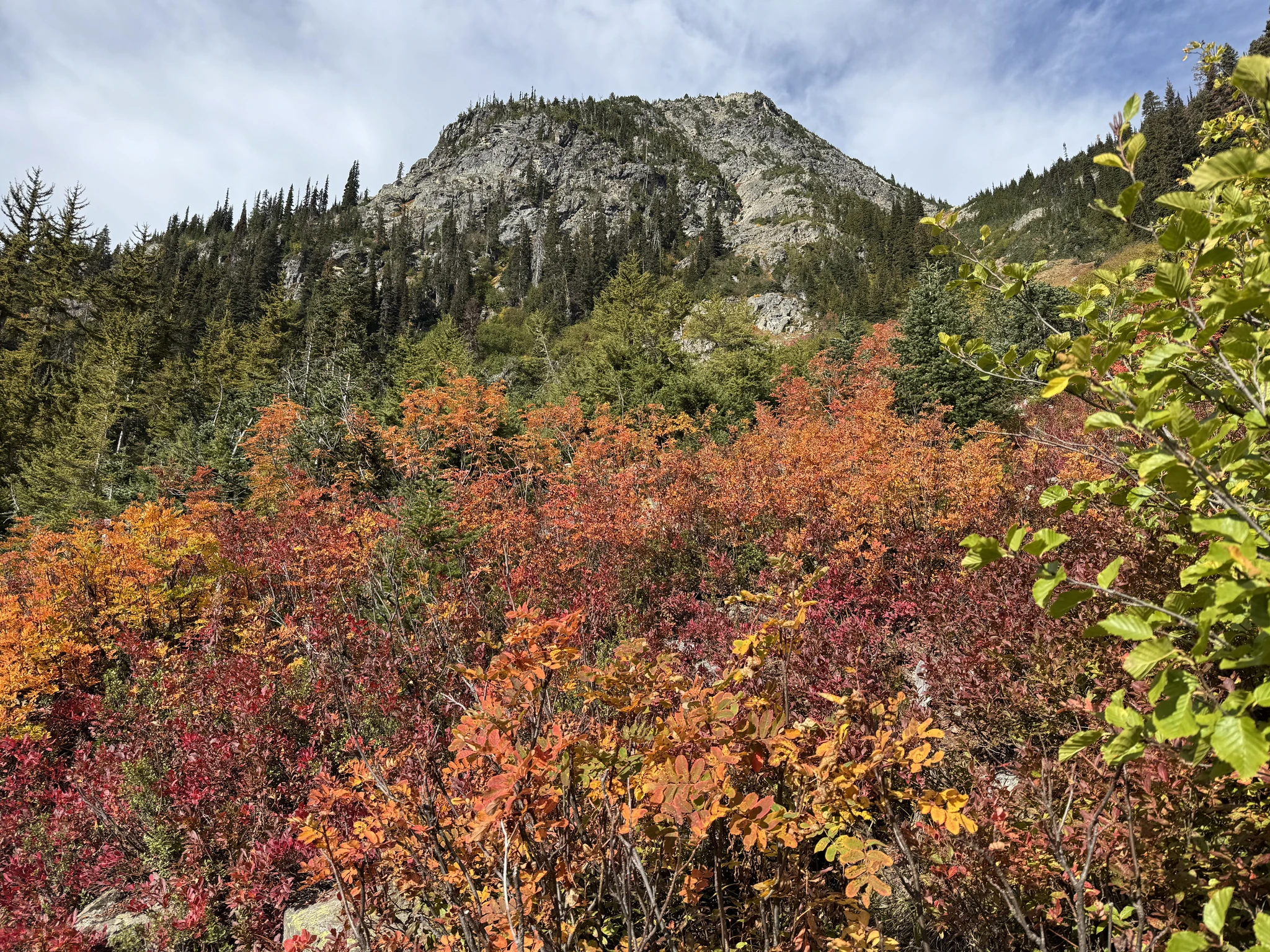
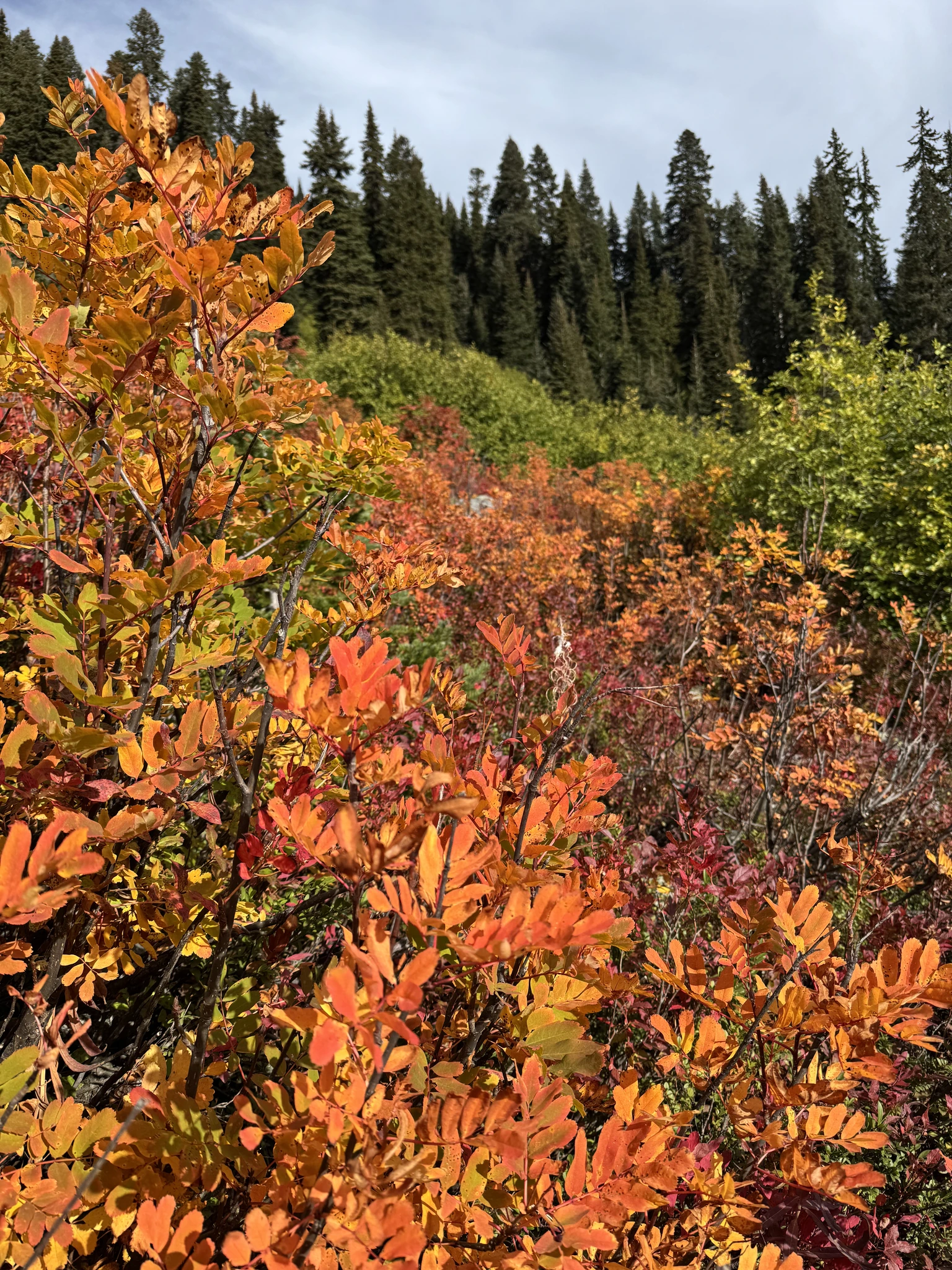
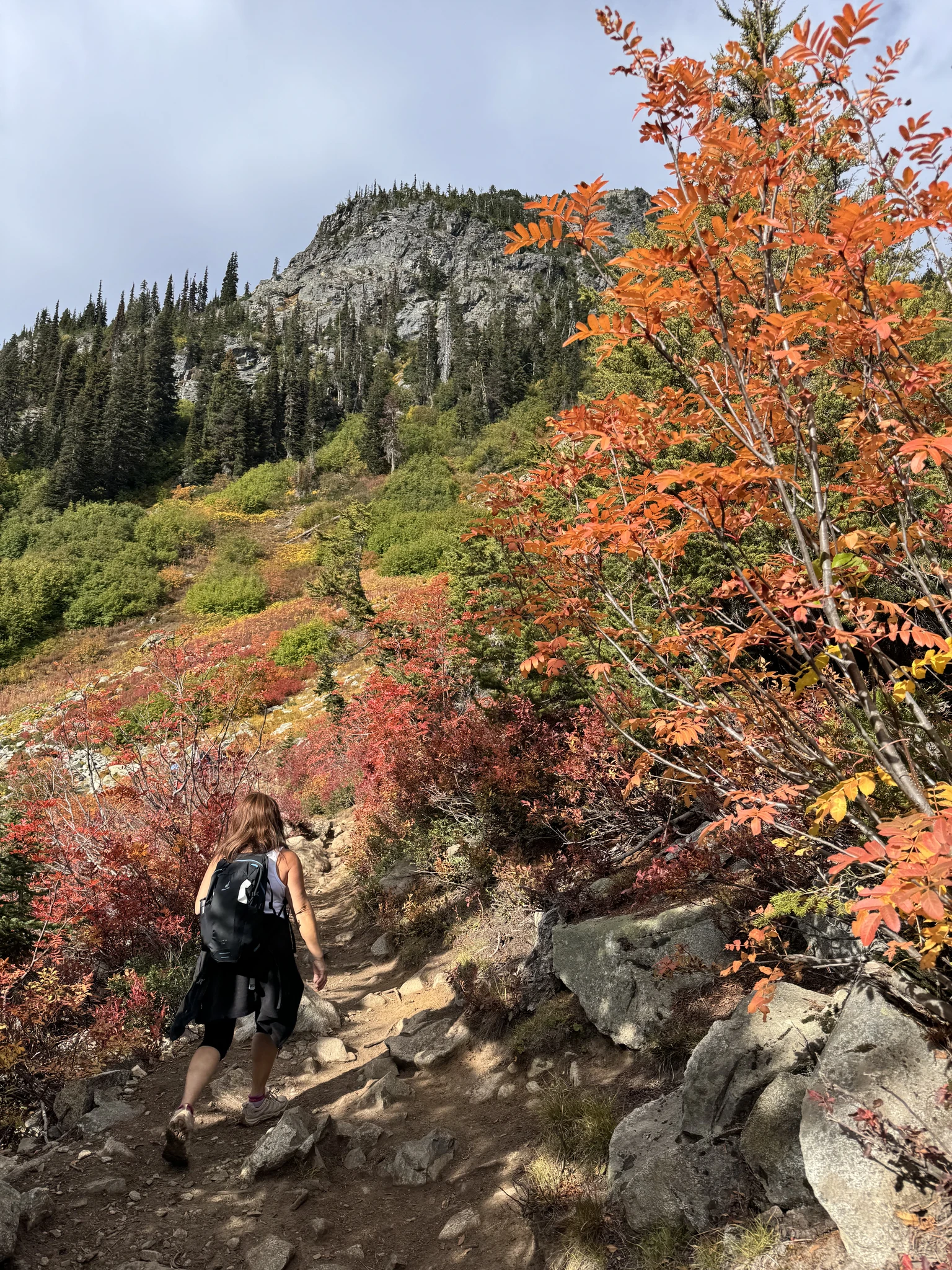
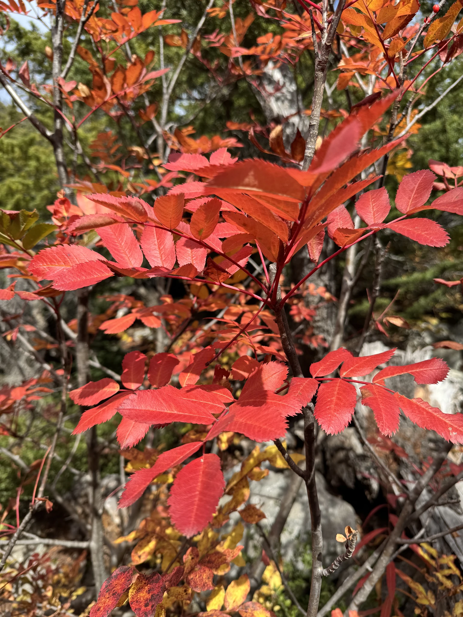
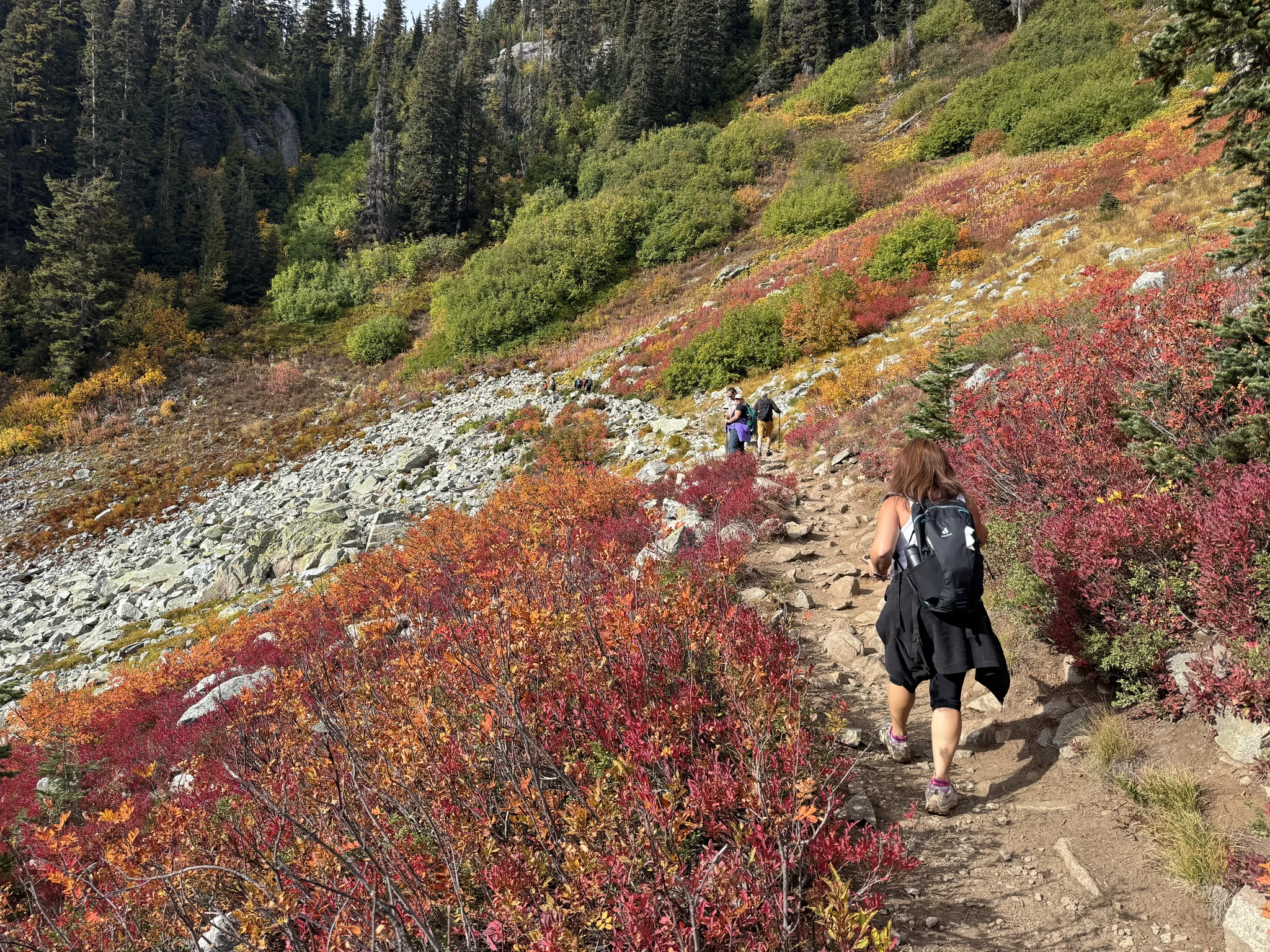
We were fortunate that while it was expected to be a cloudy day, for the most part the weather was great and we had excellent mountain views. We had been here a couple times before and on one of those occastions there was a lot of smoke in the area from distant forest fires.
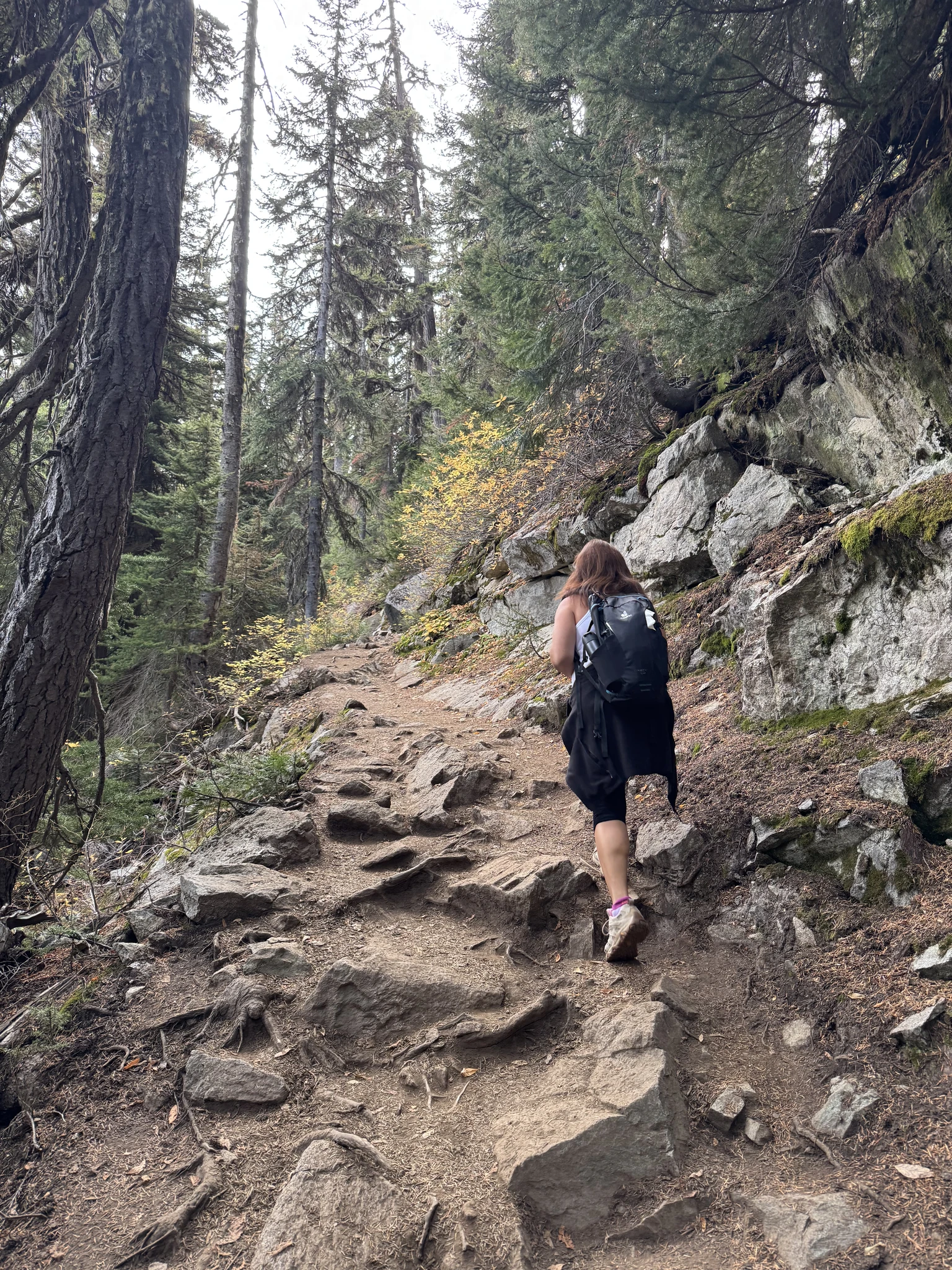
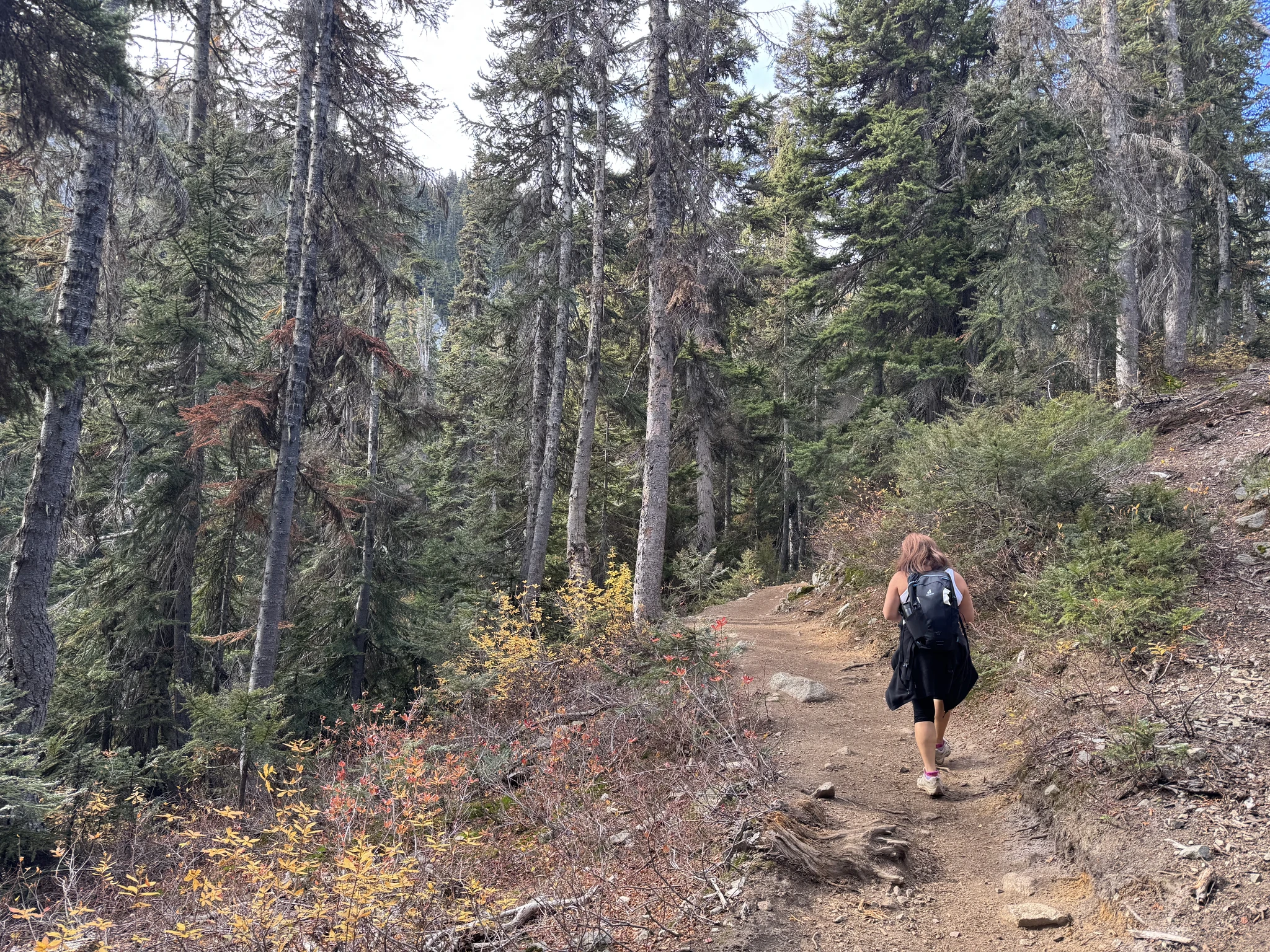
More trecking through woods again.
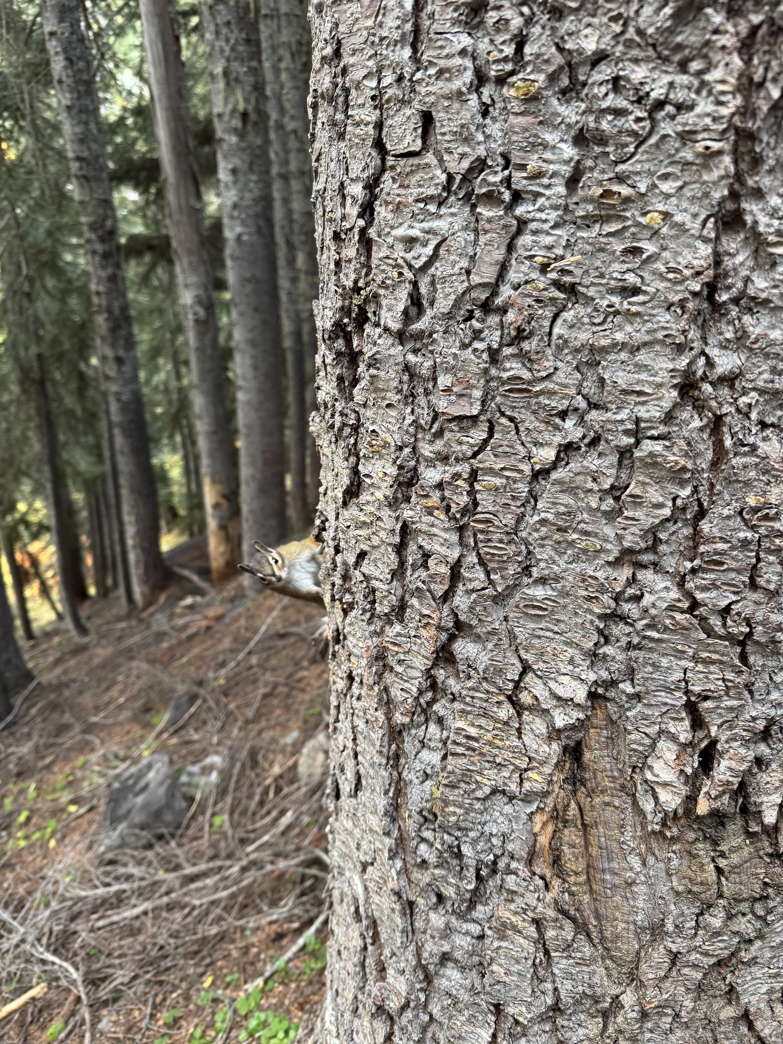
A small chipmunk peeps at me from the other side of a tree.
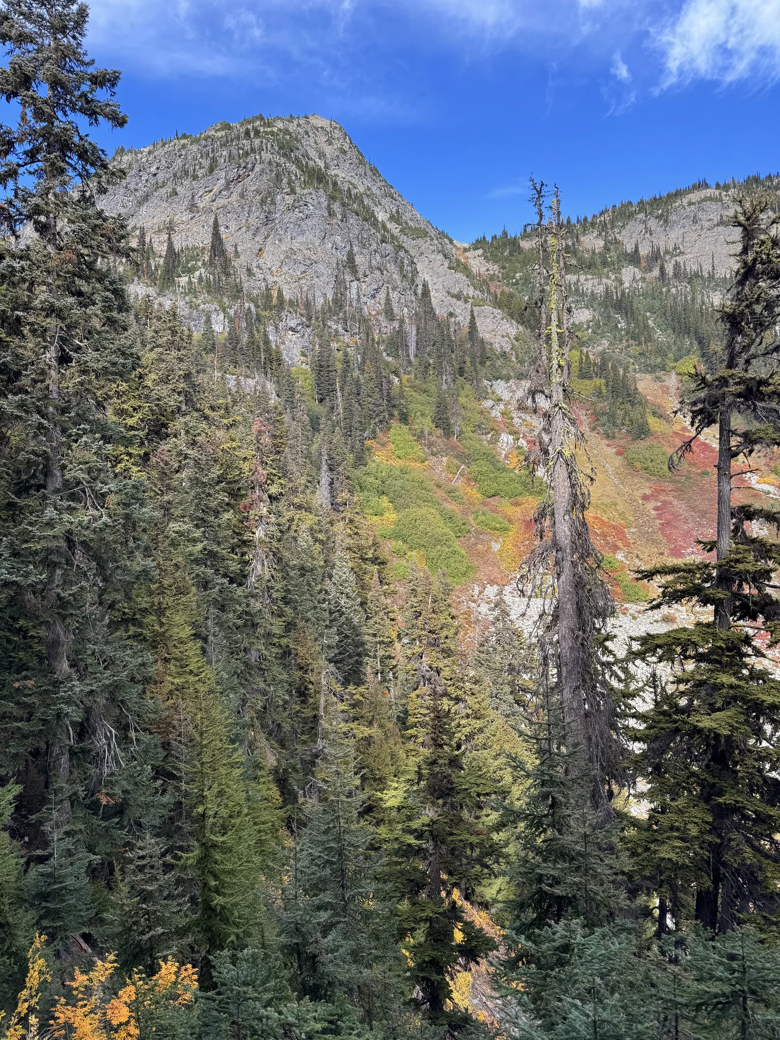
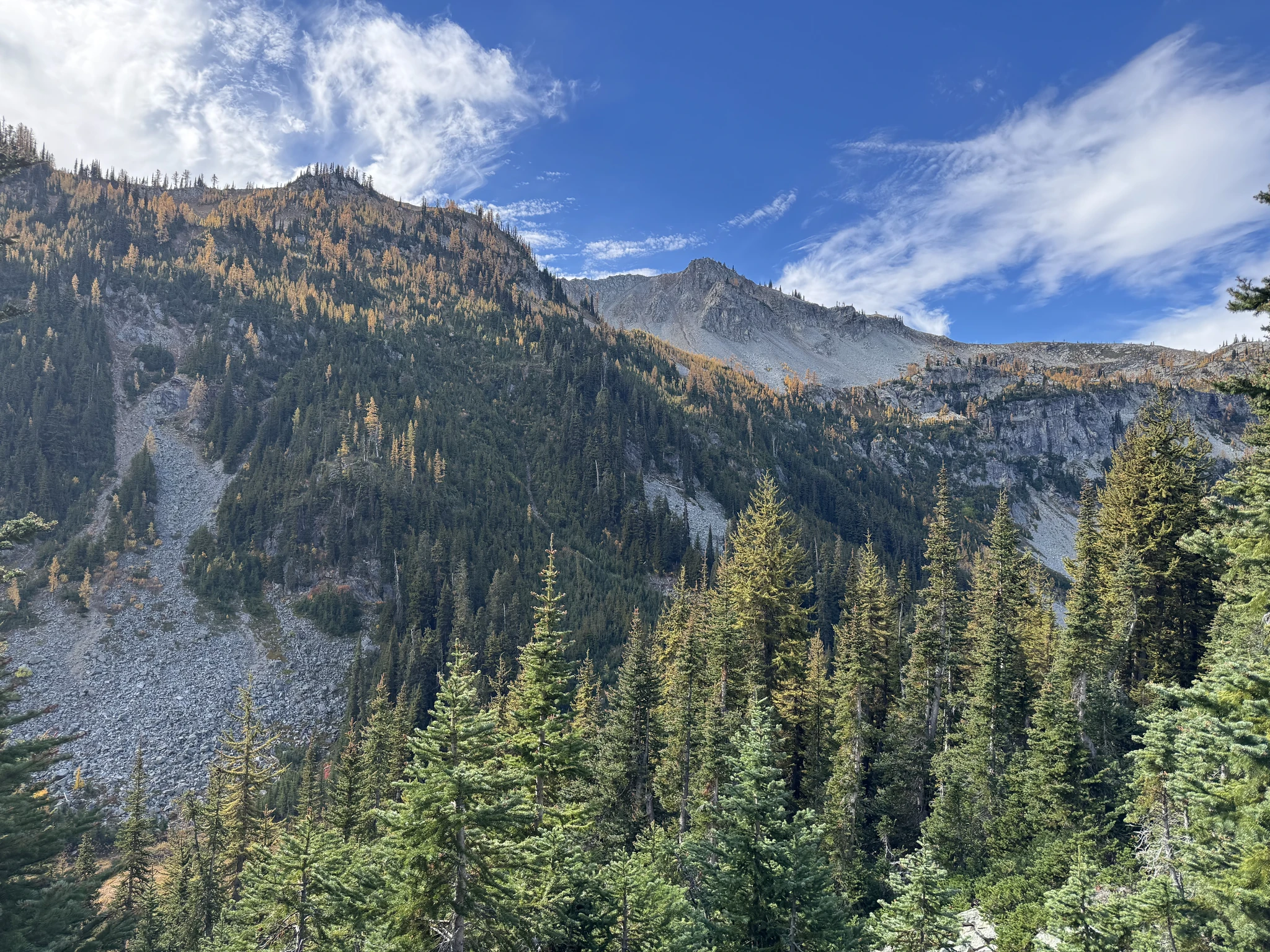
We are headed to the top of that mountain ridge.
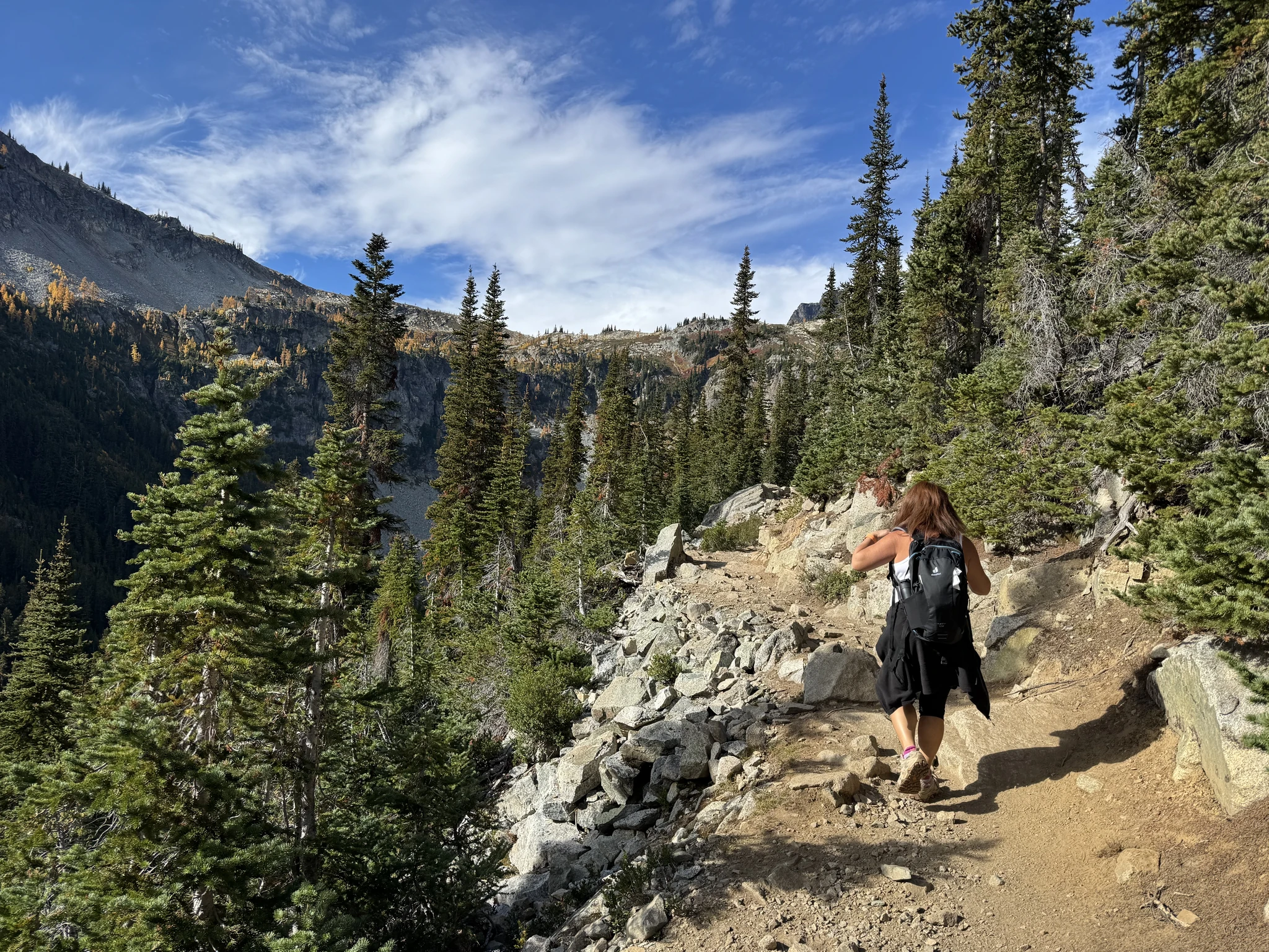
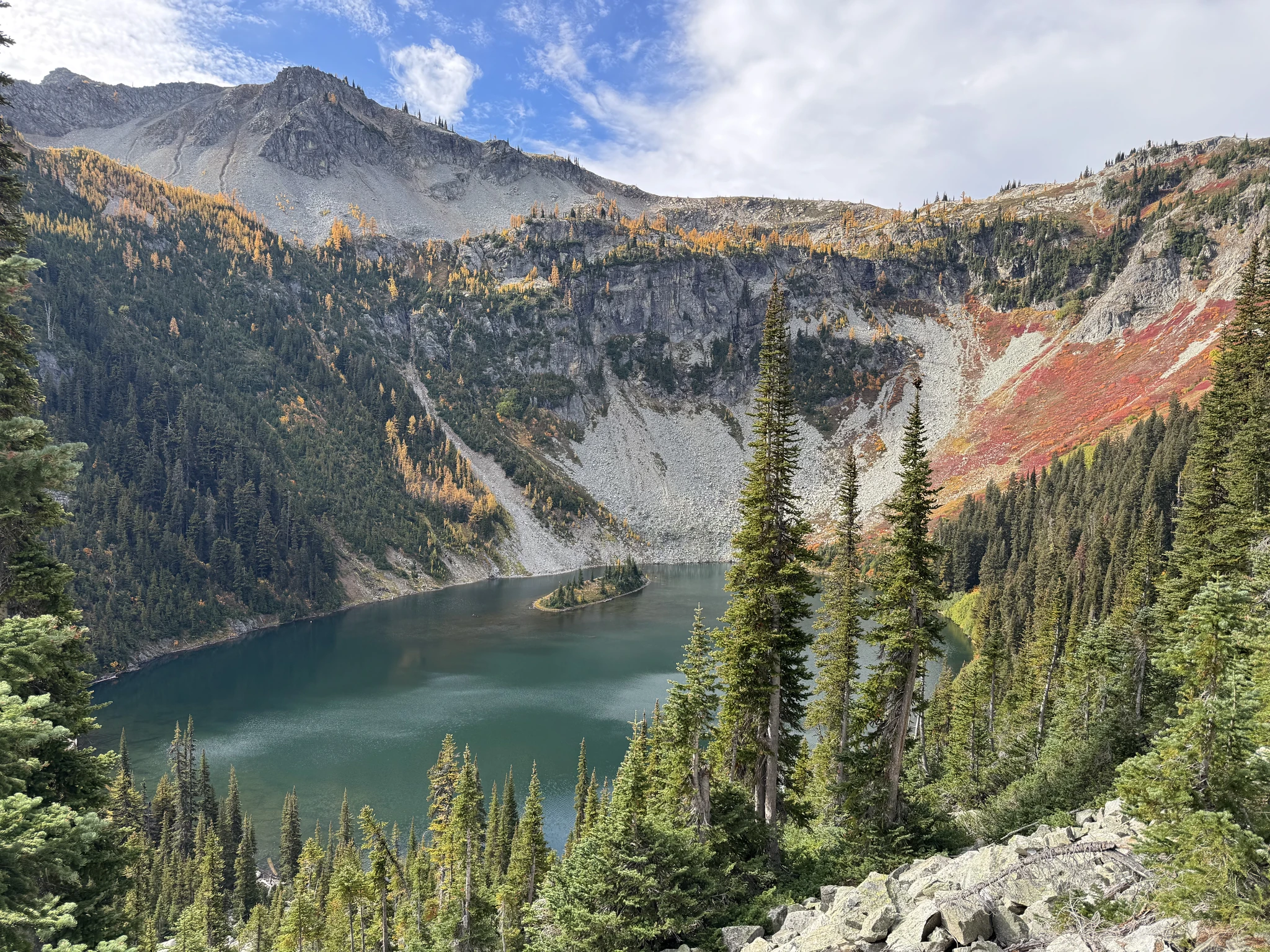
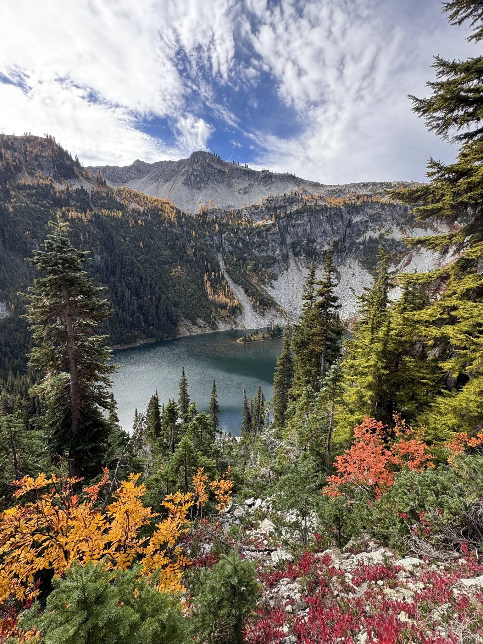
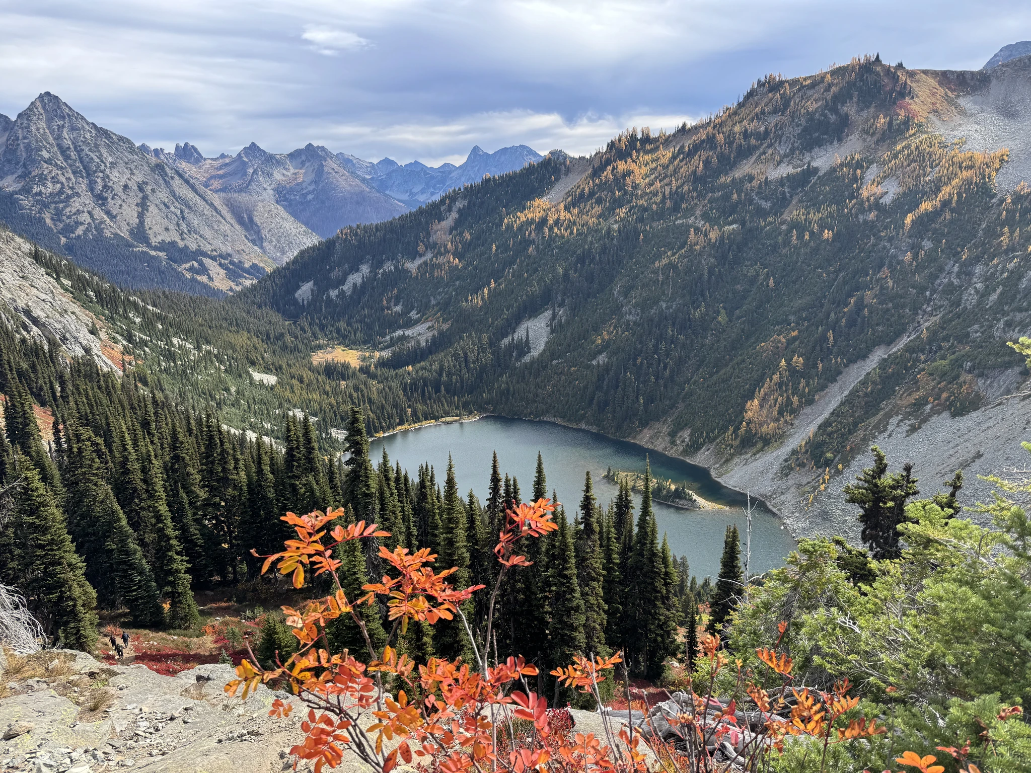
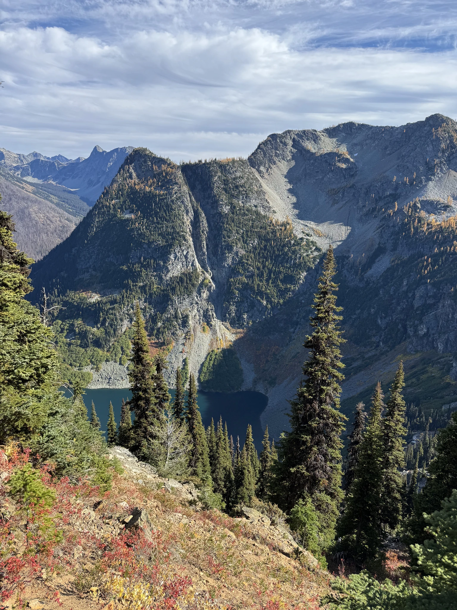
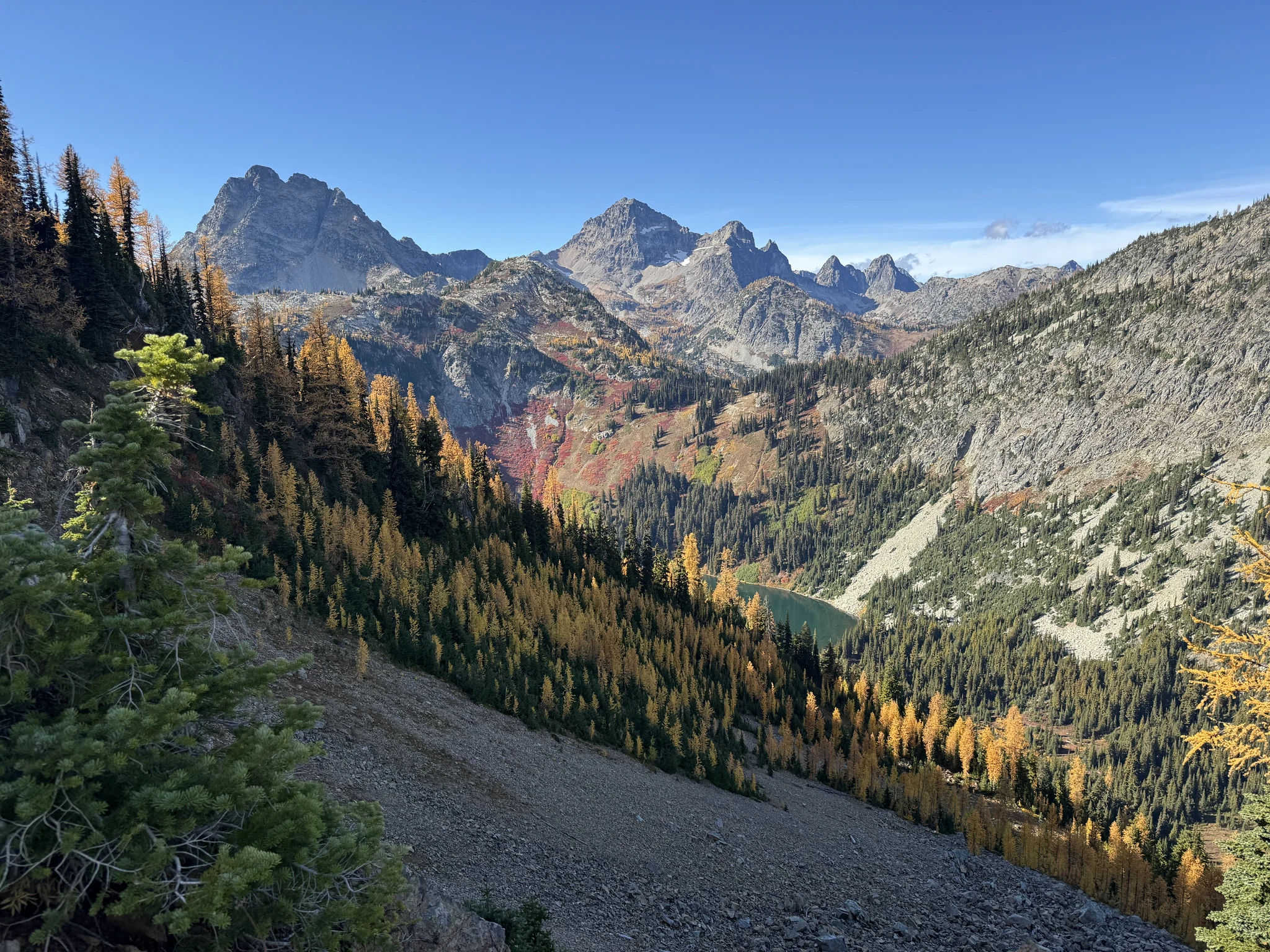
This is Lake Ann. At one point early in the trail you can opt to go to the lake. We skipped it to stay on the main route which will continues up and around the lake.
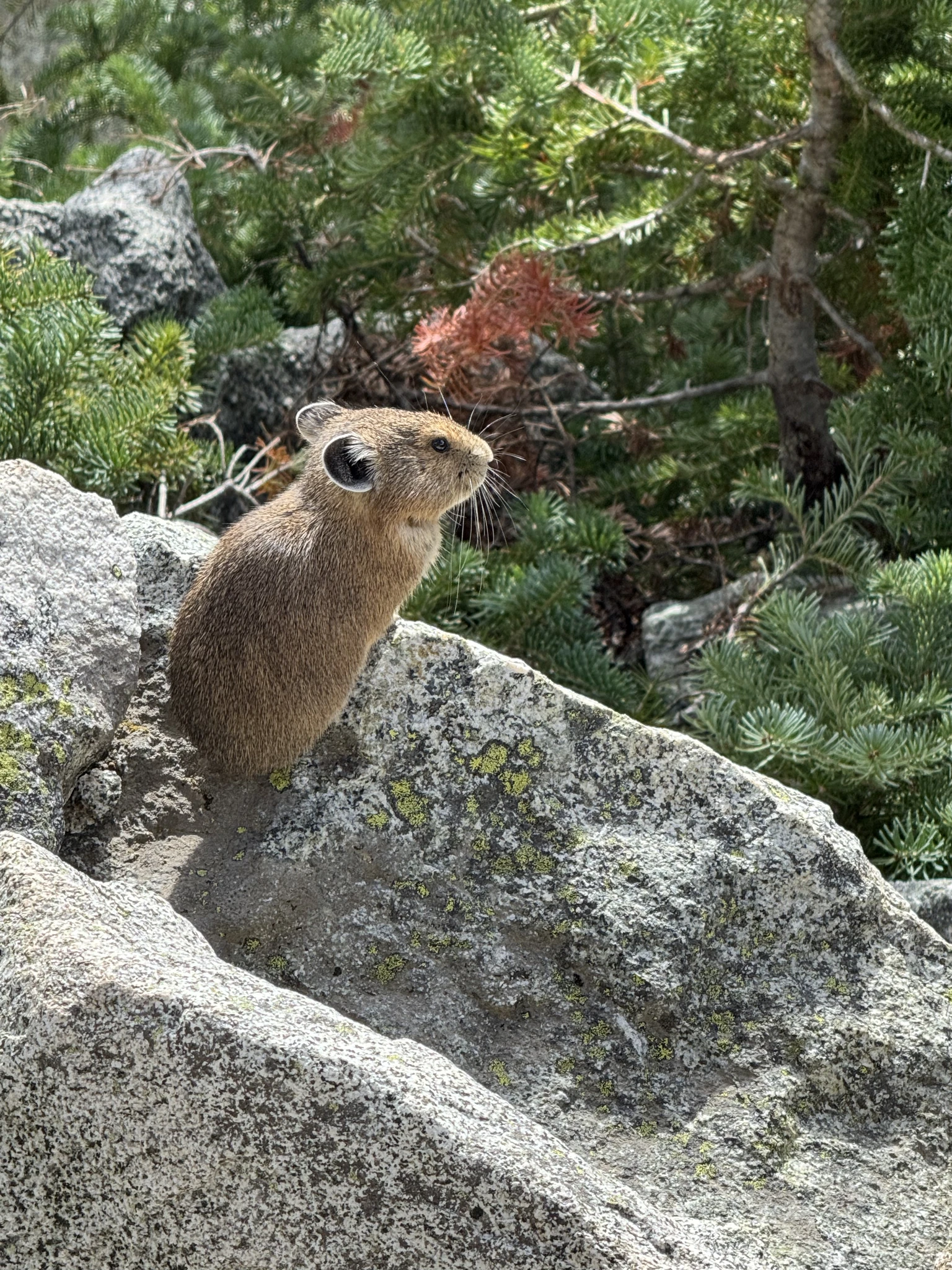
Another small animal along the way.
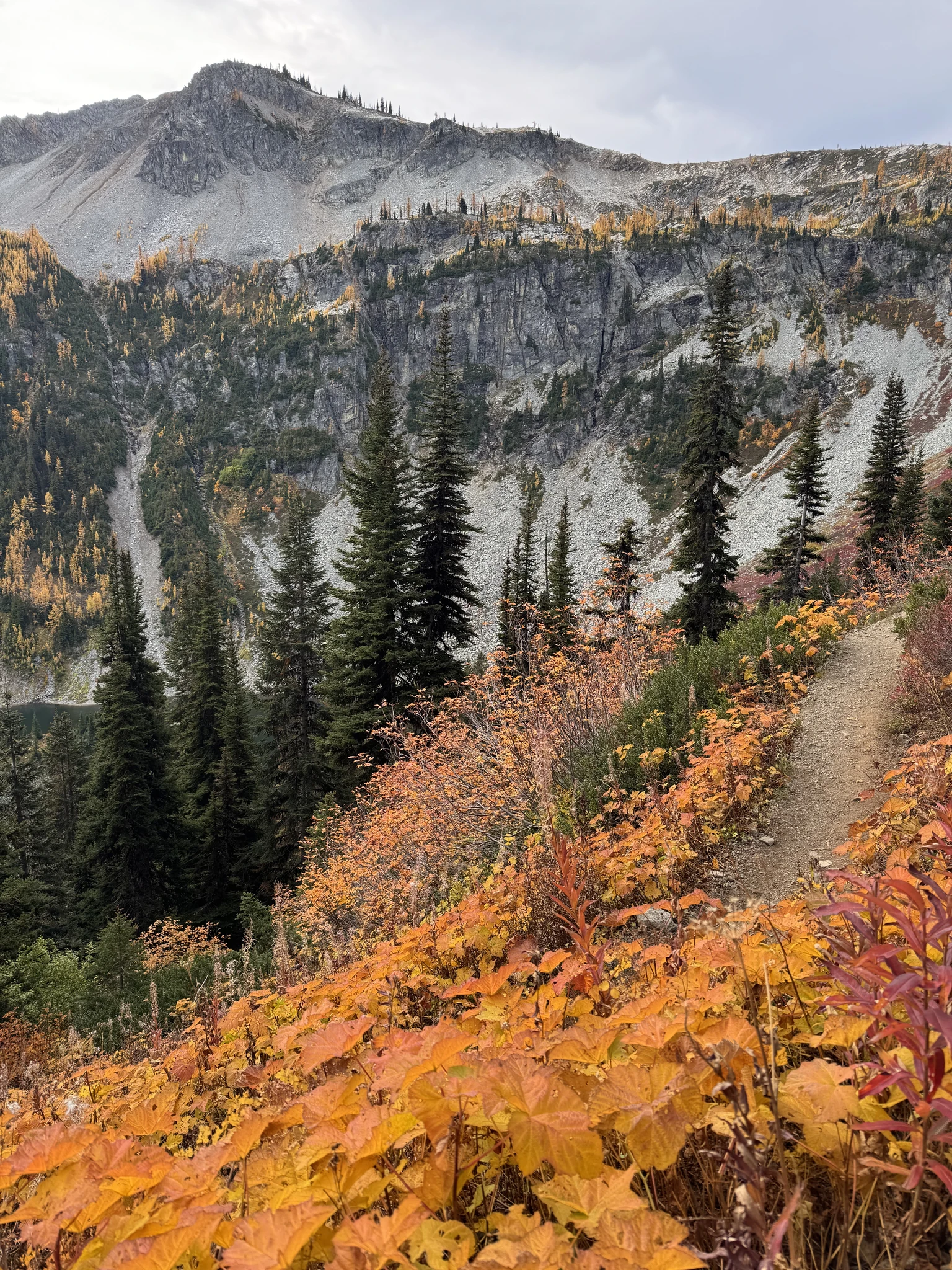
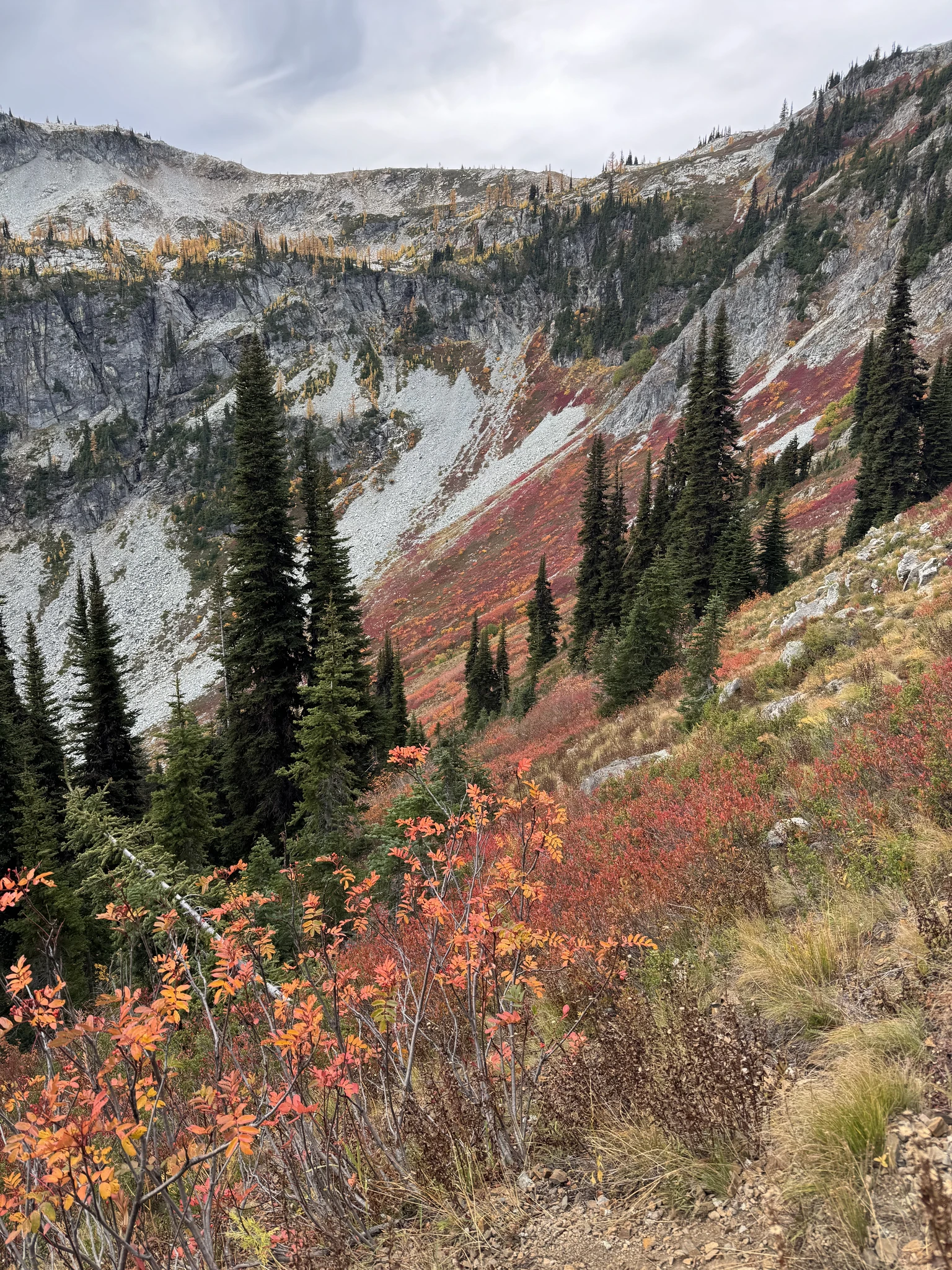
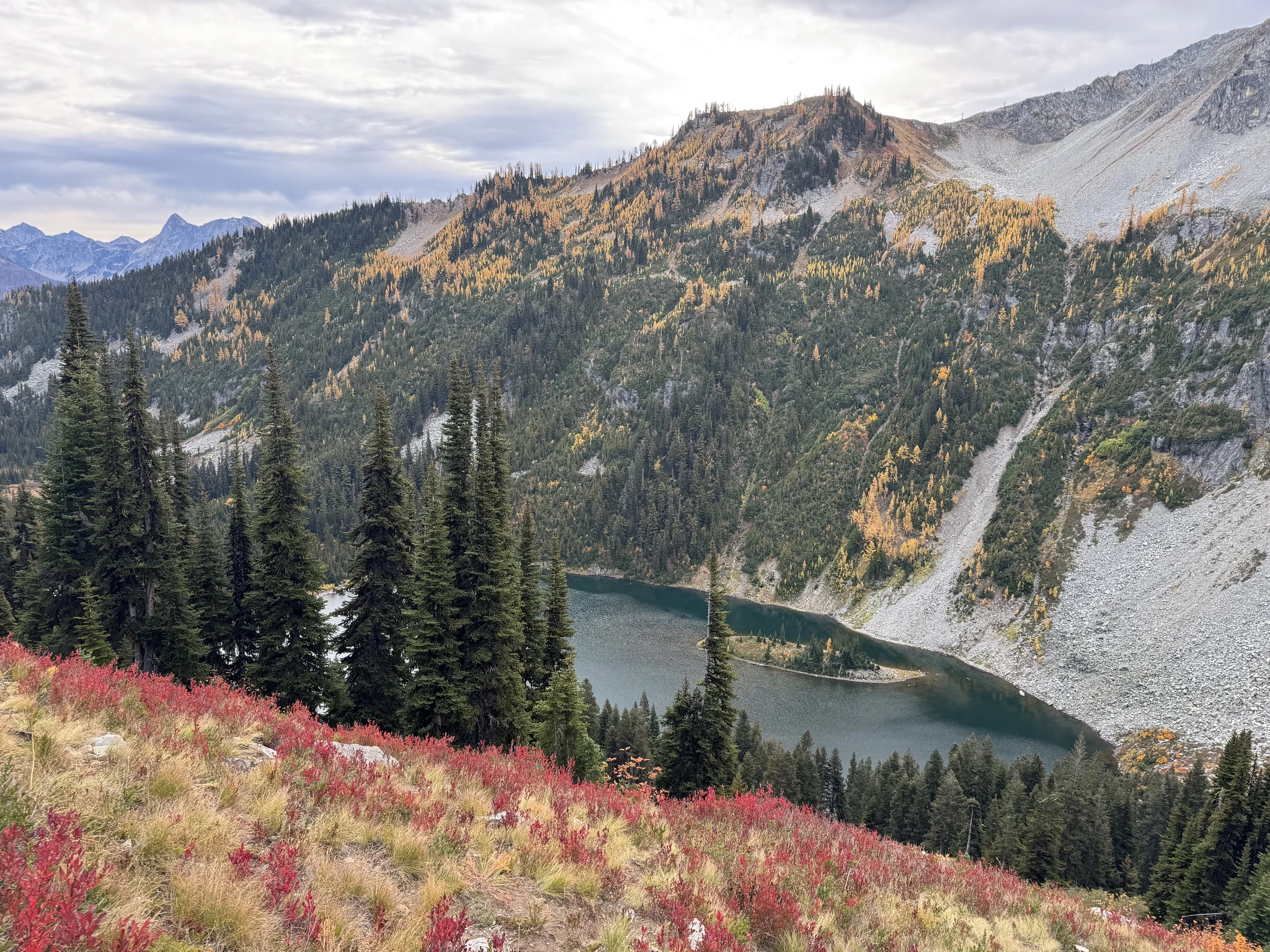
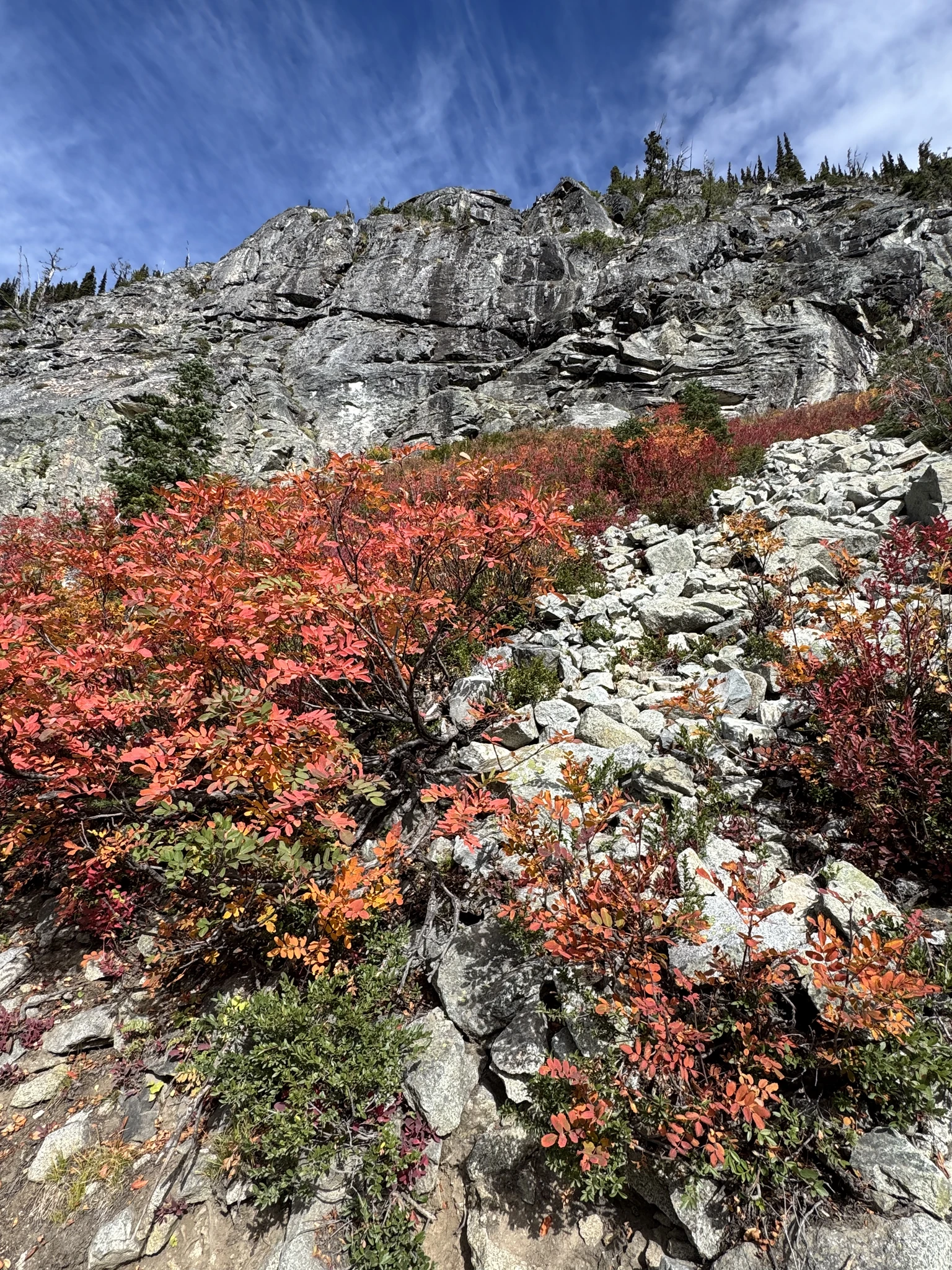
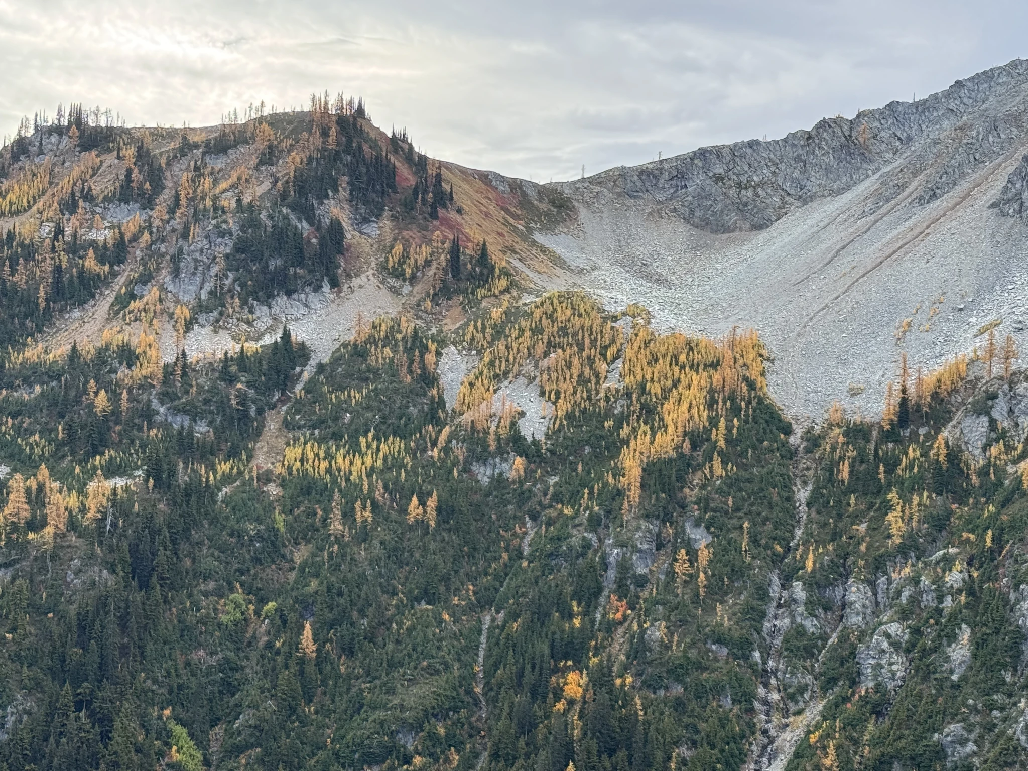
Taking pictures of this area from a distance. I didn’t realize at the time that we would be getting up close to it eventually.
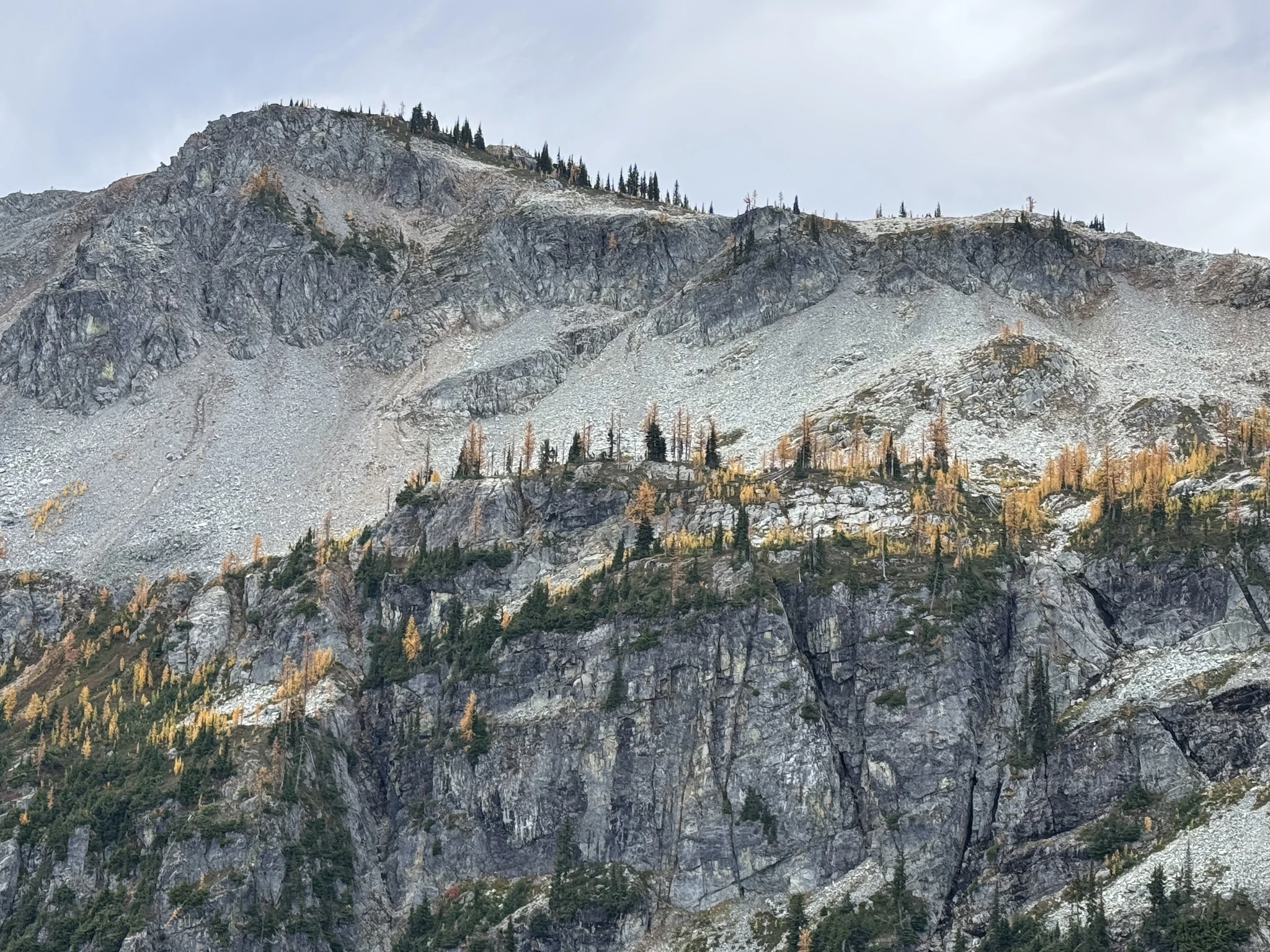
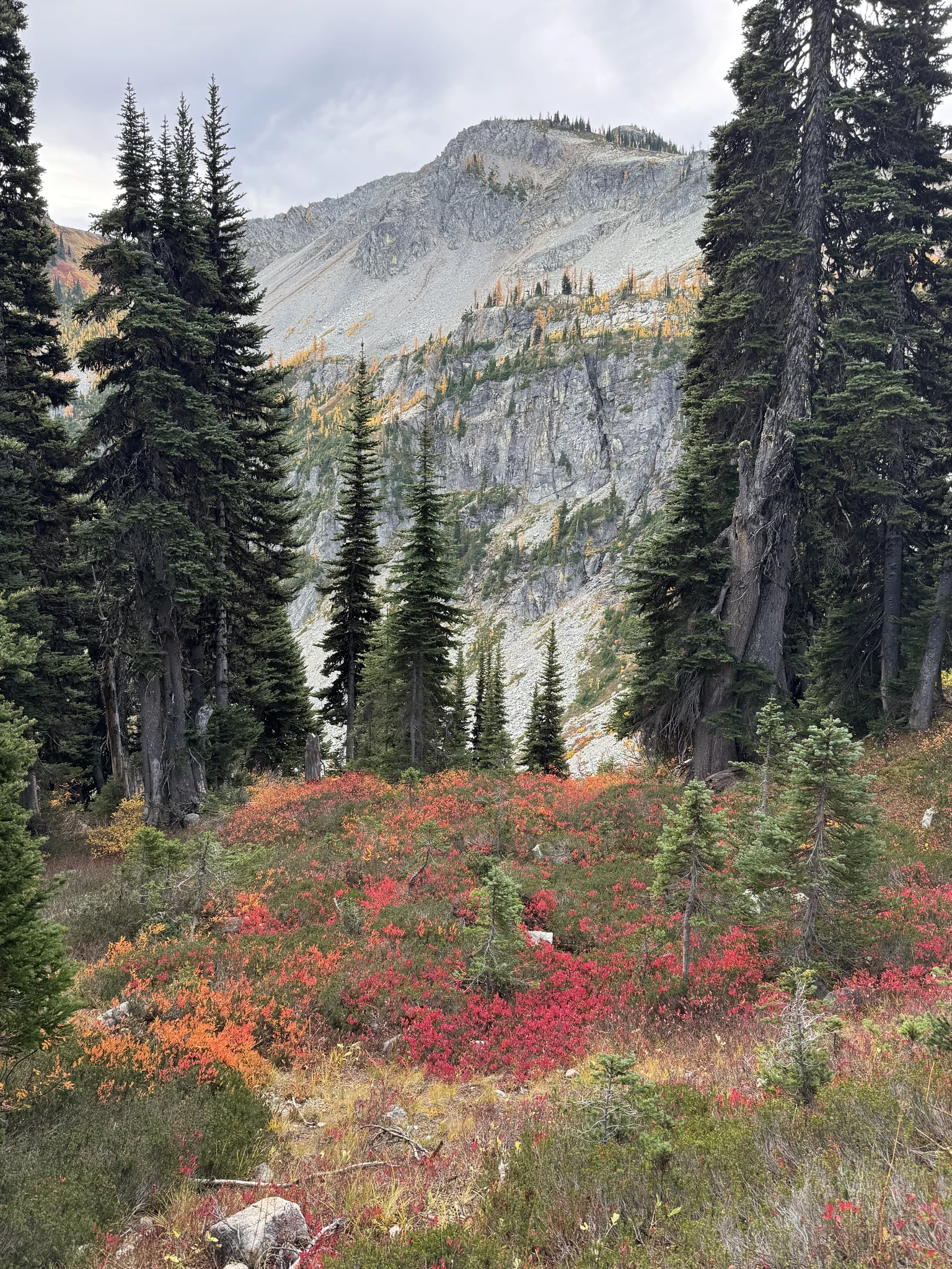
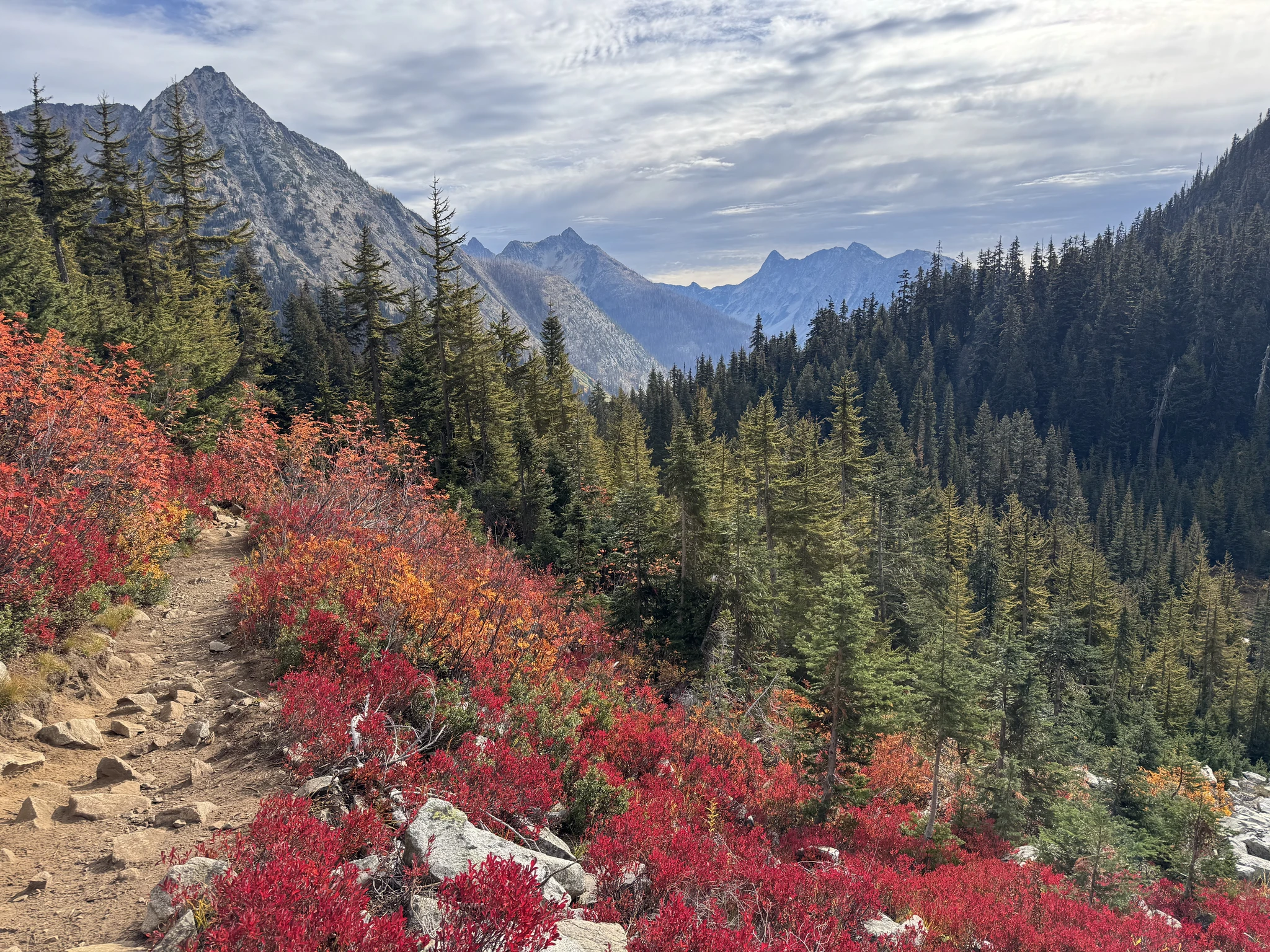
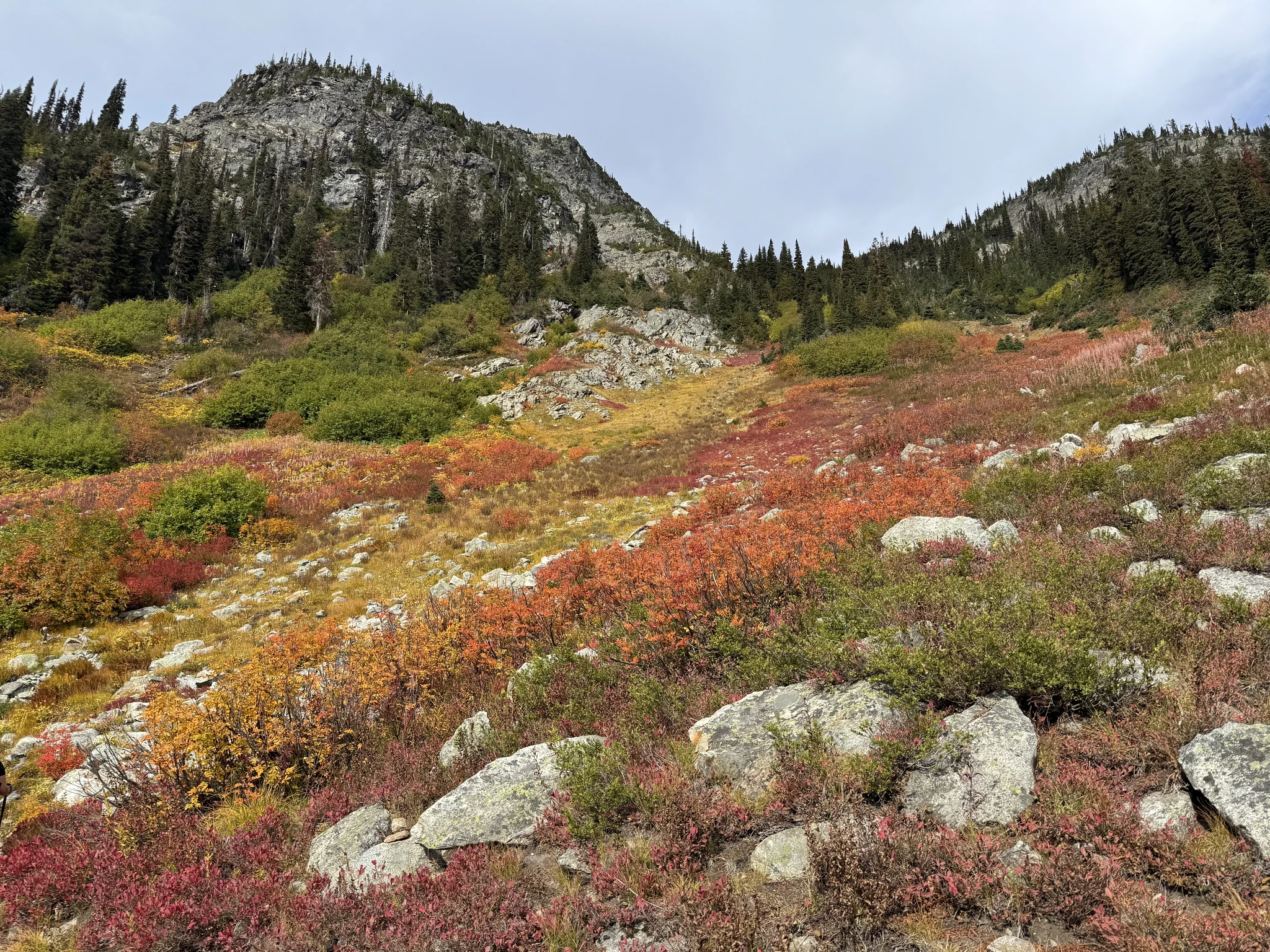
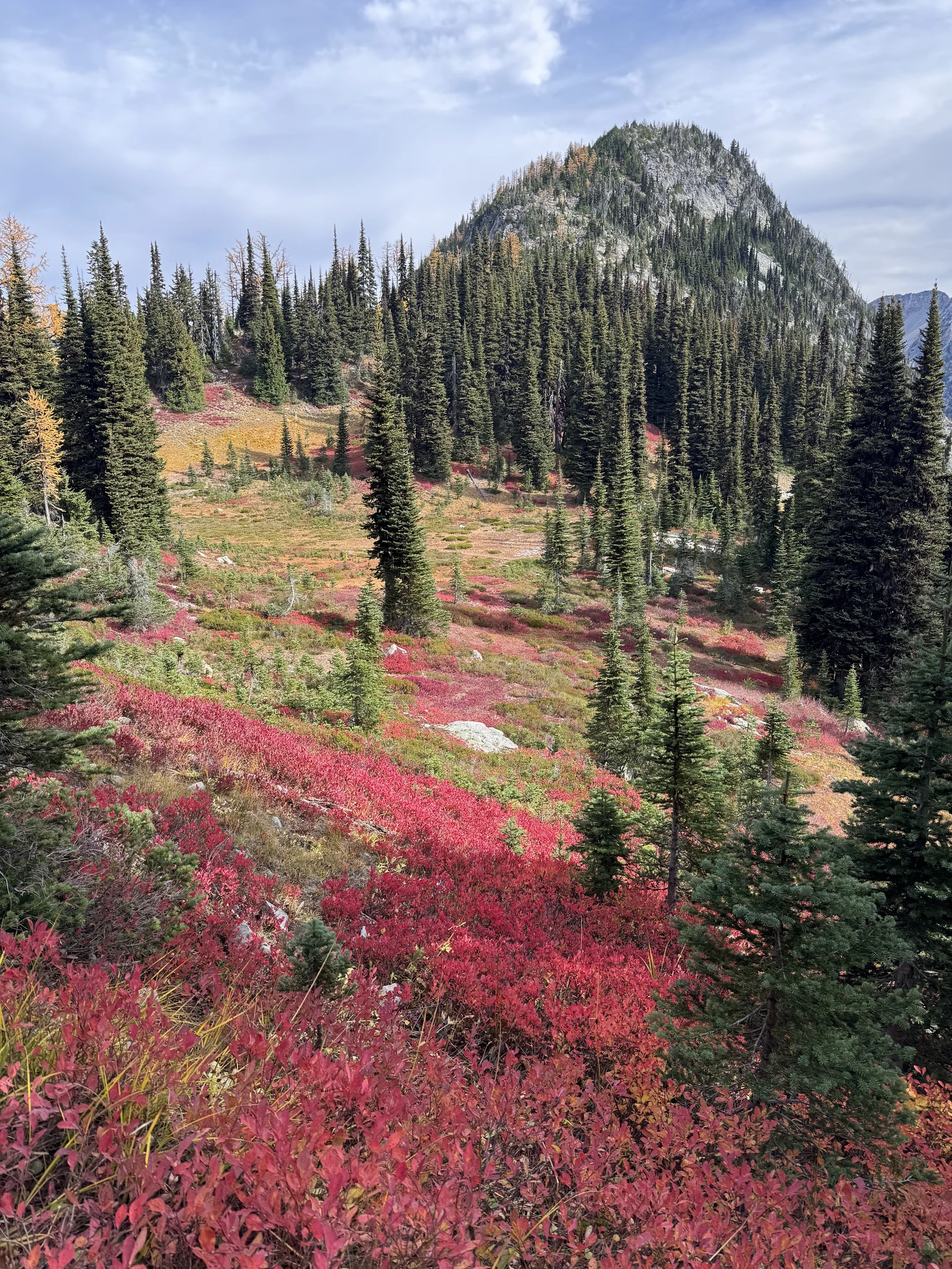
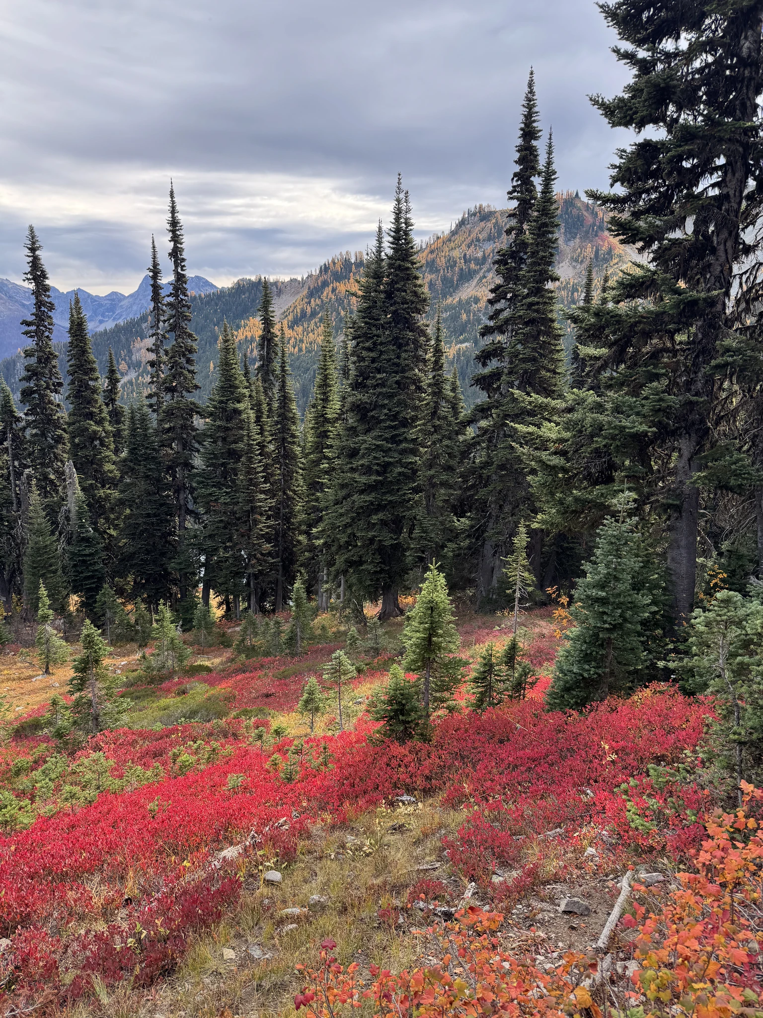
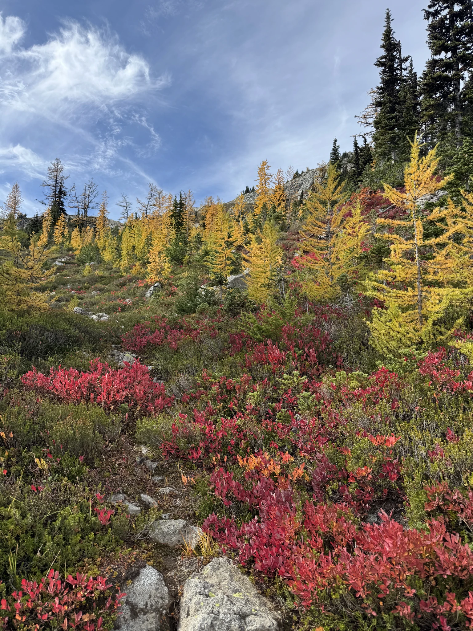
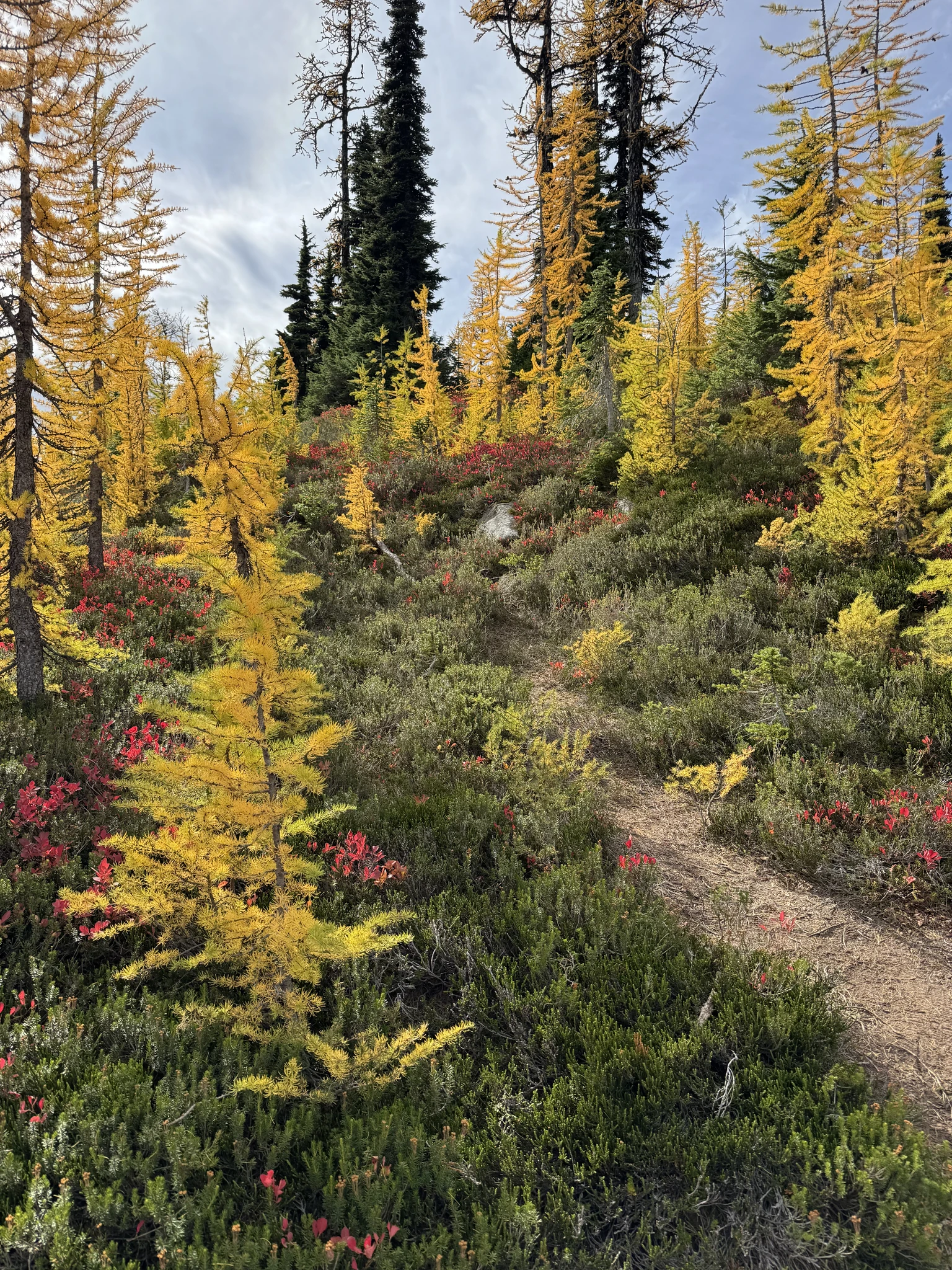
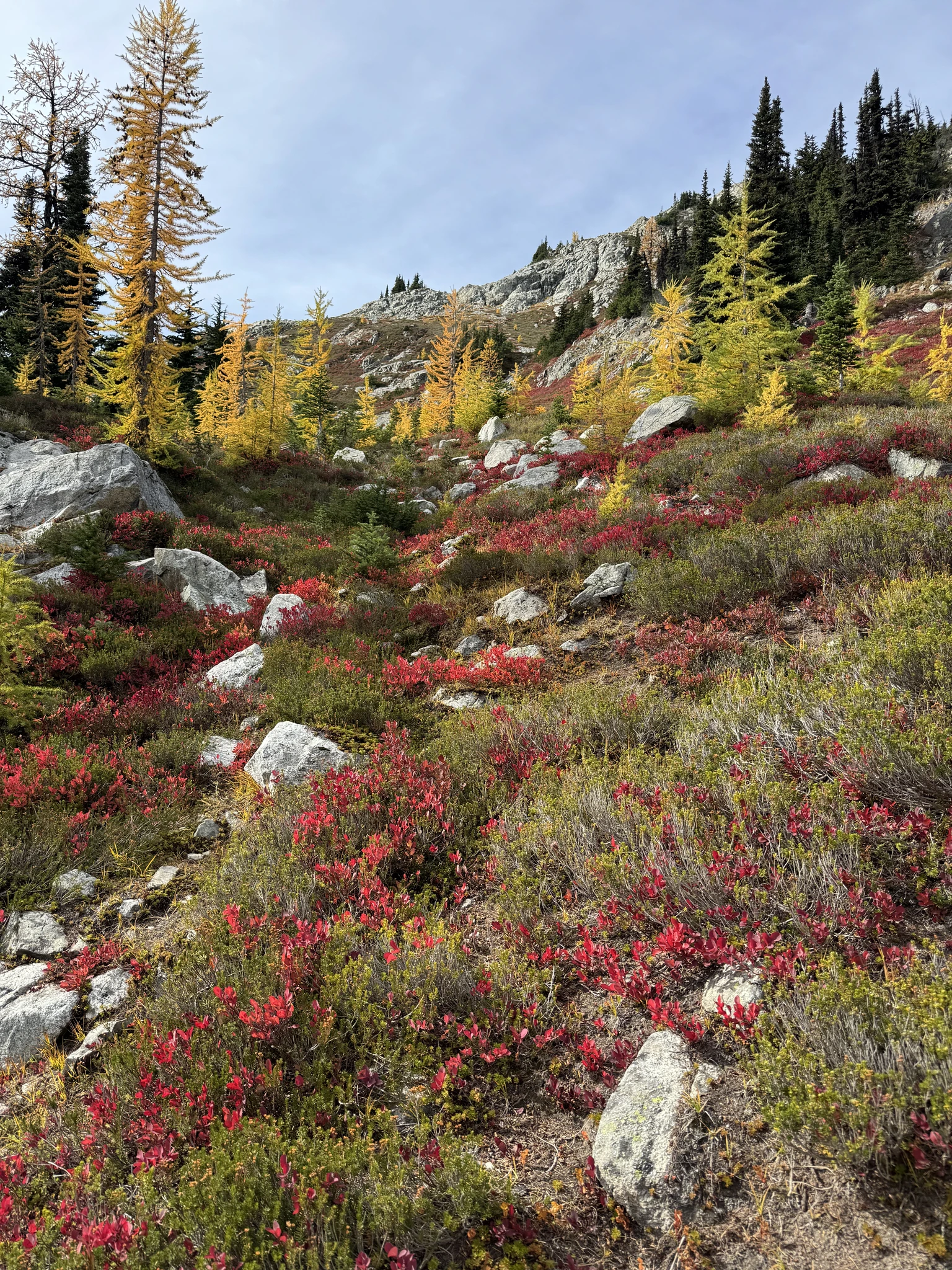
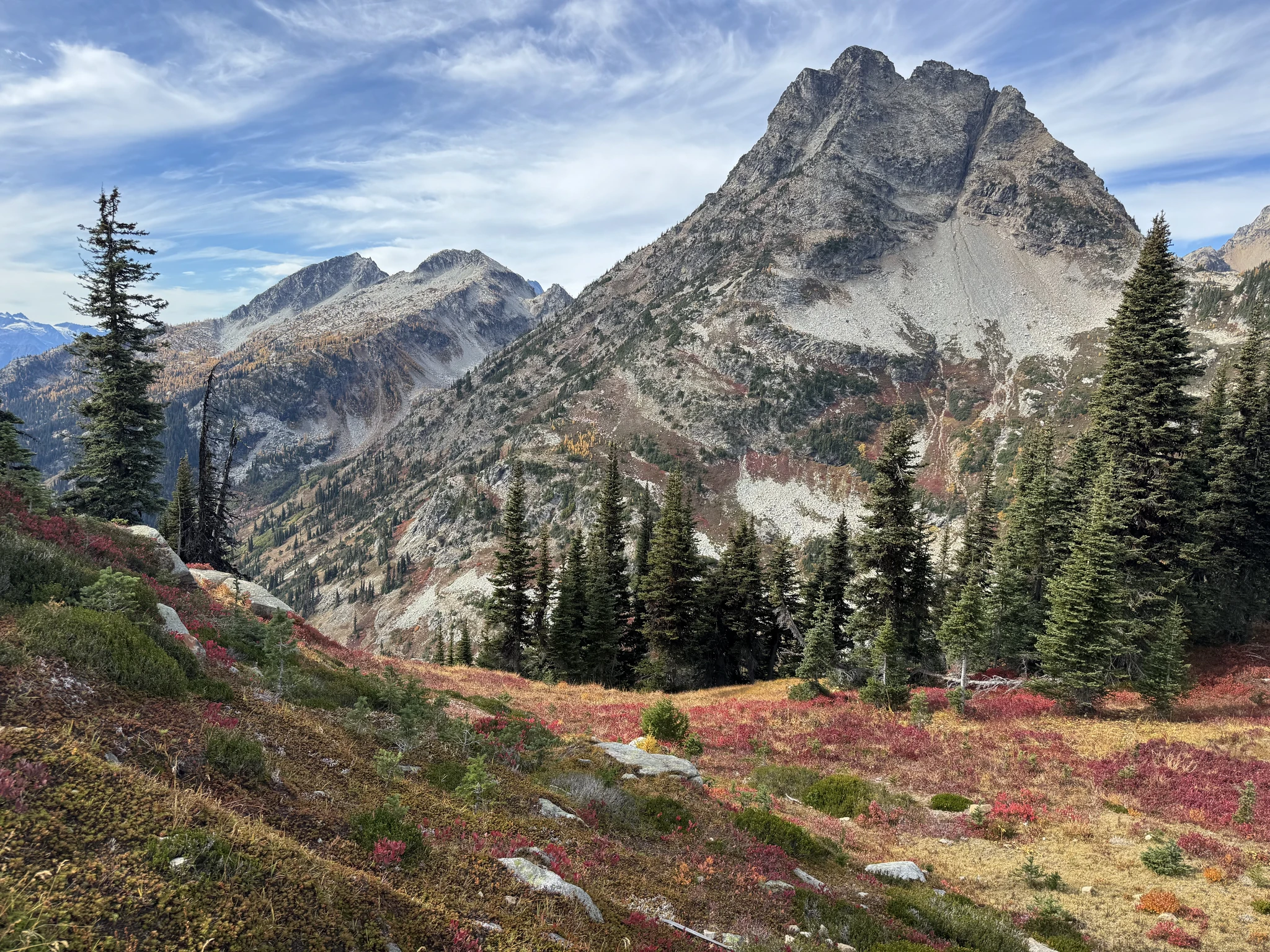
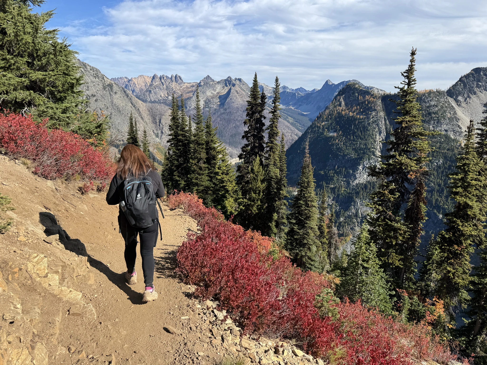
From this point on its color sensual overload with bright reds, oranges and yellows.
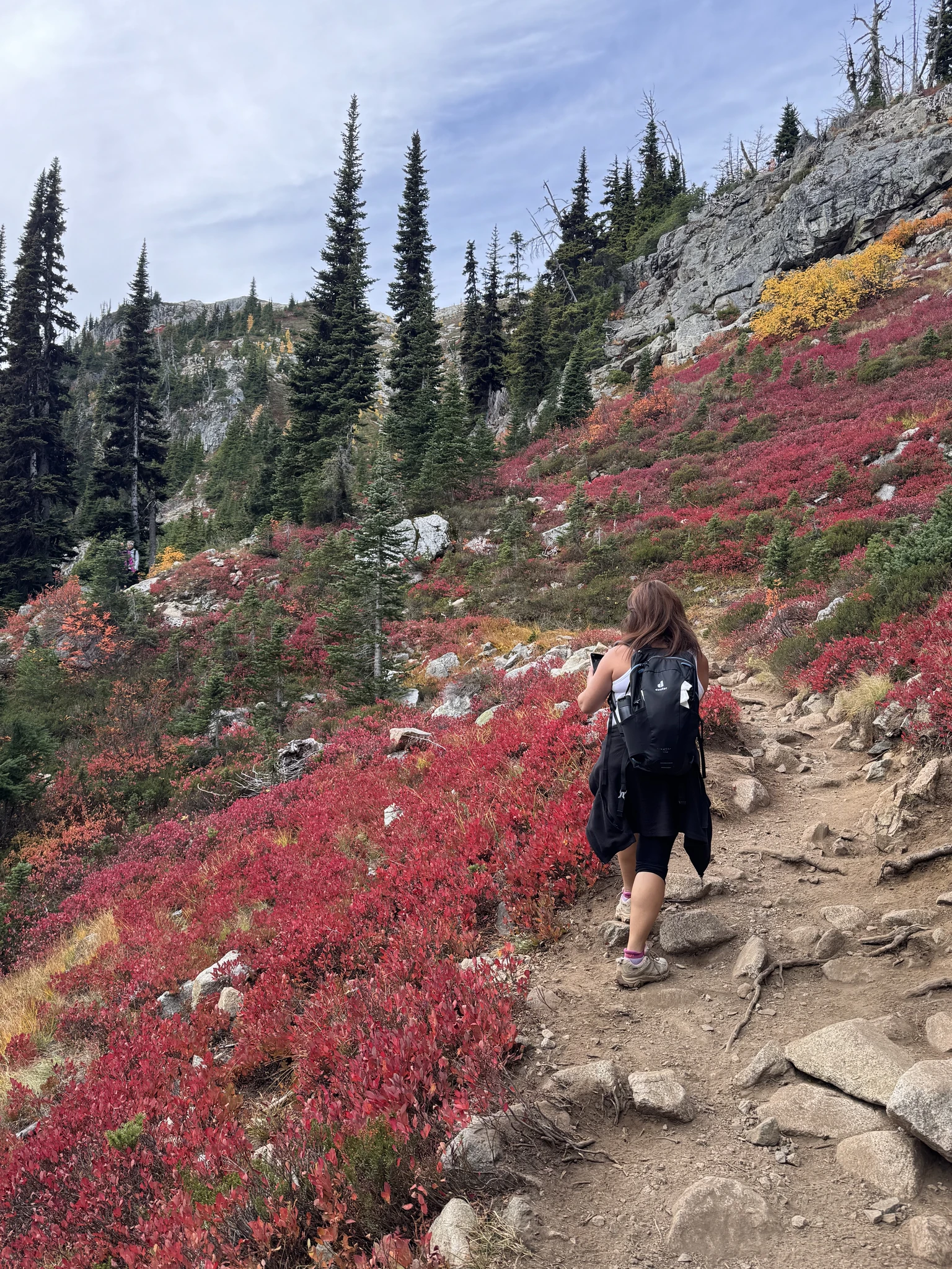
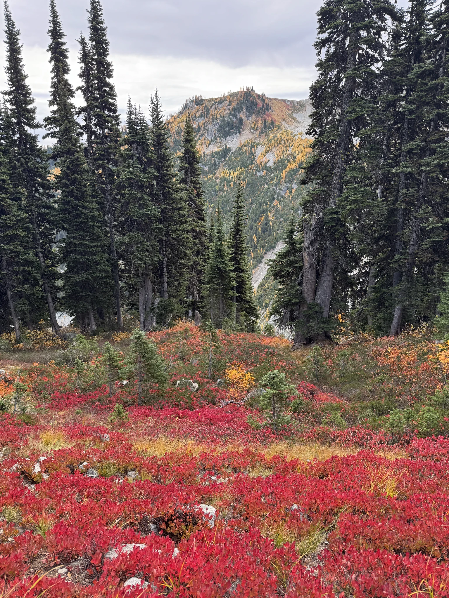
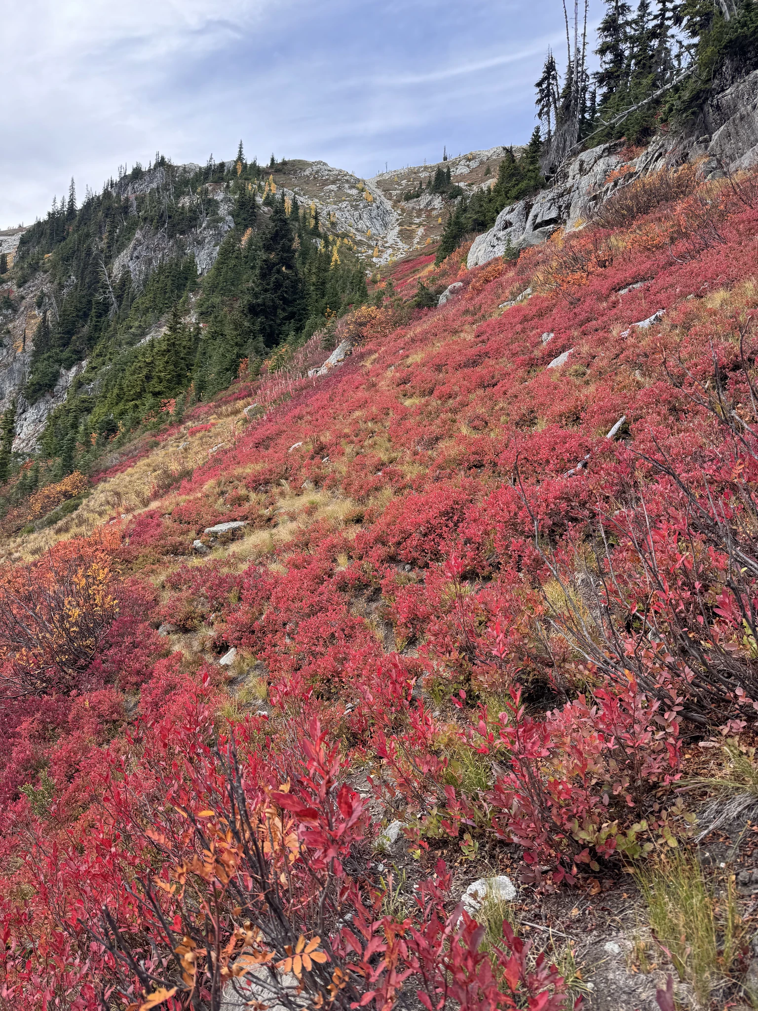
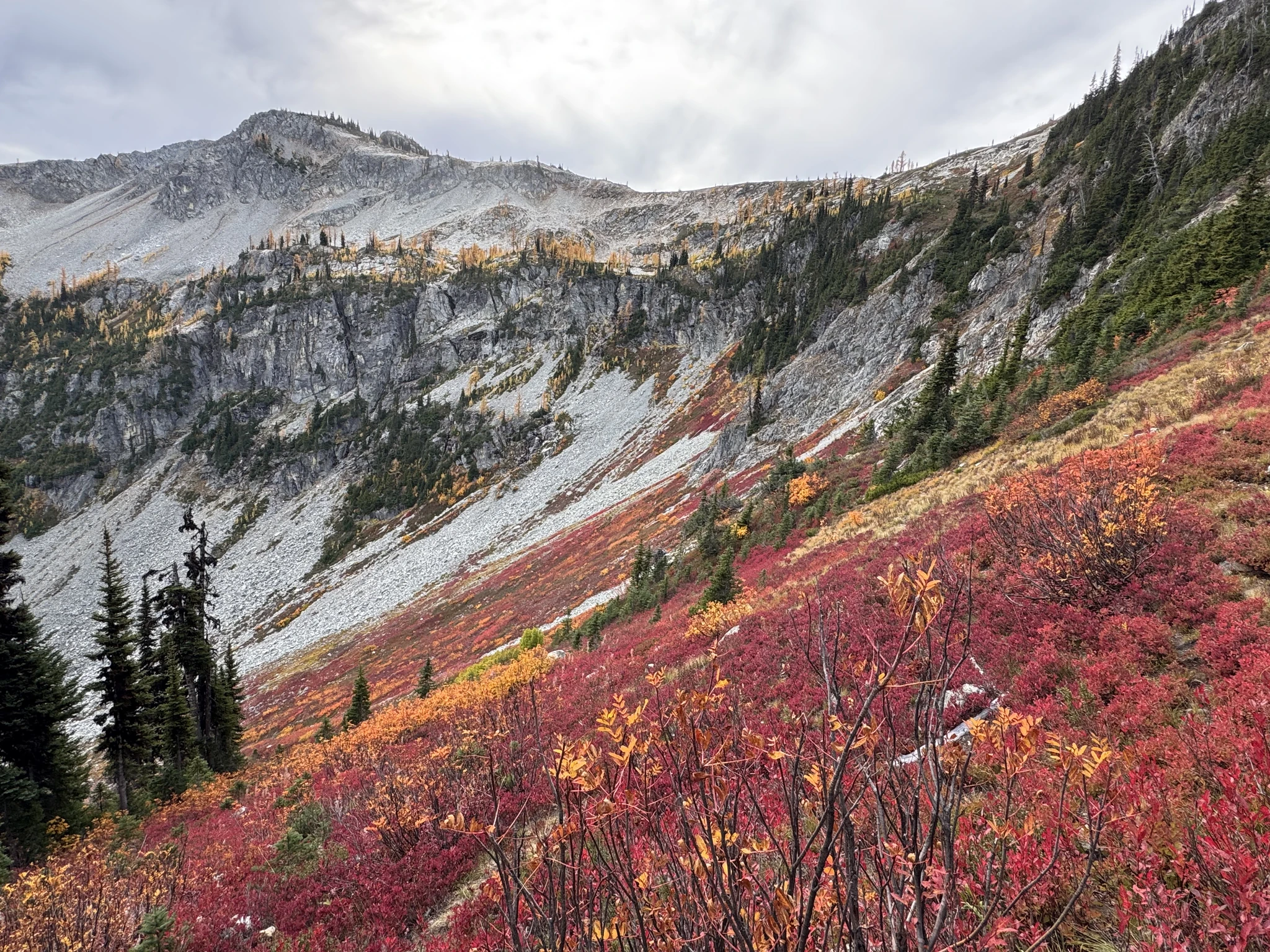
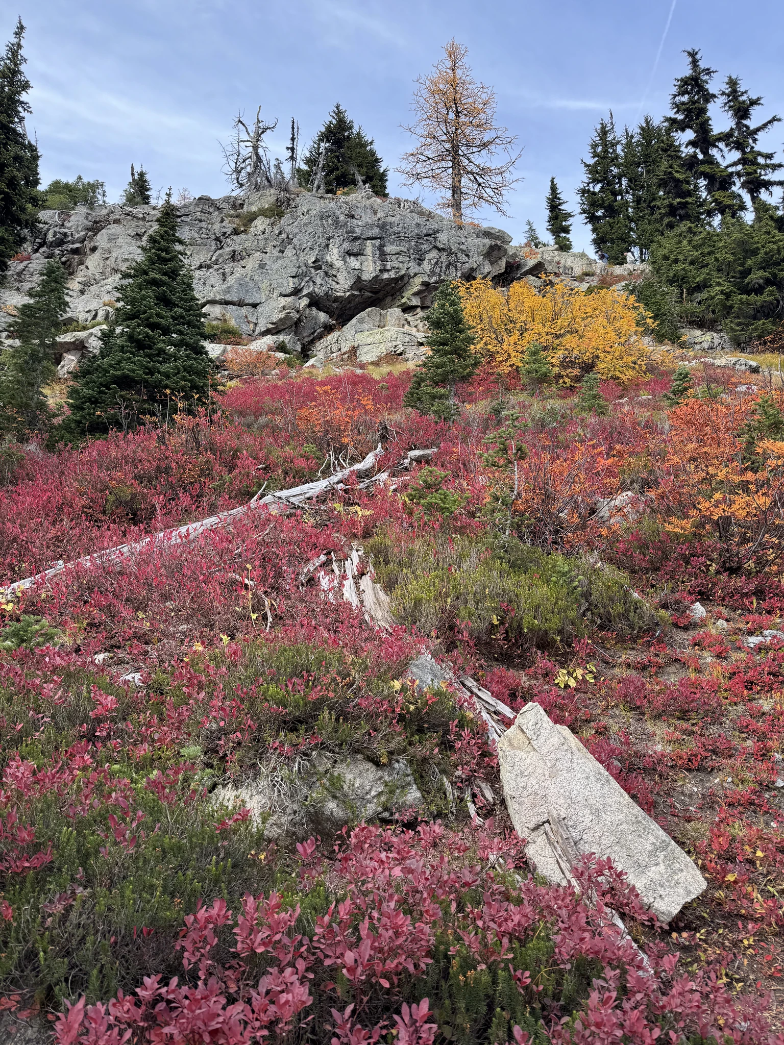
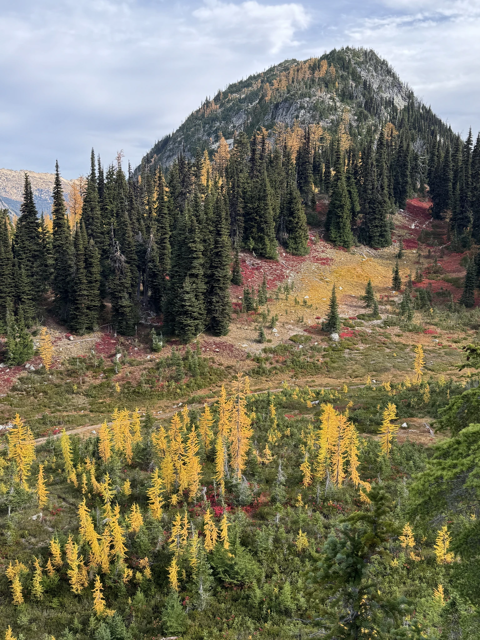
This mound and other land objects within the scenery will end up in multiple photos as often our location along the hike reveals more interesting views.
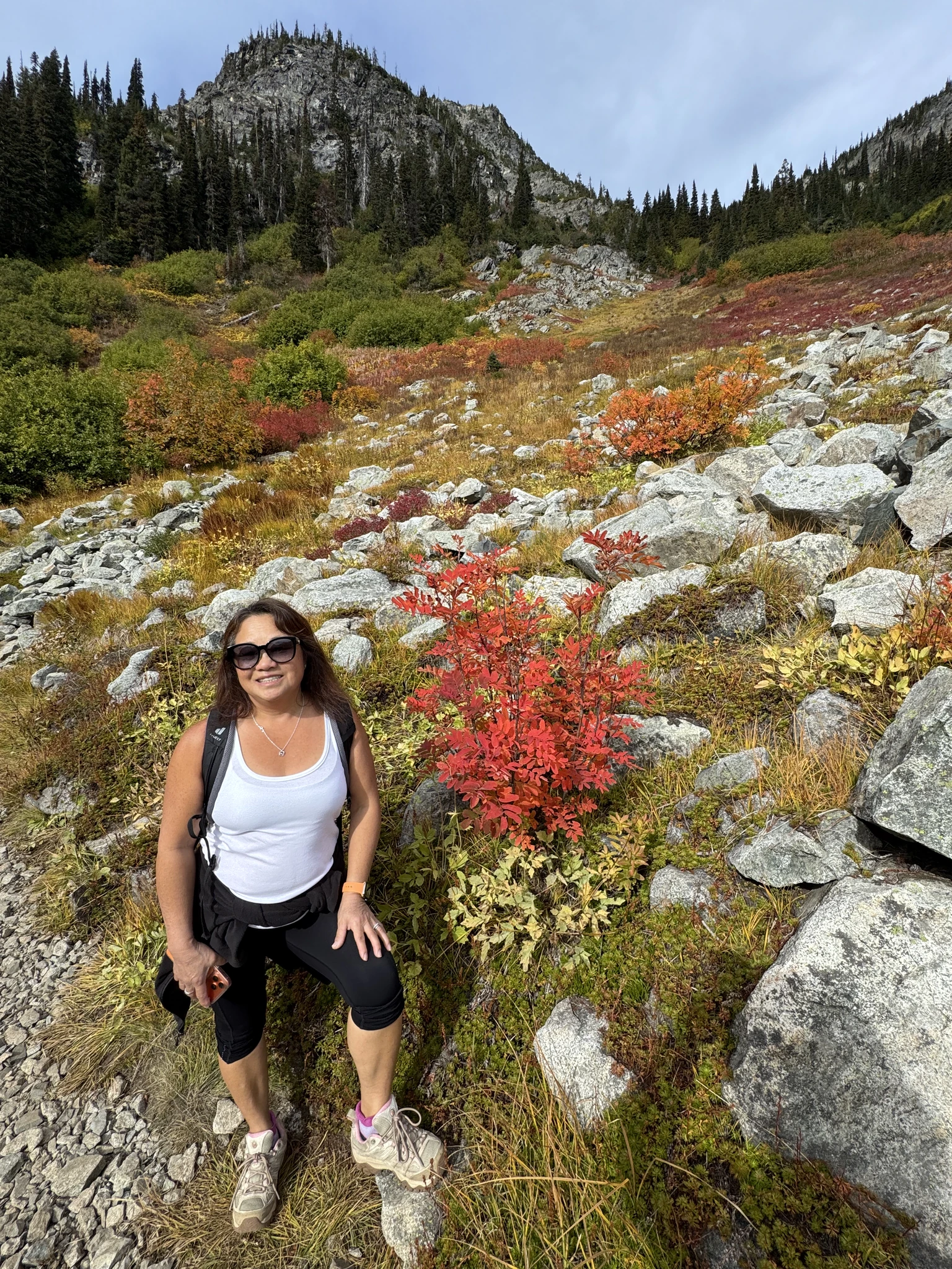
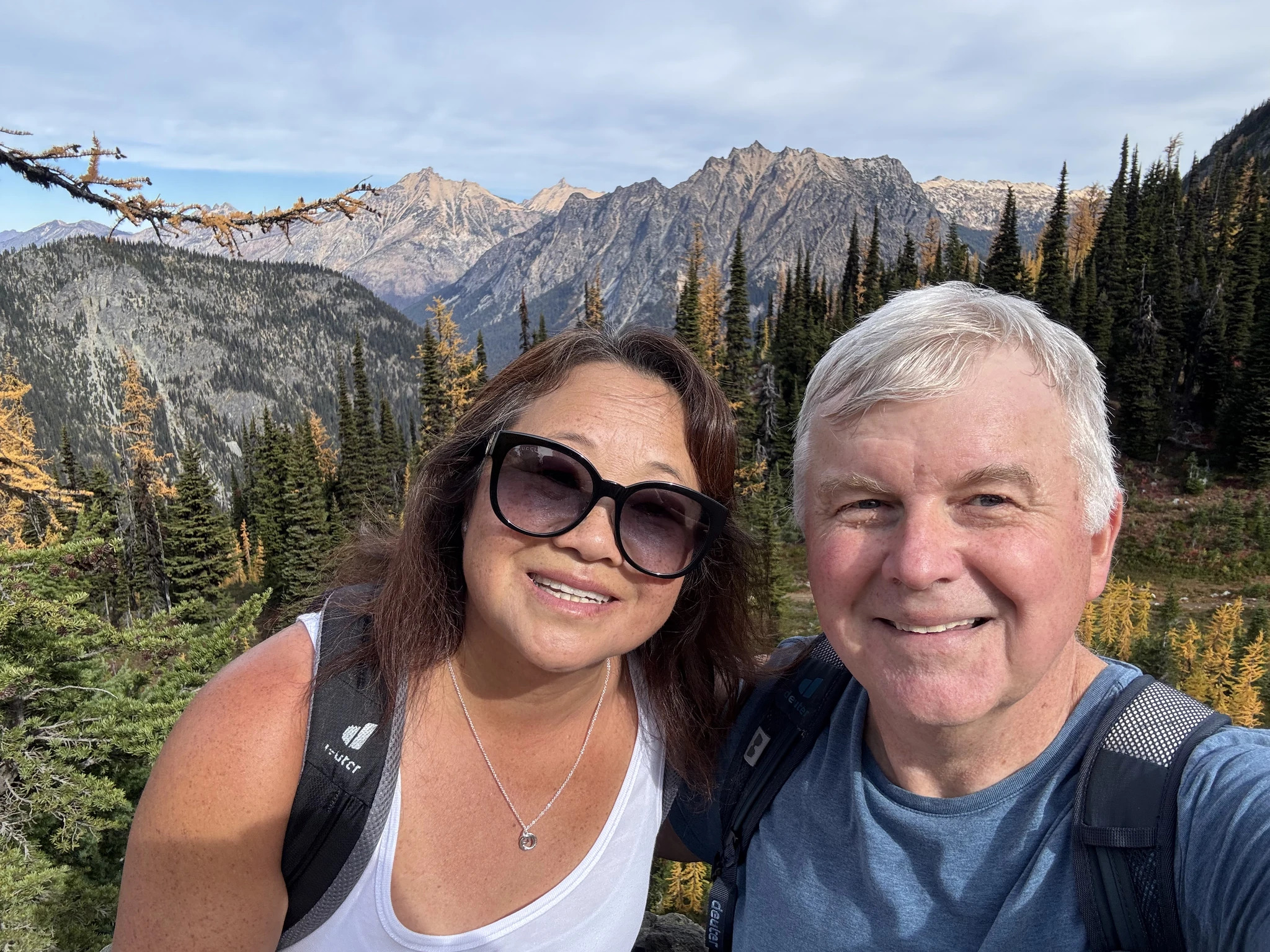
We take a selfie in this scenic area.
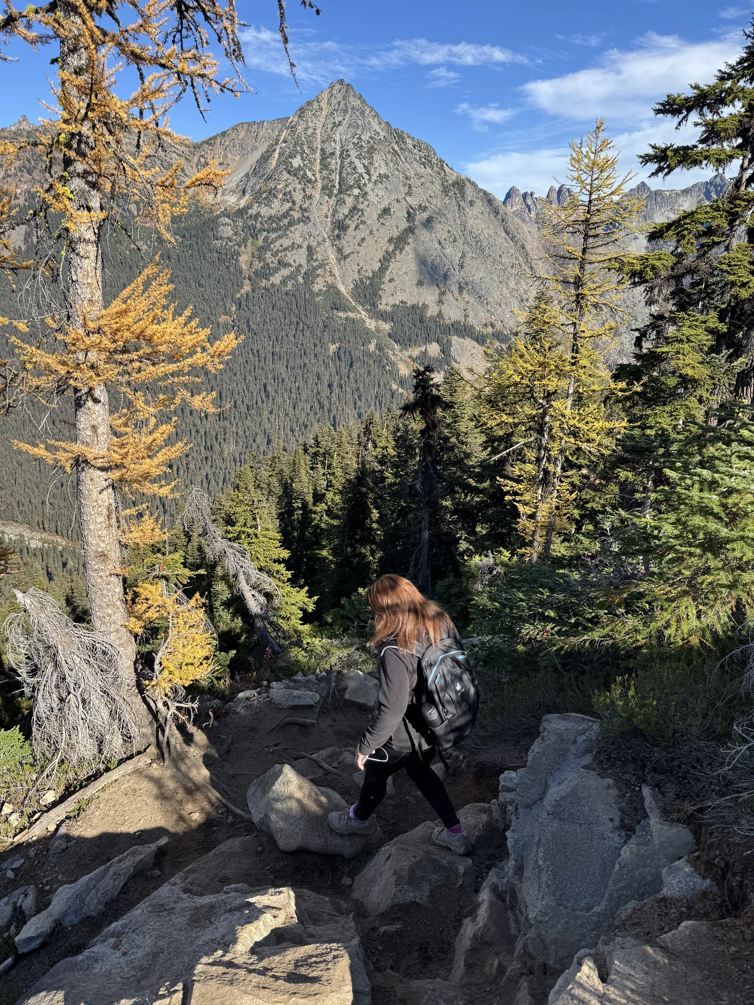
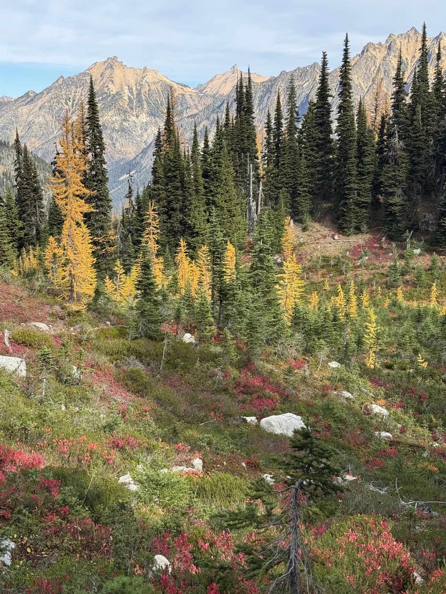
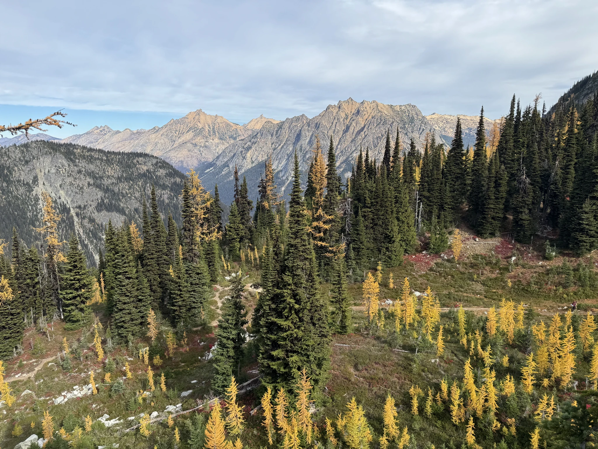
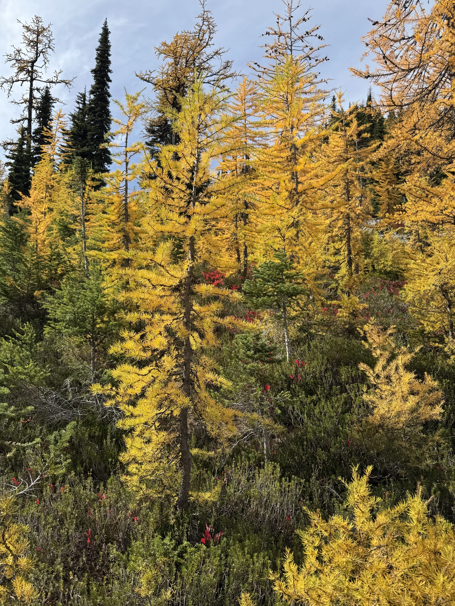
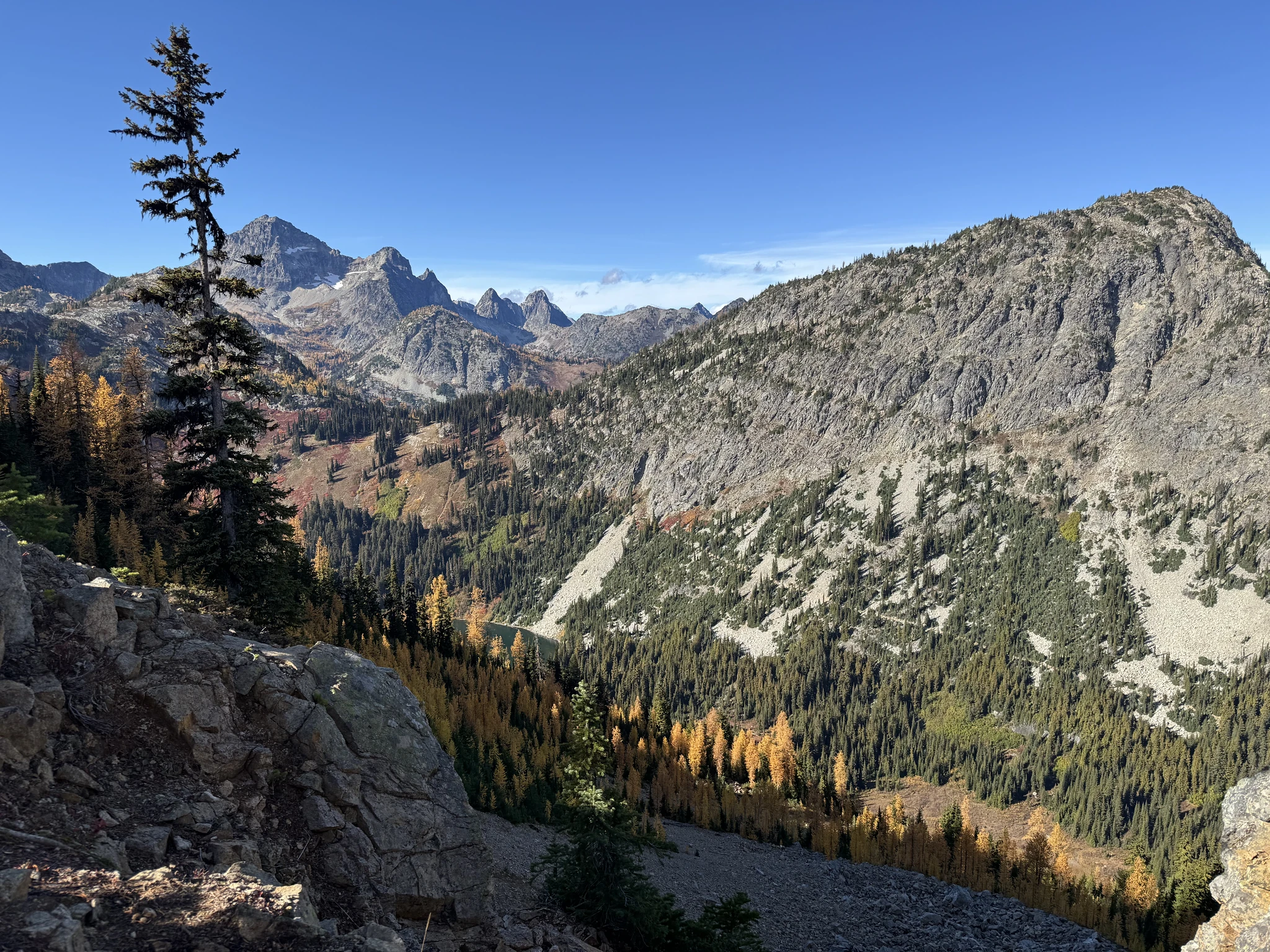
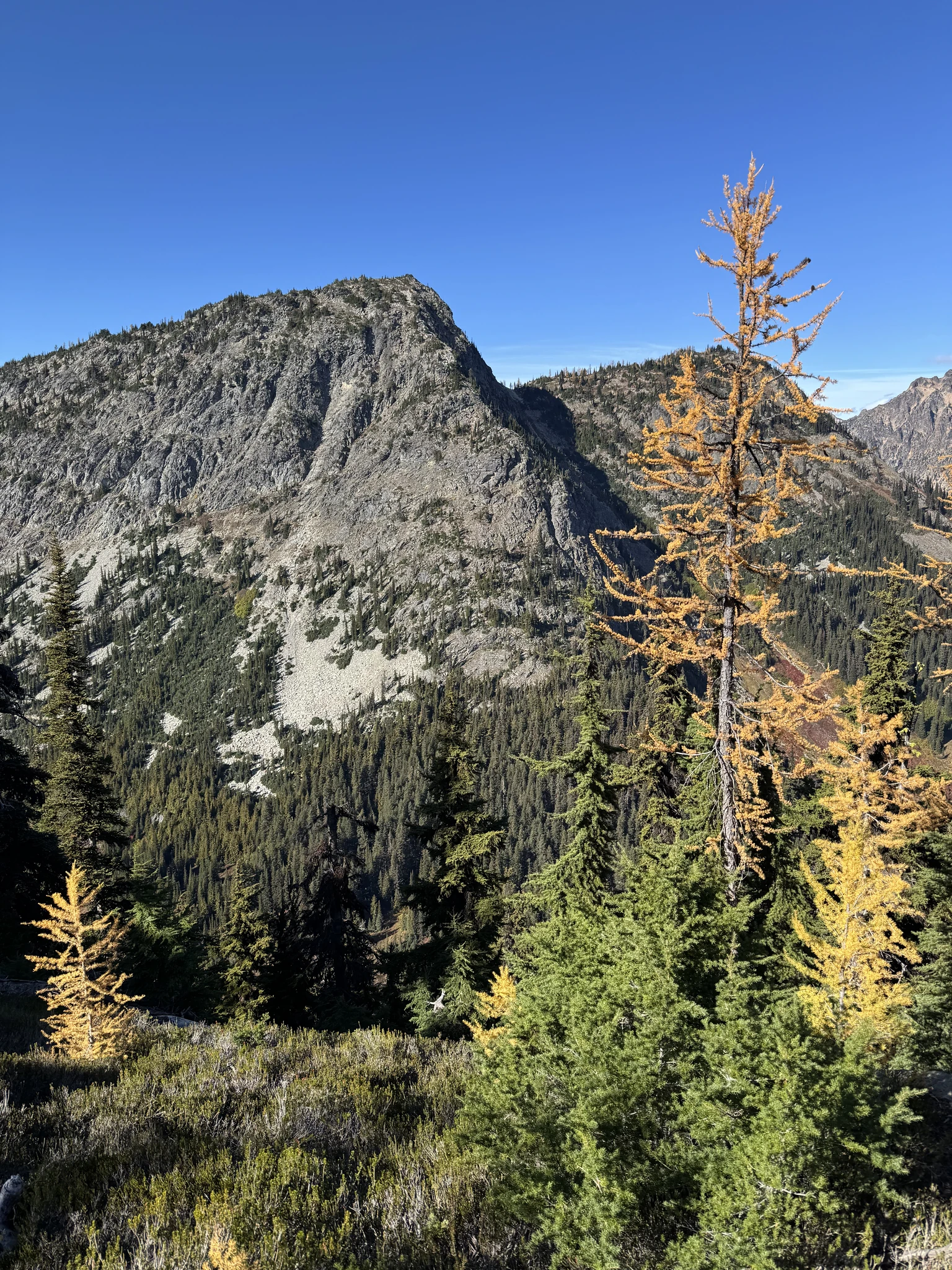
The larches look like trees of gold.
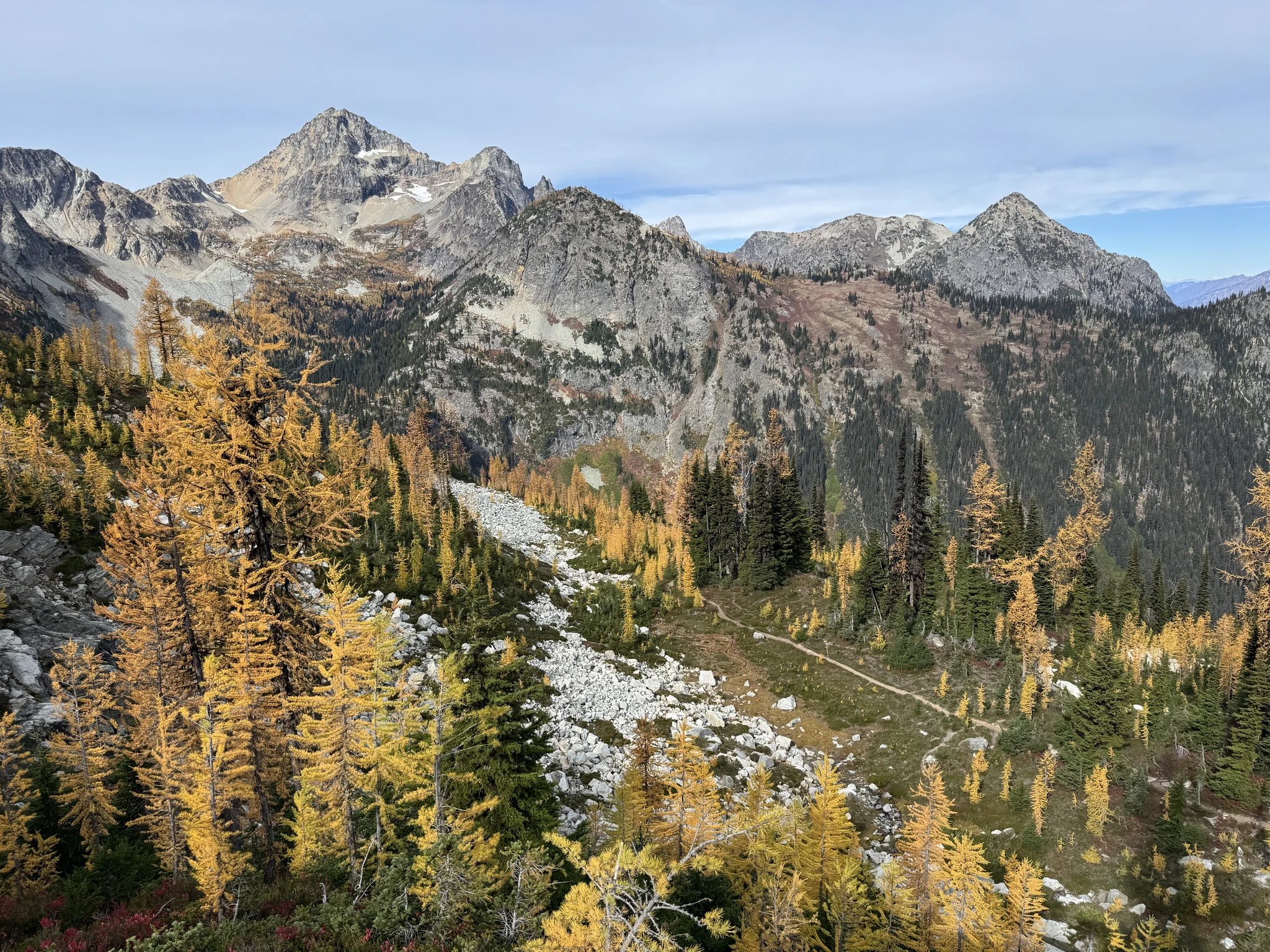
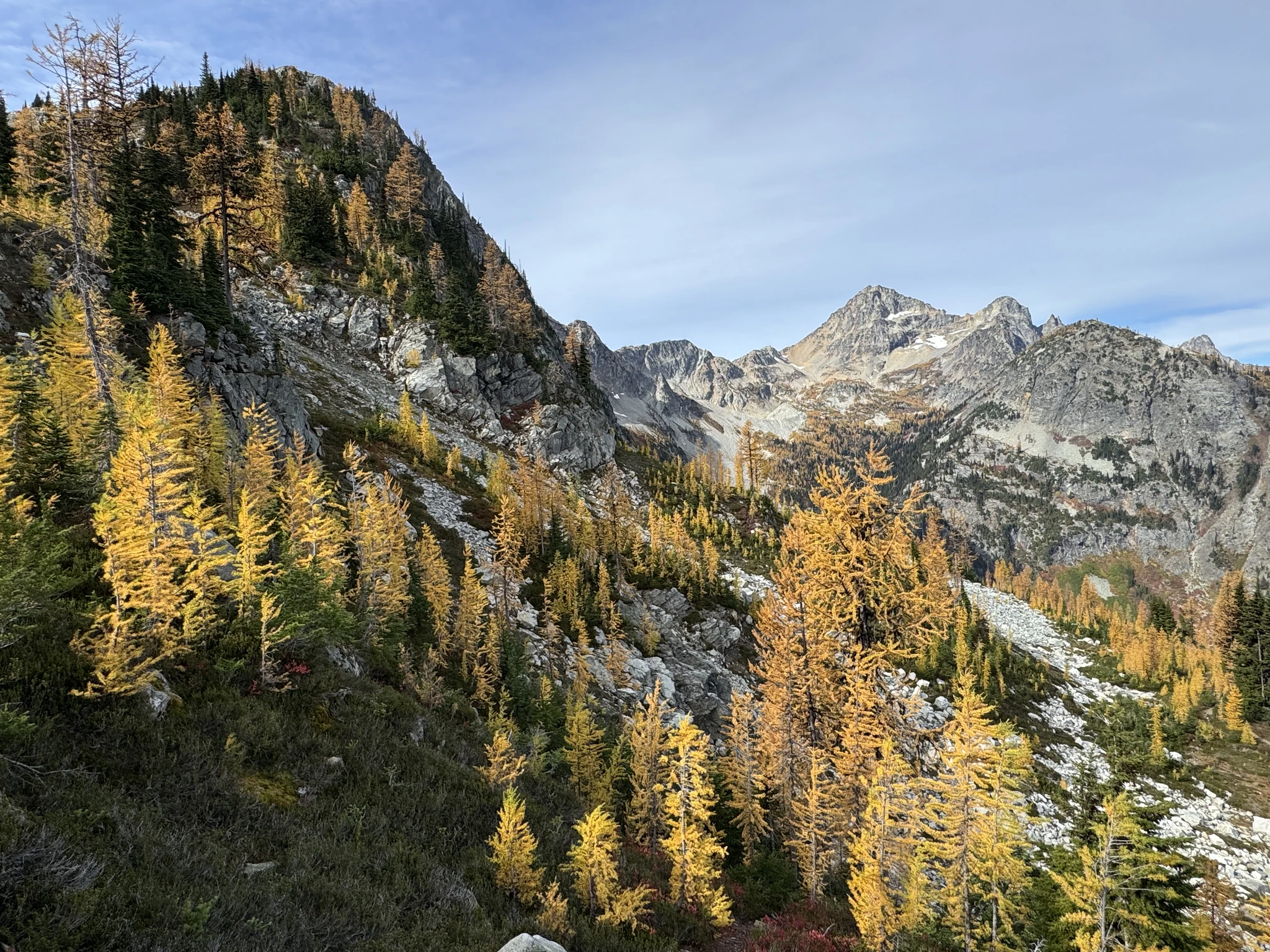
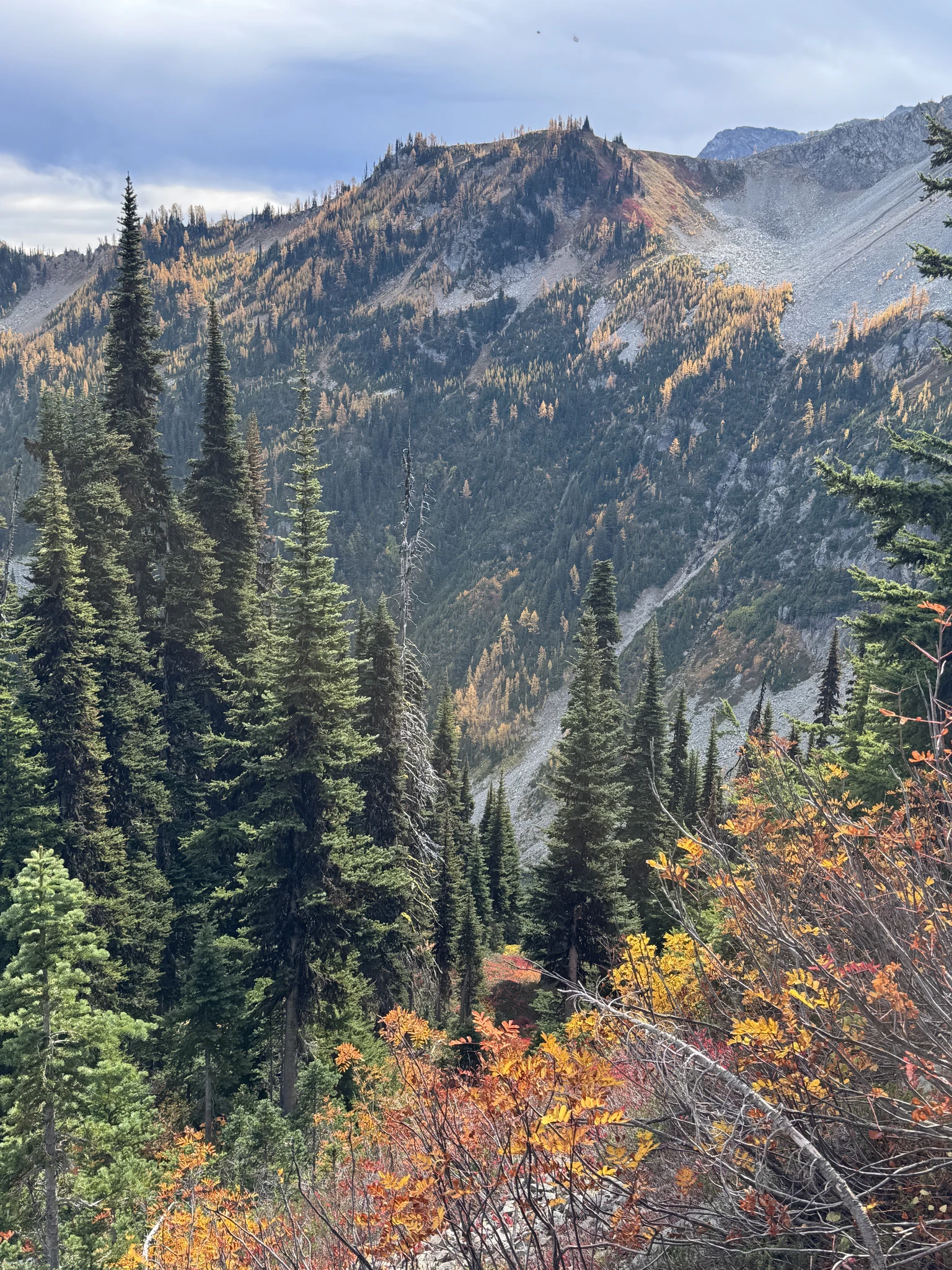
We continue hiking around the lake below.
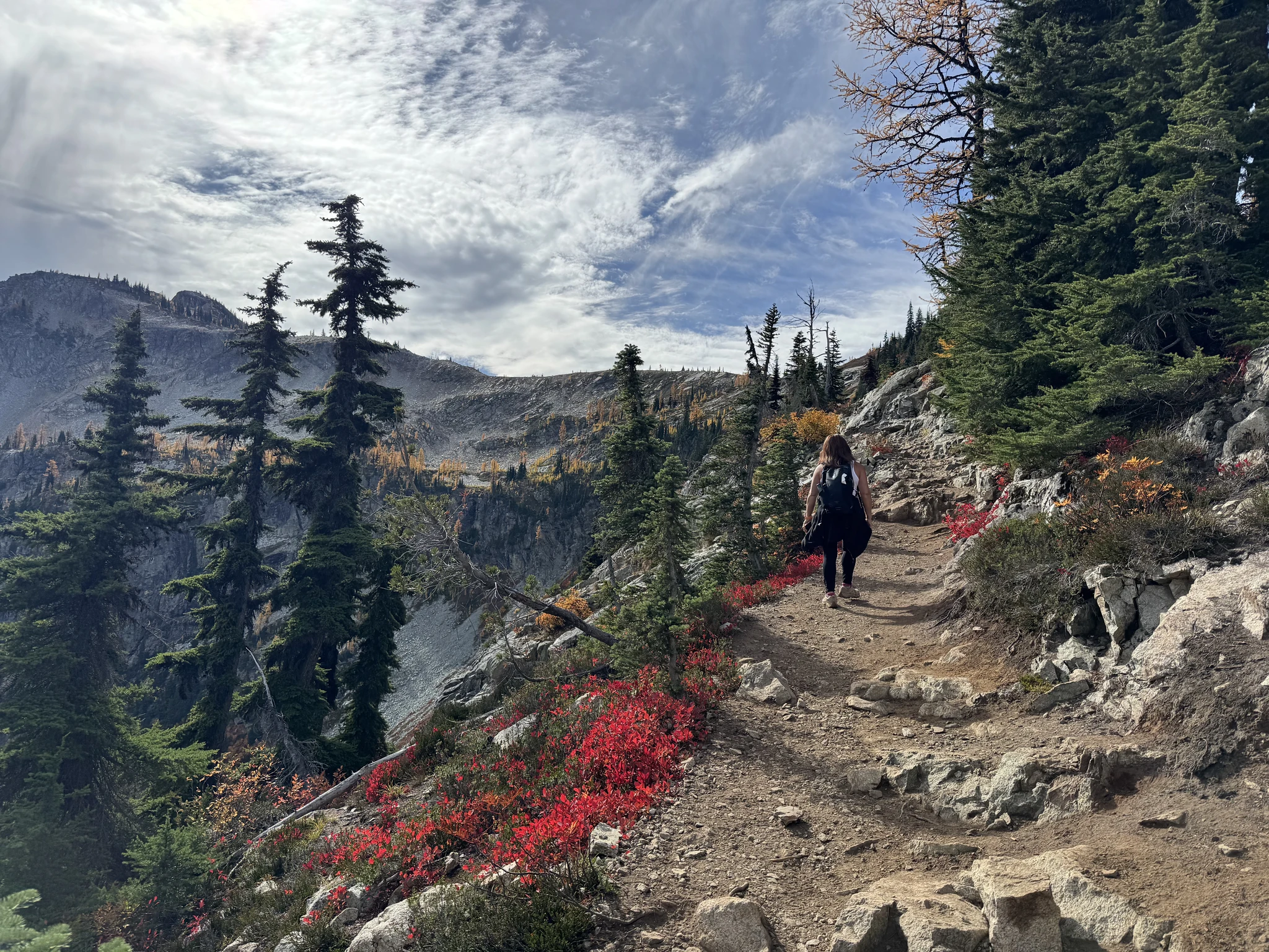
Out hiking progress is significantly slowed as we try to capture the beauty of the area in pictures.
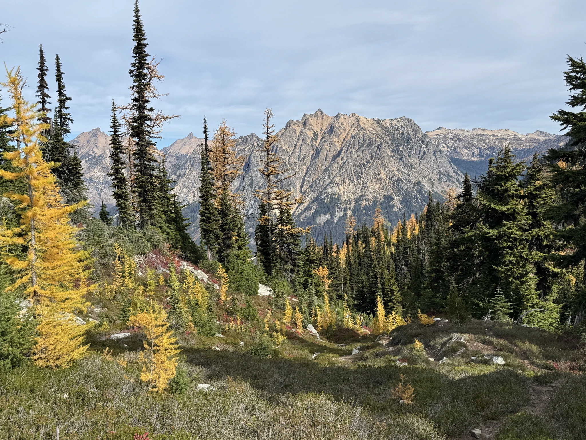
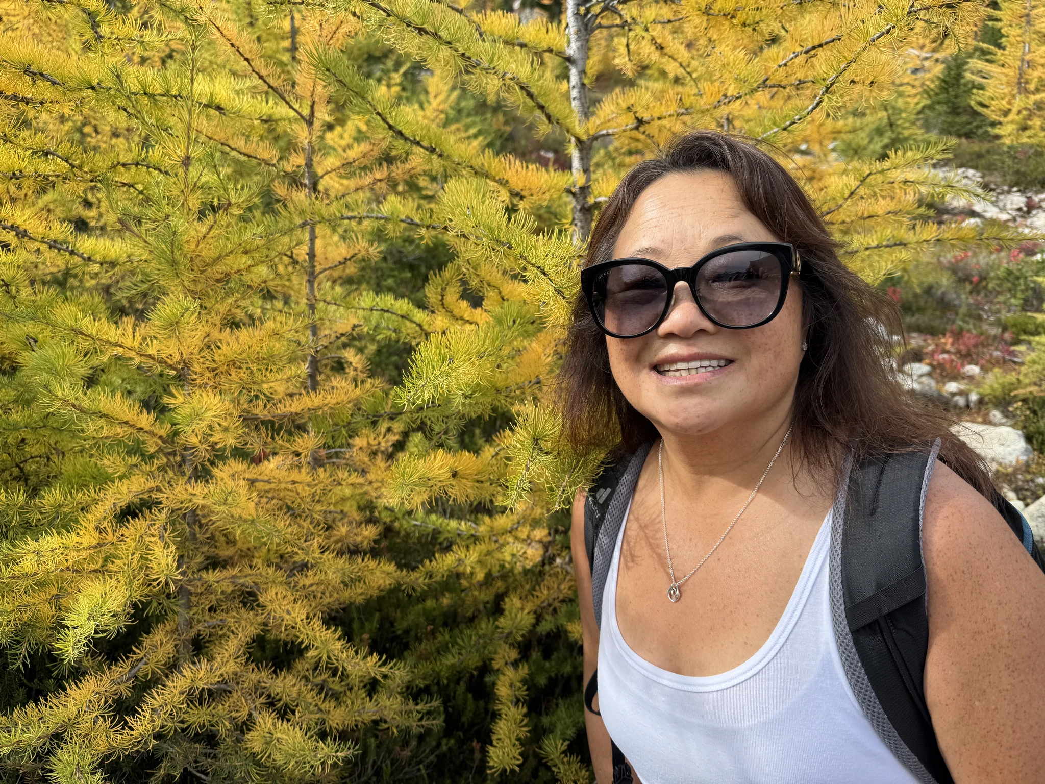
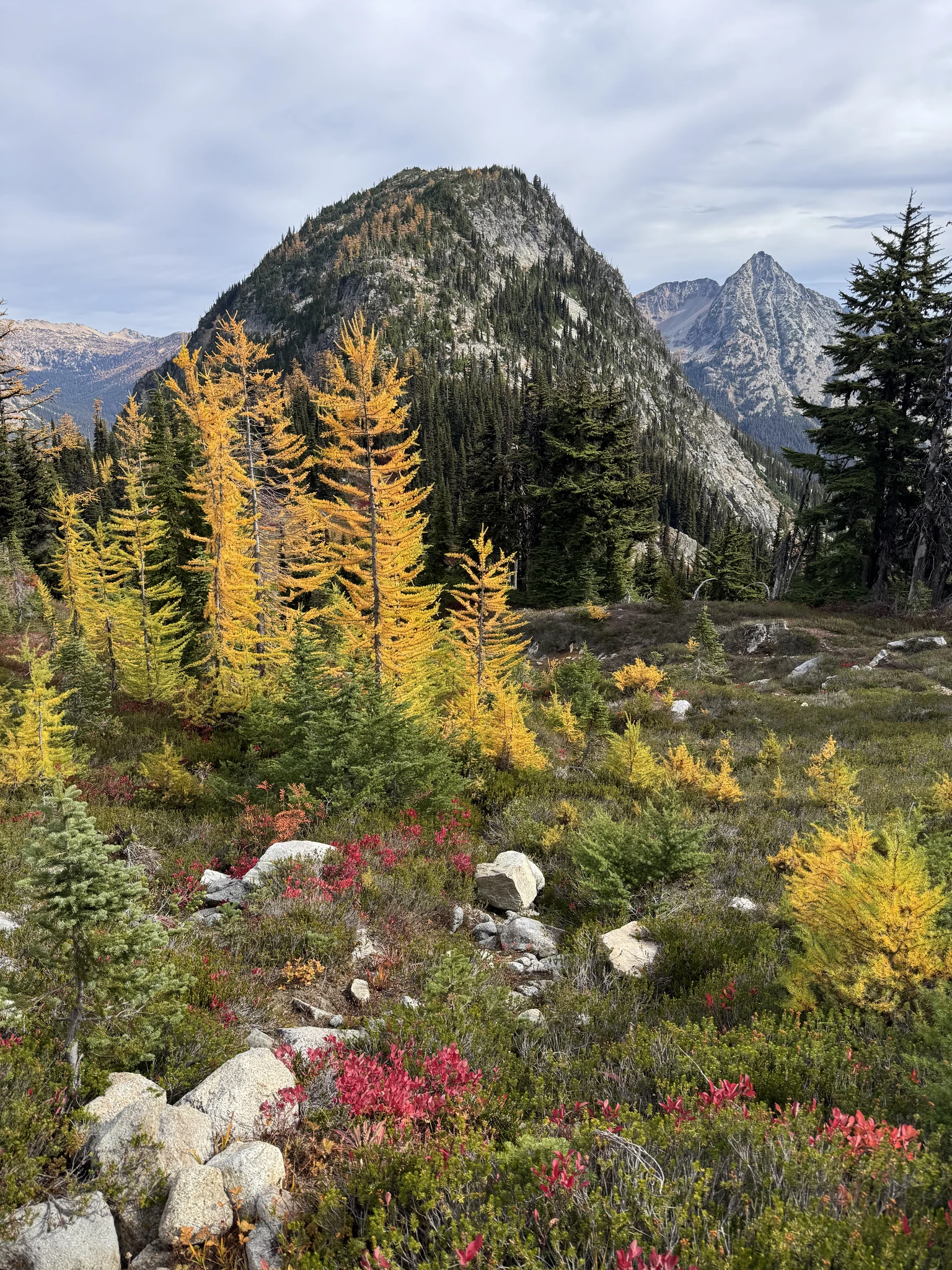
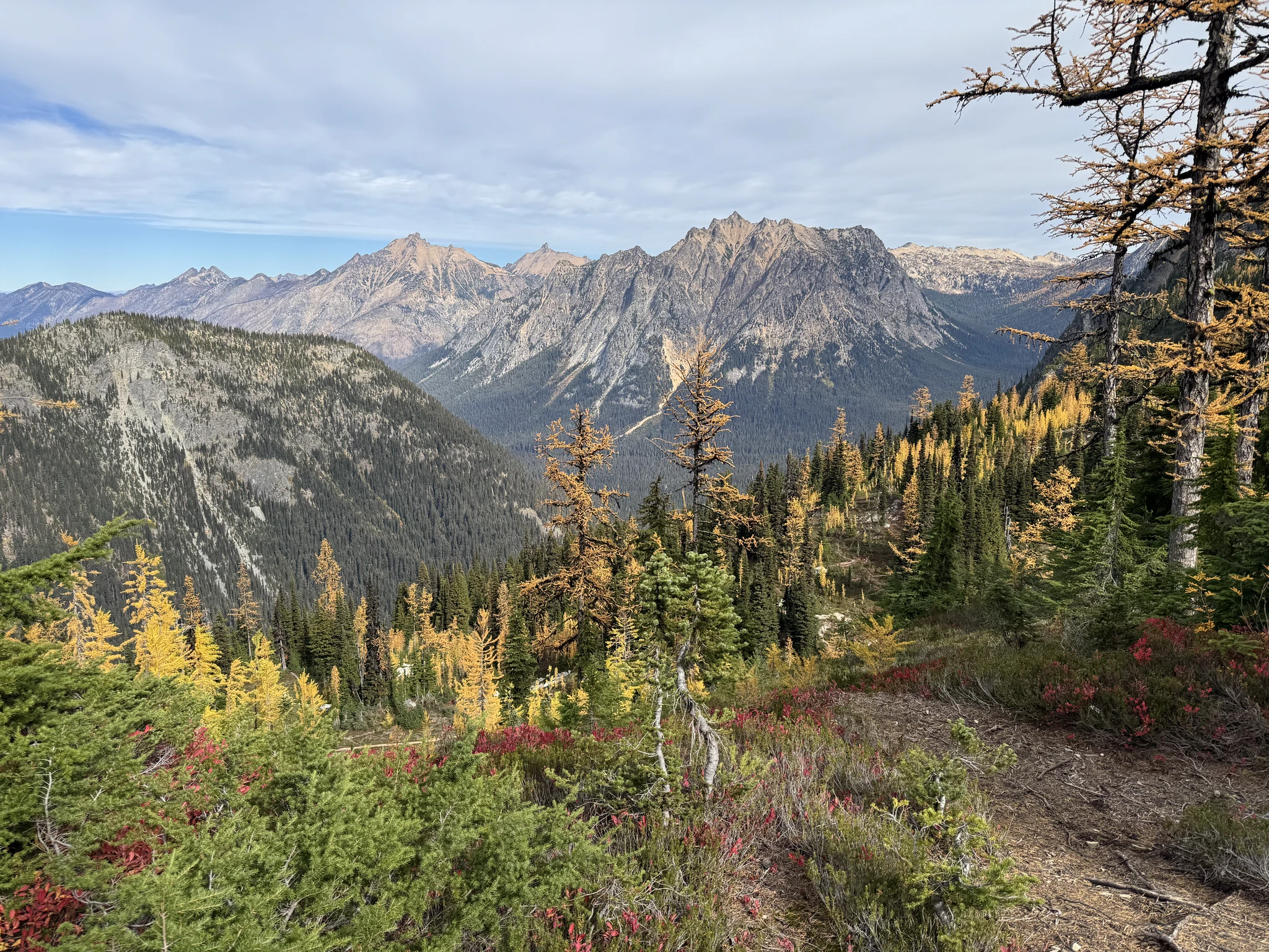
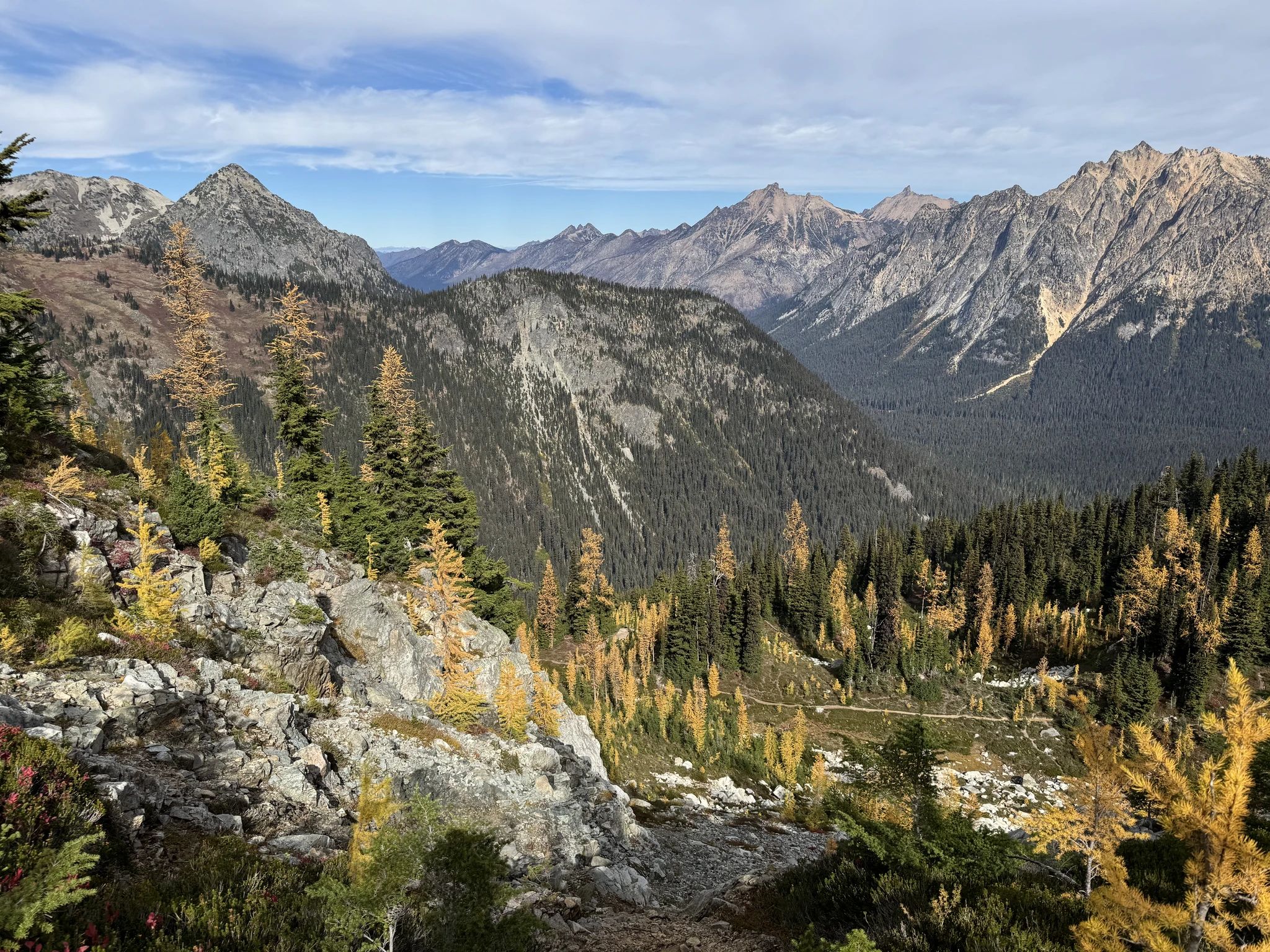
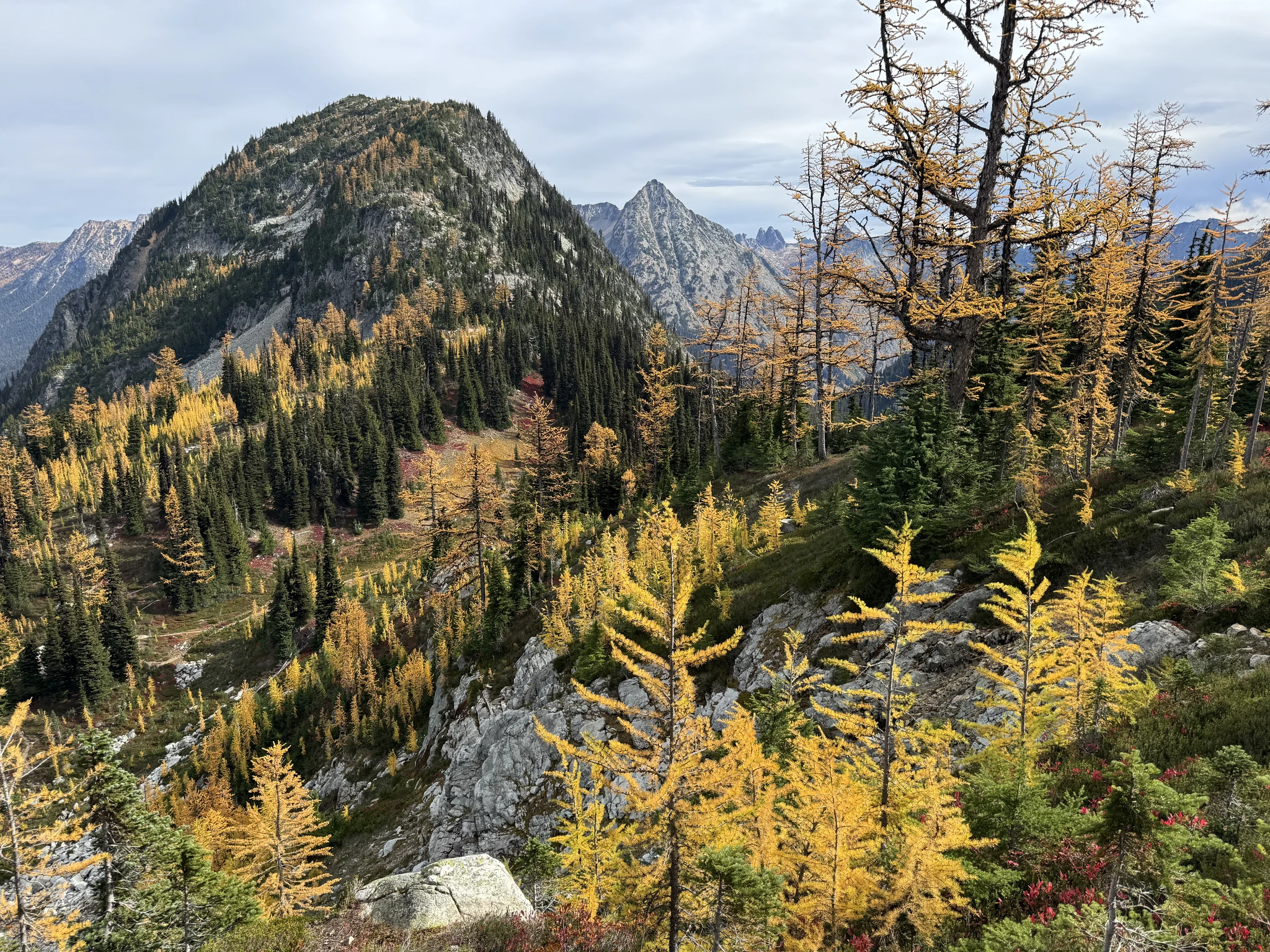
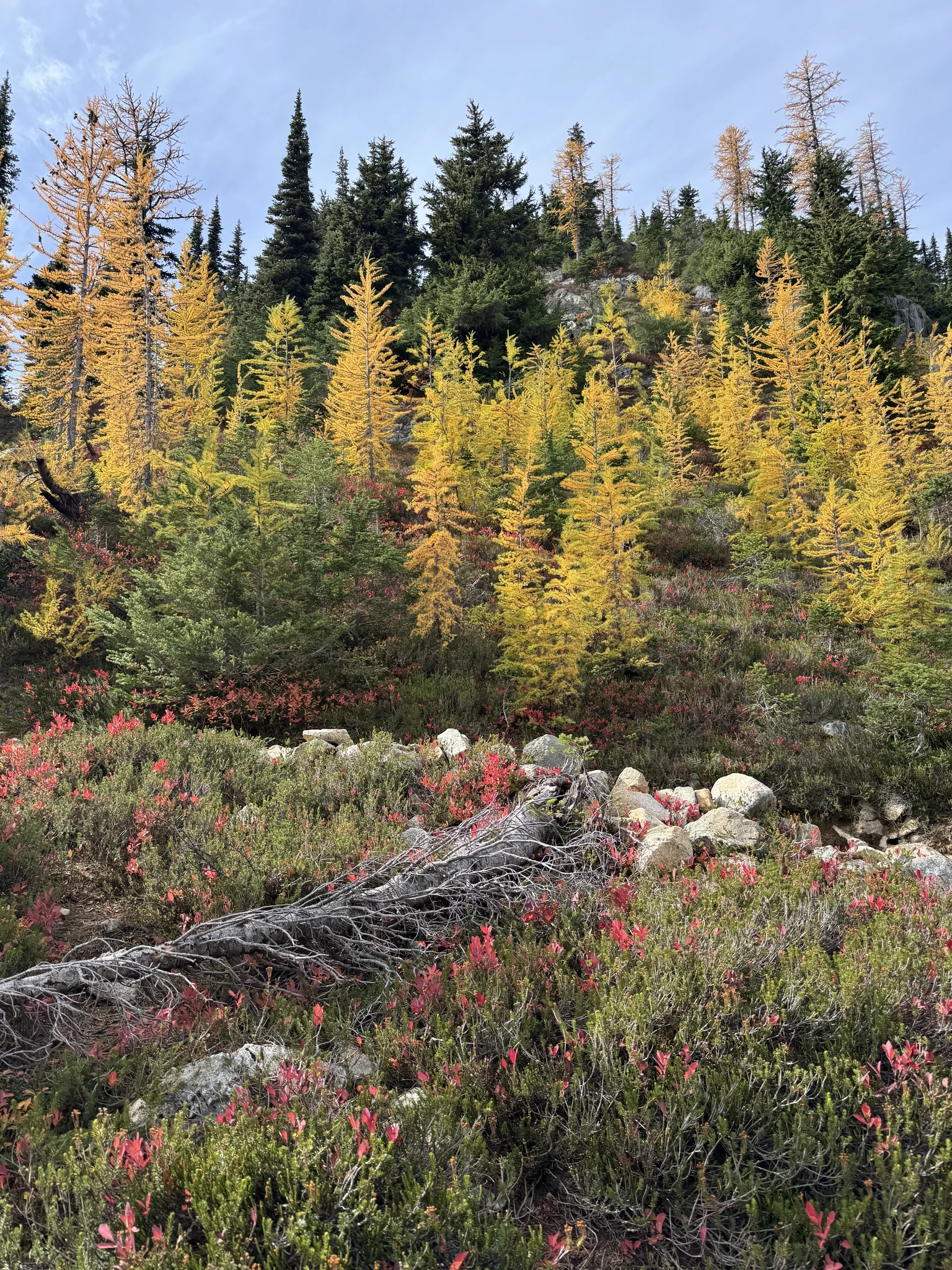
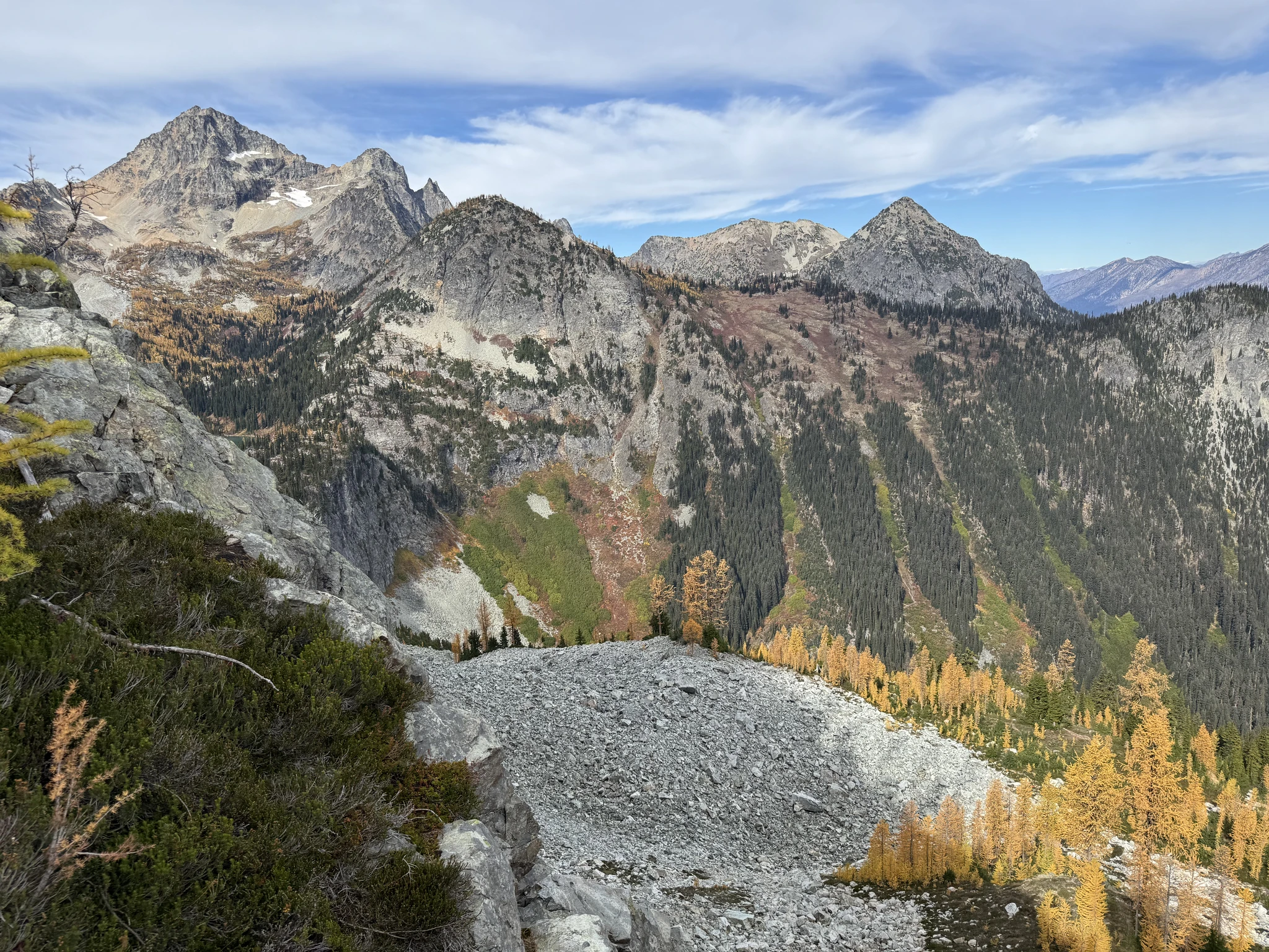
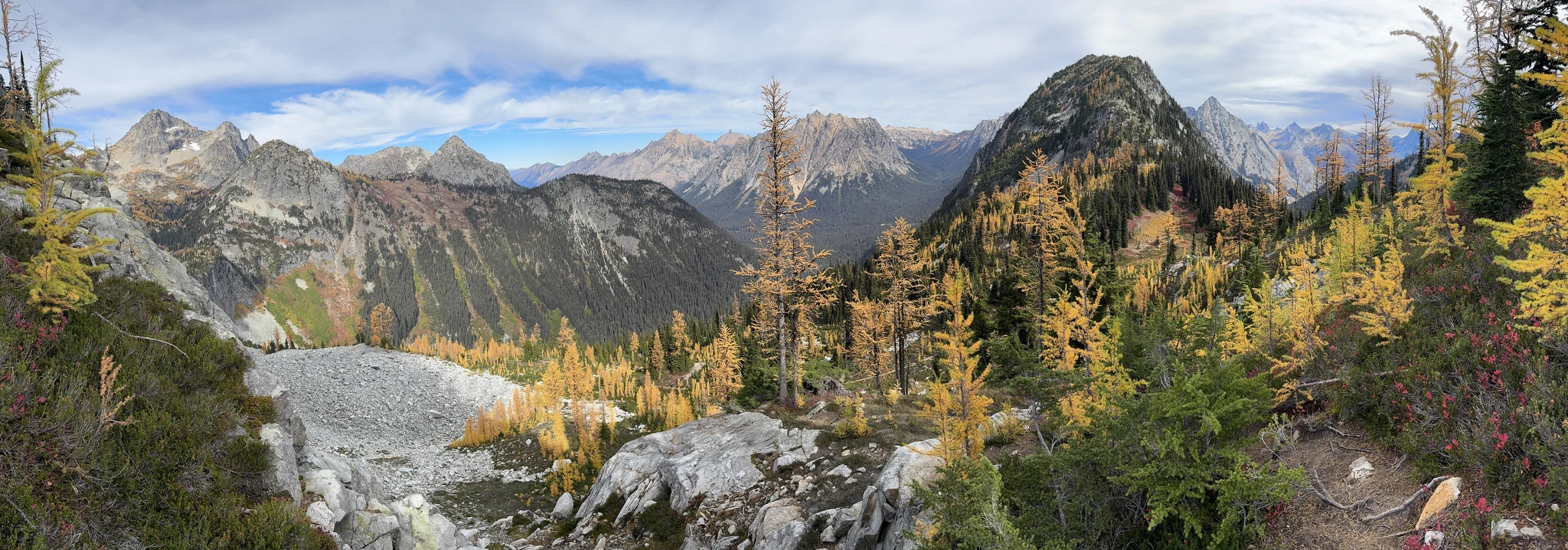
We try the “pano” feature with our iPhones multiple times in the hike. Here is one that turned out pretty good.
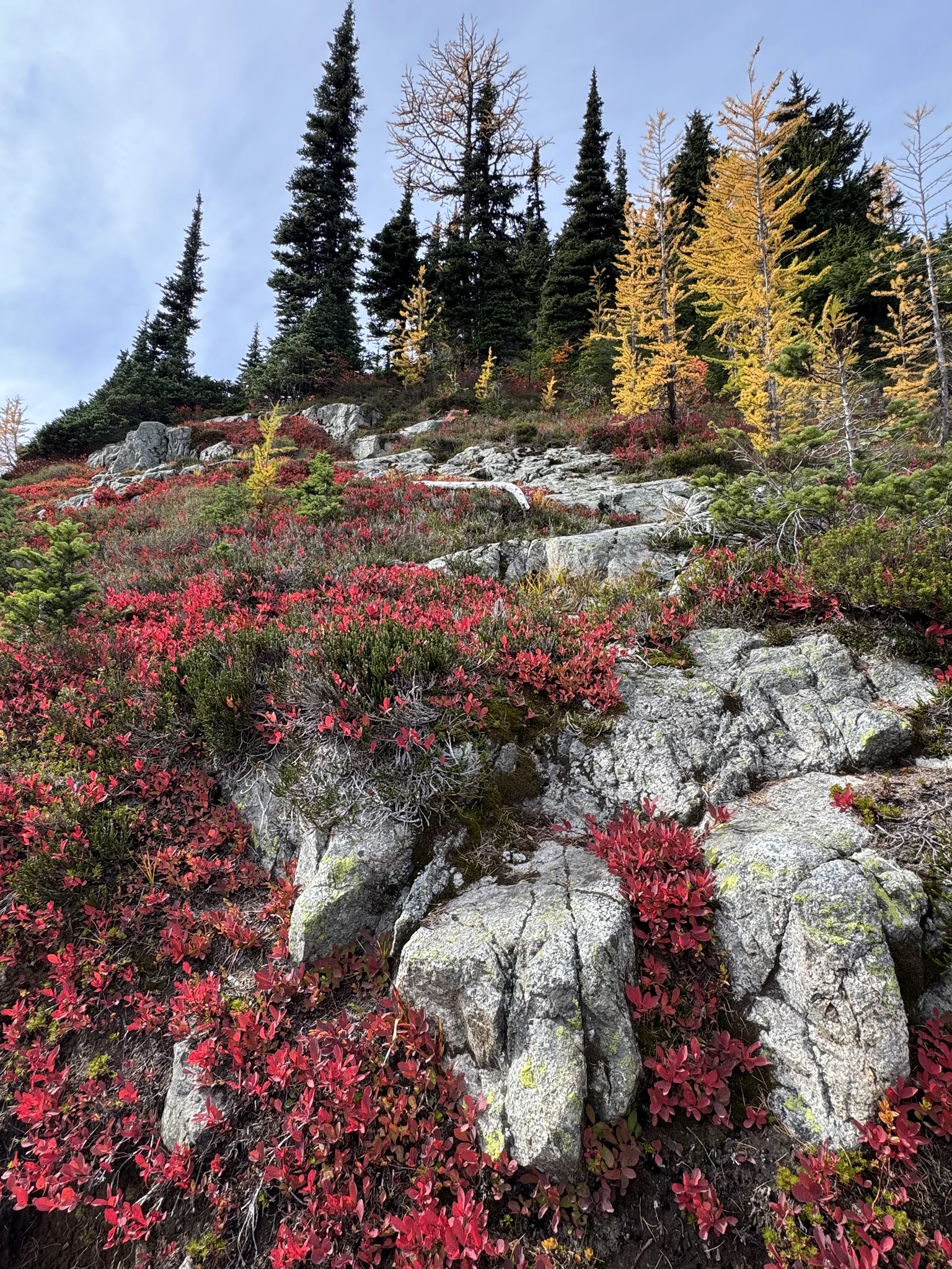
Continuing some uphill hiking.
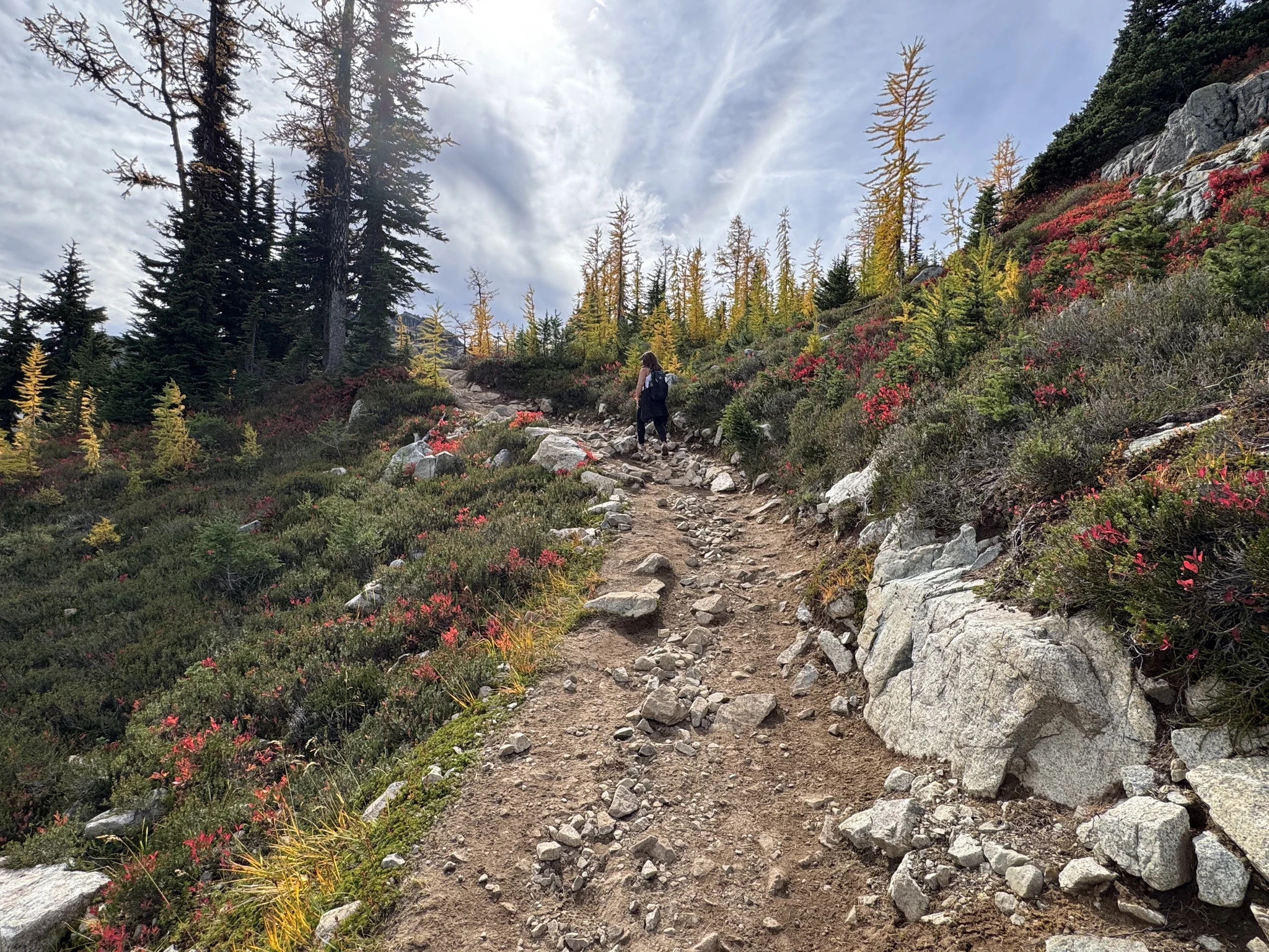
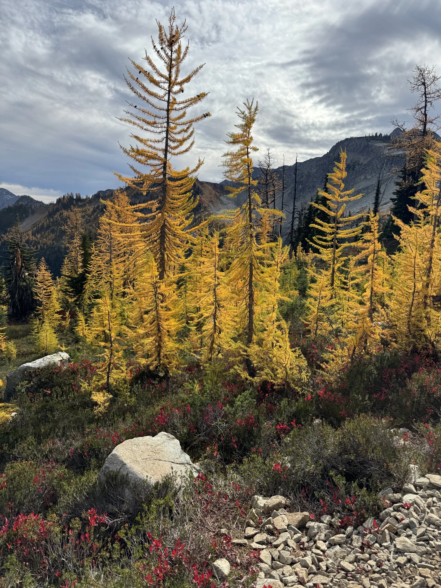
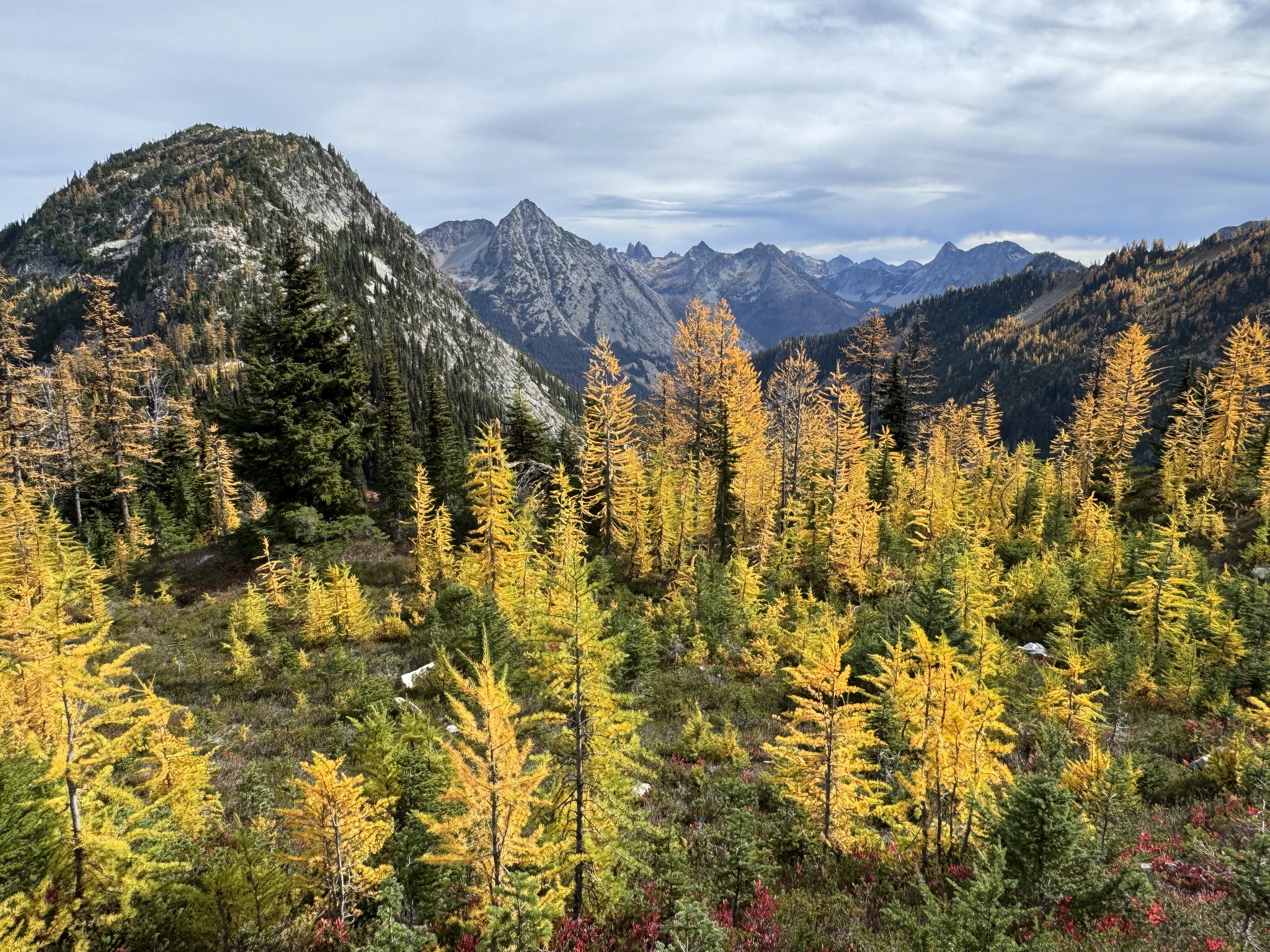
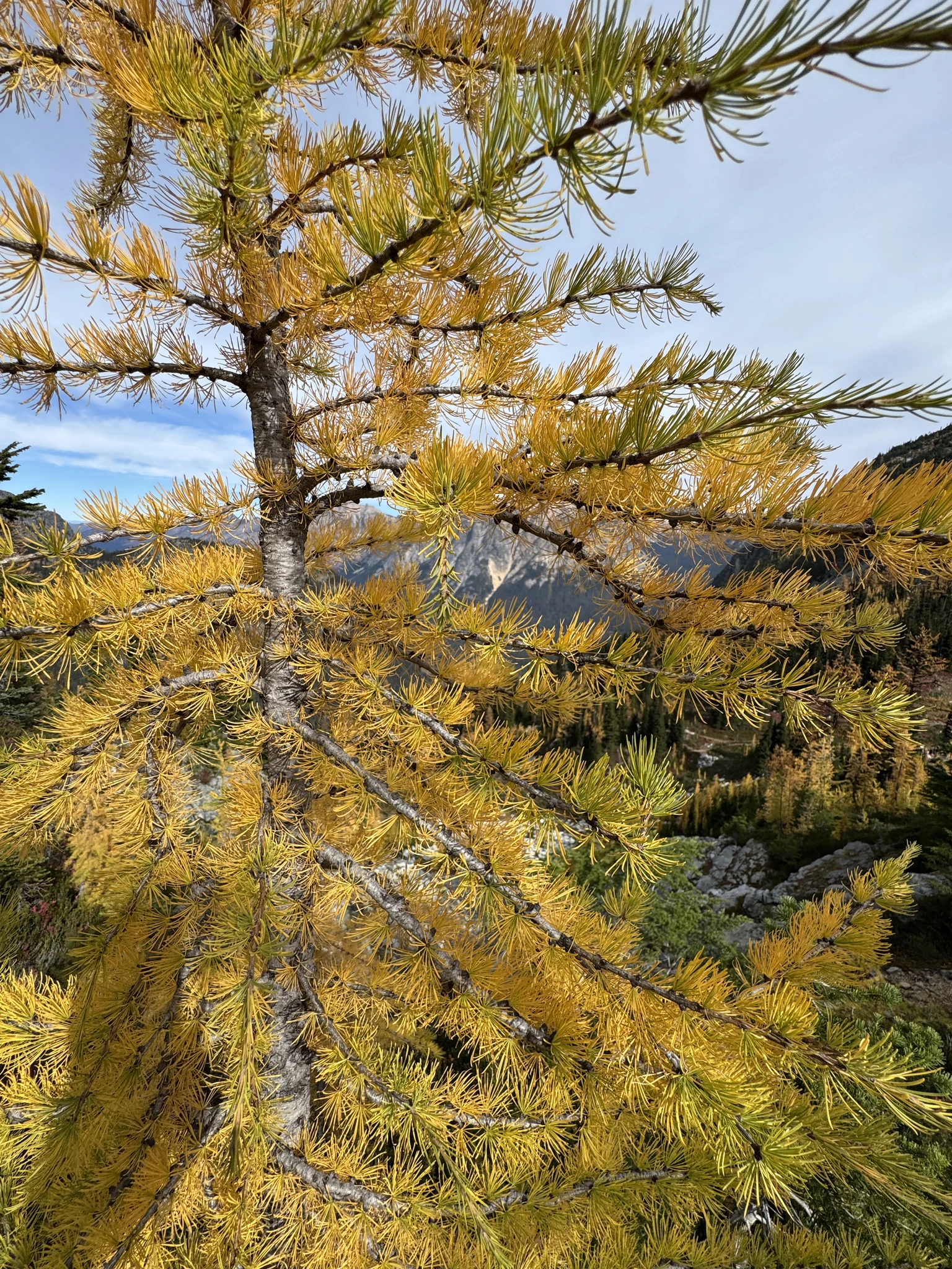
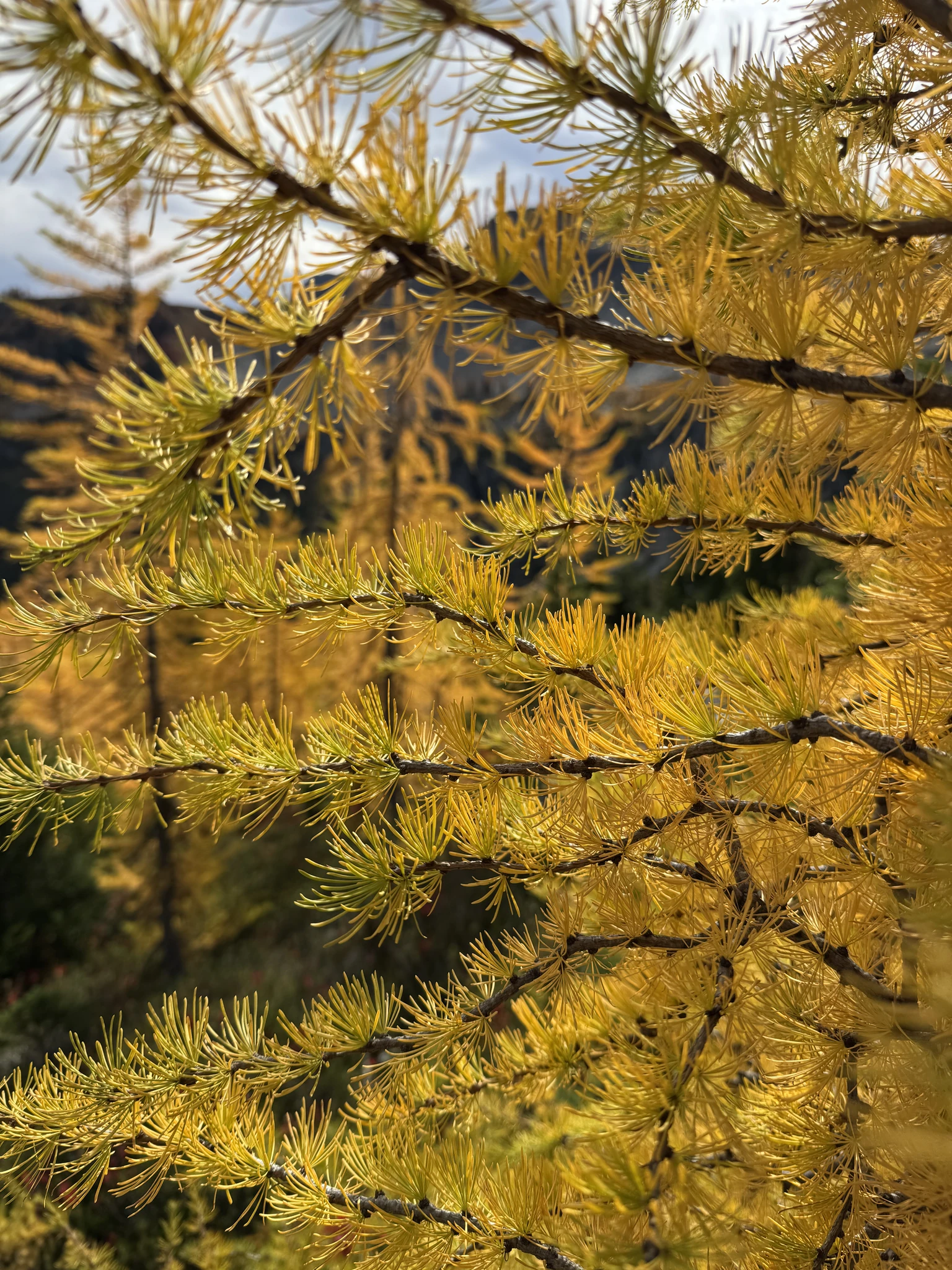
A closeup of some branches on a larch tree.
We are working our way to the other side of the lake from above.
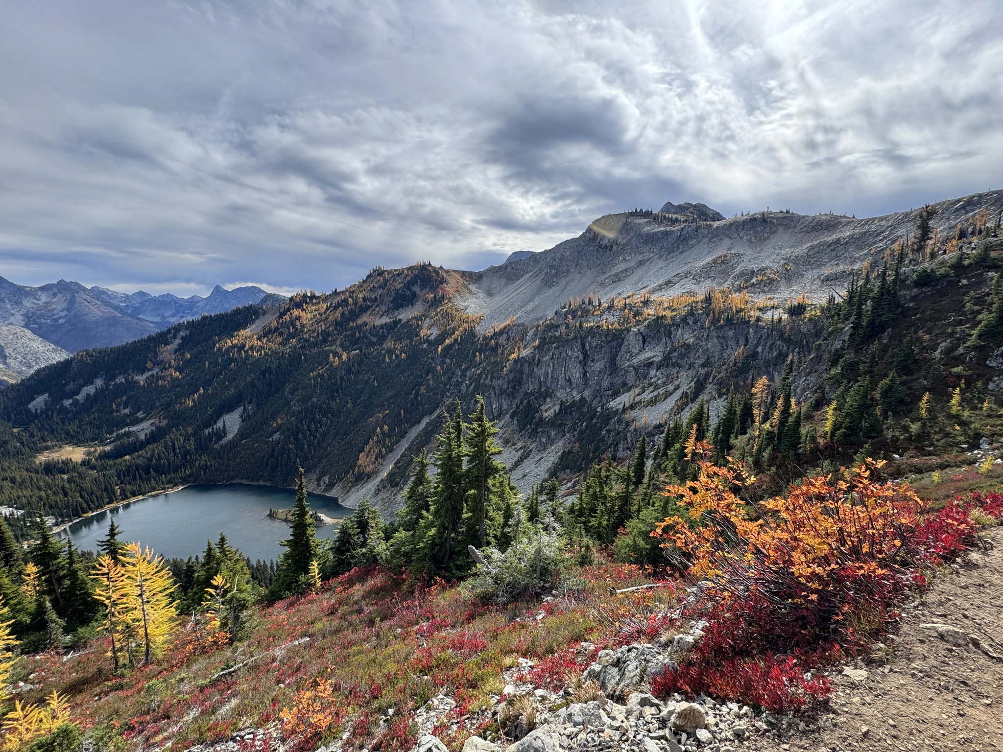
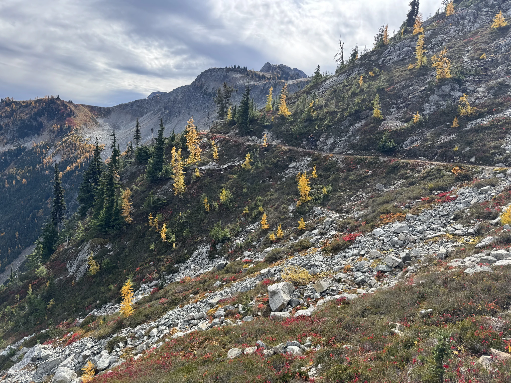
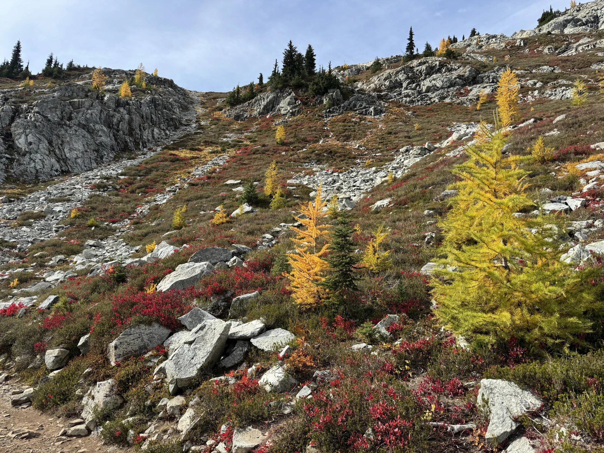
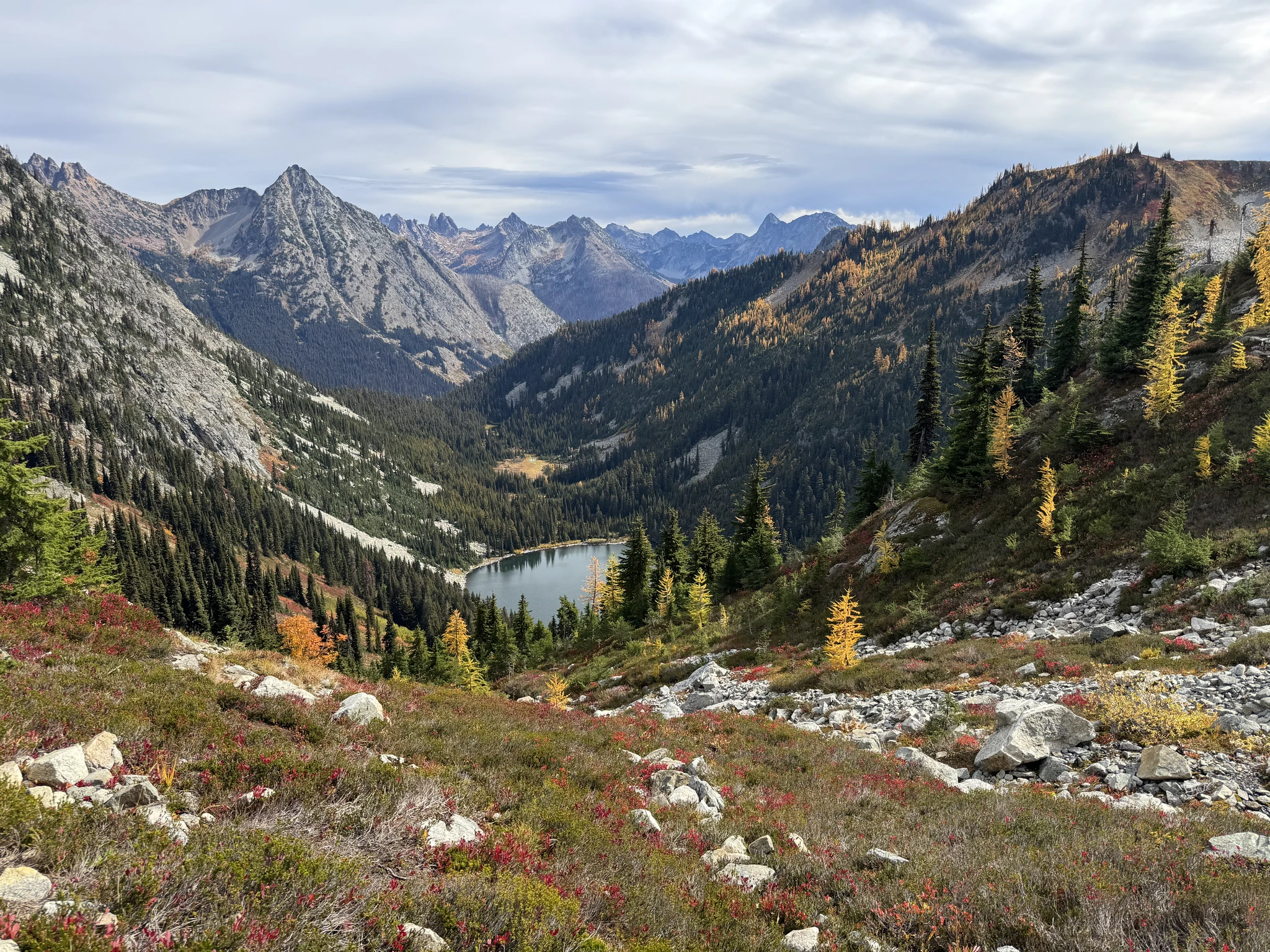
We are above that large attractive red side of the hills above Lake Ann.
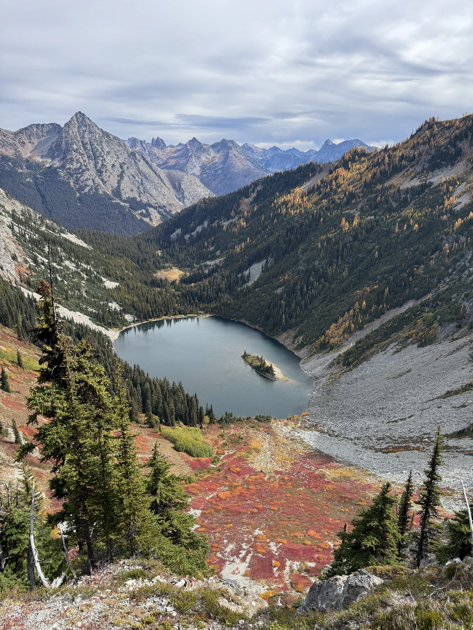
We are much closer to those hills I was zooming into for pictures earlier.
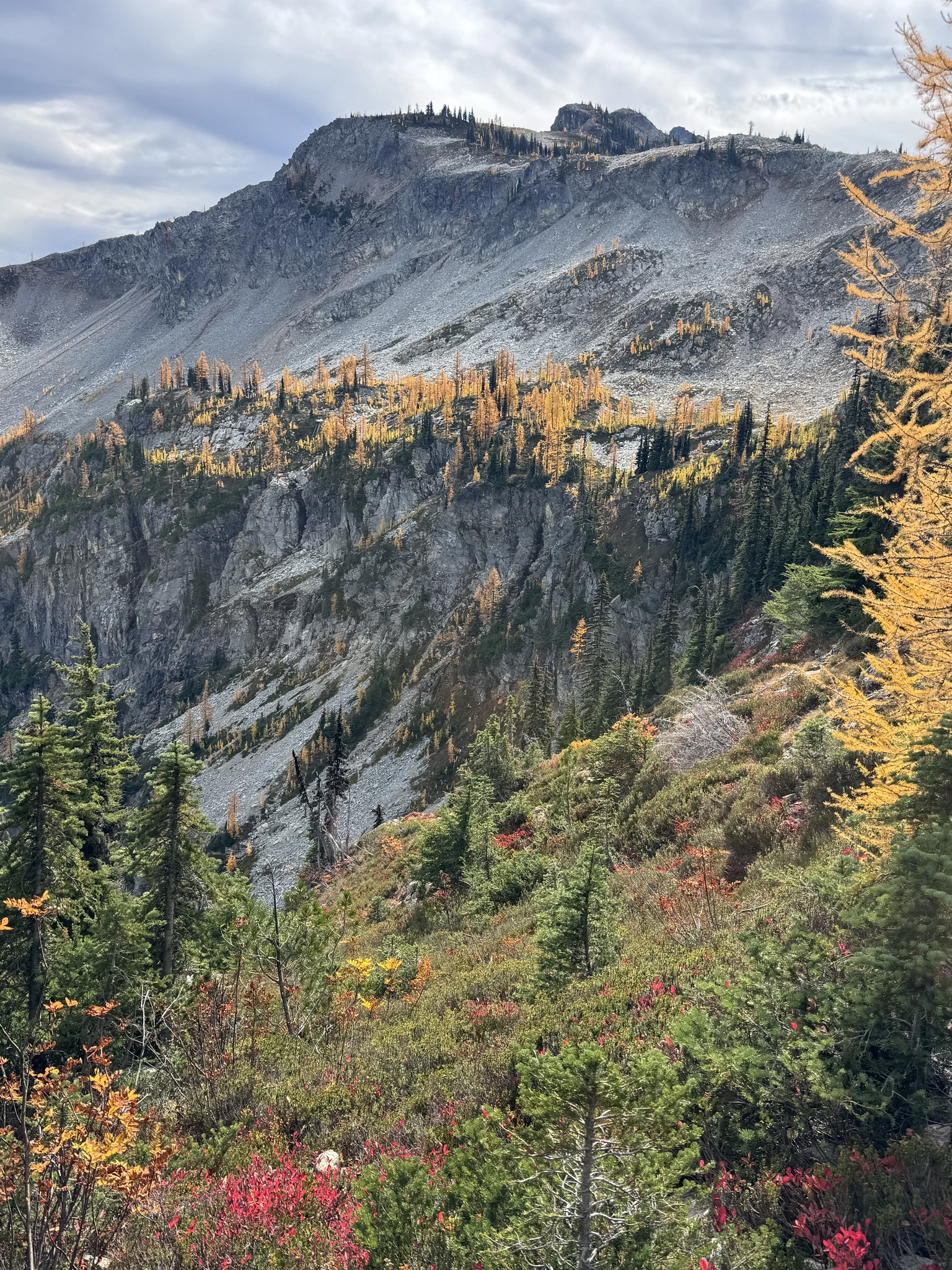
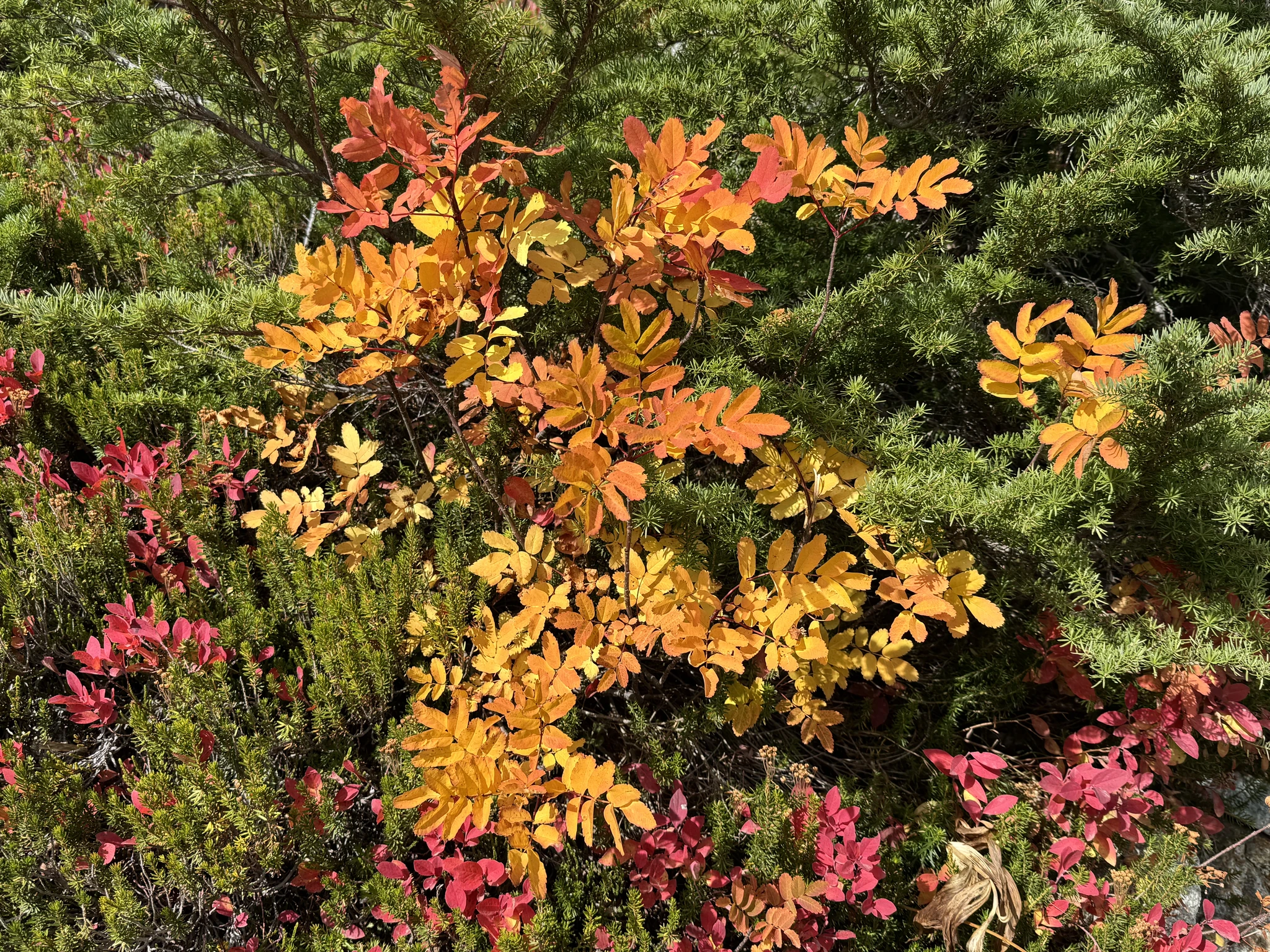
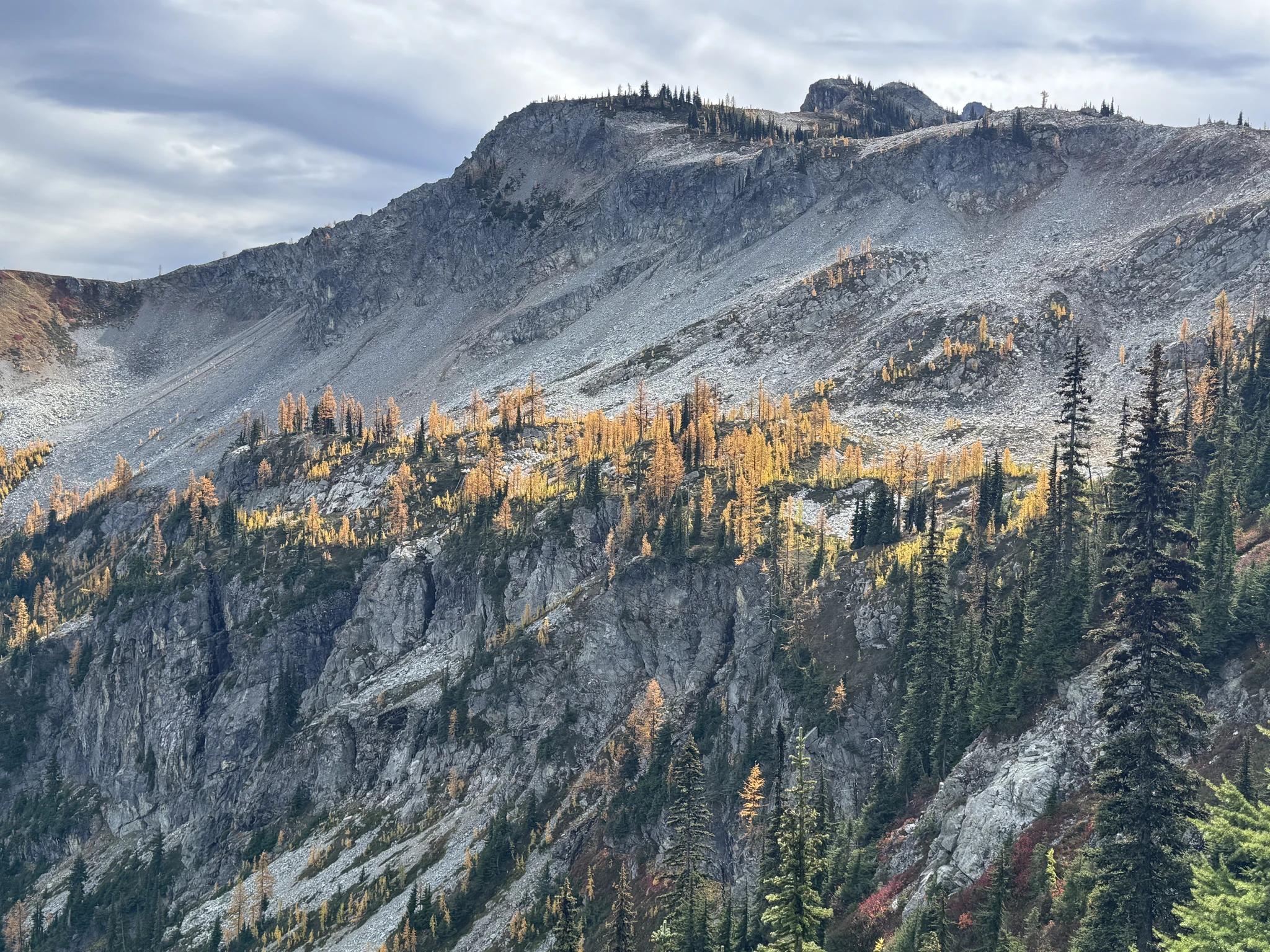
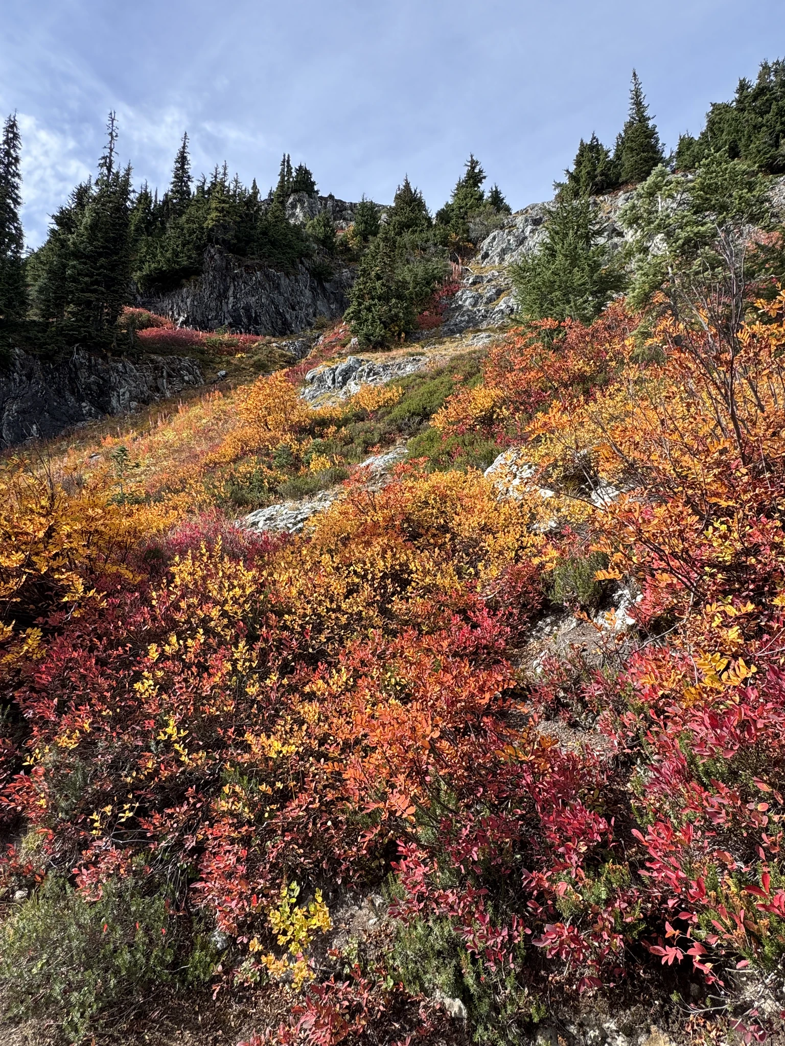
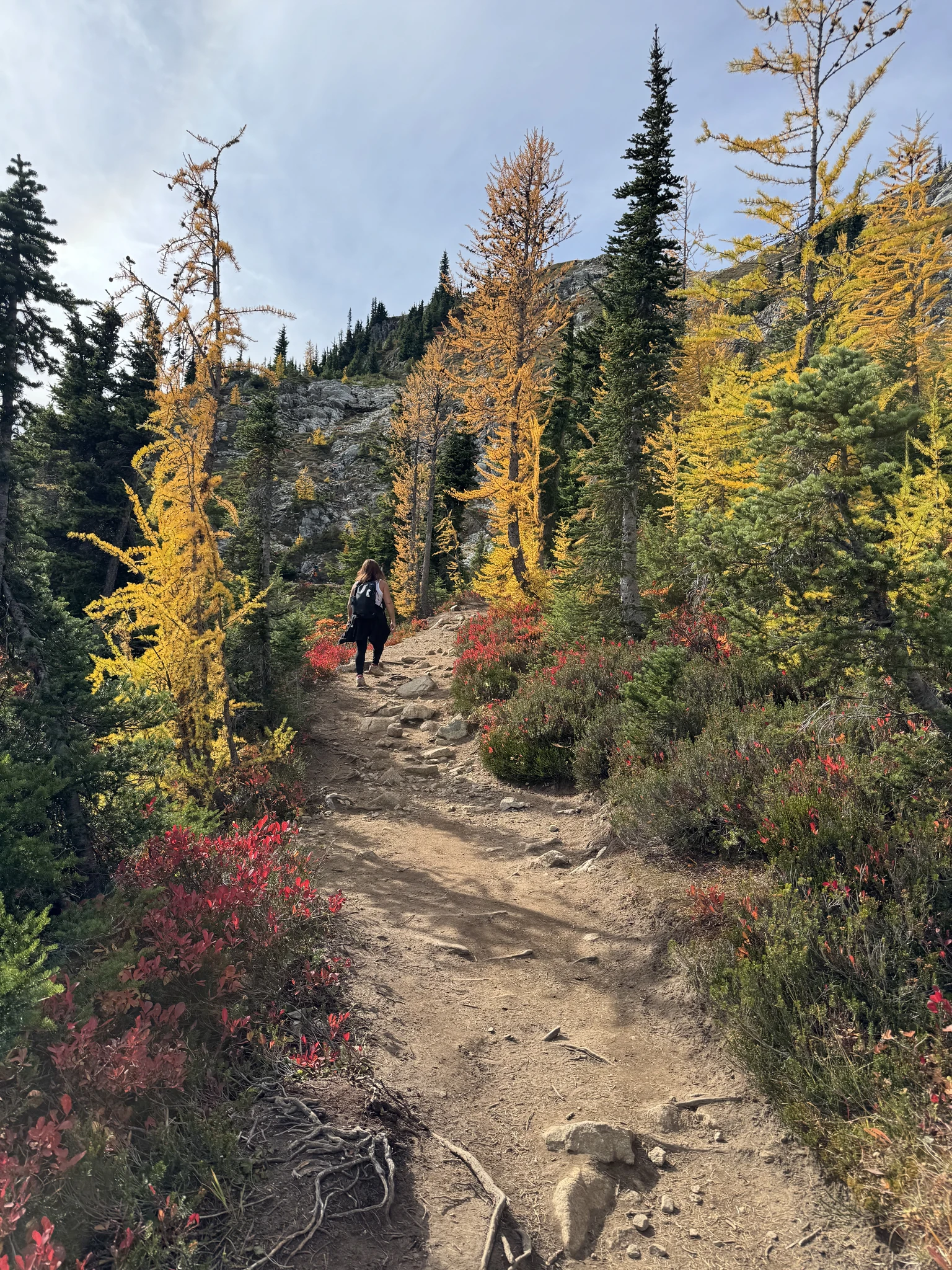
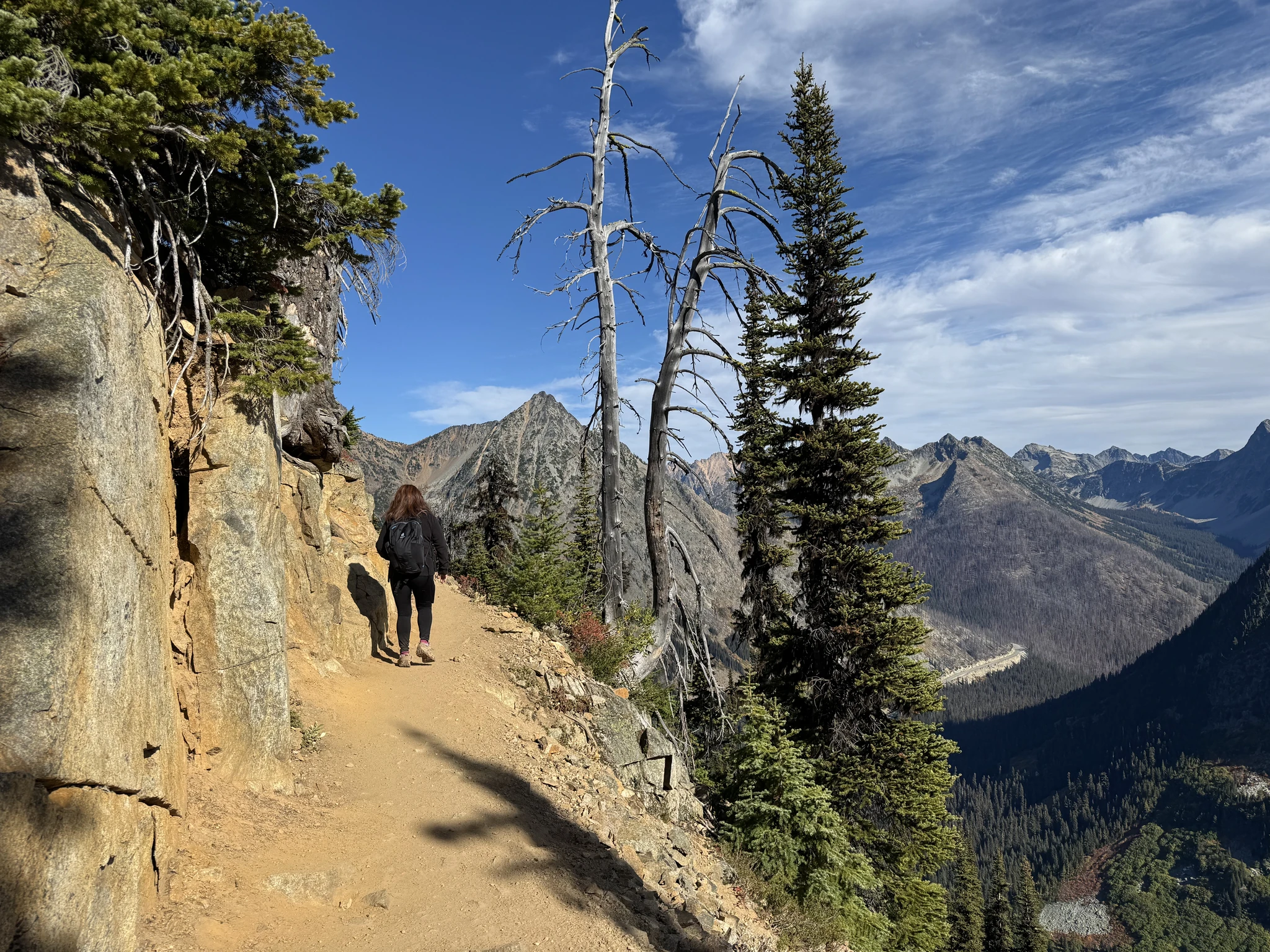
Ying continues along the trail.
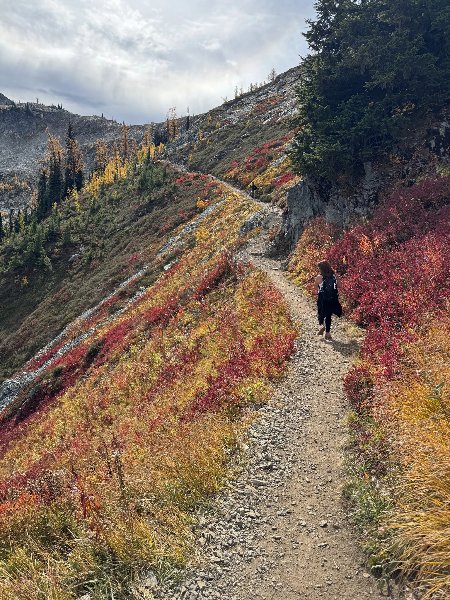
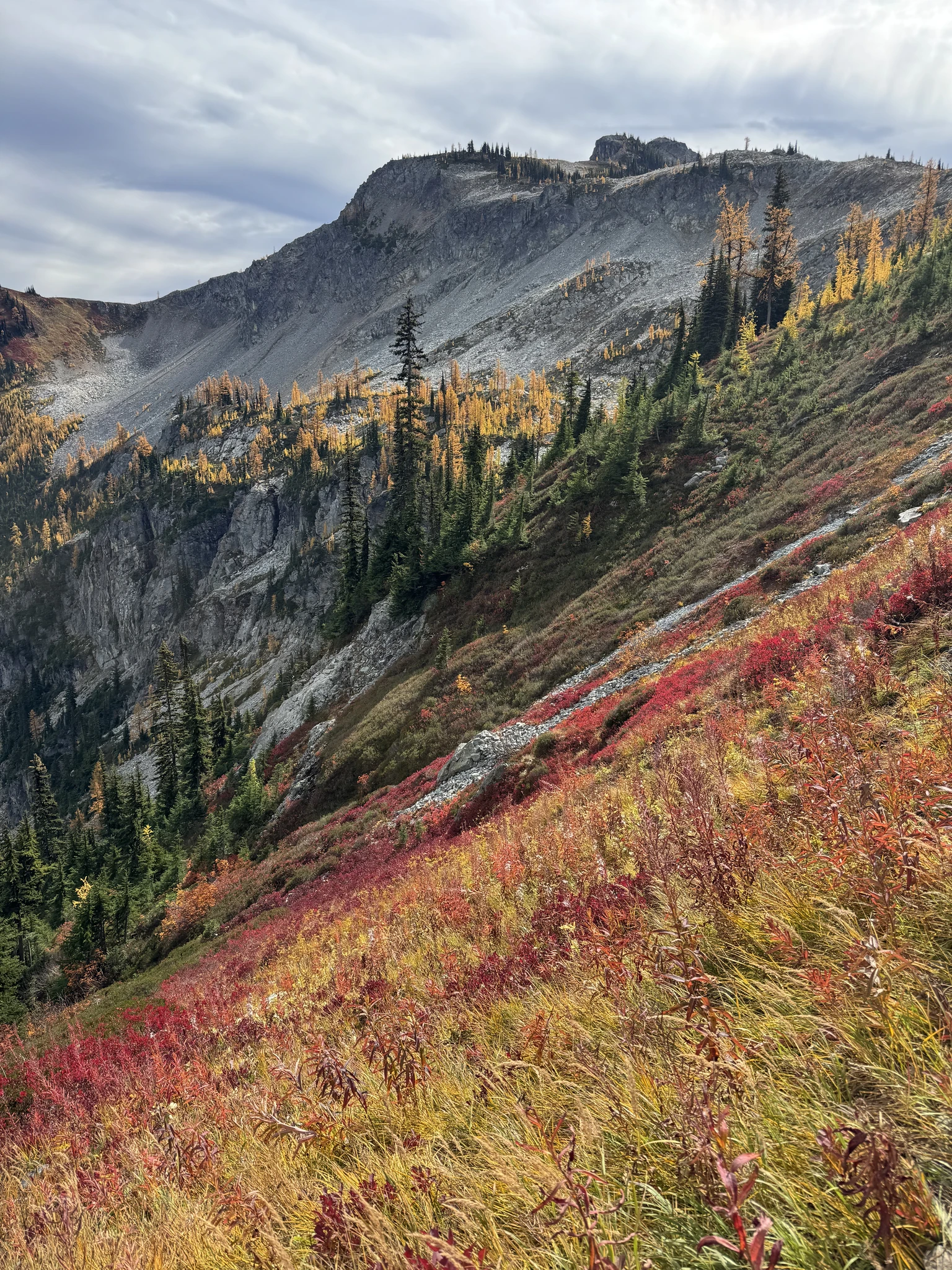
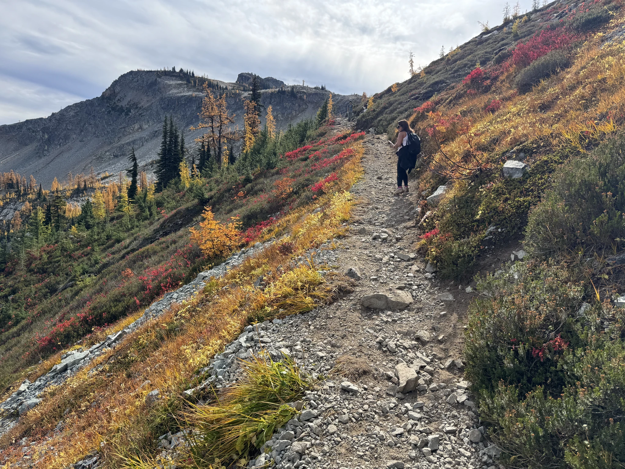
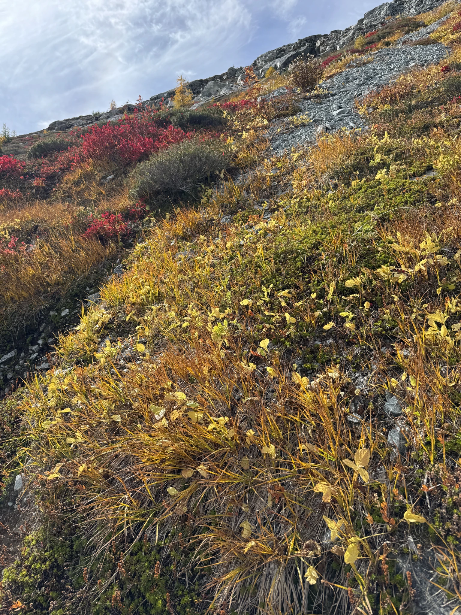
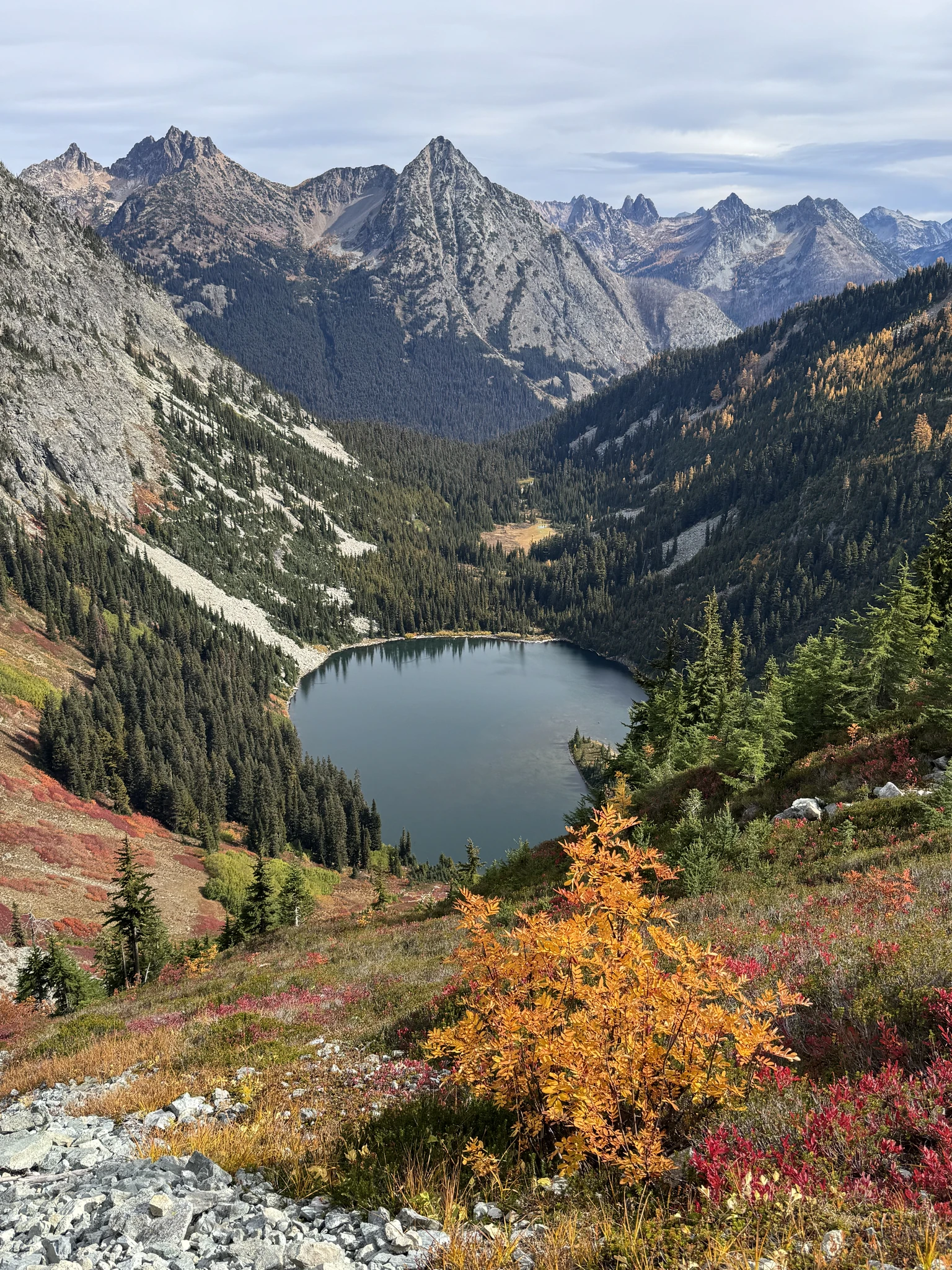
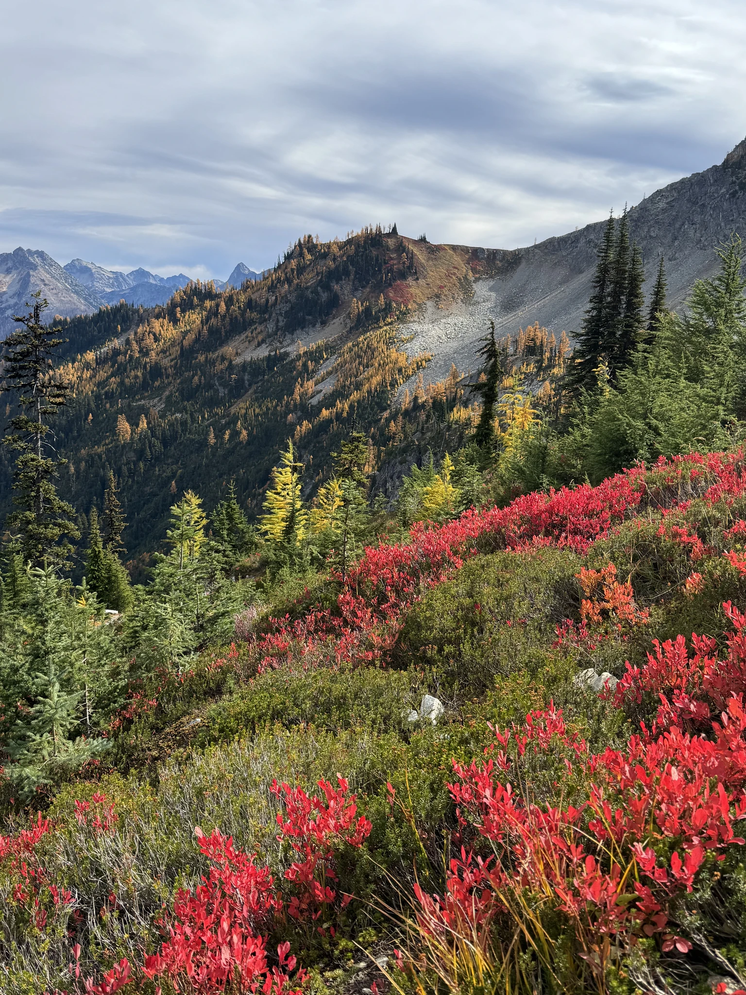
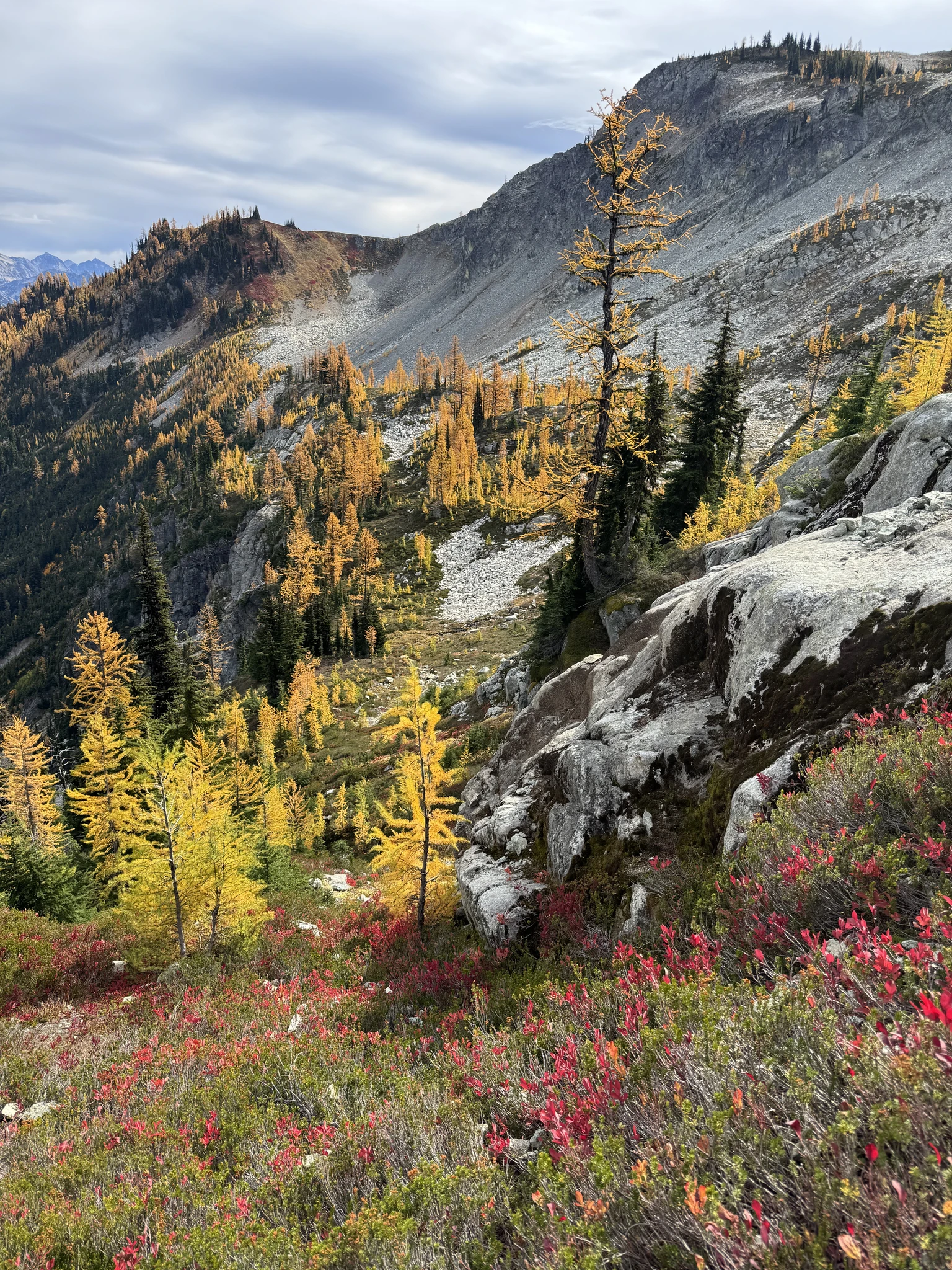
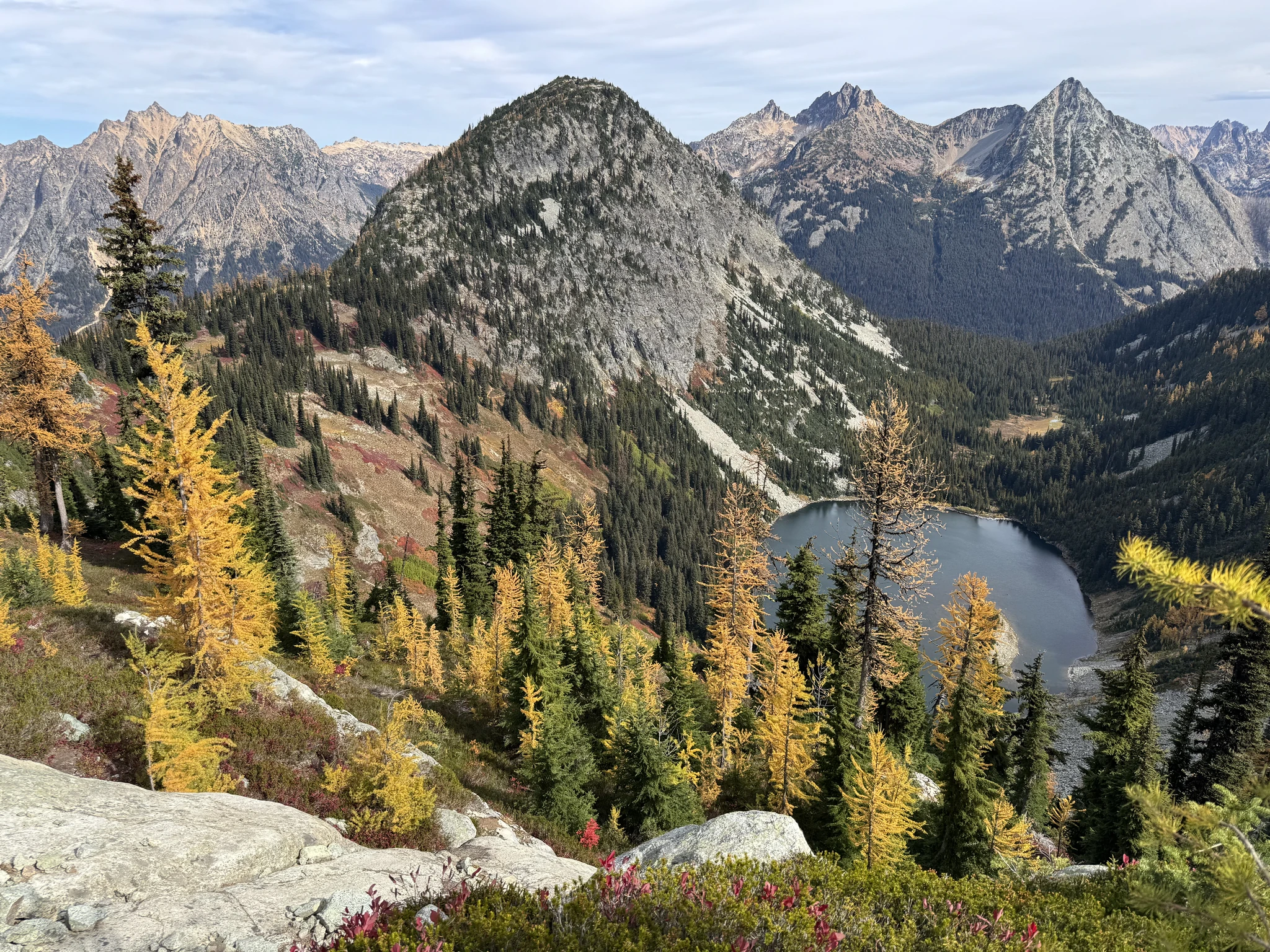
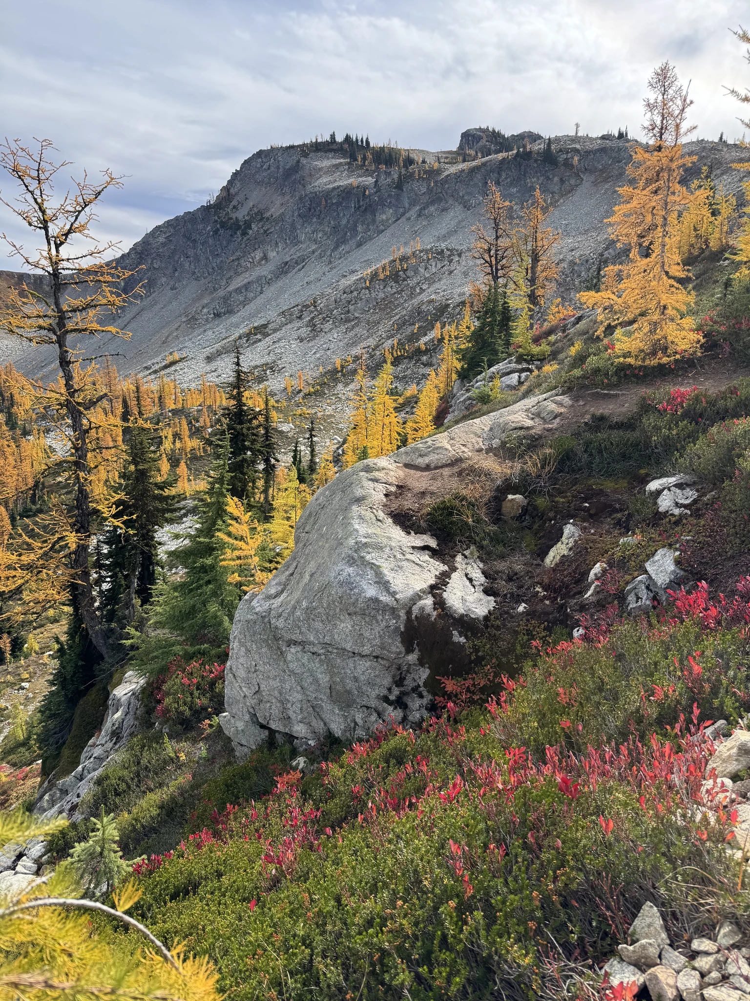
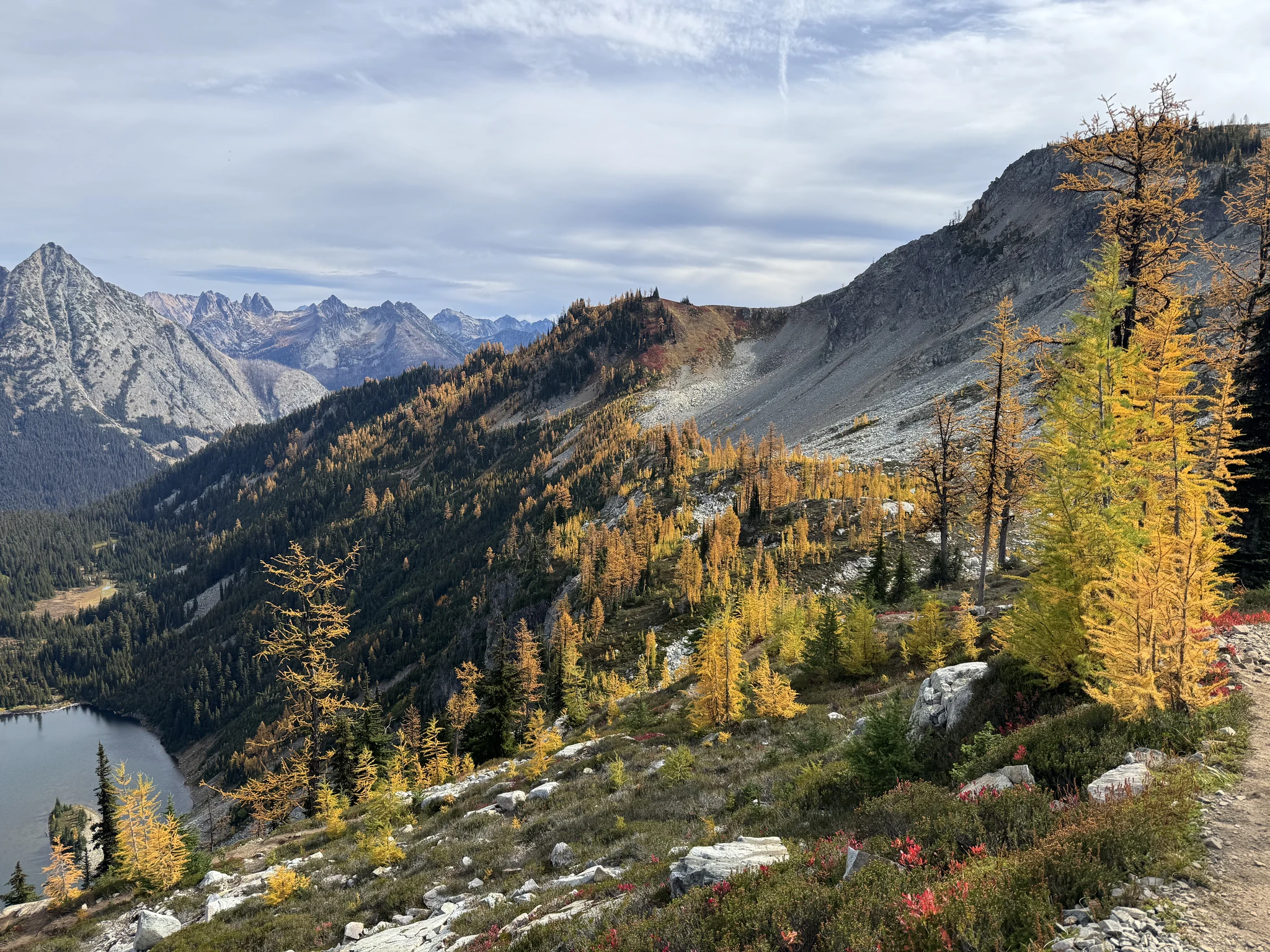
Up here we can see new views.
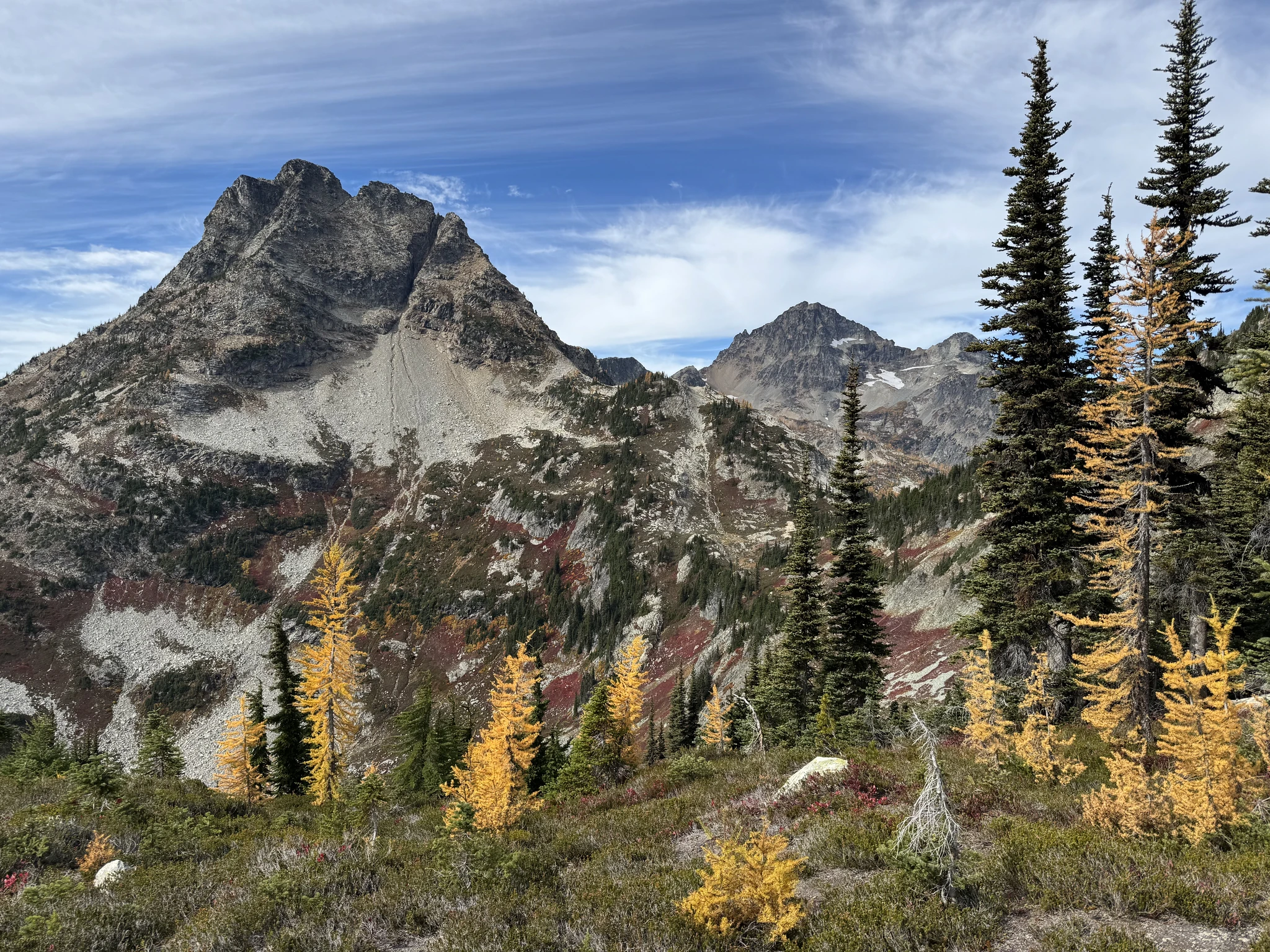
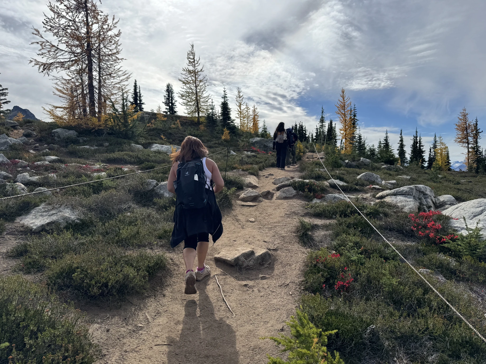
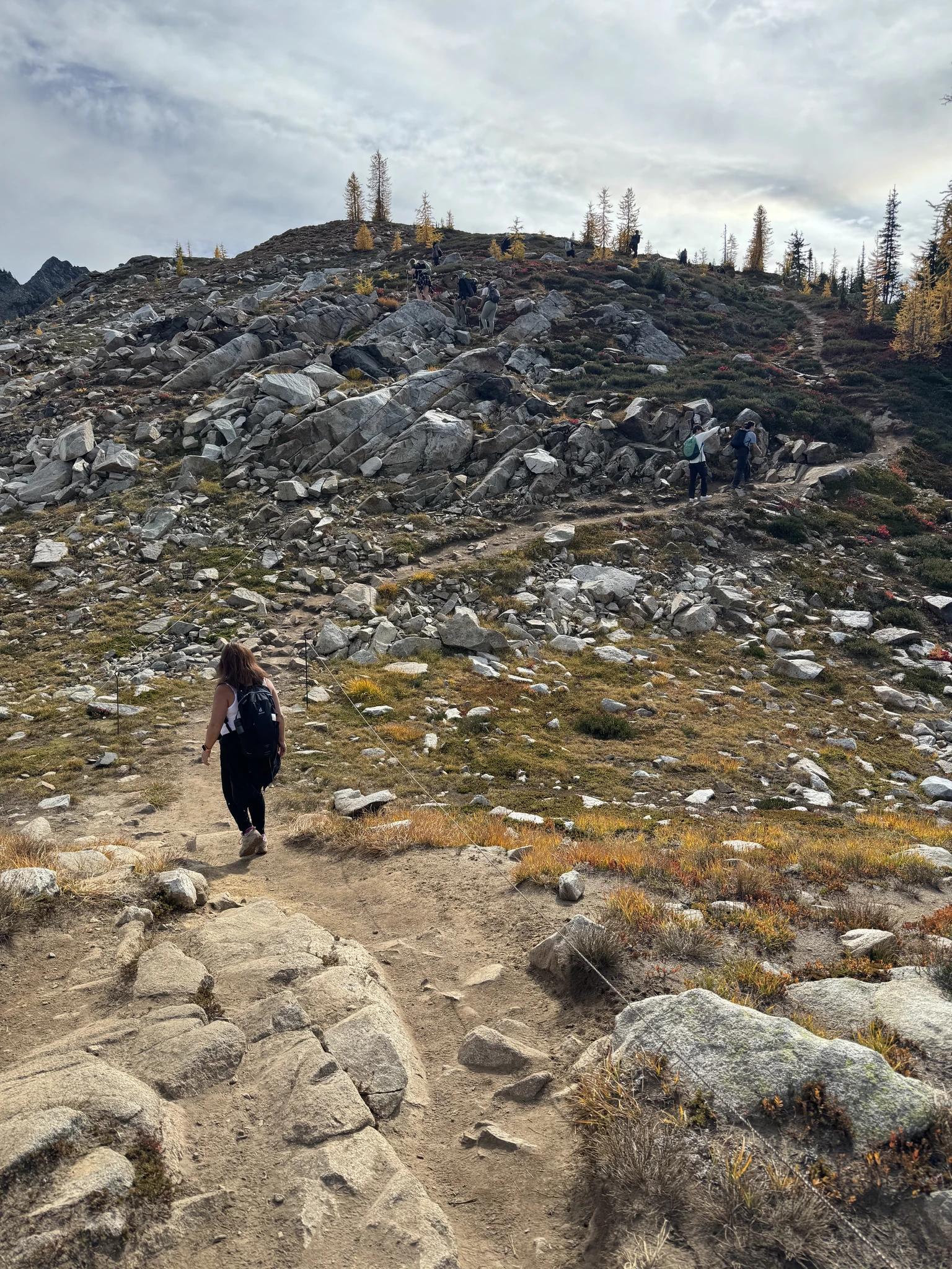
The trail is roped off to encourage hikers to stay in designated areas so as to decrease damage to the environment.
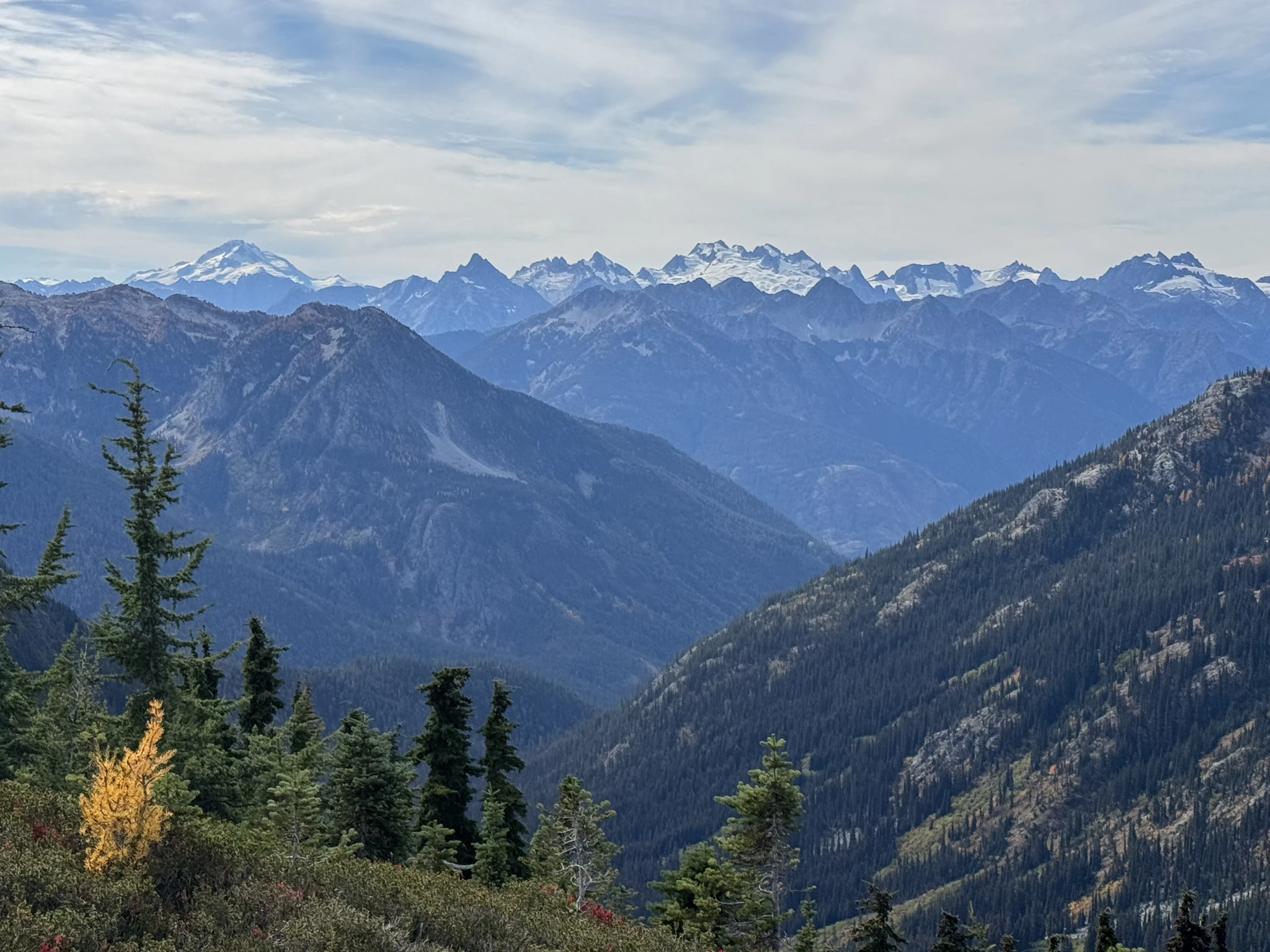
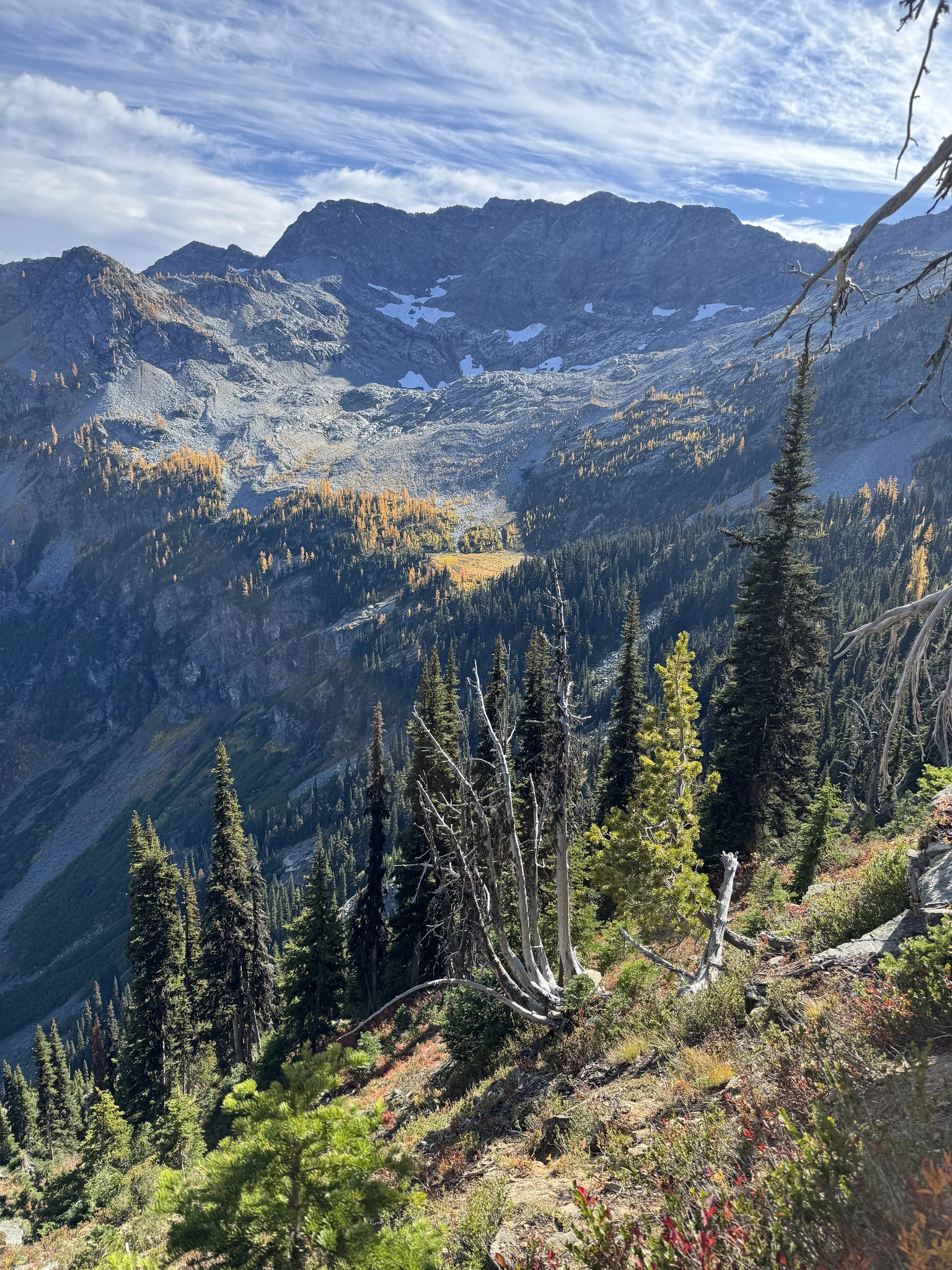
Some snow covered mountains are visible off in the distance.
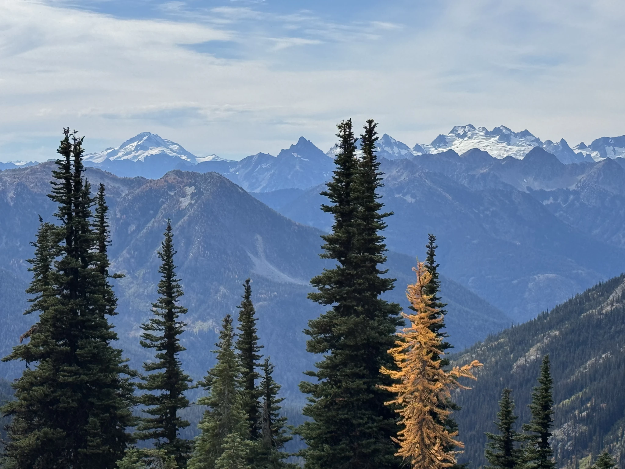
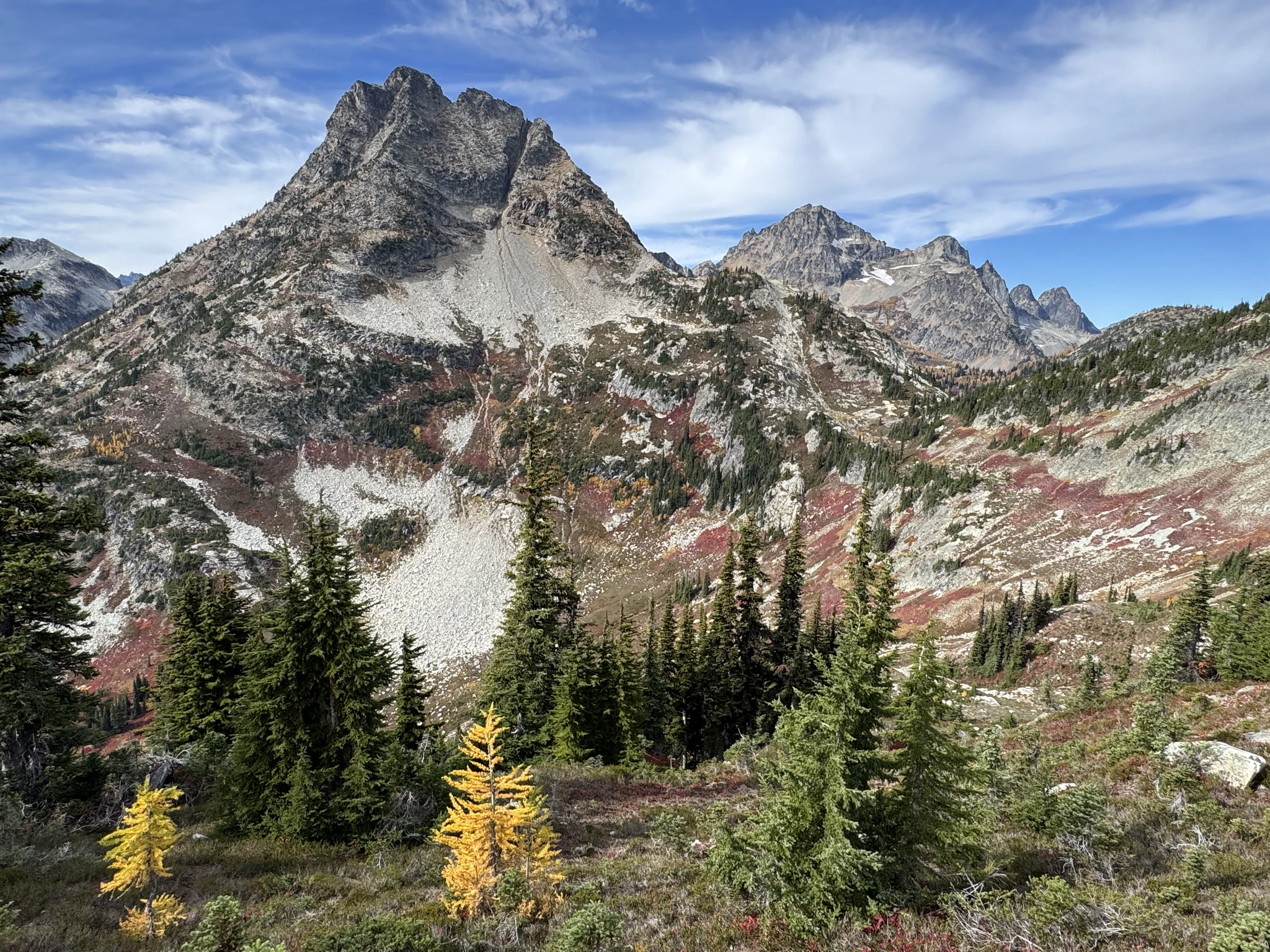
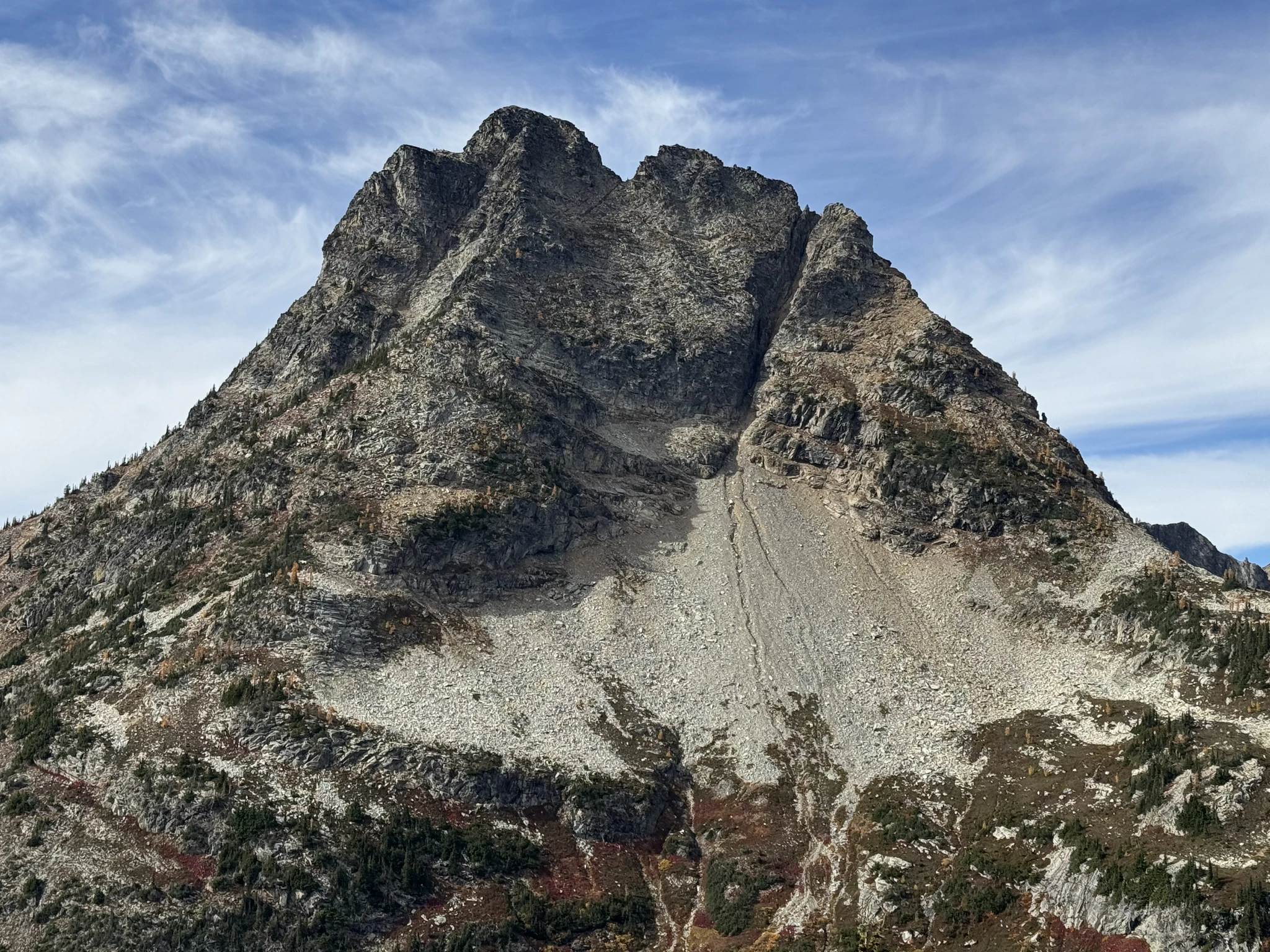
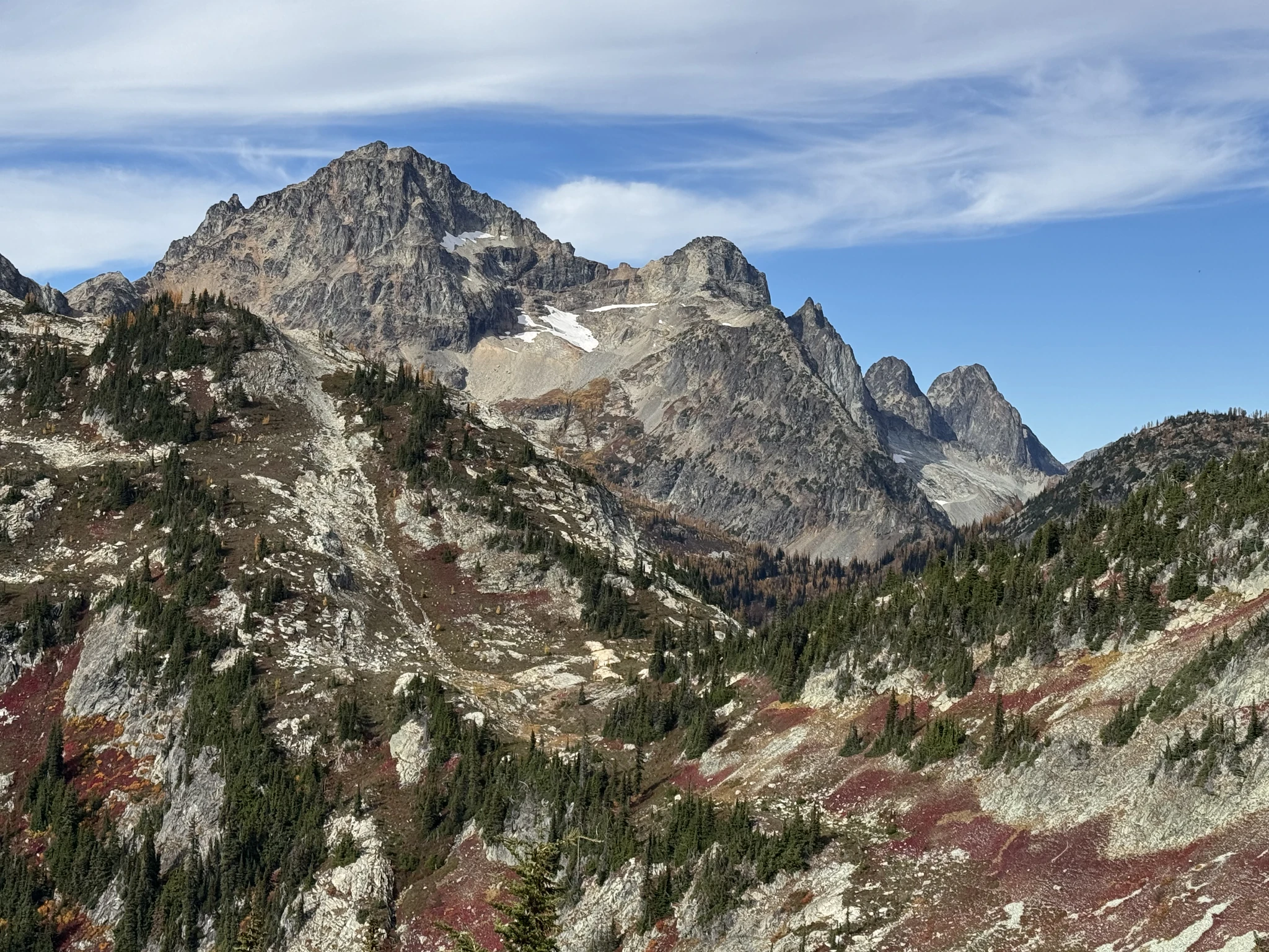
We continue up with other hikers. Most the other hikers are busy taking pictures too, so we tend to see each other over and over again along the way.
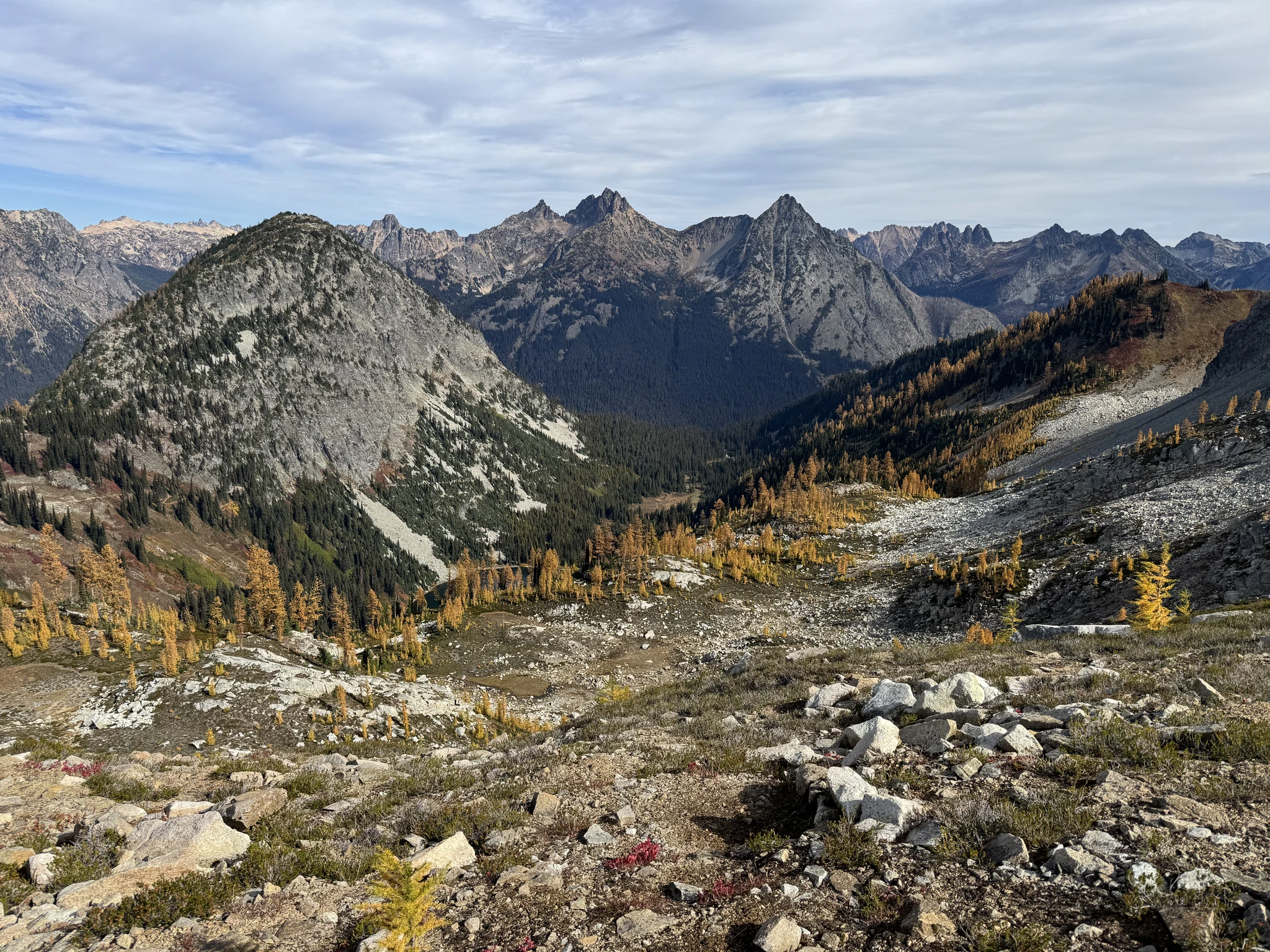
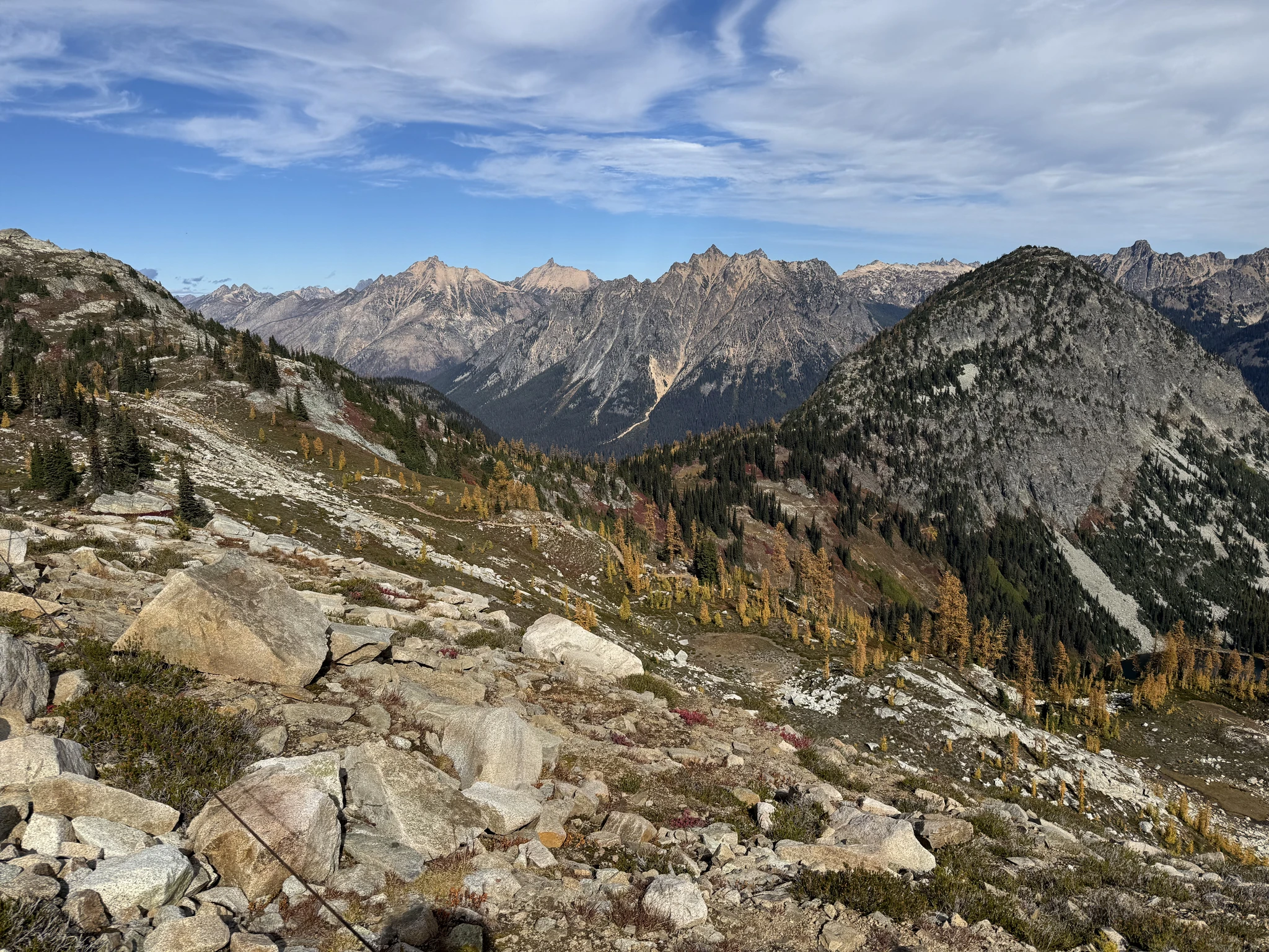
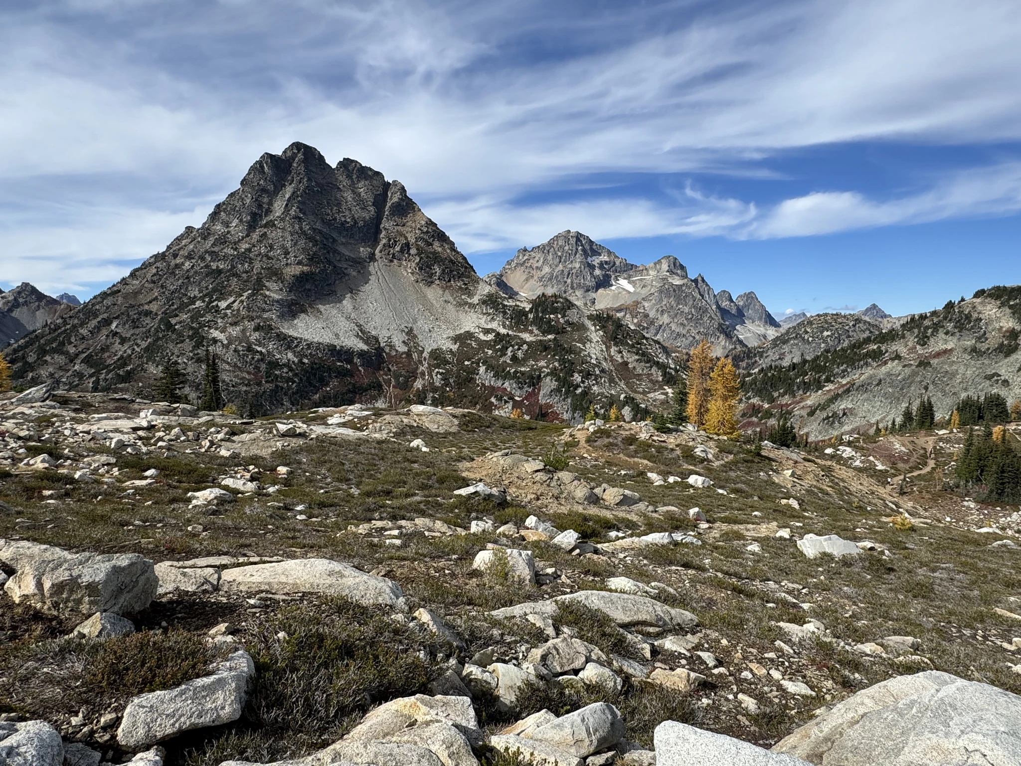
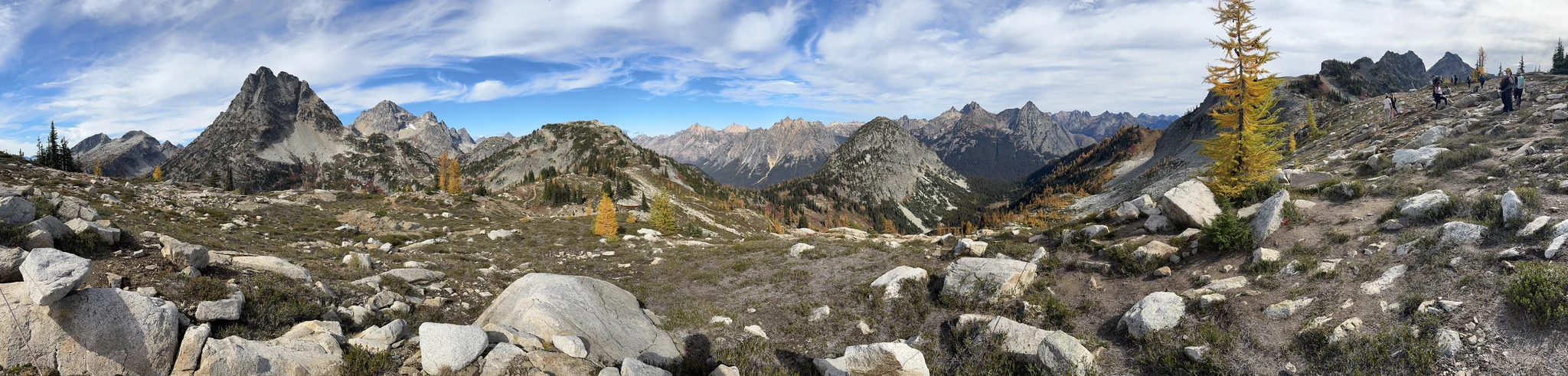
Another attempt at making a “Pano” photo with my iPhone.
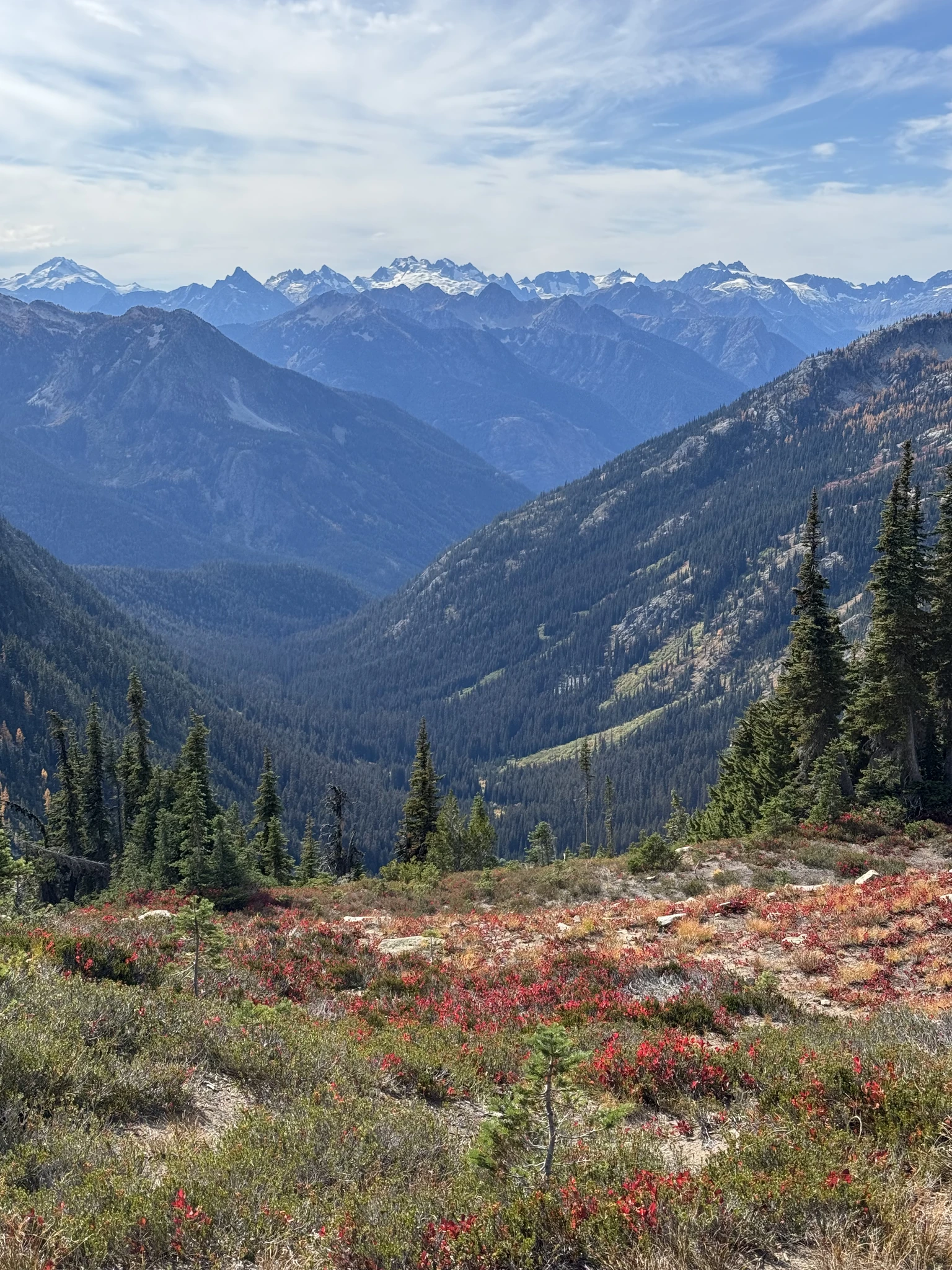
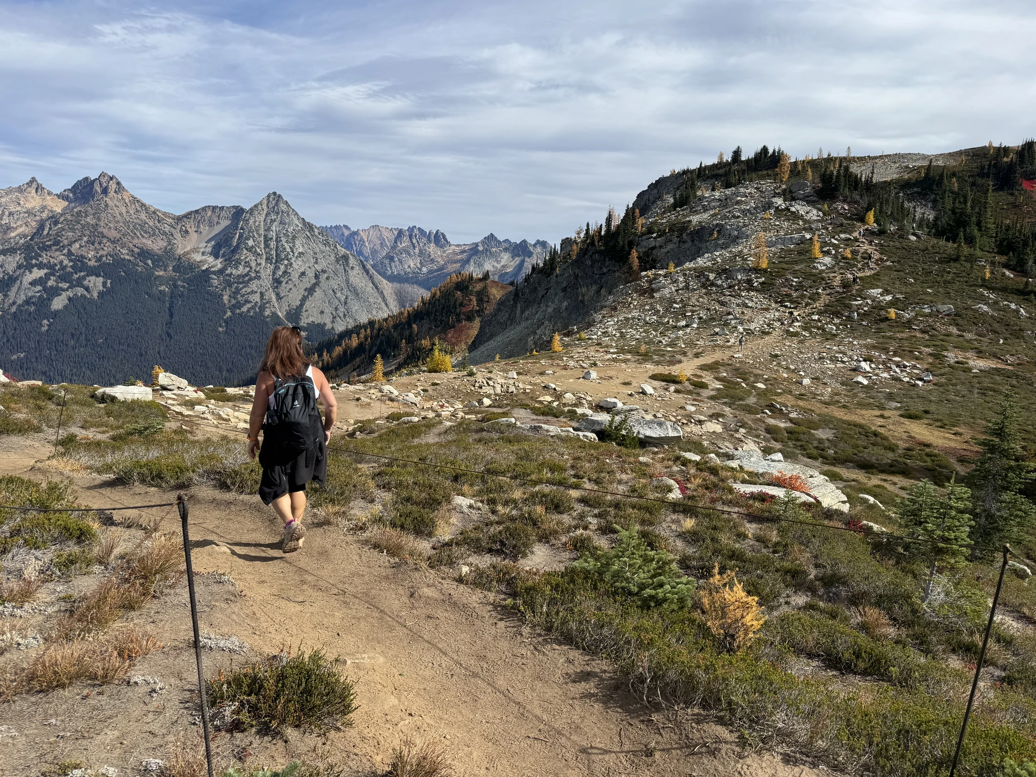
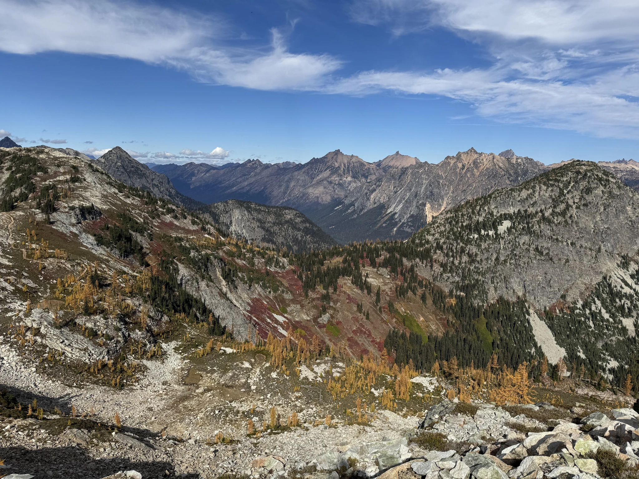
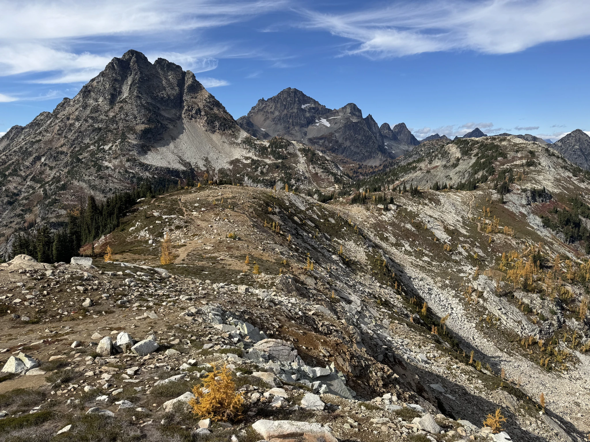
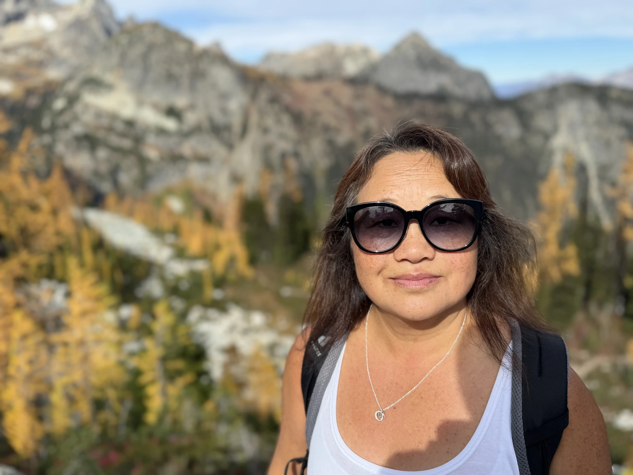
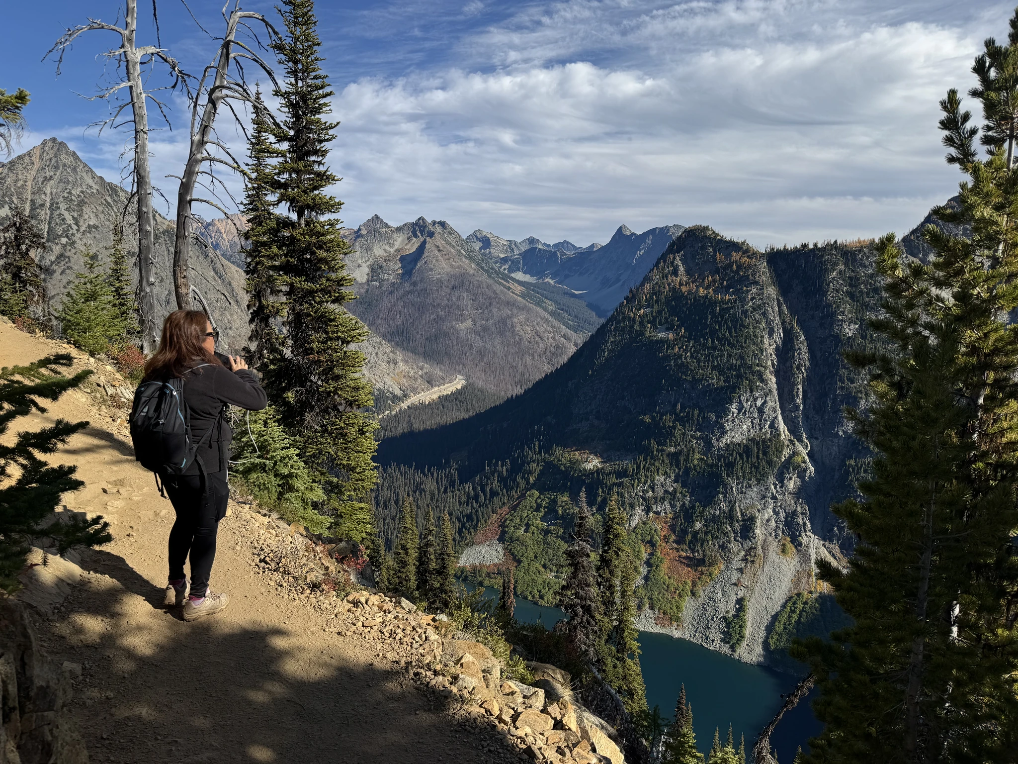
Ying is enjoying the view.
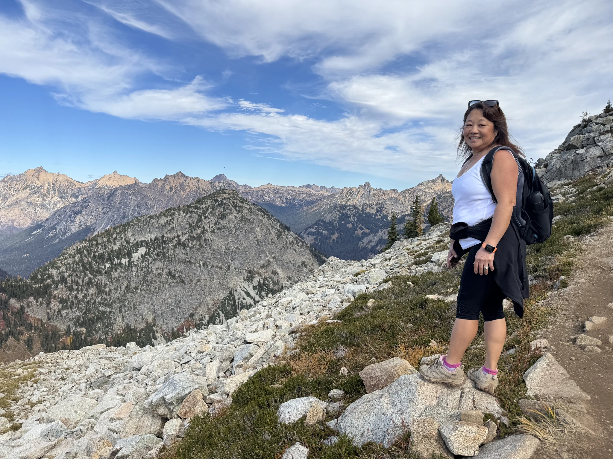
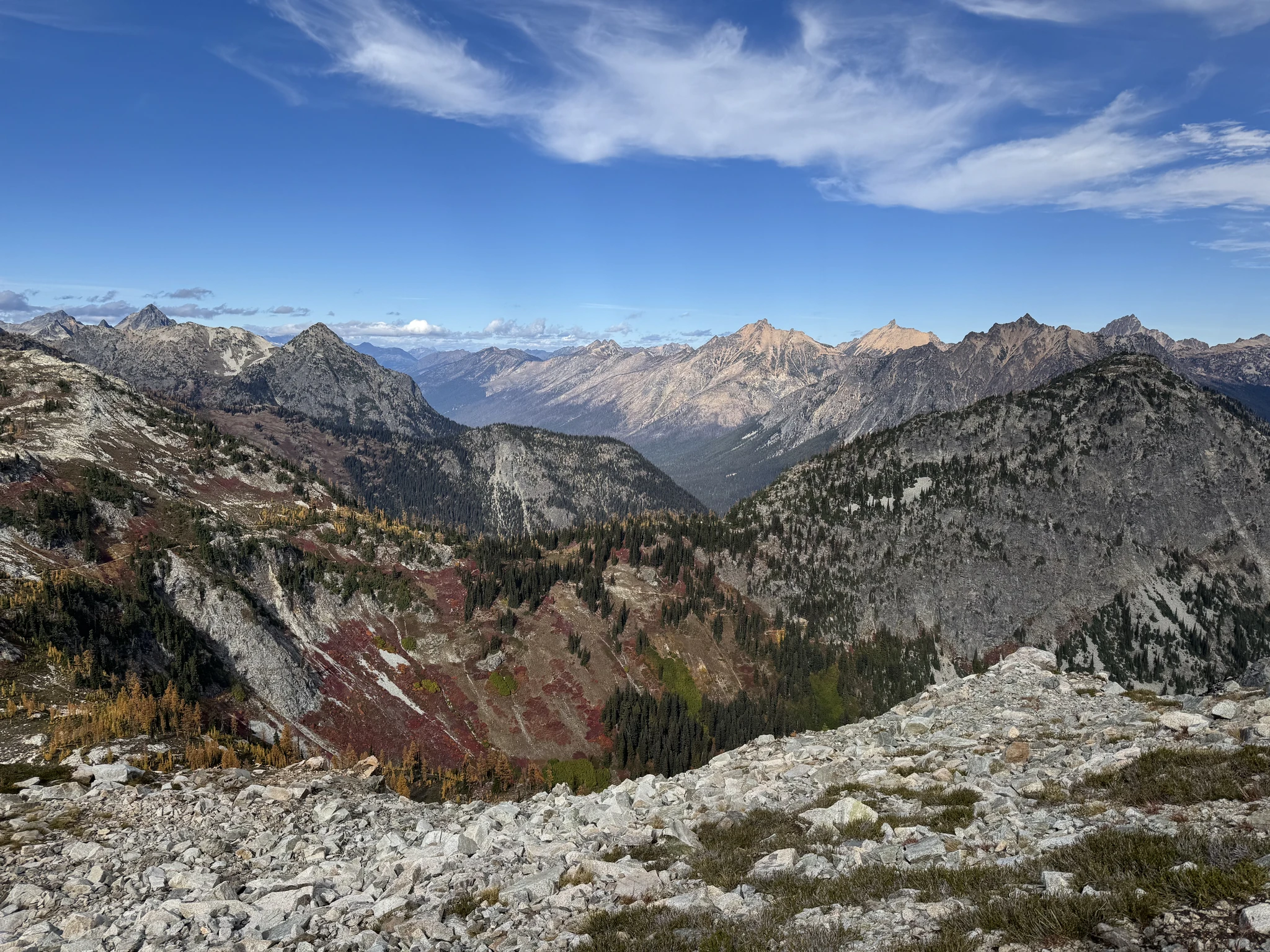
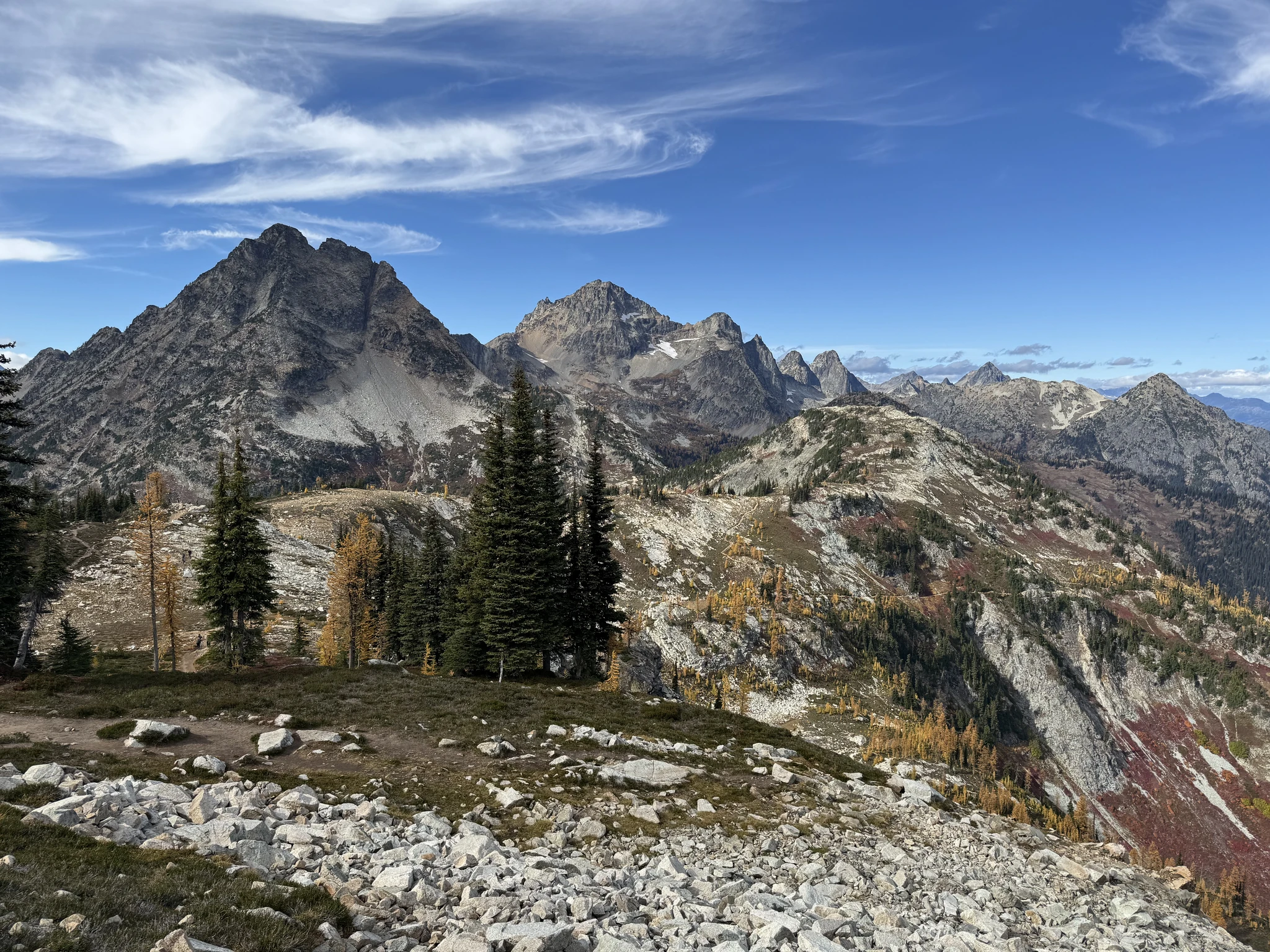
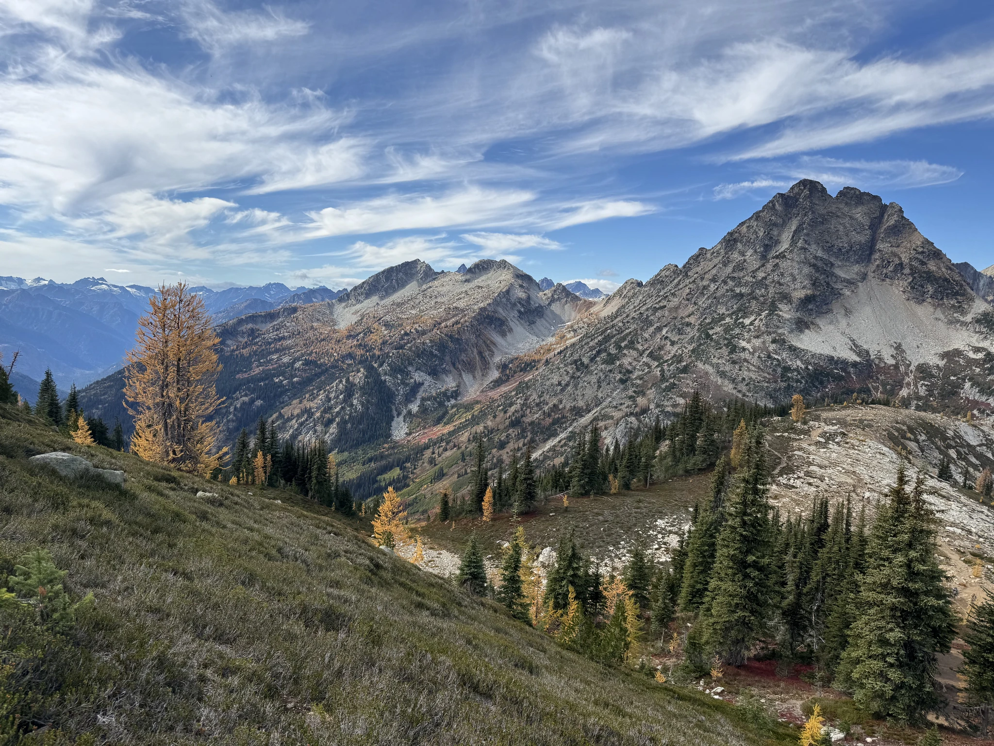
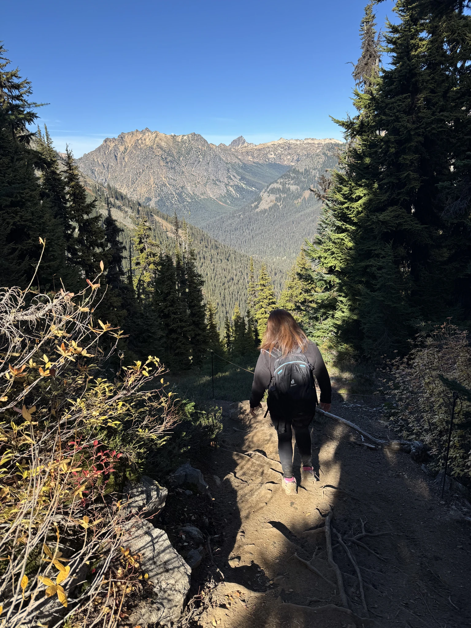
This is where the trail starts going back down. We will take a lot of pictures of the view and have a lunch break before heading down.
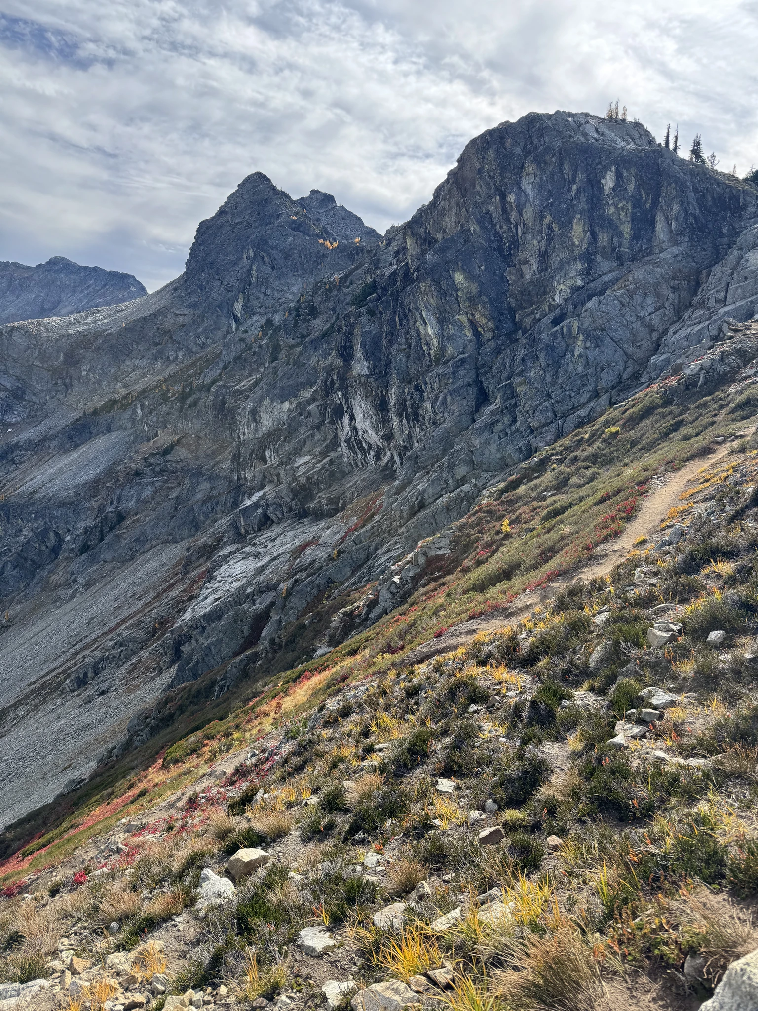
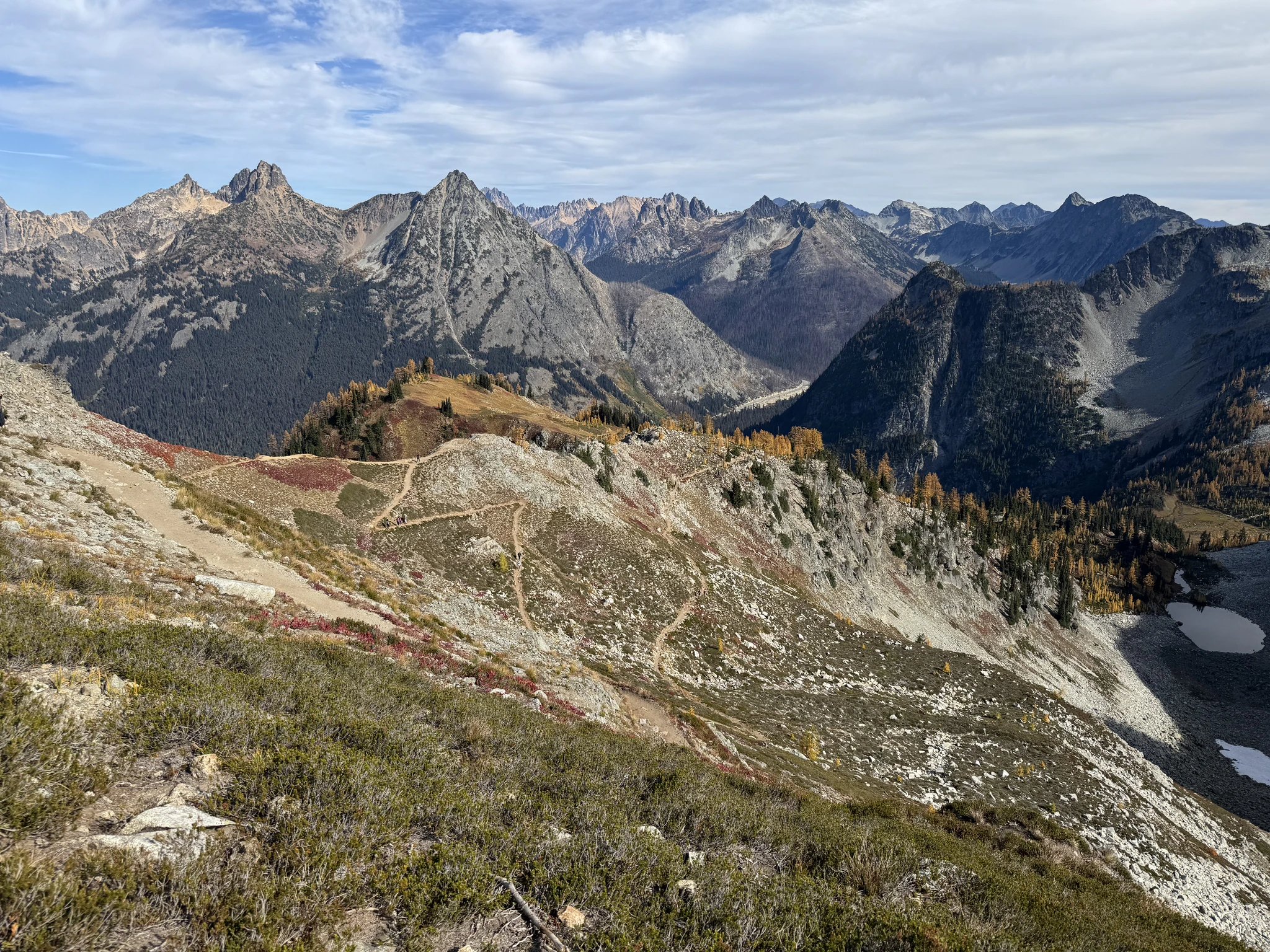
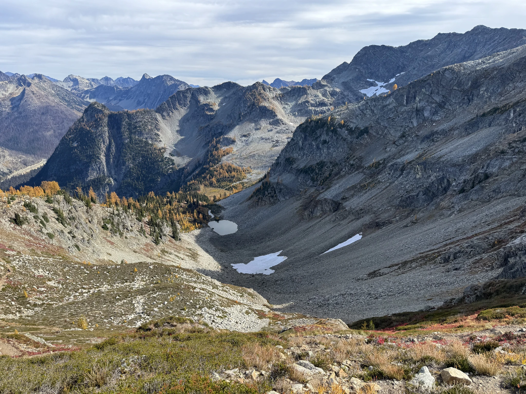
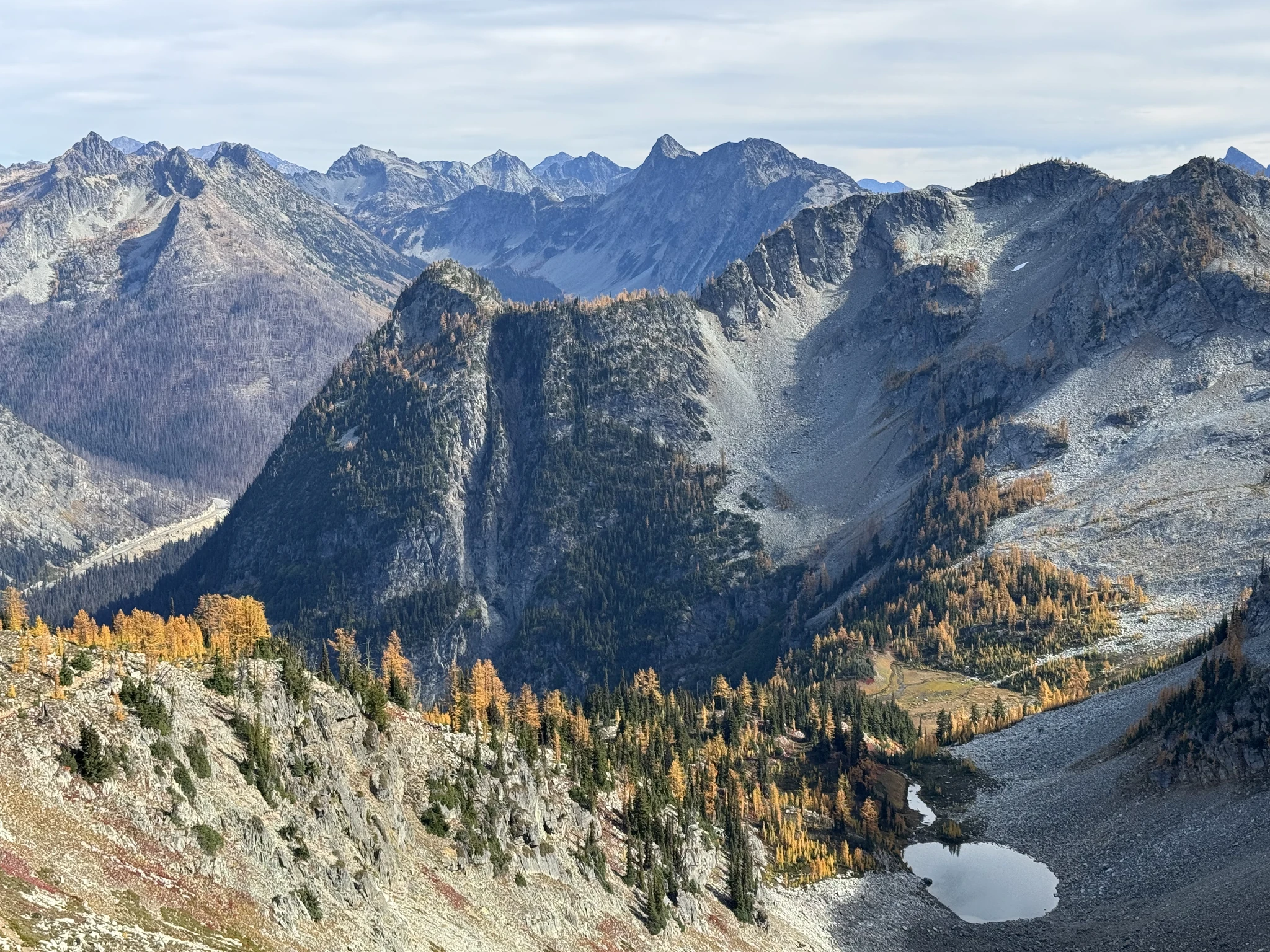
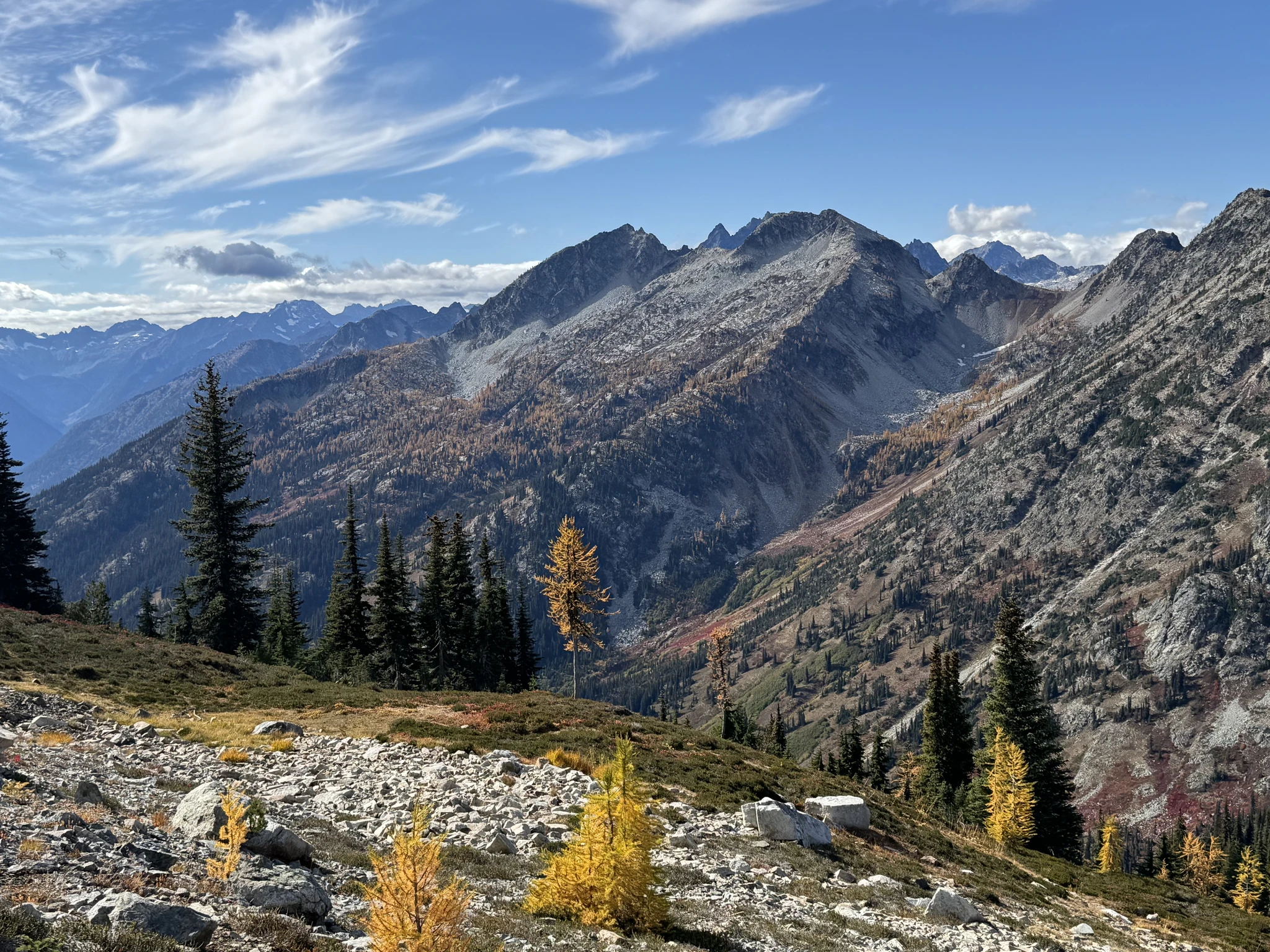
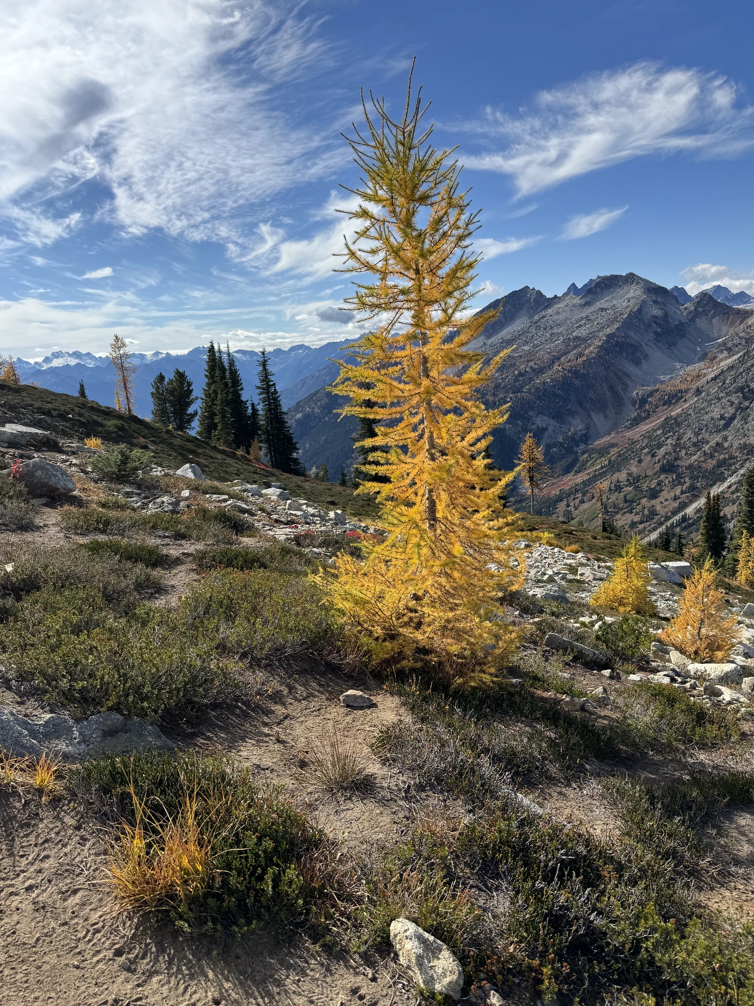
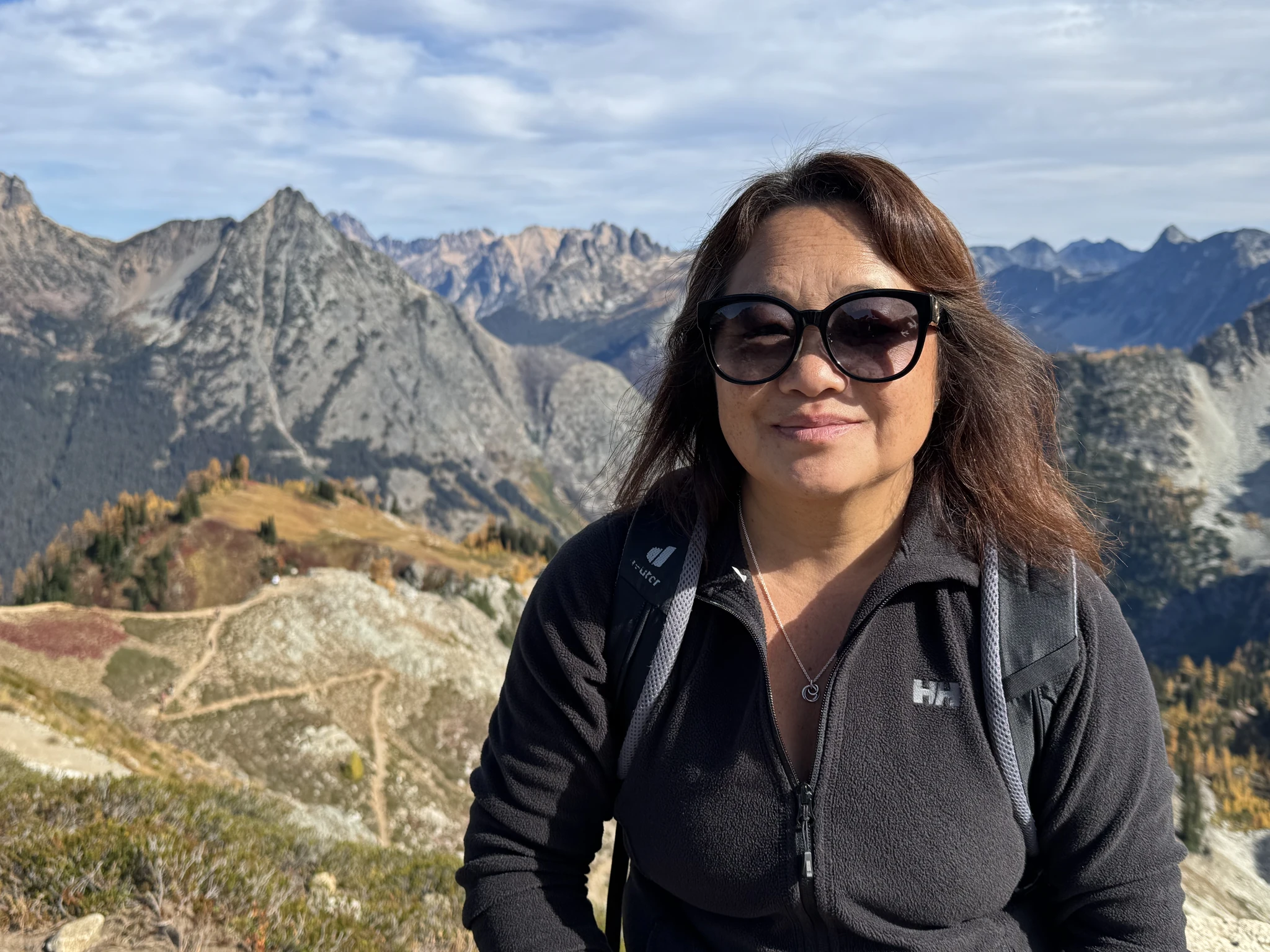
Off we go, its mostly downhill now.
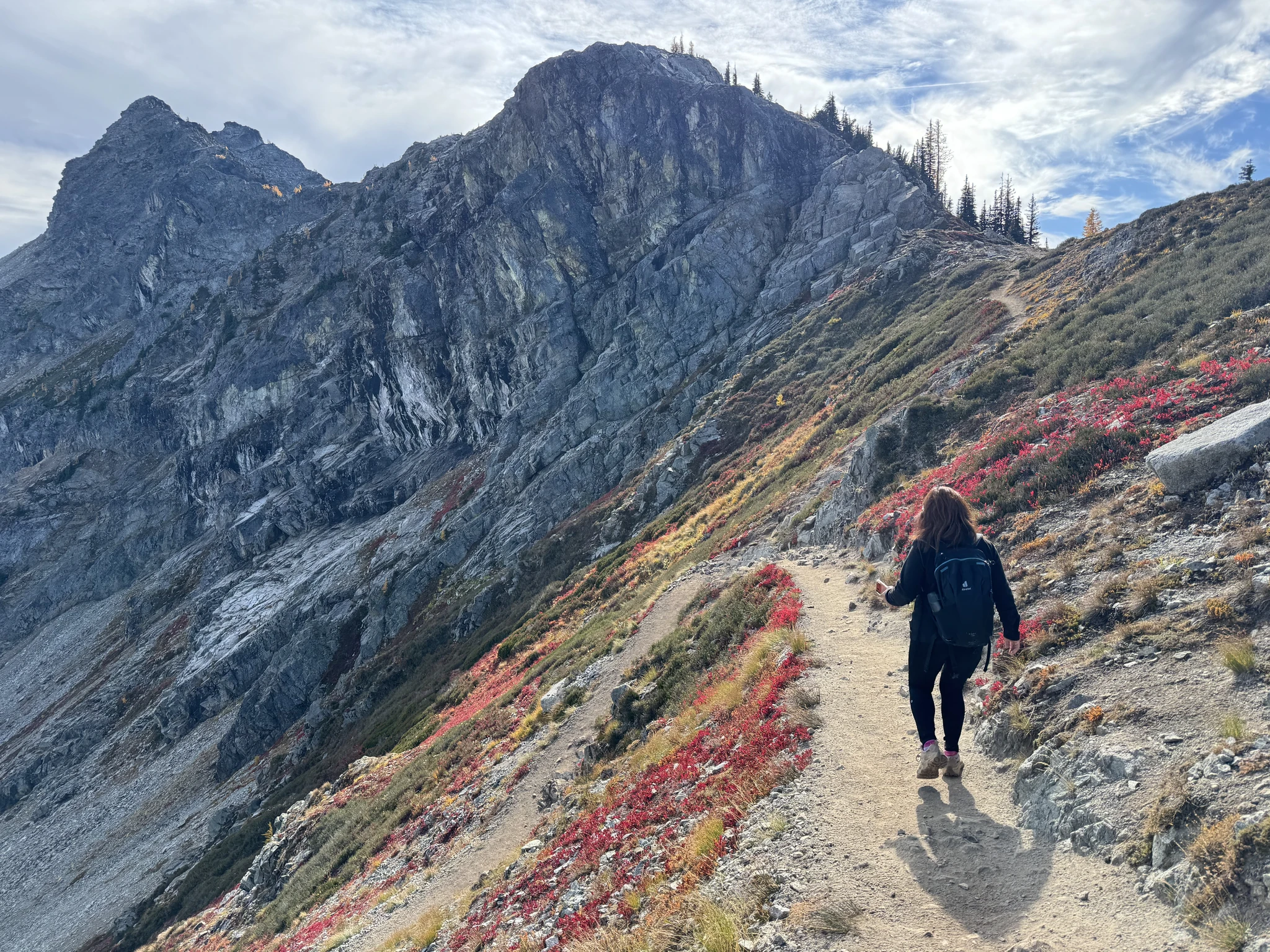
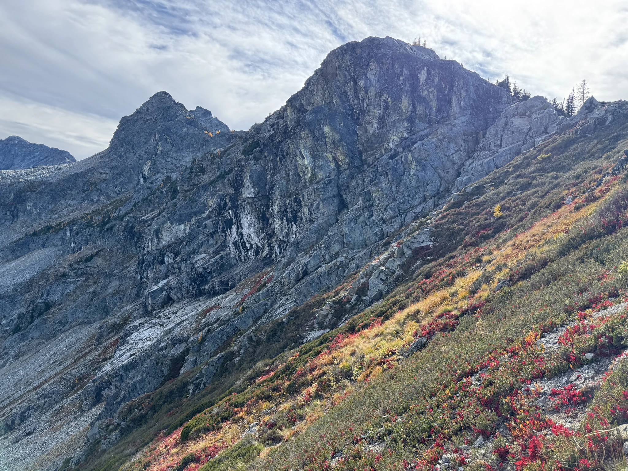
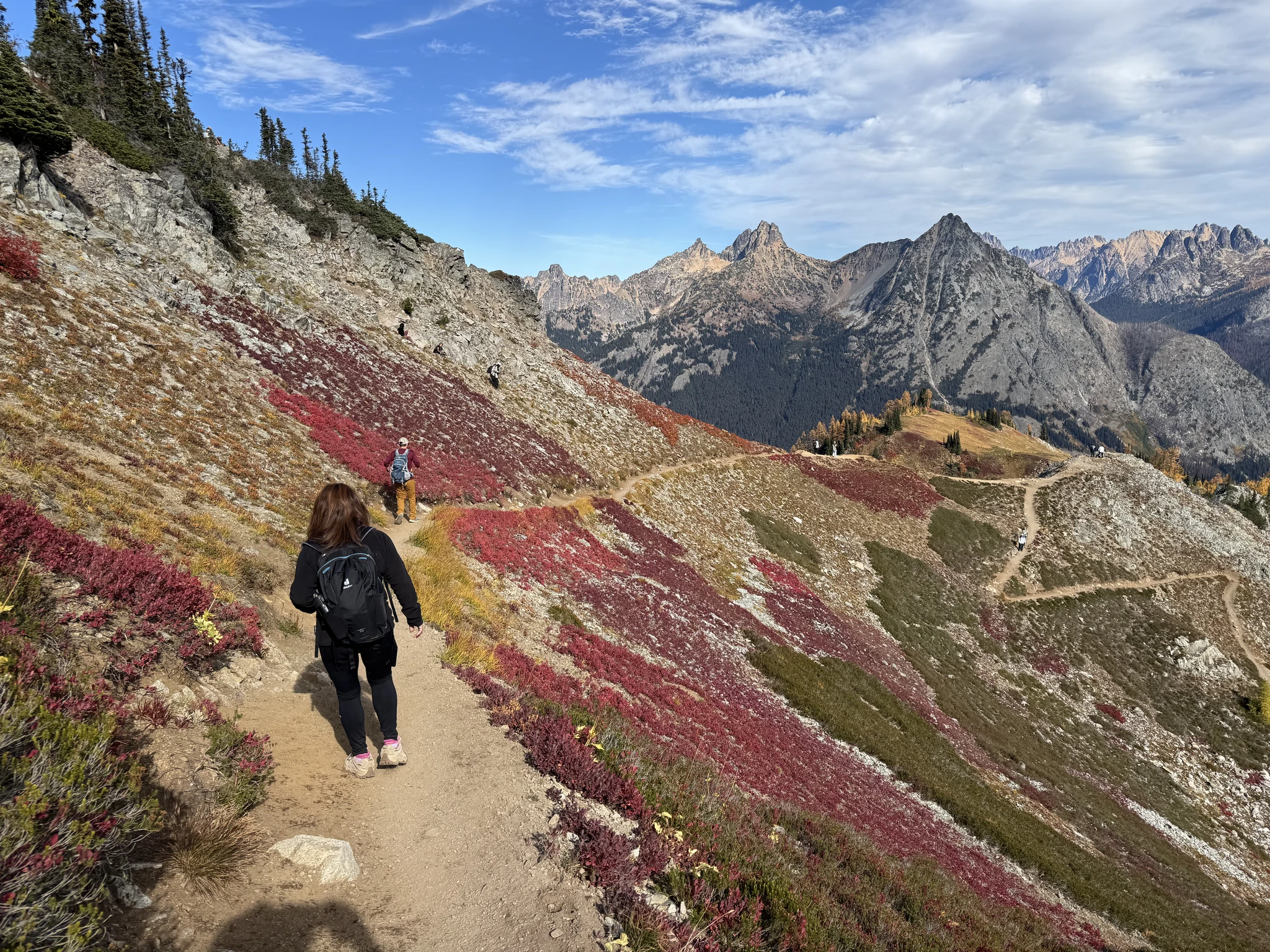
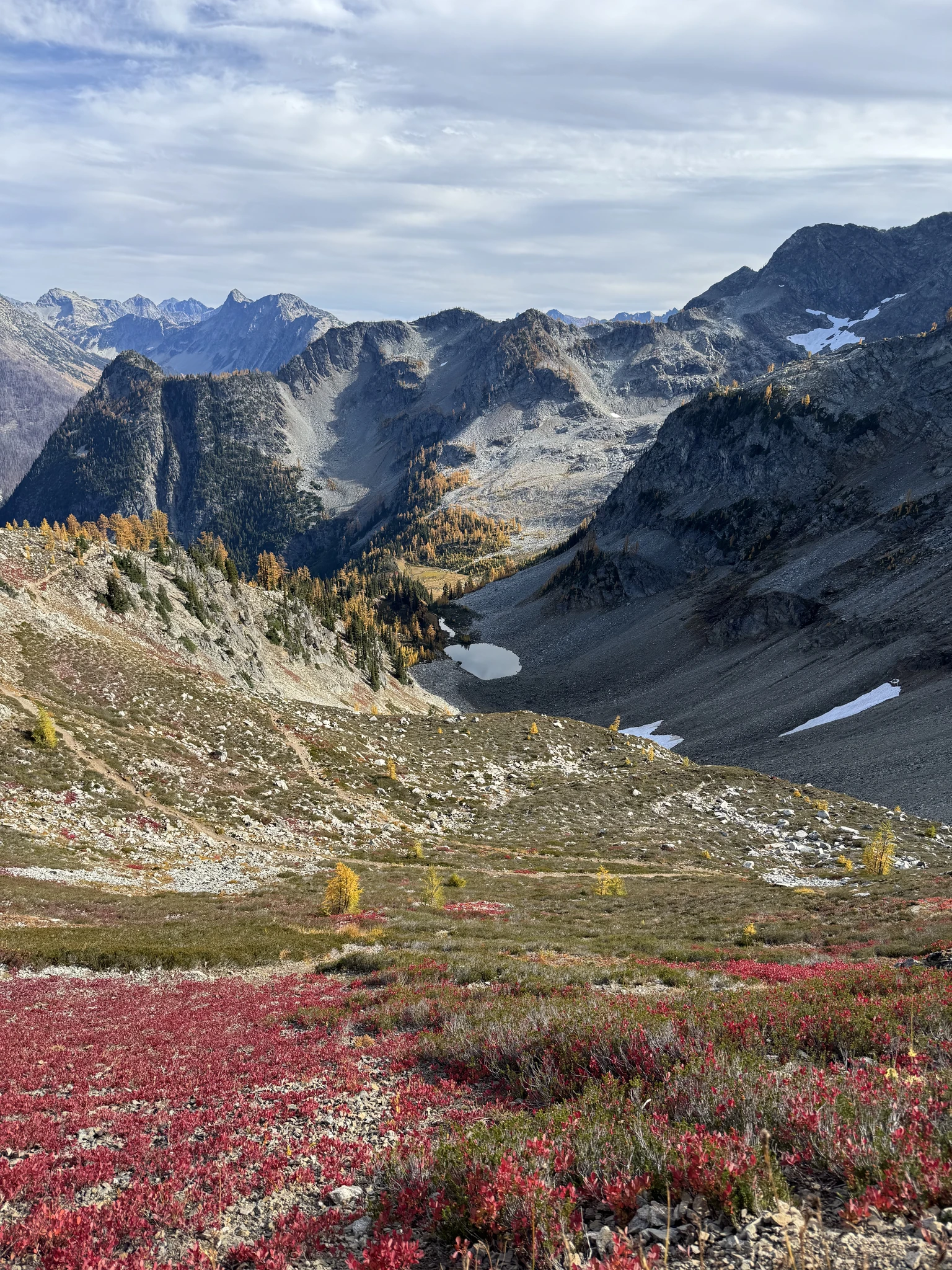
There is a path to a lookout to check out with some other hikers.
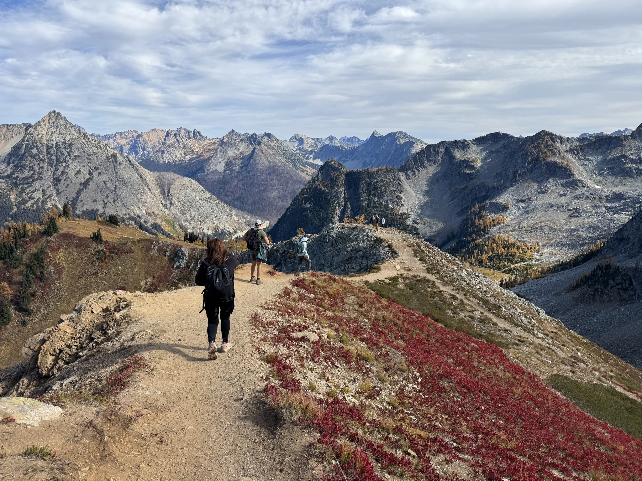
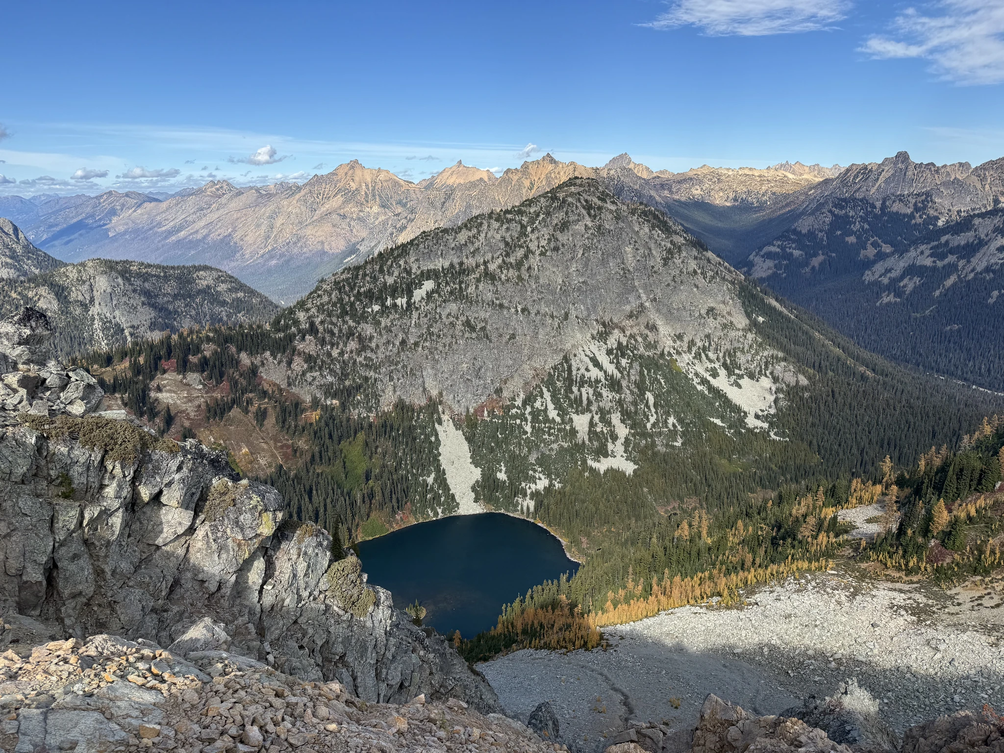
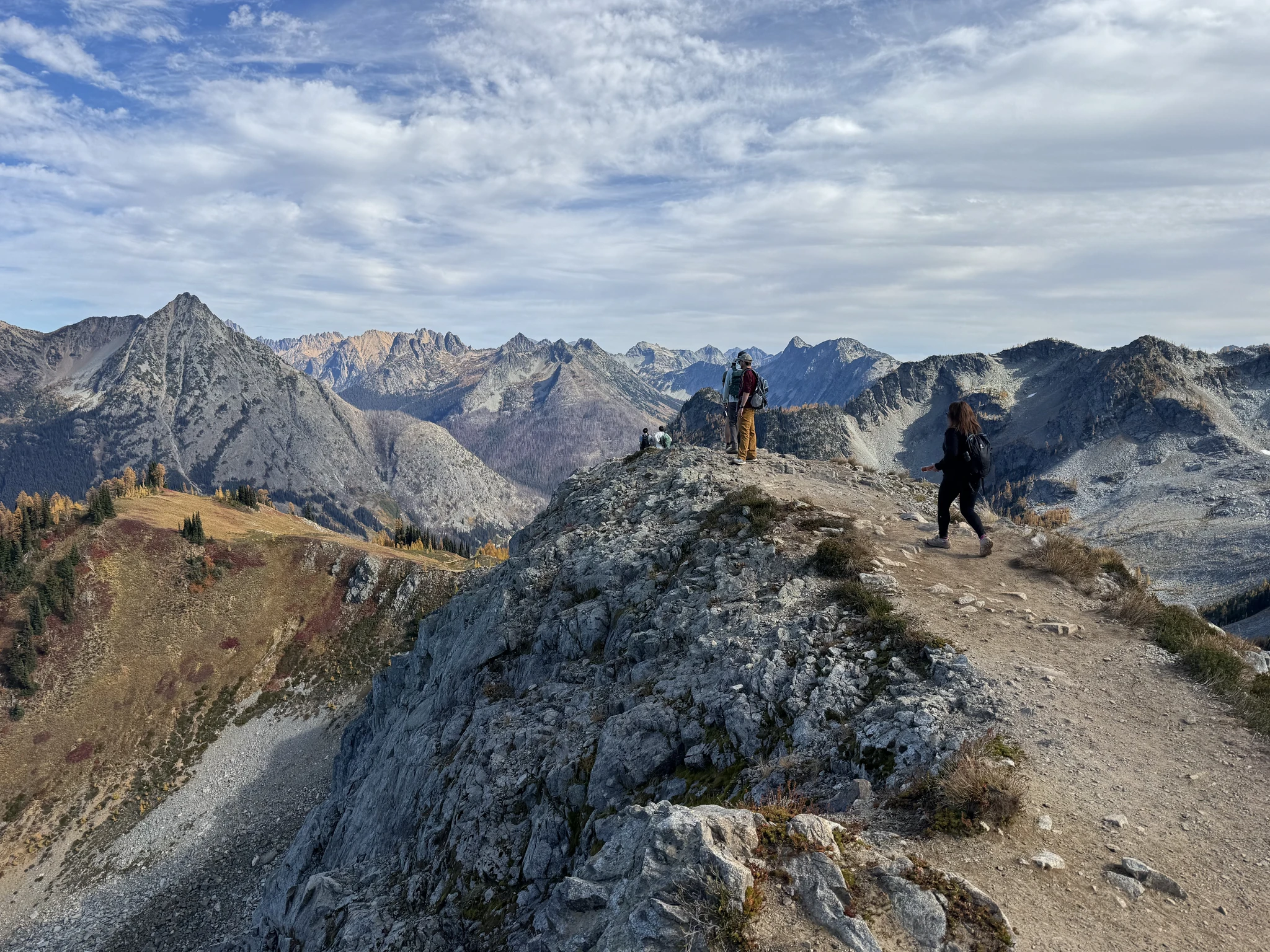
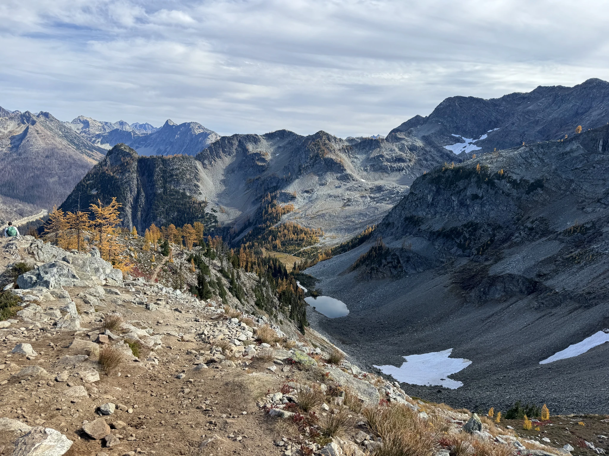
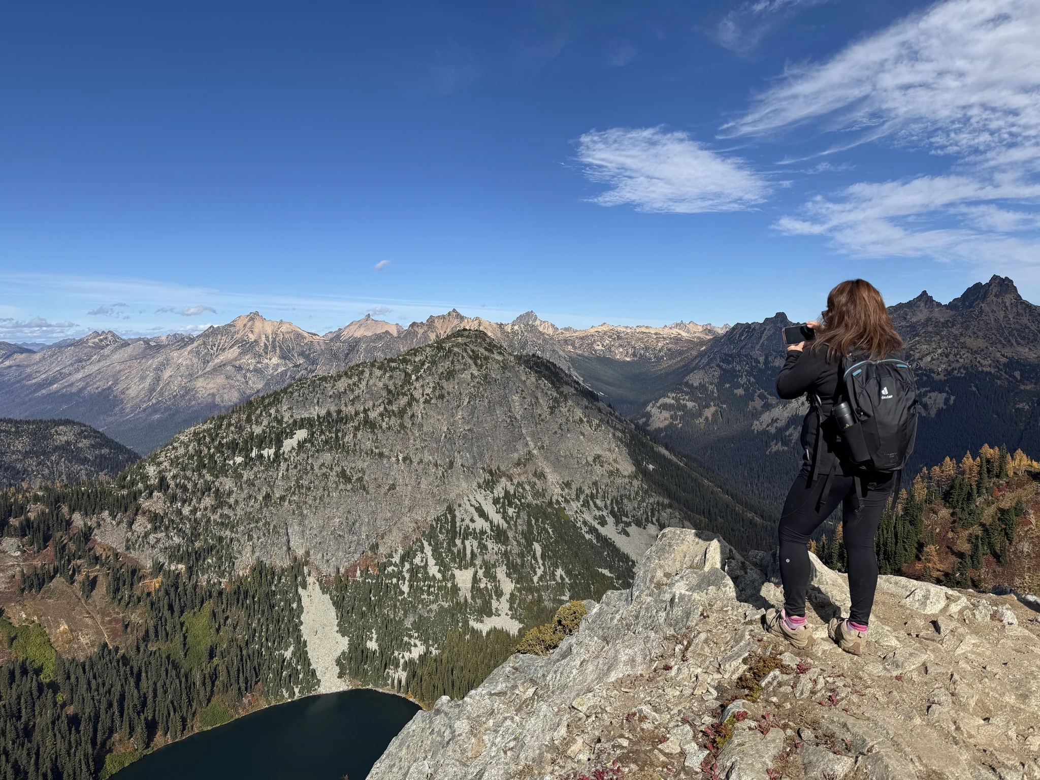
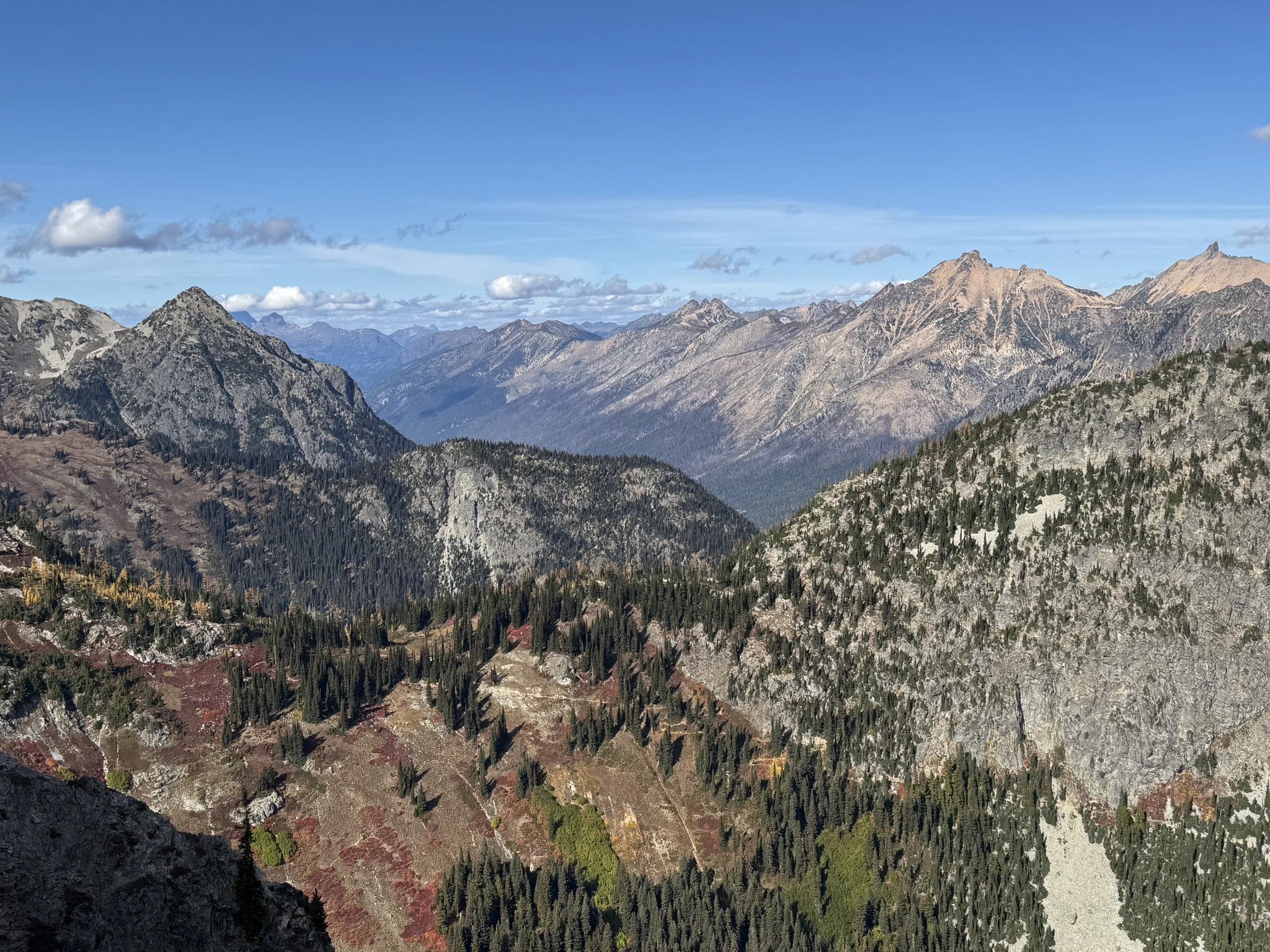
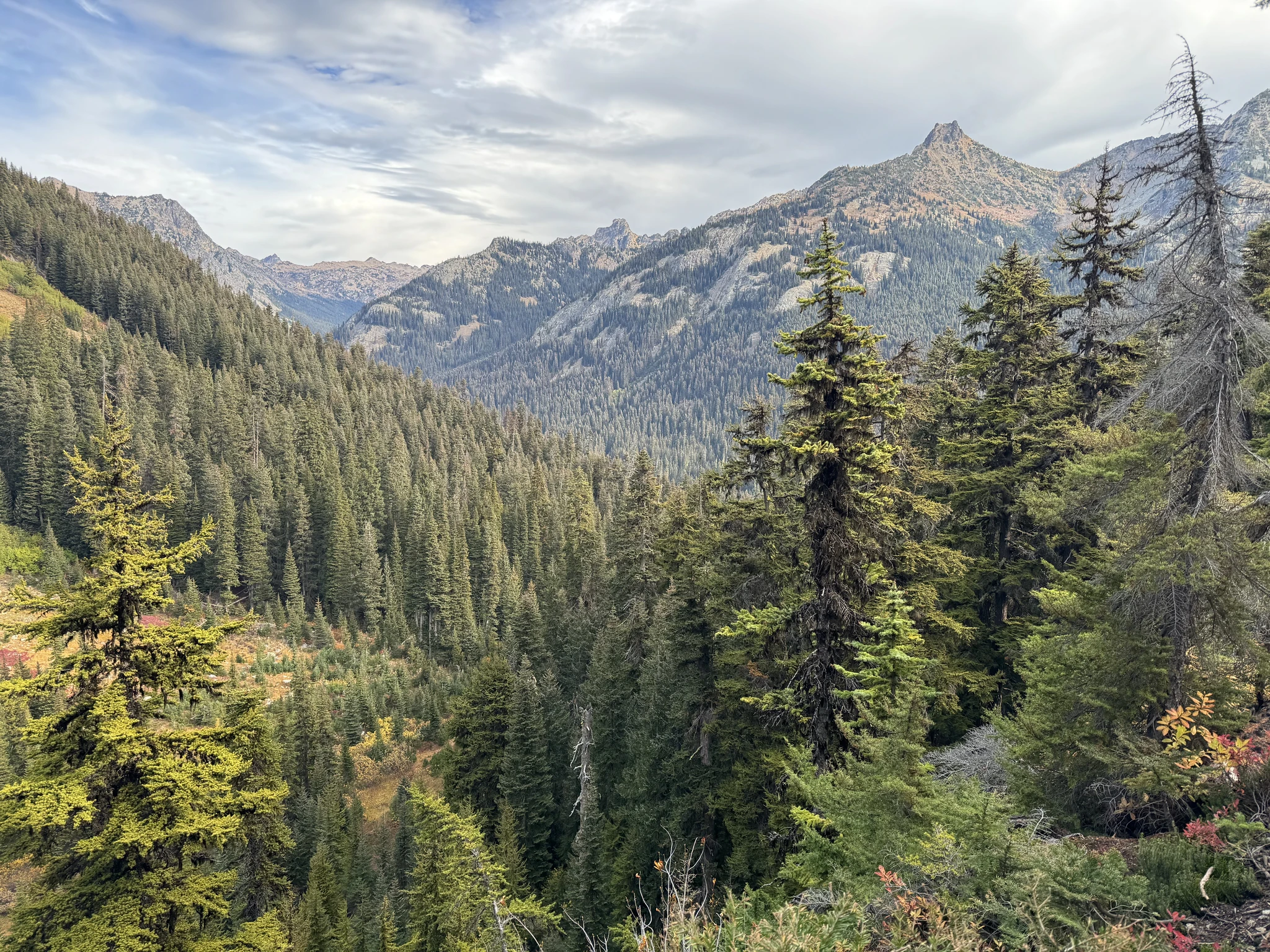
Continuing down. We are not done taking photos yet as there are still some amazing views on the way down.
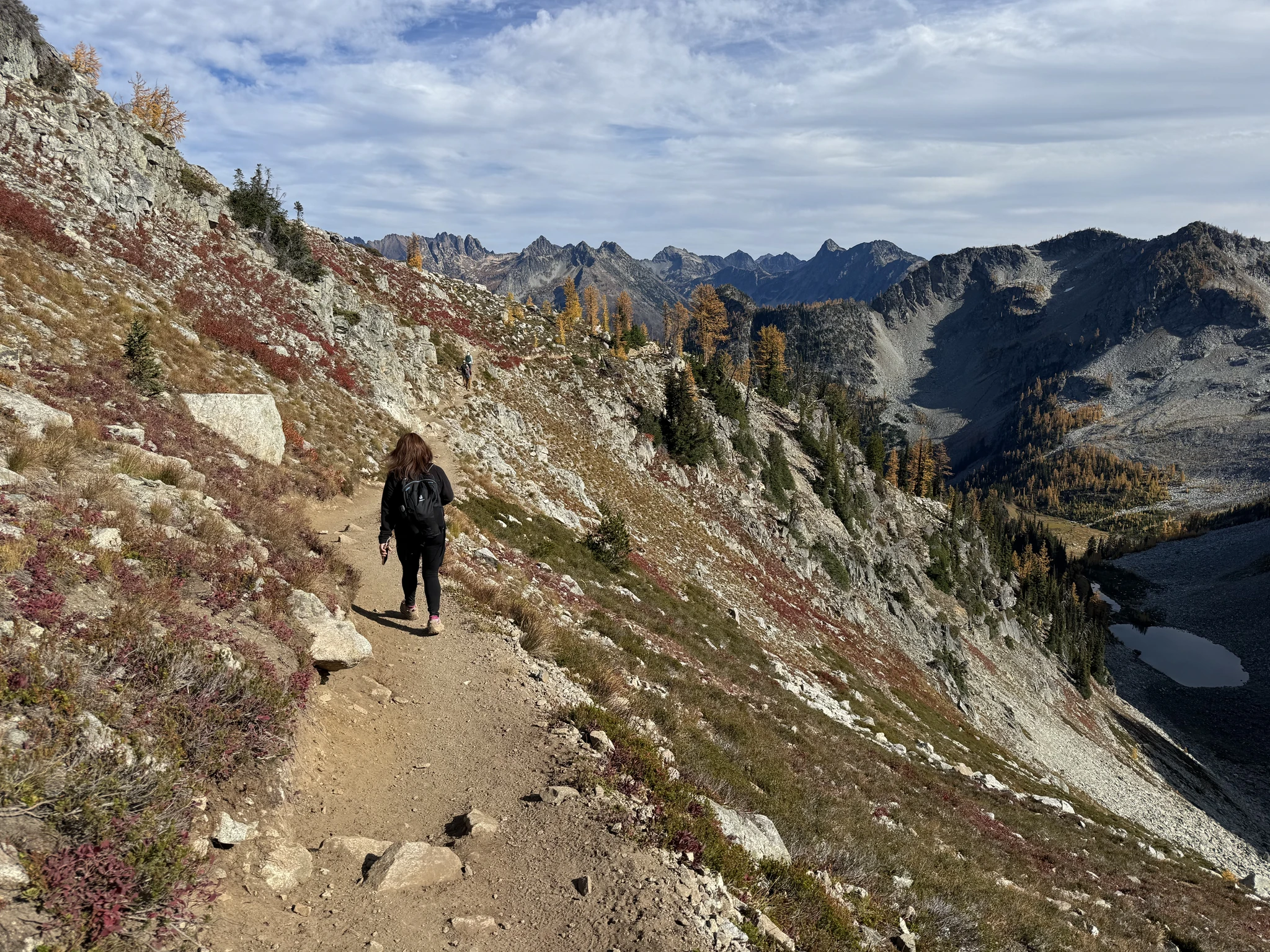
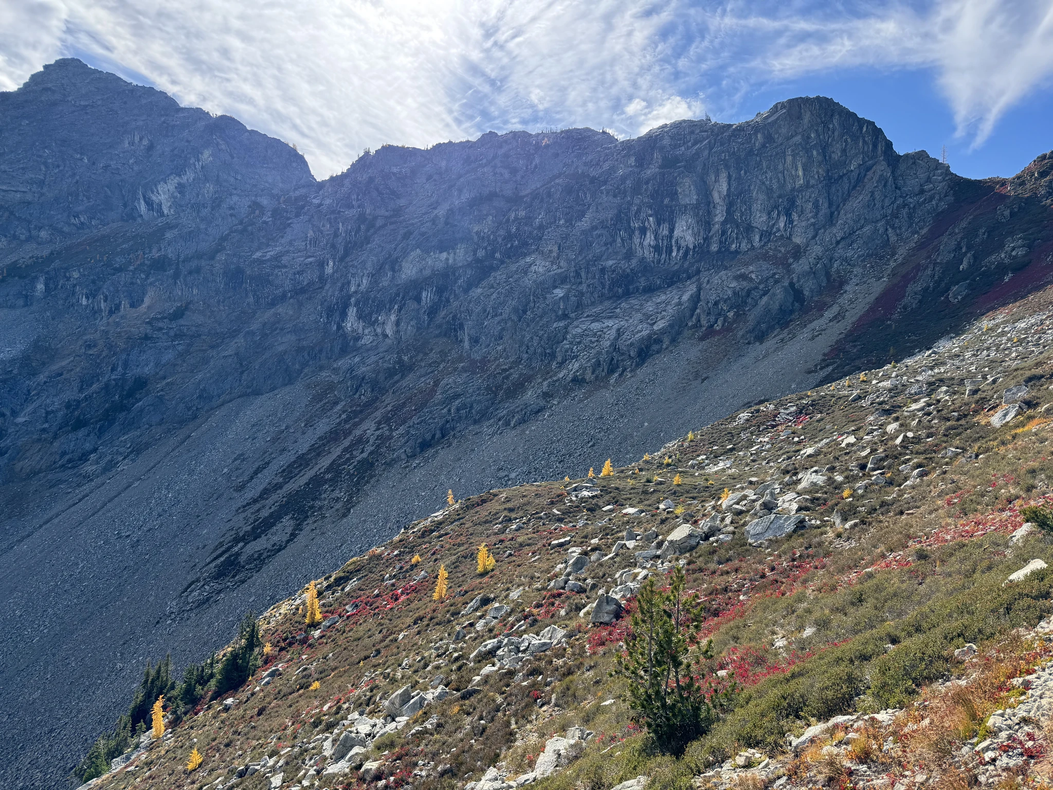
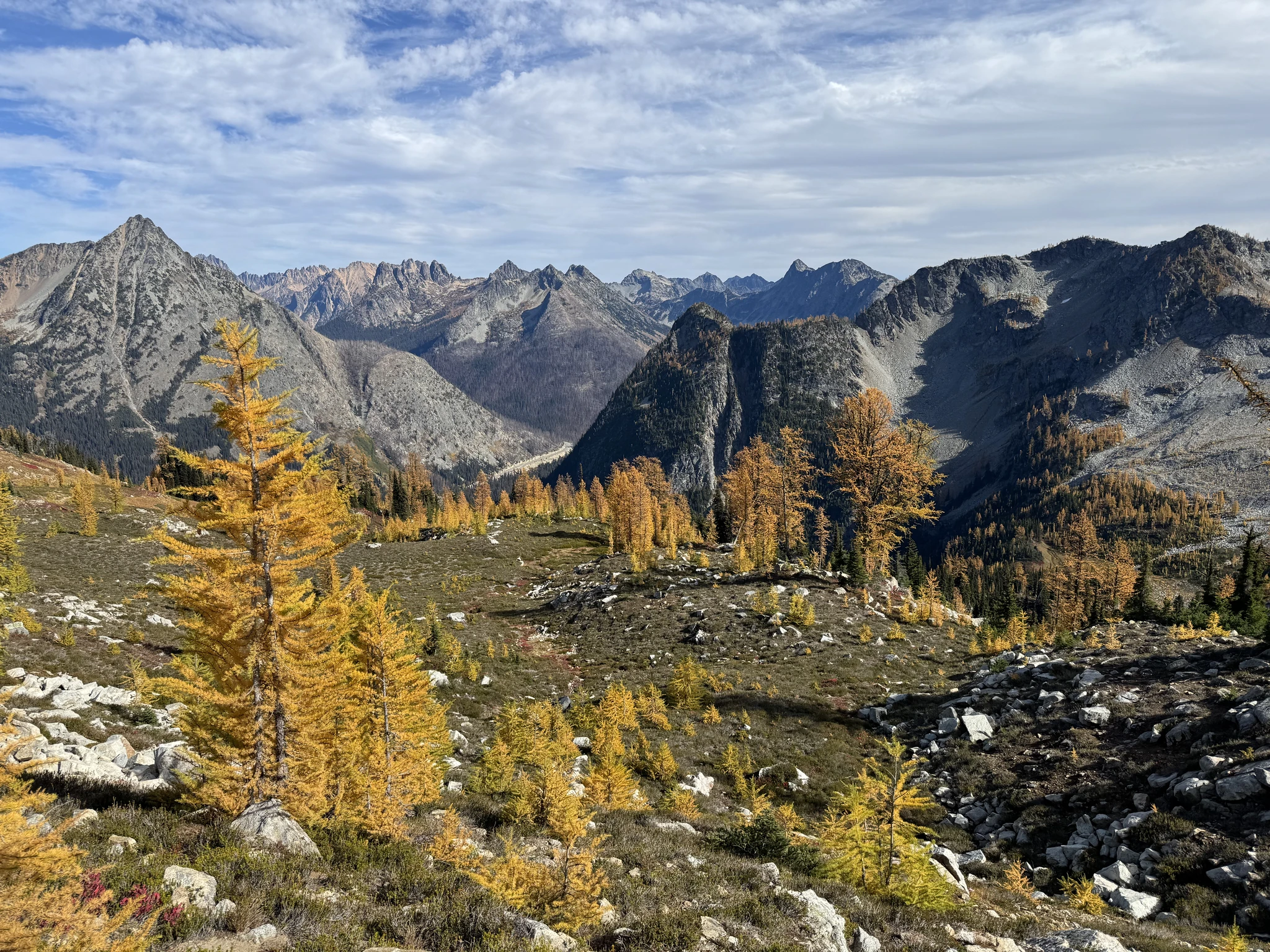
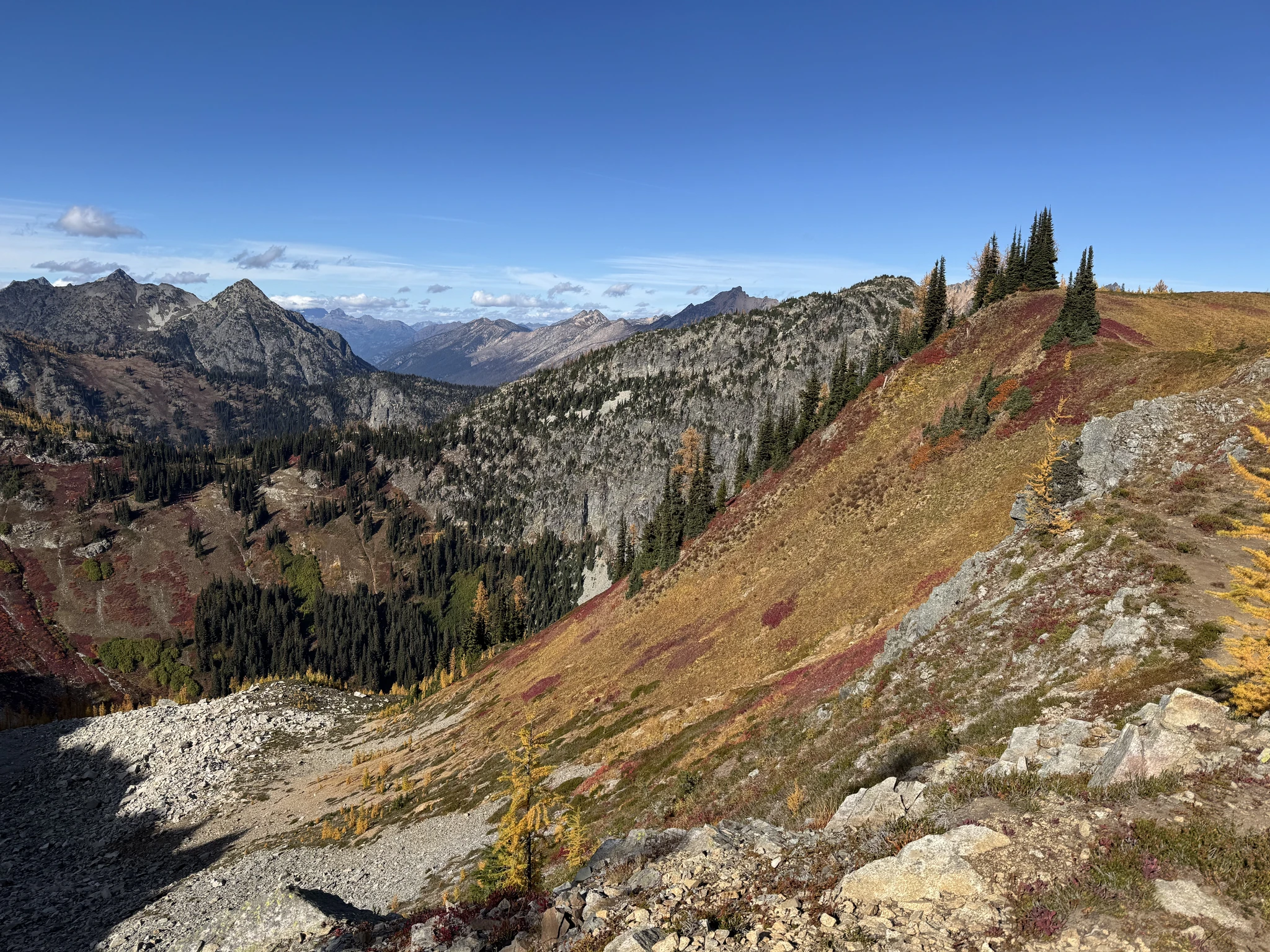
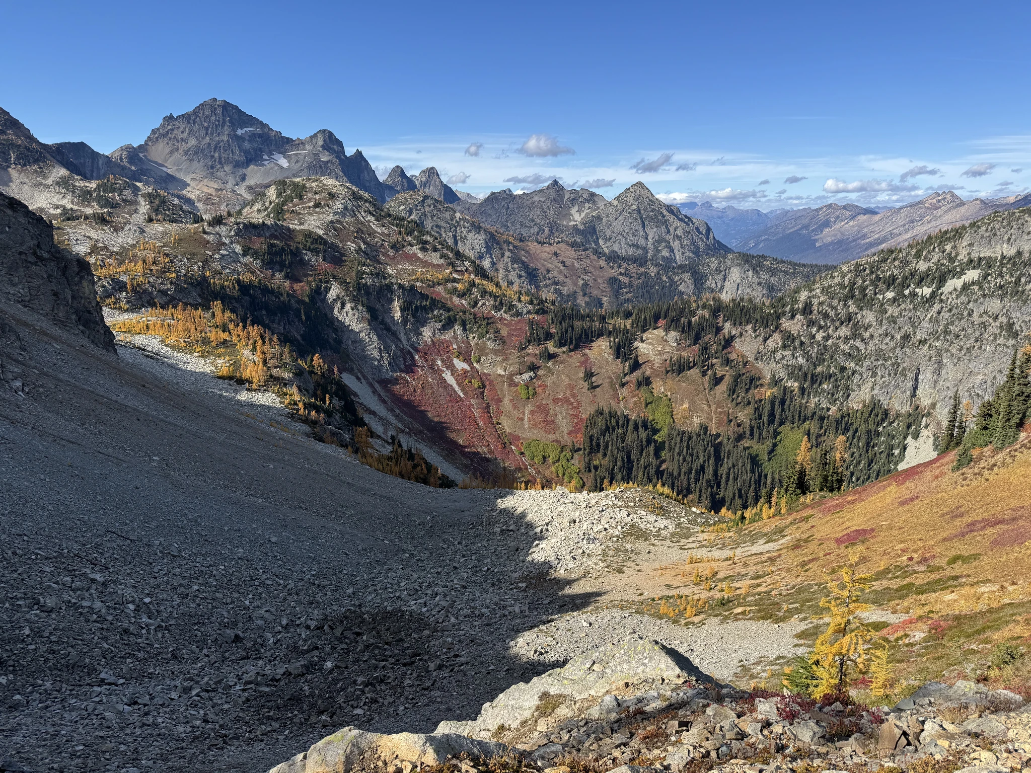
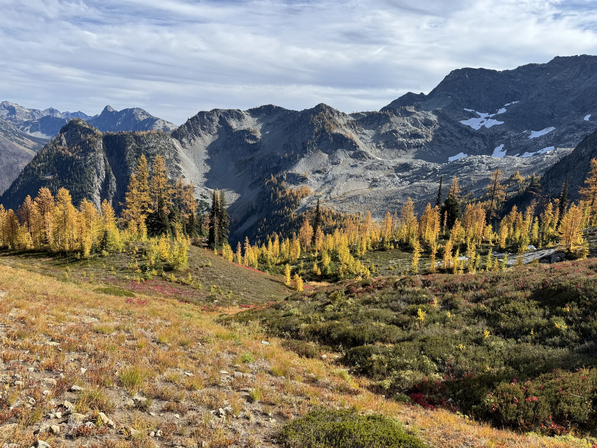
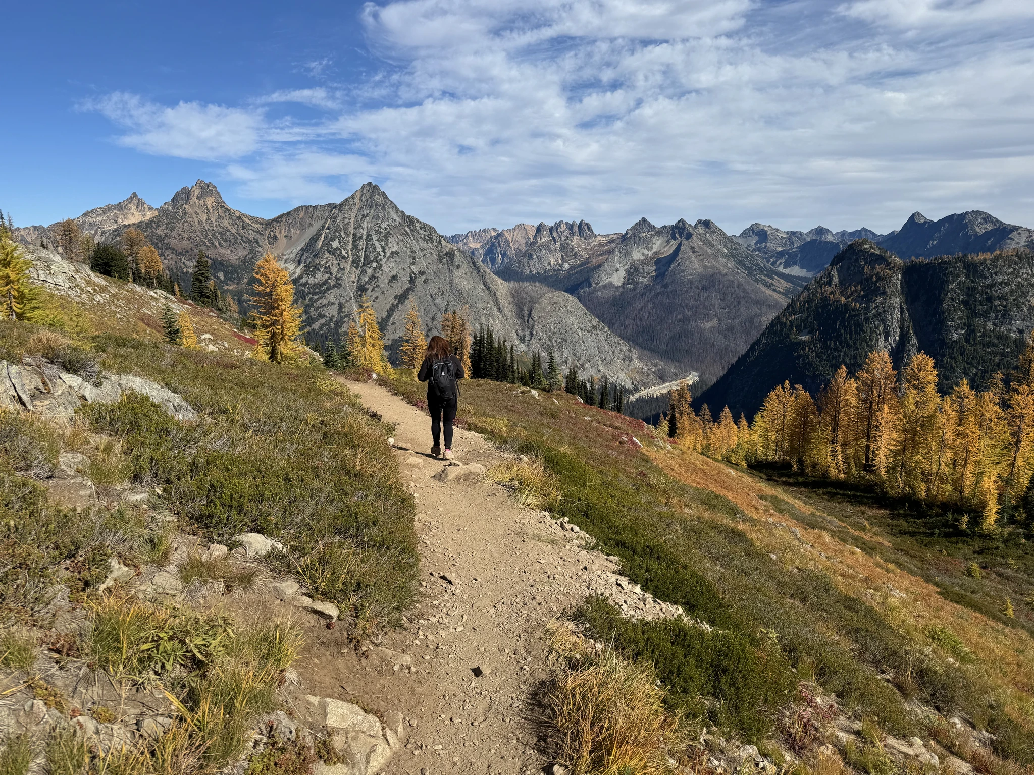
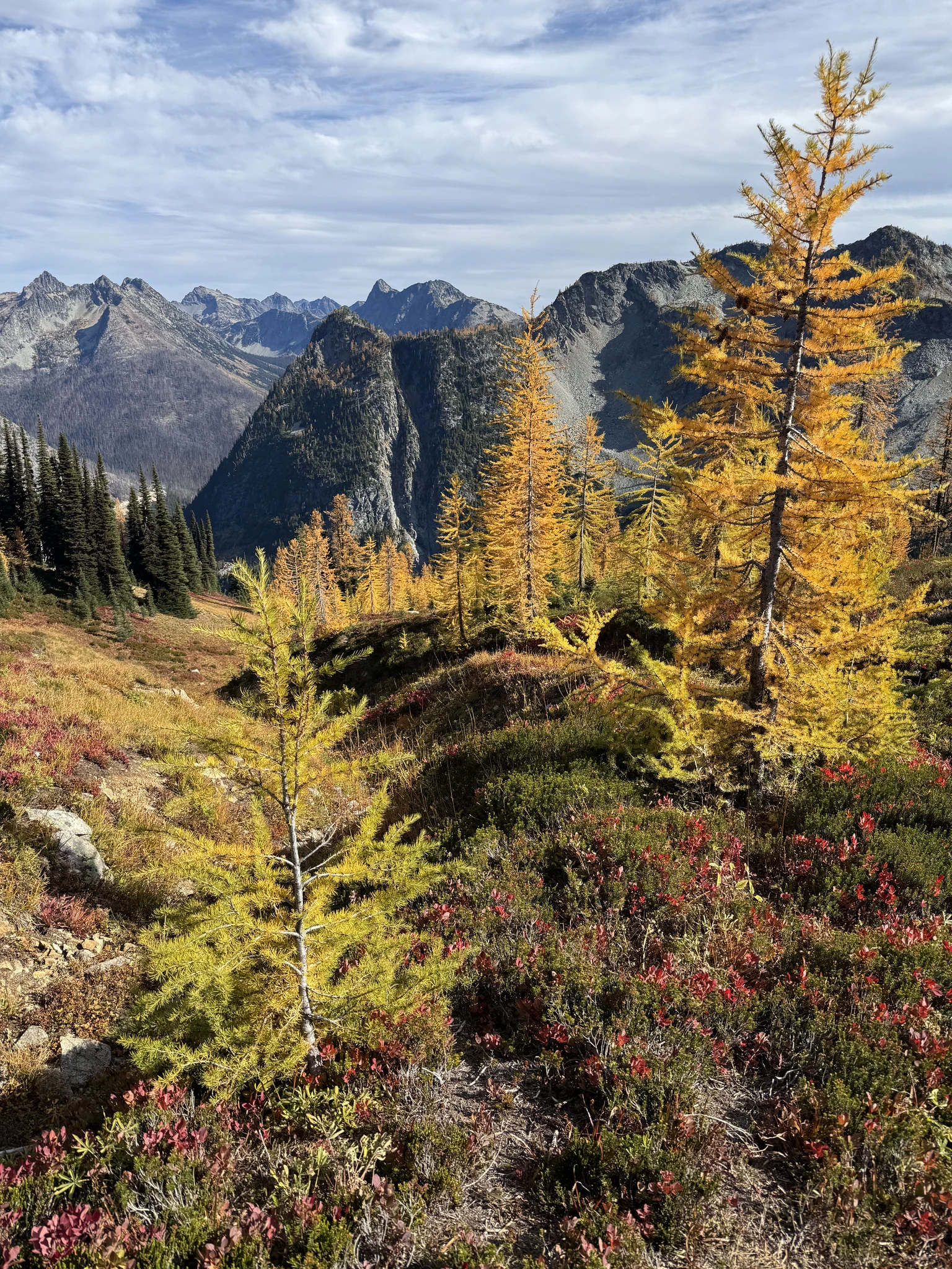
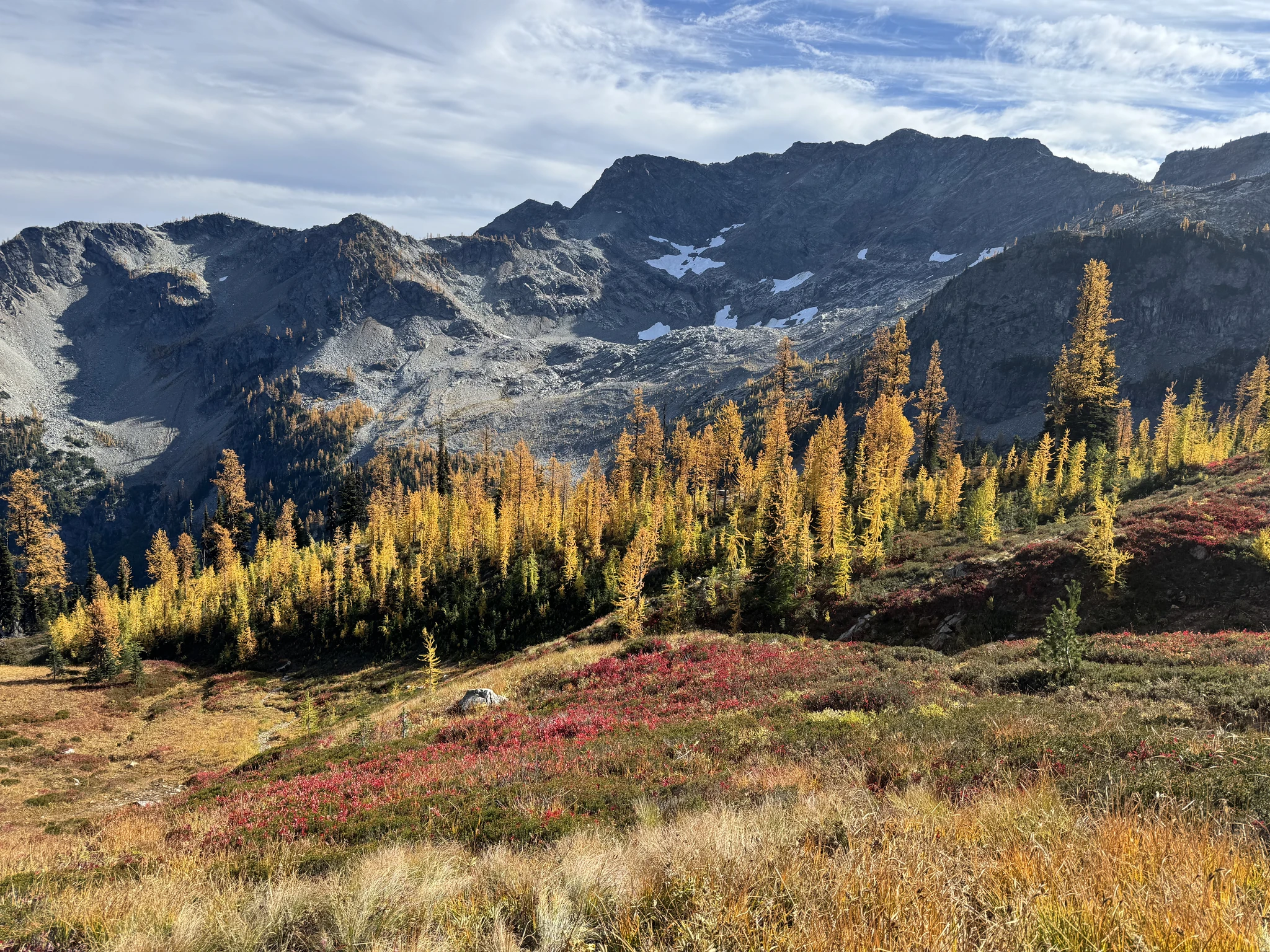
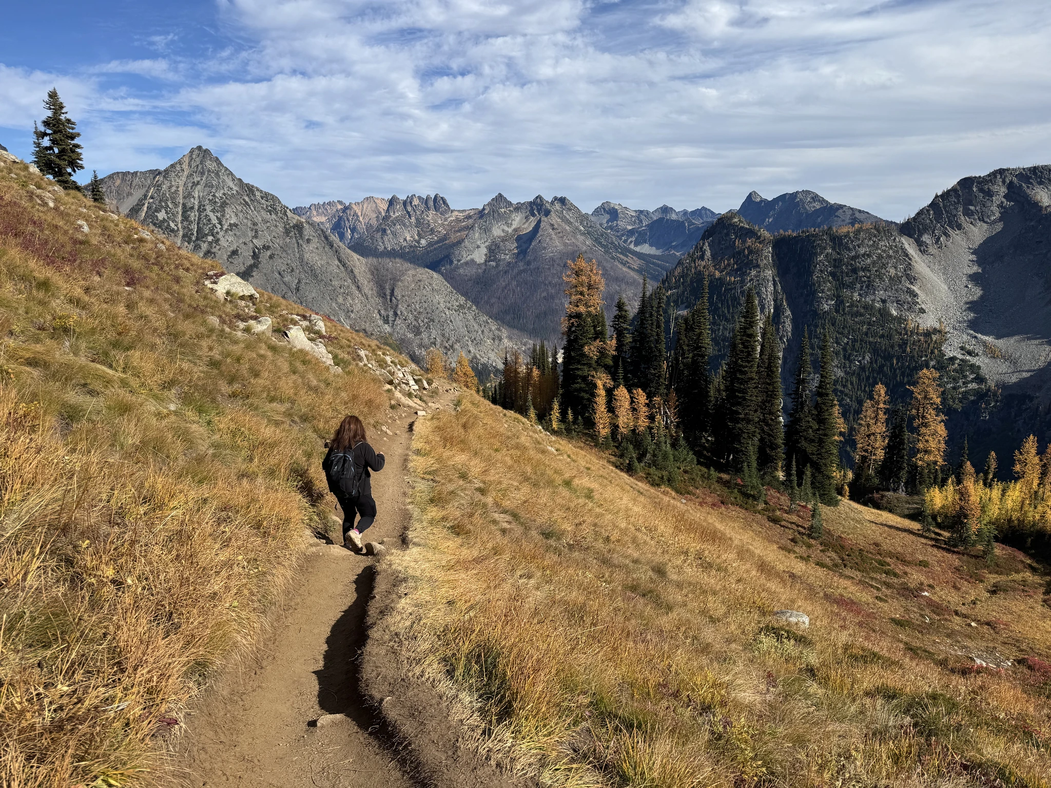
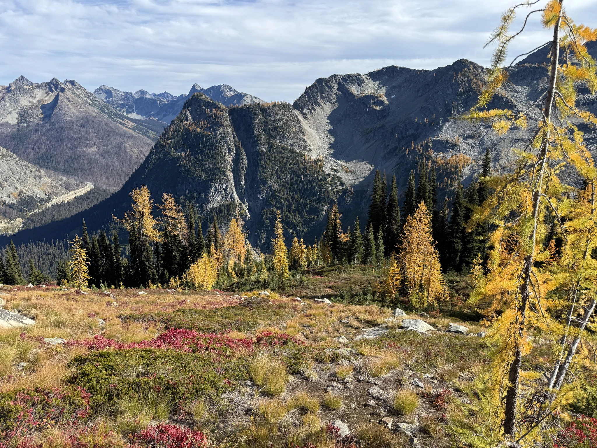
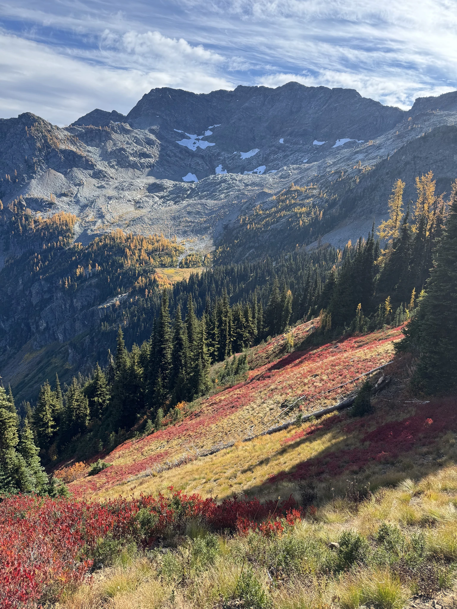
I believe this is a view of Rainy Lake. Some of the cars parked on the freeway are here because folks are hiking to Rainy Lake.
The rest of the hike is fairly steep downhill through the woods.
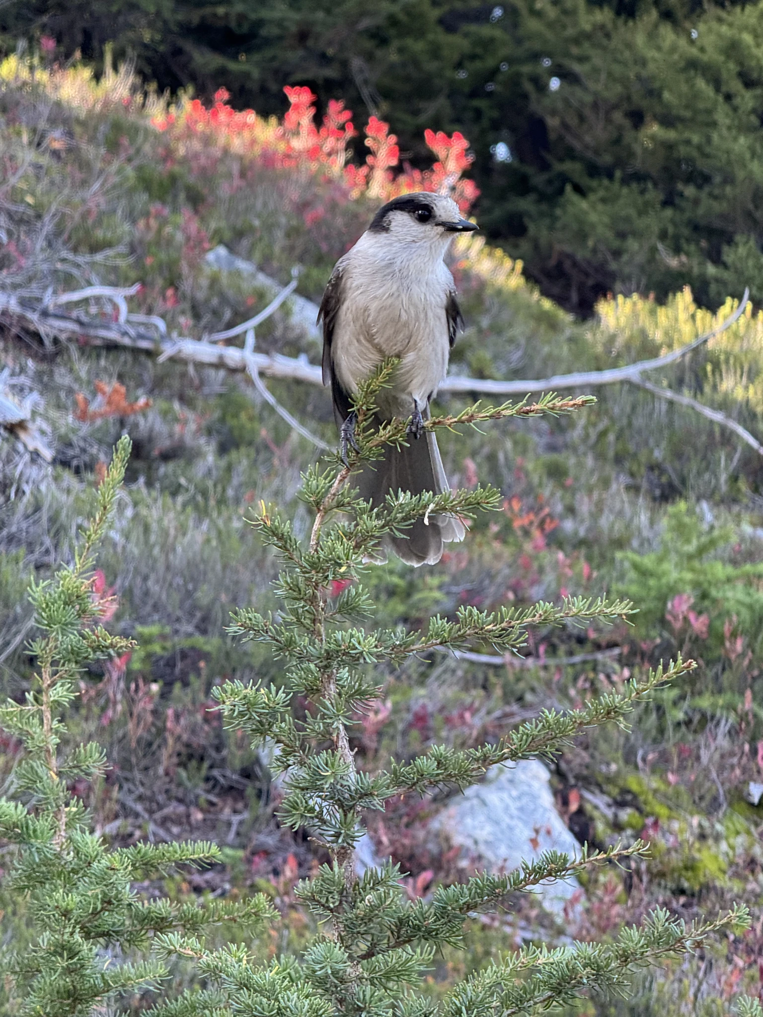
This bird doesn’t seem bothered by us and I’m able to take pictures of it from about 6 feet away.